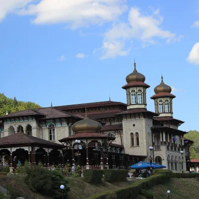
Goru Peak
Goru Peak (Rom. Vârful Goru, Hun. Górhavas) is the highest summit of the Vrancea Mountains (Bend Carpathians), with an elevation of about 1,785 m (OpenStreetMap gives 1,784 m). It lies at the far west of Vrancea County, on the border with Buzău County and very close to the Covasna County line, on the lands of Năruja commune. According to the Hungarian Wikipedia, until 1920 (and again until 1968) the mountain belonged to historic Háromszék, so the so-called "Millennial Border" ran here; from the neighboring Lăcăuți Peak, you can reach Goru in about 3 hours.
The nearest settlement is Comandău (about 11.9 km as the crow flies). Below the summit, about 600 m away, is Spring below Goru, and about 1.2 km away is Hut below Goru.
Nature and history
The western slope of the mountain is the "Muntele Goru" (Muntele Goru) nature reserve, covering 388.1 ha, IUCN category IV (mixed type), declared by Law No. 5 of March 6, 2000. It is part of the Putna – Vrancea Natural Park and also includes the basins of the Roșelor stream (a left tributary of the Goru River), Cotit, and Afinisu. According to the Romanian Wikipedia, here you find a mix of boreal forests, alpine meadows, dwarf pine and juniper thickets, rocky vegetation, cowberry and bilberry shrubs, and mountain streams—habitats for a great diversity of plants and animals of the Bend Carpathians.
Getting there / routes
The easiest way to Goru is from Lăcăuți Peak (the highest point of Covasna County), which is reached by a route from Comandău. According to muntii-nostri.ro, the blue cross trail starts below Lăcăuți and follows the Dobroslavul ridge along an overgrown forest road, descending through dense coniferous forest to the Goru Saddle (Hun. Gór-nyereg). From there, it's about a kilometer uphill to a wide clearing with the abandoned Stâna din Goru sheepfold. The trail then re-enters the forest and after 1.1 km reaches a junction below the summit with a signpost. Here, the route turns north, passes a developed spring, and climbs steeply to the top of Goru.
From the summit, the markings return to the spring and head east through dense coniferous forest into the valley of the Goru stream. In the valley, the trail markings disappear, but the path continues for about a kilometer downstream to the confluence with the Zăbala valley, where it meets the red triangle route. The entire hike is 10.4 km, about 5 hours, with 354 m of elevation gain, and is of moderate difficulty.
Safety, season and rules
In the "Muntele Goru" reserve, do not leave the trails, pick plants, or light fires. The routes here are long and little-traveled, and the section in the Goru valley is unmarked—have an offline map and allow extra time. In winter, deep snow significantly lengthens the approach. Bears are common in the Romanian Carpathians: stay on marked trails, make noise, avoid dusk, and do not keep food in your tent; near sheepfolds, shepherd dogs may attack—do not run, stop and shield yourself with your backpack (see advice from Salvamont România).
In case of emergency, call the national mountain rescue dispatcher 0SALVAMONT — 0725 826 668 or 112.
Getting there from Ukraine
Border crossings
- Porubne – Siret — road and pedestrian, 24/7
- Diakivtsi – Racovăț — road and pedestrian, 24/7 No freight traffic.
- Krasnoilsk – Vicovu de Sus — road and pedestrian, 08:00–20:00 Cars up to 3.5 t and pedestrians only; not 24/7.
- Solotvyno – Sighetu Marmației — road and pedestrian, 24/7 Passenger traffic only: vehicles up to 3.5 t with up to 9 seats, pedestrians.
- Diakove – Halmeu — road, 24/7 No pedestrian crossing.
By car
Chernivtsi – Brașov ≈395 km, ≈7 h 03 min (via Diakivtsi – Racovăț); Rakhiv – Brașov ≈419 km, ≈7 h 24 min (via Solotvyno – Sighetu Marmației); Uzhhorod – Brașov ≈522 km, ≈8 h 39 min (via Diakove – Halmeu). Times without border queues, our road routing (GraphHopper, OSM).
Checked 03.11.2026; border crossing hours and timetables change — check before you travel.
Comments
Travellers’ experience: reports, tips, questions.
No one has reported on this trail yet. Been here lately? Tell others what it is like now.
Water and shelter nearby
- Spring below Goru600 m · Not verified · 1 614 m
- Hut below Goru1.2 km · Not verified · 1 524 m
- Hut below Păișaua Arsă2.5 km · Not verified · 1 214 m
Nearby attractions
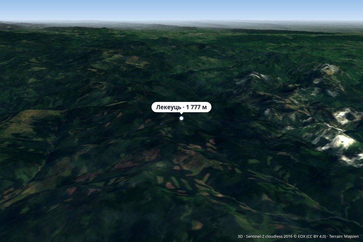 PeakLăcăuțialtitude 1 777 m4.4 km from Goru PeakThere has been a weather station operating on the summit for several decades, and between 1940 and 1945–1947, the state border ran across Lăcăuți.
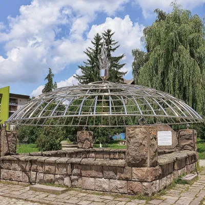 Water parks & thermal poolsCovasna: resort of a thousand springs, mofettes and heart careCovasna20 km from Goru PeakCovasna is a spa town in Covasna County, at the south-eastern edge of the Eastern Carpathians, where the mountains bend round in the Curvature Carpathians.
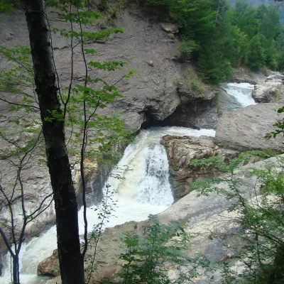 WaterfallPutna Waterfall (Cascada Putnei)Lepșa · Vrancea Mountains20 km from Goru Peak546 m above sea levelPutna Waterfall (Cascada Putnei, also called Săritoarea Putnei) is on the Putna river near the village of Lepșa in Tulnici commune, Vrancea County.