Fetifoiu
Fetifoiu (Rom. Vârful Fetifoiu, Hun. Leánykahavas, Saxon Hohe Rong) is the southernmost massif of the Postăvaru Mountains, a 1,292 m peak above the resort of Predeal in Brașov County. According to the Hungarian Wikipedia, it is the highest summit of the so-called Predeal Mountains (some sources give 1,285 or 1,288 m); to the south, the massif stretches down to the valleys separating Postăvaru from Bucegi Mountains and now followed by the DN73A road. The nearest settlements are Pârâul Rece (about 2.2 km as the crow flies), Predeal (about 3.1 km), and Timișu de Sus (about 3.7 km).
The mountain is elongated west to east and fully covered by beech and spruce forest, so, as the Hungarian Wikipedia warns, there are no panoramas here — it’s a forest walk with history.
Nature and history
Until 1920, the ridge was the border between Austria-Hungary and the Kingdom of Romania; the Saxon name Hohe Rong (“high edge”) refers to this. The blue cross marked trail partly follows the old road of the Székely border guards. Most of the 1970s boundary stones were destroyed, but at least two intact ones remain along the ridge — one right by the trail, another in a forest clearing; nearby you can also see the remains of steel border post no. 179 with the letter “R” on its eastern side.
On June 18–19, 1849, at the Șipote border post (where the blue cross trail meets the DN73A road, about 4 km from the DN1 junction), Székelys under János Tuzon held off advancing Russian troops; when their ammunition ran out, they retreated. Today, unlike the remote 19th century, the massif is surrounded by villas, hotels, and sanatoriums, and the Trebraz and Poiana Secuilor meadows to the north are popular picnic spots.
Getting there / routes
The blue cross “Predeal — Fetifoiu — La Șipote” route and a section of the European E8 trail cross the summit. According to muntii-nostri.ro, from the upper part of Predeal you follow the road towards the Trebraz hut, leave the asphalt at the “Cabana Vânătorilor” hotel together with the yellow trail to Postăvaru, and climb gently through the forest road below the summit (about 1,290 m). There’s a fork: one option descends steeply (24% slope) to the Trebraz hut, the other rises slightly to Fetifoiu and then descends the western spur to the first houses on the DN73A road to Pârâul Rece. The route is 5.3 km, about 2 hr 15 min, and 310 m ascent; it’s rated as relatively easy.
Fetifoiu combines well with a hike to Postăvarul (about 6.9 km north). The nearest drinking water marked on the site is Drinking water below Gâlma Mare (about 2 km).
Safety, season and rules
The ridge forest is dense and there are many paths around, so stick to the blue cross markings. Bears are common in the Romanian Carpathians: don’t leave marked trails, make noise, avoid dusk, and don’t keep food in your tent; near sheepfolds, shepherd dogs may attack — don’t run, stop and shield yourself with your backpack (advice from Salvamont România).
In case of emergency, call the national mountain rescue dispatcher 0SALVAMONT — 0725 826 668 or 112.
Getting there from Ukraine
Border crossings
- Porubne – Siret — road and pedestrian, 24/7
- Diakivtsi – Racovăț — road and pedestrian, 24/7 No freight traffic.
- Krasnoilsk – Vicovu de Sus — road and pedestrian, 08:00–20:00 Cars up to 3.5 t and pedestrians only; not 24/7.
- Solotvyno – Sighetu Marmației — road and pedestrian, 24/7 Passenger traffic only: vehicles up to 3.5 t with up to 9 seats, pedestrians.
- Diakove – Halmeu — road, 24/7 No pedestrian crossing.
By car
Chernivtsi – Bușteni ≈426 km, ≈7 h 32 min (via Diakivtsi – Racovăț); Rakhiv – Bușteni ≈454 km, ≈8 h 01 min (via Solotvyno – Sighetu Marmației); Uzhhorod – Bușteni ≈557 km, ≈9 h 15 min (via Diakove – Halmeu). Times without border queues, our road routing (GraphHopper, OSM).
Checked 03.11.2026; border crossing hours and timetables change — check before you travel.
Comments
Travellers’ experience: reports, tips, questions.
No one has reported on this trail yet. Been here lately? Tell others what it is like now.
Water and shelter nearby
- Drinking water below Gâlma Mare2.1 km · Not verified · 1 145 m
- Drinking water below Gâlma Mică3 km · Not verified · 1 033 m
Trails nearby
All trails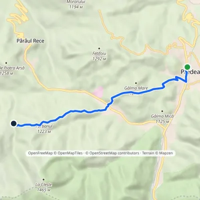 EasyOne-dayMarkedPredeal Valea FrăsinetElevation profile1 026–1 223 m7.2 kmascent 368 m≈ 2.5 h walking1.6 km from Fetifoiu
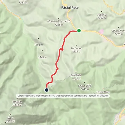 EasyOne-dayMarkedLa Șipote Poiana Pichetul RoșuElevation profile1 082–1 462 m6 kmascent 379 m≈ 2 h walking2.1 km from Fetifoiu
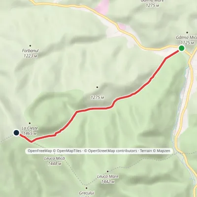 EasyOne-dayMarkedPredeal Baiului Saddlevia Valea IaduluiElevation profile998–1 356 m5 kmascent 357 m≈ 2 h walking3 km from Fetifoiu
Nearby attractions
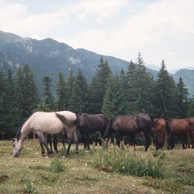 Mountain meadowPoiana DihamPârâul Recealtitude 1 350 m5.2 km from FetifoiuPoiana Diham (Romanian: Poiana Dihamului) is a wide mountain meadow in the Diham Mountains, on the northern edge of the Bucegi massif.
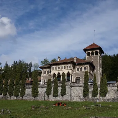 CastleCantacuzino Castle in Bușteni: a Neo-Romanian palace below the BucegiBușteni11 km from FetifoiuThe "Nabob's" palace facing the mountains Cantacuzino Castle (Castelul Cantacuzino) stands on a slope above the small town of Bușteni in the Prahova Valley, directly...
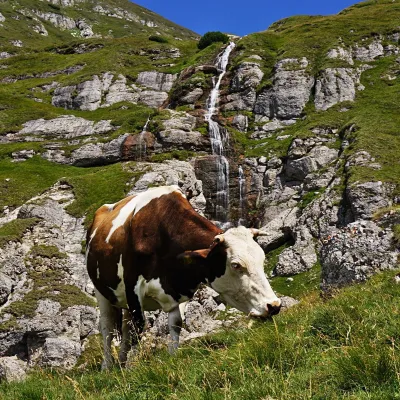 WaterfallObârșia Ialomiței Waterfall (Cascada Obârșia Ialomiței)Bușteni · Bucegi Mountains12 km from Fetifoiuover 100 m high2 035 m above sea levelObârșia Ialomiței Waterfall (Cascada Obârșia Ialomiței; on maps also Cascada Obârșiei) lies in the Bucegi Mountains, at the head of the Obârșia valley, at about 2,000 m.
Craft nearby
All craft places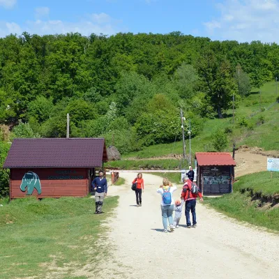 Wildlife parks & animal farmsLibearty Bear Sanctuary in Zărnești: a forest for rescued bearsVulcan15 km from FetifoiuThe AMP Libearty Bear Sanctuary lies near the town of Zărnești in Brașov County, at the edge of a forest below the Piatra Craiului massif.
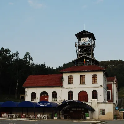 Water parks & thermal poolsSlănic Salt Mine: a 208 m deep microclimate and salt lakesSlănic44 km from FetifoiuThe Slănic Salt Mine (Salina Slănic), or the Unirea mine (Mina Unirea), is one of Romania's best-known show salt mines.
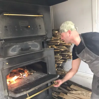 Craft producersDieter’s Bread in Câmpulung: wood-fired artisan breadCâmpulung45 km from FetifoiuCâmpulung (also called Câmpulung Muscel) is an old town in Argeș County at the foot of the Iezer-Păpușa Mountains, on the road to the Rucăr–Bran pass.
