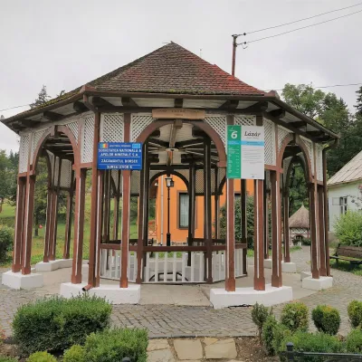
Bistricioru
Bistricioru (Rom. Vârful Bistricioru) is a 1,990 m peak in the western part of the volcanic Călimani Mountains (Eastern Carpathians), on the border of Bistrița-Năsăud and Mureș Counties. It rises above the Colibița reservoir; according to OpenStreetMap, the nearest village is Dornișoara (about 9.5 km in a straight line).
Below the summit, about 730 m away, stands Hut «Refugiu Salvamont Bistricior»: according to muntii-nostri.ro, this is a shelter at about 1,660 m altitude with a stove inside, accommodating 5–6 people; nearby is the Salvamont Bistricioru rescue hut, and about 200 m upstream there is a spring. Also marked nearby are Hut below Zurzugău and Spring below Zurzugău.
Getting there / routes
The most popular ascent is the blue triangle from Colibița Lake. According to muntii-nostri.ro, the route starts in the village of Mița at the end of the reservoir, in front of the village shop, at about 800 m altitude. The first 6.5 km is a well-maintained forest road with a gentle climb up the Colbul valley (shared with the red triangle route). Opposite some abandoned brick buildings, the trail turns right behind the ruins; from here, the ascent is steep, with roots and some difficult sections. After about 5.5 km of climbing, you reach the Salvamont hut at 1,660 m. Then another 800 m on the trail, followed by a rocky scree with a 270 m elevation gain to the intersection with the yellow stripe route from Cușma, where you turn left to the summit. The route is 12 km, about 5 hours 45 minutes and 1,225 m elevation gain — of medium difficulty.
The long yellow stripe route starts in the village of Cușma (about 650 m): from the DN17 Bistrița — Suceava road, turn in the village of Livezile towards Dorolea and Cușma (about 15 km, almost entirely asphalted). According to muntii-nostri.ro, the trail climbs from the village center on a dirt road and pasture, after about 3 km crosses the Blideriasa forest road, then continues on a tractor road through the forest — in rain it is very sticky and slippery — to the Poiana Țiganca clearing and further to the summit. In total: 34.8 km, about 15 hours and 2,297 m elevation gain — a difficult route, best split over two days.
The main Călimani ridge route, the red stripe "Piatra Fântânele — Pietrosul peak — Rețițiș saddle", also passes nearby.
Safety, season and rules
The scree below the summit and wet roots on the trail require attention, especially on descent. The summit is exposed to wind and storms; in winter, routes here are only for experienced and well-equipped hikers. Bears are common in the Romanian Carpathians: do not leave marked trails, make noise, avoid hiking at dusk, and do not keep food in your tent; near sheepfolds, shepherd dogs may attack — do not run, stop and shield yourself with your backpack (advice from Salvamont România).
In case of emergency, call the national mountain rescue dispatcher 0SALVAMONT — 0725 826 668 or 112.
Getting there from Ukraine
Border crossings
- Porubne – Siret — road and pedestrian, 24/7
- Diakivtsi – Racovăț — road and pedestrian, 24/7 No freight traffic.
- Krasnoilsk – Vicovu de Sus — road and pedestrian, 08:00–20:00 Cars up to 3.5 t and pedestrians only; not 24/7.
- Solotvyno – Sighetu Marmației — road and pedestrian, 24/7 Passenger traffic only: vehicles up to 3.5 t with up to 9 seats, pedestrians.
- Diakove – Halmeu — road, 24/7 No pedestrian crossing.
By car
Chernivtsi – Vatra Dornei ≈153 km, ≈3 h 00 min (via Krasnoilsk – Vicovu de Sus); Rakhiv – Vatra Dornei ≈204 km, ≈4 h 12 min (via Solotvyno – Sighetu Marmației); Ivano-Frankivsk – Vatra Dornei ≈271 km, ≈5 h 00 min (via Krasnoilsk – Vicovu de Sus). Times without border queues, our road routing (GraphHopper, OSM).
Checked 03.11.2026; border crossing hours and timetables change — check before you travel.
Comments
Travellers’ experience: reports, tips, questions.
No one has reported on this trail yet. Been here lately? Tell others what it is like now.
Water and shelter nearby
- Spring below Zurzugău660 m · Not verified · 1 654 m
- Hut «Refugiu Salvamont Bistricior»730 m · Not verified · 1 656 m
- Hut below Zurzugău840 m · Not verified · 1 624 m
Nearby attractions
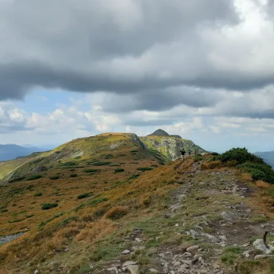 PeakPietrosul CălimanilorGura Haitiialtitude 2 100 m9.7 km from BistricioruPietrosul Călimanilor (Romanian: Vârful Pietrosul Călimanilor, Hungarian: Pietrosz-csúcs or Nagy-Köves) is the highest summit of the Călimani Mountains in the Eastern...
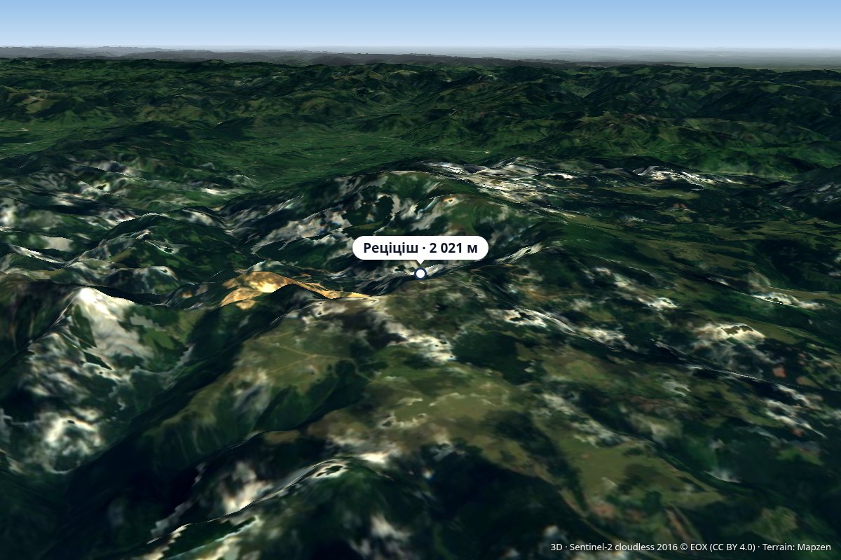 PeakRățițișaltitude 2 021 m15 km from BistricioruVârful Rățițiș) is a 2,021 m peak in the volcanic Călimani Mountains (Eastern Carpathians), on the border of Harghita and Suceava Counties.
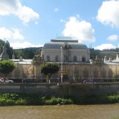 Water parks & thermal poolsVatra Dornei: carbonated baths, mofette and spa parkVatra Dornei32 km from BistricioruVatra Dornei is an old balneoclimatic spa in Romanian Bukovina, lying at about 802 m in the Dorna Depression, where the Dorna River flows into the Bistrița.