Vârciorog Waterfall (Cascada Vârciorog)
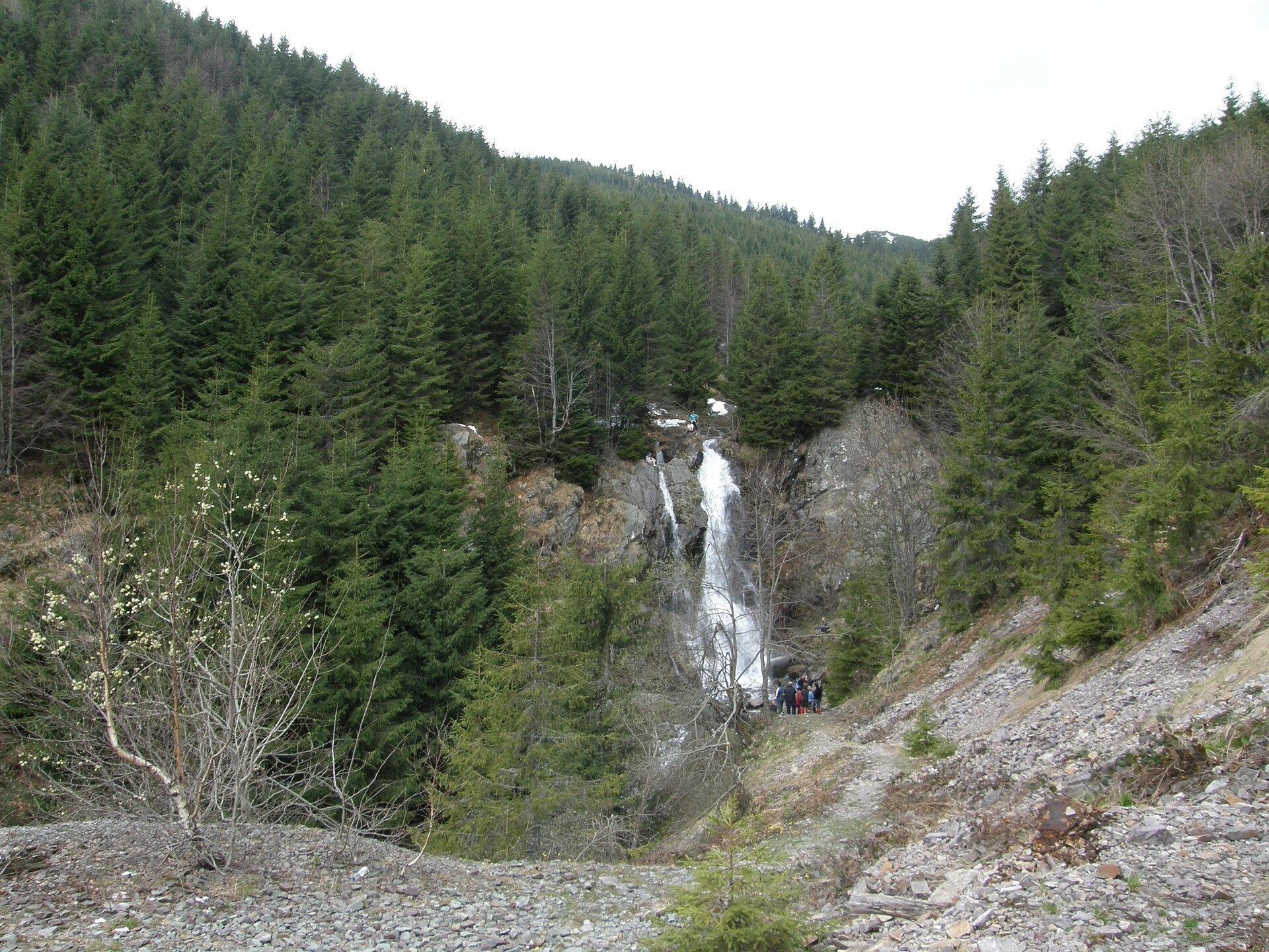
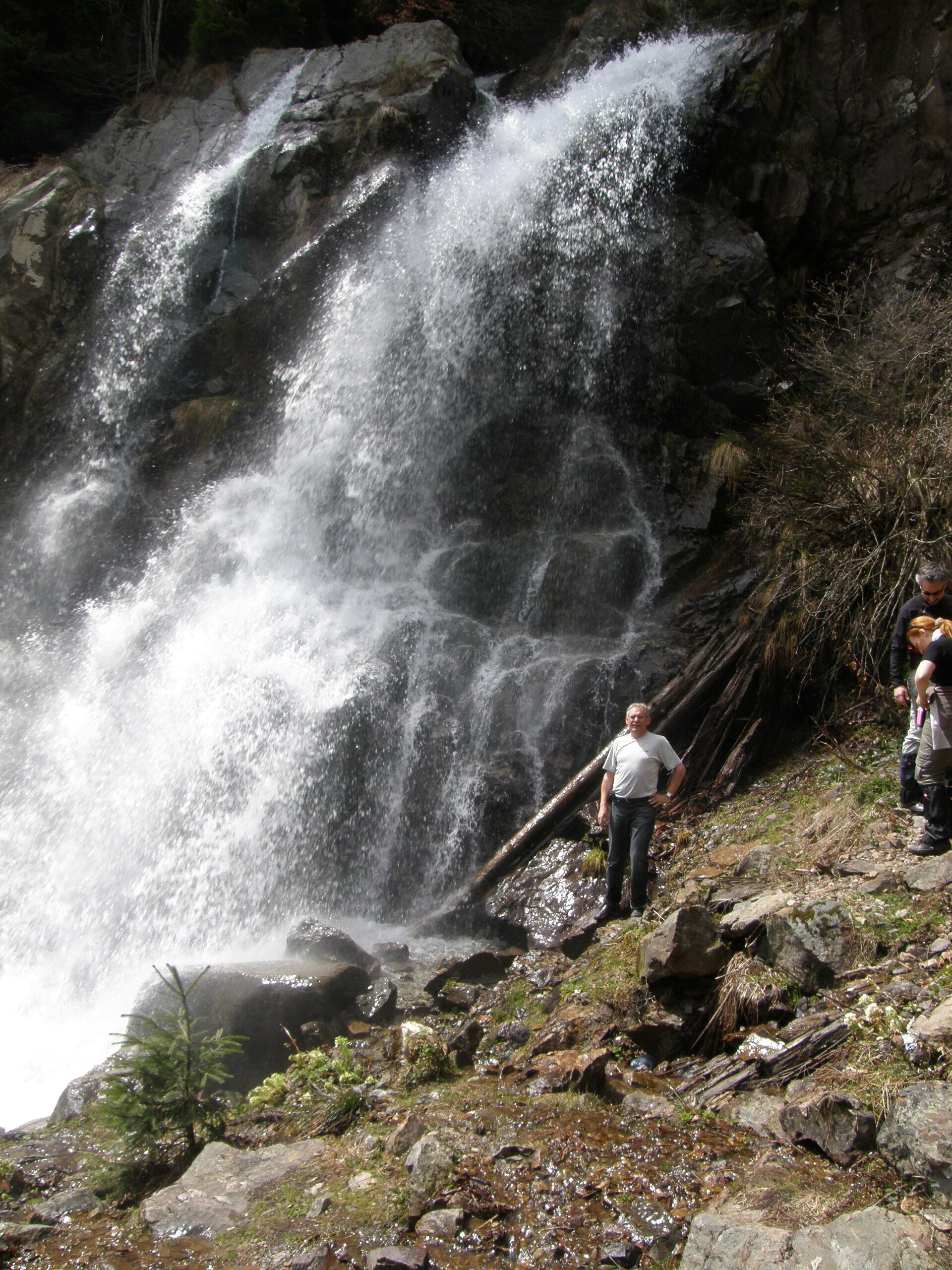
Vârciorog Waterfall (Cascada Vârciorog) is a nature reserve of geological and landscape type in the south-east of the Bihor Mountains, in Arieșeni commune in the far north-west of Alba County, near the border with Bihor County. It lies on the upper course of the Vârciorog stream, a tributary of the Arieșul Mare river, below the peak Piatra Grăitoare.
According to the Romanian Wikipedia the water falls from a height of more than 15 m. The area was given protected status by Law no. 5 of 6 March 2000; the reserve covers 5 ha.
What to see
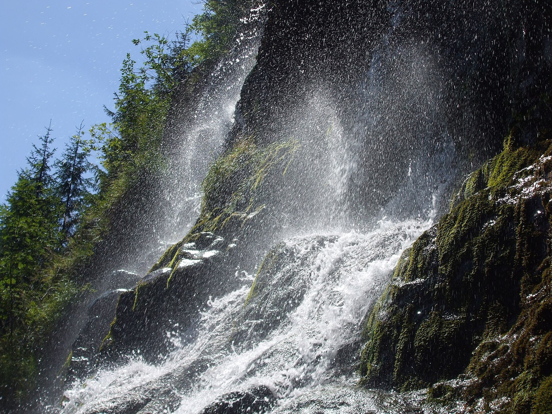
The stream leaps from a rock wall in several threads and breaks on ledges, so in spring a cloud of spray hangs at the foot. Spruce forest and scree surround it. The waterfall is seen from a distance, from the forest road that approaches it along the valley.
Arieșeni is a mountain commune with hamlets scattered over the slopes; routes to other places in the Bihor Mountains start here too, so Vârciorog is easily combined with a walk in the area.
How to get there
National road DN75 (Câmpeni – Ștei) takes you to a point 2 km from Arieșeni where a forest road turns into the Vârciorog valley. It is about 3.5 km along it to the waterfall; the route is marked with a yellow dot (Romanian Wikipedia).
The Munții Noștri guide describes the same way from the Arieșul Mare valley in the hamlet of Vanvucești: 3.3 km, 1–1.5 hours one way, about 250 m of ascent, easy.
Season and safety
The best time is May to October; there is most water during the snow melt. The stones at the foot are wet and the scree is loose — do not climb along the wall. This is a reserve: leave no litter and light no fires.
Bears live in the Romanian Carpathians: stay on the marked path, talk as you walk and leave no food or litter; near sheepfolds do not run from the shepherd dogs — stop and calmly walk around the flock. Mountain rescue (Salvamont): national dispatch 0SALVAMONT — 0725 826 668 or 112; the service's advice for hikers is at salvamontromania.ro.
Photos: Kovika, CC BY-SA 3.0, Wikimedia Commons; mihai moise, CC BY 3.0, Wikimedia Commons.
Getting there from Ukraine
Border crossings
- Porubne – Siret — road and pedestrian, 24/7
- Diakivtsi – Racovăț — road and pedestrian, 24/7 No freight traffic.
- Krasnoilsk – Vicovu de Sus — road and pedestrian, 08:00–20:00 Cars up to 3.5 t and pedestrians only; not 24/7.
- Solotvyno – Sighetu Marmației — road and pedestrian, 24/7 Passenger traffic only: vehicles up to 3.5 t with up to 9 seats, pedestrians.
- Diakove – Halmeu — road, 24/7 No pedestrian crossing.
By car
Rakhiv – Cluj-Napoca ≈219 km, ≈3 h 44 min (via Solotvyno – Sighetu Marmației); Ivano-Frankivsk – Cluj-Napoca ≈353 km, ≈6 h 04 min (via Solotvyno – Sighetu Marmației); Chernivtsi – Cluj-Napoca ≈343 km, ≈6 h 28 min (via Krasnoilsk – Vicovu de Sus). Times without border queues, our road routing (GraphHopper, OSM).
Checked 03.11.2026; border crossing hours and timetables change — check before you travel.
Location on the map
Comments
Trails nearby
All trails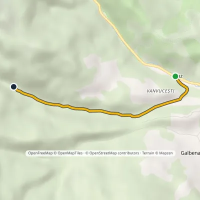 EasyOne-dayMarkedVanvucești Vârciorog WaterfallElevation profile899–1 135 m3.3 kmascent 236 m≈ 1.5 h walkingunder 1 km from Vârciorog Waterfall (Cascada Vârciorog)
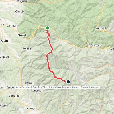 HardTwo-dayMarkedVârtop Saddle Mount GăinaElevation profile1 159–1 838 m26.7 kmascent 1 190 m≈ 9 h walkingunder 1 km from Vârciorog Waterfall (Cascada Vârciorog)
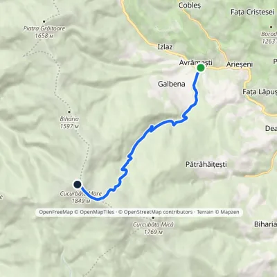 ModerateOne-dayMarkedArieșul Mare Valley Cucurbăta MareElevation profile863–1 849 m8.2 kmascent 983 m≈ 4 h walking3.2 km from Vârciorog Waterfall (Cascada Vârciorog)
Nearby attractions
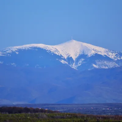 PeakCucurbăta MareBâlcaltitude 1 849 m4.4 km from Vârciorog Waterfall (Cascada Vârciorog)3 trails to the topCucurbăta Mare (Romanian: Vârful Cucurbăta Mare or Curcubăta Mare; also Bihor Peak, Romanian: Vârful Bihor; Hungarian: Nagy-Bihar) is the highest summit of the Bihor...
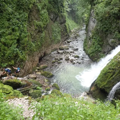 WaterfallEvantai Waterfall (Cascada Evantai)Boga8.3 km from Vârciorog Waterfall (Cascada Vârciorog)Evantai Waterfall (Cascada Evantai, «the Fan») lies in the Galbena Gorge (Cheile Galbenei) in the Bihor Mountains, inside Apuseni Natural Park in Bihor County.
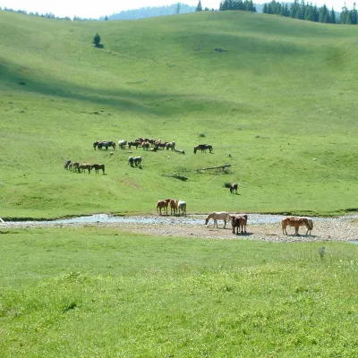 Mountain meadowPoiana PonorBogaaltitude 1 085 m10 km from Vârciorog Waterfall (Cascada Vârciorog)Poiana Ponor (Hungarian: Ponor-rét) is a closed karst depression on the Padiș plateau in the Bihor Mountains (Apuseni), at about 1,085 m.
