Piule
Piule (Romanian Vârful Piule) is the highest summit of the Piule-Iorgovanu Mountains, at 2,081 m. In hiking literature the massif is usually called Retezatul Mic, the «Little Retezat»: it lies south of the Retezat, continues its southern ridge westwards and links it with the Godeanu Mountains. The peak is in Hunedoara County; the nearest village is Câmpu lui Neag in the West Jiu valley, about 10 km away as the crow flies.
According to Romanian Wikipedia, Piule is only one metre higher than neighbouring Drăgșanu (2,080 m), while Piatra Iorgovanului (2,014 m) comes third. The massif takes its name from these two main summits.
How to get there / routes
The Retezat National Park administration includes Piule among its recommended routes (no. 13): a loop Cheile Buții – Buta hut – Piule – Pleșa – Cheile Buții. From the tourist complex in the Cheile Buții gorge, a path marked with a blue stripe and red cross climbs through forest and clearings to the Buta hut, from where a yellow stripe crosses the Buta Mică stream and continues below the Gurganului cliffs, over scree and through dwarf pine to the Iepii (Scorota) saddle and the summit. The ridge then runs to Pleșa peak (1,840 m) over steep sections and narrow ledges, and the descent leads through spruce and then beech forest to the Dâlma Mare hermitage and the DN66A road.
The park estimates the loop at 8–9 hours with about 1,900 m of ascent, medium difficulty. Water is available in the Buta Mică stream, at the Buta hut and in the forest below Pleșa. Cheile Buții is reached from the DN66A by an access road near Gura Butei.
What you see from the summit
The park's route description promises «outstanding panoramas» from the ridge beyond Piule over the Oslea ridge and the West Jiu valley. By position, the high granite ridges of the Retezat should be visible to the north and the Godeanu massif to the west; the sources give nothing more specific.
Nature and history
What sets this massif apart from the Retezat and Godeanu is its geology: thick Jurassic limestones dip at an angle, so karst is well developed – limestone pavements, dolines, gorges, dry valleys, caves and shafts. According to Romanian Wikipedia, most of the water sinks underground and flows through karst conduits into the Cerna basin, emerging at the Izbucul Cernei spring after about 16 km underground. That is why most valleys here are dry for much of the year.
Quaternary glaciers covered these mountains only modestly – just the heads of the Buta, Soarbele, Paltina and Scorota valleys. Broadleaf forest reaches about 1,200 m and spruce about 1,700 m; above that come subalpine meadows with dwarf pine and juniper.
Safety, season and rules
The route can be walked all year, but in winter the ridge is accessible only with special equipment, and the waymarks disappear under snow. The park warns that limestone becomes slippery after rain, so take particular care on the narrow ledges and steep slopes. In summer start early and leave the ridge at the first sign of a thunderstorm. Salvamont advises not to hike alone and to tell someone your route.
If your route crosses Retezat National Park, its rules apply: a ticket costs 10 lei and is valid for 7 days, walking is allowed only on marked trails, open fires are banned and dogs must be on a lead. Check the park boundaries and current conditions on the administration's website.
Bears are common in the Retezatul Mic. Stay on the marked paths, talk as you walk so that an animal hears you in advance, do not hike in the evening or at night and do not keep food in your tent. Sheepdogs near sheepfolds may rush at people – do not run, stop and shield yourself with your rucksack. In an emergency call the national dispatch 0SALVAMONT – 0725 826 668 or 112; advice on animal encounters is on the Salvamont România website.
Getting there from Ukraine
Border crossings
- Porubne – Siret — road and pedestrian, 24/7
- Diakivtsi – Racovăț — road and pedestrian, 24/7 No freight traffic.
- Krasnoilsk – Vicovu de Sus — road and pedestrian, 08:00–20:00 Cars up to 3.5 t and pedestrians only; not 24/7.
- Solotvyno – Sighetu Marmației — road and pedestrian, 24/7 Passenger traffic only: vehicles up to 3.5 t with up to 9 seats, pedestrians.
- Diakove – Halmeu — road, 24/7 No pedestrian crossing.
By car
Rakhiv – Petroșani ≈450 km, ≈6 h 36 min (via Solotvyno – Sighetu Marmației); Ivano-Frankivsk – Petroșani ≈584 km, ≈8 h 55 min (via Solotvyno – Sighetu Marmației); Chernivtsi – Petroșani ≈539 km, ≈9 h 19 min (via Krasnoilsk – Vicovu de Sus). Times without border queues, our road routing (GraphHopper, OSM).
Checked 03.11.2026; border crossing hours and timetables change — check before you travel.
Water and shelter nearby
- Spring below Piule2 km · Not verified · 1 379 m
- Salvamont Buta Hut2 km · Not verified · 1 620 m
- Drinking water below Piule2.1 km · Not verified · 1 619 m
- Buta Hut2.1 km · Standing · 1 584 m
Comments
Nearby attractions
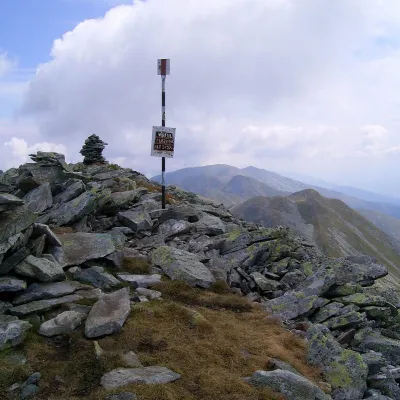 PeakCusturaaltitude 2 457 m5.5 km from PiuleCustura (Romanian Vârful Custura) is a 2,457 m summit in the Retezat Mountains of the Southern Carpathians – according to Romanian Wikipedia, the fifth-highest in the...
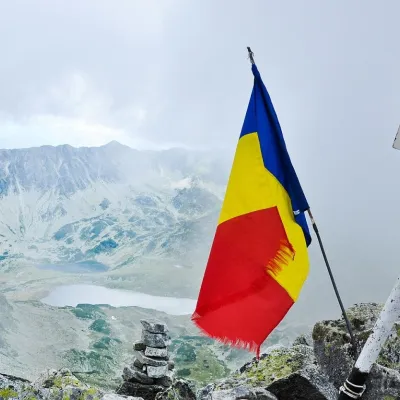 PeakPeleagaRâușoraltitude 2 509 m7.2 km from PiulePeleaga (Romanian: Vârful Peleaga, Hungarian: Pelága-csúcs) is the highest summit of the Retezat Mountains in the Southern Carpathians, 2,509 m above sea level.
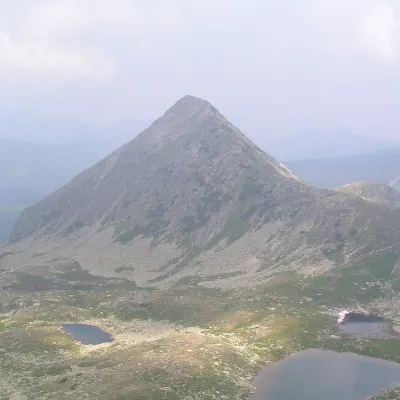 PeakPăpușa (Retezat)Râușoraltitude 2 508 m7.5 km from PiulePăpușa (Romanian: Vârful Păpușa, Hungarian: Papusa-csúcs) is a summit on the main ridge of the Retezat Mountains in the Southern Carpathians, in Hunedoara County.
