Godeanu Peak
Godeanu Peak (Romanian Vârful Godeanu) is a 2,229 m summit on the main ridge of the Godeanu Mountains in the western Southern Carpathians of Romania. The range shares its name with the peak, but its highest point is Gugu (2,291 m). According to Romanian Wikipedia, other summits above 2,000 m include Moraru (2,284 m), Scărișoara (2,245 m), Galbena (2,191 m), Borăscu Mare (2,158 m) and Gârdomanu (2,077 m). The nearest village is Cerna-Sat in the Cerna valley, almost 12 km away as the crow flies; there are very few settlements in these mountains.
There is no Wikipedia article on the peak itself, so what follows is mostly about the range on whose ridge it stands.
How to get there / routes
Two waymarked long-distance routes pass about 100 m from the summit: a regional path marked with a red stripe from the Curmătura Olanelor saddle over Godeanu Peak to the Paltina saddle, and the European long-distance path E8, which in Romania follows the same ridge. According to Romanian Wikipedia, the typical way to visit the Godeanu is a multi-day traverse of the main ridge. Plan campsites and water in advance with a map: there are no tourist huts in the range, and access is relatively difficult because the mountains lie at the very centre of the upland between the Jiu, Timiș and Cerna. The sources give no walking times or distances.
What you see from the summit
The sources do not describe the panorama. By position, the main ridge should look east to the Piule-Iorgovanu massif (Retezatul Mic) with the Retezat behind it, north-west across the Prislop-Corhale ridge to the Țarcu Mountains, and south into the deep Cerna valley.
Nature and history
The Godeanu Mountains cover about 330 km². The main ridge runs west–east and forms the divide between the Cerna and Râul Mare basins; the rivers of the range drain into four basins – the Cerna, the Timiș (via the Râul Rece), the West Jiu and the Râul Mare. The massif consists mainly of crystalline schists. Its most striking feature is the extensive planation surfaces: at 2,000–2,200 m the ridges are almost flat – the so-called Borăscu platform.
Quaternary glaciers left cirques, moraines and even hanging cirques along the edges of the platform; the longest glaciers descended the Cerna (4 km) and Mitului (3 km) valleys. There are few glacial lakes, the largest being Godeanu and Scărișoara. The ridges are covered by alpine pastures where sheep have been grazed for centuries, so there are many sheepfolds, although shepherding has been declining.
Safety, season and rules
According to Romanian Wikipedia, the high Godeanu ridges have heavy, long-lasting snow and strong winds, and on steep slopes avalanches sometimes cut down into the forest belt. The summit is therefore mainly a summer goal for experienced hikers; in winter the waymarks disappear under snow. Because of the remoteness, help arrives slowly and there may be no mobile signal. Salvamont advises not to hike alone, to tell family your route, to carry a map, compass, torch and spare battery, and to leave the ridge in a thunderstorm.
Bears are common in the Godeanu Mountains. Stay on the marked paths, talk as you walk so that an animal hears you in advance, do not hike in the evening or at night and do not keep food in your tent. Sheepdogs near sheepfolds may rush at people – do not run, stop and shield yourself with your rucksack. In an emergency call the national dispatch 0SALVAMONT – 0725 826 668 or 112; advice on animal encounters is on the Salvamont România website.
Getting there from Ukraine
Border crossings
- Porubne – Siret — road and pedestrian, 24/7
- Diakivtsi – Racovăț — road and pedestrian, 24/7 No freight traffic.
- Krasnoilsk – Vicovu de Sus — road and pedestrian, 08:00–20:00 Cars up to 3.5 t and pedestrians only; not 24/7.
- Solotvyno – Sighetu Marmației — road and pedestrian, 24/7 Passenger traffic only: vehicles up to 3.5 t with up to 9 seats, pedestrians.
- Diakove – Halmeu — road, 24/7 No pedestrian crossing.
By car
Rakhiv – Petroșani ≈450 km, ≈6 h 36 min (via Solotvyno – Sighetu Marmației); Ivano-Frankivsk – Petroșani ≈584 km, ≈8 h 55 min (via Solotvyno – Sighetu Marmației); Chernivtsi – Petroșani ≈539 km, ≈9 h 19 min (via Krasnoilsk – Vicovu de Sus). Times without border queues, our road routing (GraphHopper, OSM).
Checked 03.11.2026; border crossing hours and timetables change — check before you travel.
Comments
Nearby attractions
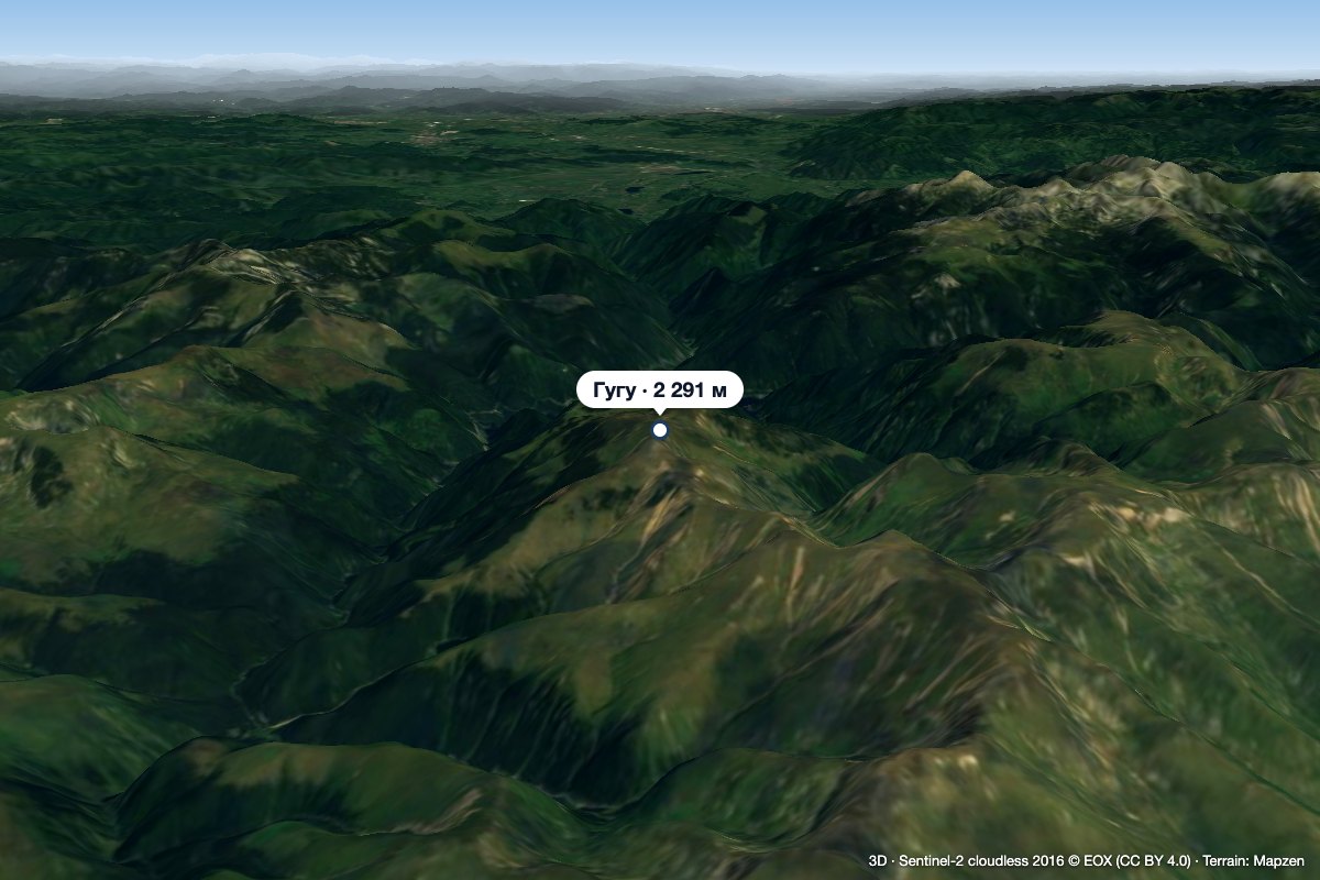 PeakGugu Peakaltitude 2 291 m5.5 km from Godeanu PeakGugu Peak (Romanian Vârful Gugu, also Muntele Gugu) is the highest summit of the Godeanu Mountains, at 2,291 m, in the western part of the Southern Carpathians in...
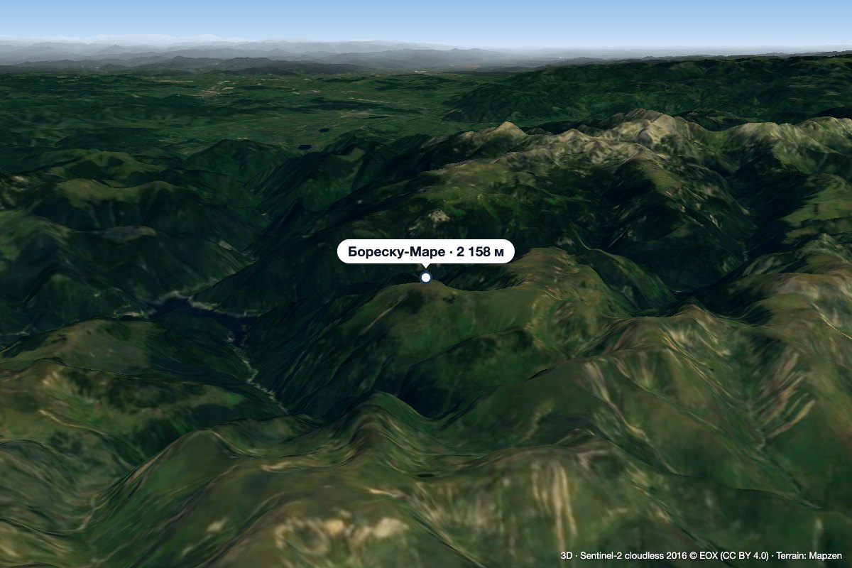 PeakBorăscu Marealtitude 2 158 m10 km from Godeanu PeakBorăscu Mare (Romanian Vârful Borăscu Mare), often simply called Borăscu, is a 2,158 m summit in the northern part of the Godeanu Mountains in the Southern Carpathians...
 PeakMuntele MicPoiana Măruluialtitude 1 802 m21 km from Godeanu PeakMuntele Mic (Romanian, “the Little Mountain”; Hungarian Kis-havas) is a 1,802 m mountain (1,807 m according to OSM and a Wikimedia Commons caption) in Caraș-Severin...
