Giumalău
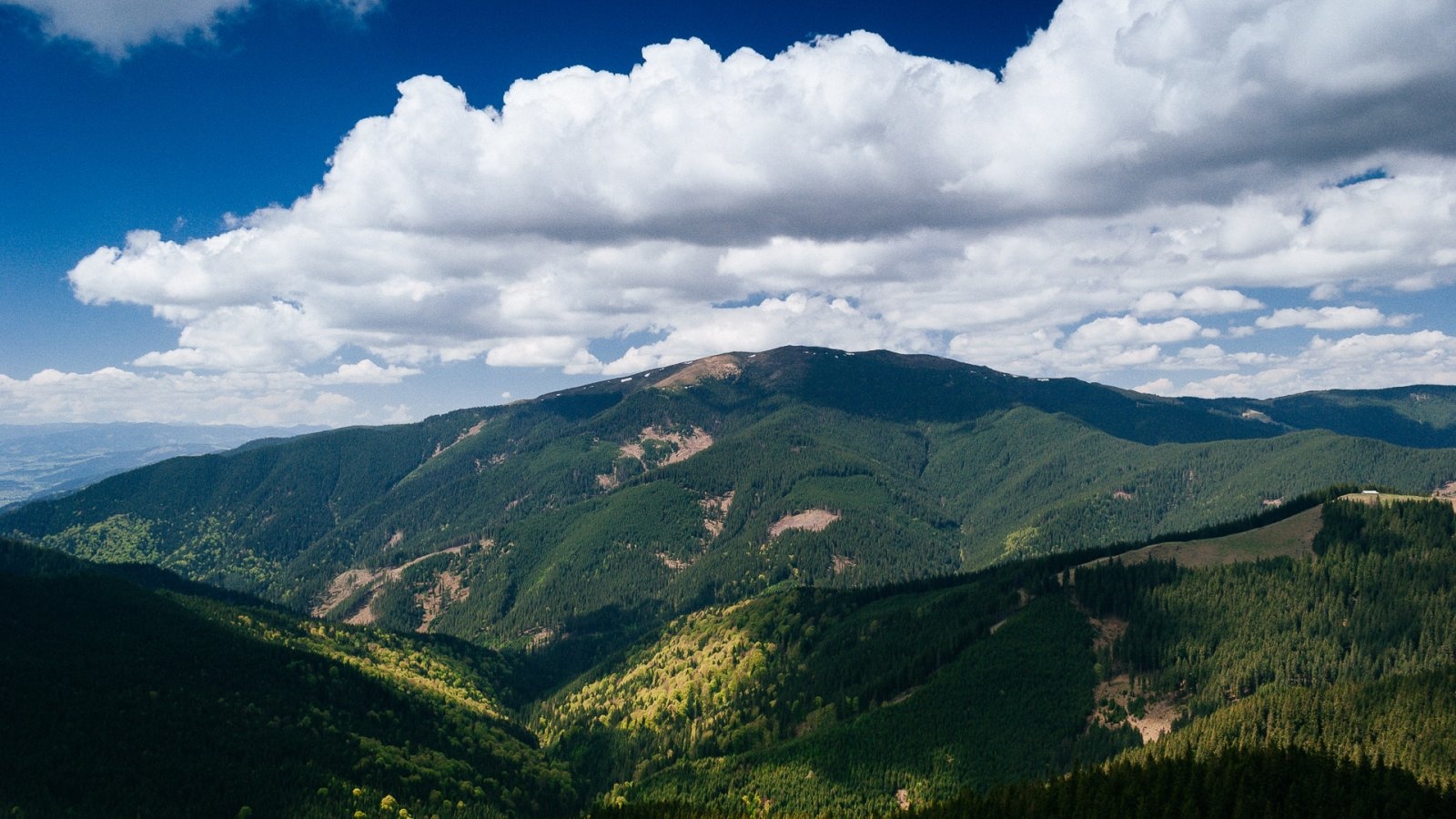
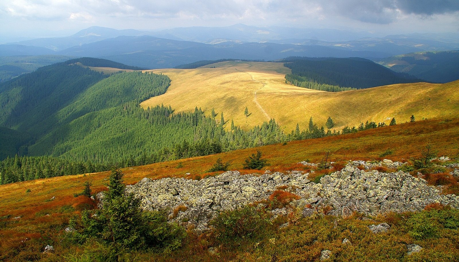
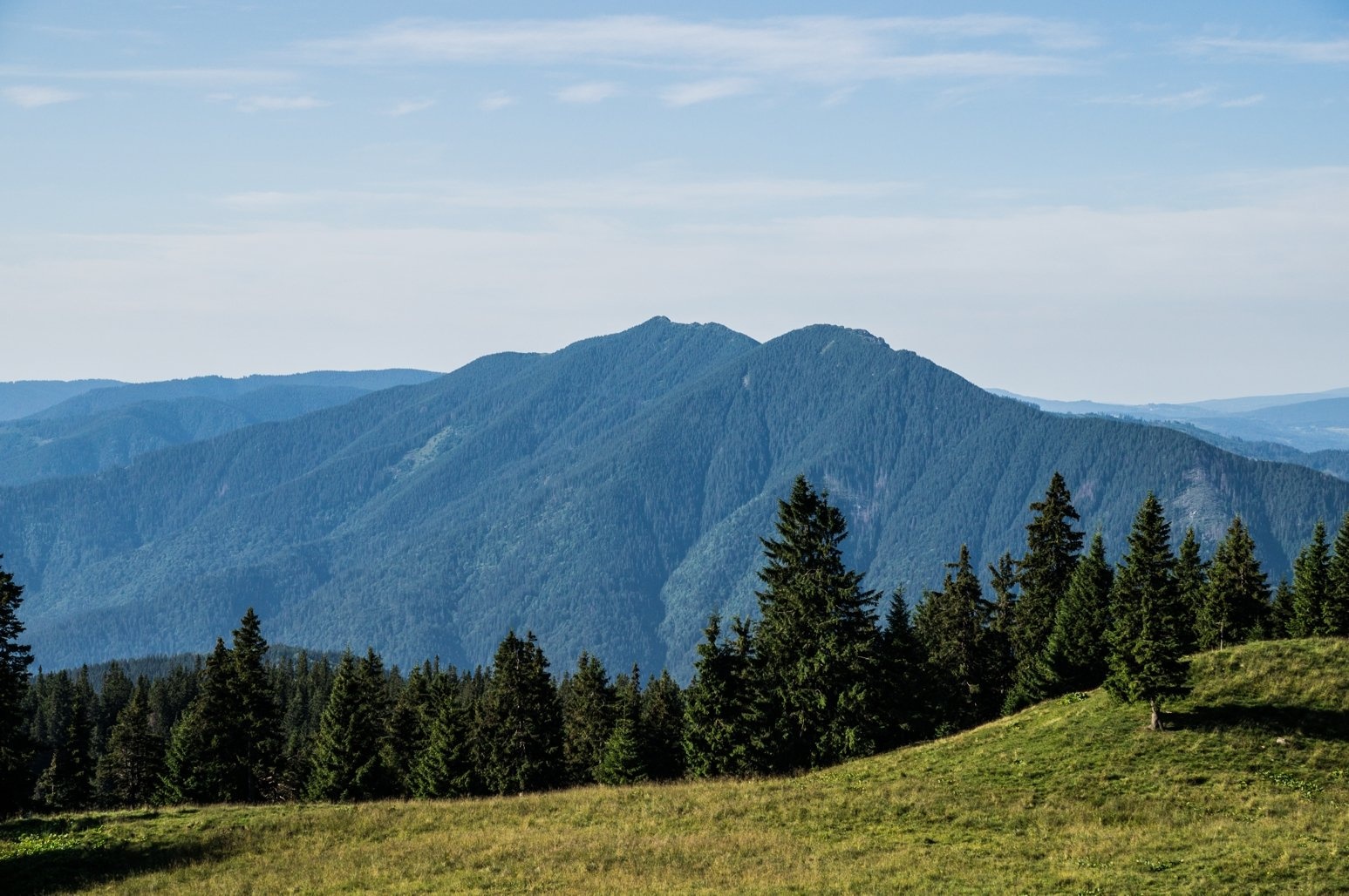
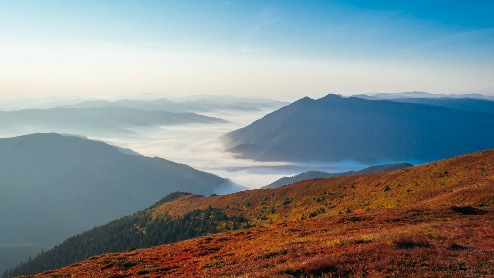
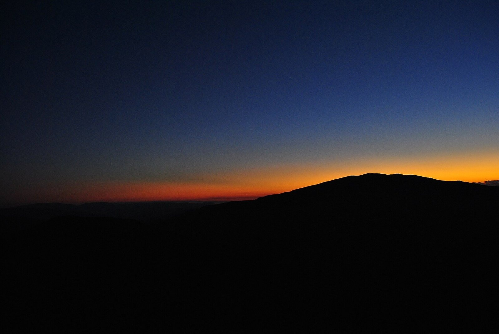
Giumalău (Romanian Vârful Giumalău) is the highest summit of the Rarău–Giumalău massif in the Eastern Carpathians, at 1,857 m. The massif lies in the Romanian part of Bukovina, in Suceava County, between the Moldova and Bistrița valleys, near the towns of Câmpulung Moldovenesc and Vatra Dornei. The Giumalău Mountains form its western part; the neighbouring limestone Rarău (1,651 m) is considerably lower.
According to Romanian Wikipedia, Giumalău is far older than Rarău and built of crystalline schists. Its central ridge runs north-west to south-east above 1,400 m, and from the summit flat side ridges run north-west and south, with terraces at 1,000–1,200 and 1,350–1,450 m that drop steeply to the Bistrița and Putna valleys. The nearest villages are Chiril (about 7 km), Rusca (about 8 km) and Pojorâta (about 10 km).
How to get there / routes
The red stripe crosses the summit – the main ridge trail of the Giumalău–Rarău–Tarnița mountains, about 58 km long from the Mestecăniș Pass to the Stânișoara Mountains; muntii-nostri.ro suggests 3–4 days for it. The European long-distance path E8 follows the same line. From the Mestecăniș Pass the path passes relay masts, Muntele Lat with two wooden sketes and the Fierului glade, and reaches the Plaiul Giumalăului watershed, where routes from Vatra Dornei join. After the Ciungi glade, where the yellow stripe joins, a steep track climbs to the summit with its large cross. There is a separate winter variant marked in orange.
From the top the red stripe descends through dwarf pine to the forest and on to the Transrarău road (DJ175B) towards Rarău. The summit is also reached by the blue dot from the Zugreni gorge on the Bistrița to Valea Putnei station. In bad weather, says muntii-nostri.ro, you can turn off to the Giumalău mountain hut below the summit.
What you see from the summit
Muntii-nostri.ro calls the Giumalău panorama one of the finest in the Carpathians. You see the Bukovina Obcinas and the outline of Rarău; to the south and south-east the jagged Bogolin–Pietrosu Bistriței ridge, then the Bistrița Mountains, the Stânișoara Mountains and, in the far distance, Ceahlău. To the west rise the Călimani, to the north-west the Suhard massif, flanked by the Rodna and Maramureș Mountains.
Nature and history
The upper part of the mountain is subalpine meadow with bilberry and dwarf pine. On the north-western slope, towards the head of the Roșu (Putna Mare) stream, lies the 309.5-hectare “Codrul secular Giumalău” forest reserve, declared in 2000, which protects acidophilous, beech and mixed forests, rocky slopes, screes, alpine scrub and meadows. According to English Wikipedia, the nearby Rarău weather station records an average of −7 °C in January and 11.4 °C in July, with snow cover on 163 days a year.
Safety, season and rules
The summit is not in a national park; the forest reserve on the slope is protected by law, so stay on the paths there. The ridge route is long and the open meadows below the summit give no shelter from thunderstorms. Salvamont advises checking the forecast for the next 24 hours, not going alone, telling family your route, carrying a map, compass, torch, enough water and a charged phone, and leaving the open ridge at once if a thunderstorm comes. In winter snow hides the waymarks, so keep to the orange winter variant.
Bears are common in these mountains. Stay on the marked paths, call out as you walk, do not hike in the evening or at night, do not keep food in your tent and store it away from your camp. Sheepdogs near sheepfolds may rush at hikers – do not run, stop and shield yourself with your rucksack. In an emergency call the national dispatch 0SALVAMONT – 0725 826 668 or 112; advice on animal encounters is on the Salvamont România website.
Photos: Mihai Burlacu, CC BY-SA 3.0; Stanislav Dusík, CC BY-SA 4.0; Haller1962, CC BY-SA 4.0; Mihai Burlacu, CC BY-SA 3.0; Mihai Burlacu, CC BY-SA 3.0 — Wikimedia Commons.
Getting there from Ukraine
Border crossings
- Porubne – Siret — road and pedestrian, 24/7
- Diakivtsi – Racovăț — road and pedestrian, 24/7 No freight traffic.
- Krasnoilsk – Vicovu de Sus — road and pedestrian, 08:00–20:00 Cars up to 3.5 t and pedestrians only; not 24/7.
- Solotvyno – Sighetu Marmației — road and pedestrian, 24/7 Passenger traffic only: vehicles up to 3.5 t with up to 9 seats, pedestrians.
- Diakove – Halmeu — road, 24/7 No pedestrian crossing.
By car
Chernivtsi – Câmpulung Moldovenesc ≈121 km, ≈2 h 12 min (via Krasnoilsk – Vicovu de Sus); Ivano-Frankivsk – Câmpulung Moldovenesc ≈239 km, ≈4 h 12 min (via Krasnoilsk – Vicovu de Sus); Rakhiv – Câmpulung Moldovenesc ≈217 km, ≈4 h 35 min (via Solotvyno – Sighetu Marmației). Times without border queues, our road routing (GraphHopper, OSM).
Checked 03.11.2026; border crossing hours and timetables change — check before you travel.
Location on the map
Water and shelter nearby
- Spring below Giumalău (east slope)520 m · Not verified · 1 629 m
- Spring below Giumalău (south-west slope)820 m · Not verified · 1 601 m
- Giumalău Hut1.3 km · Standing · 1 554 m
- Spring below Bîtca Neagră (north-west slope)2.5 km · Not verified · 923 m
Wildlife nearby
AllComments
Nearby attractions
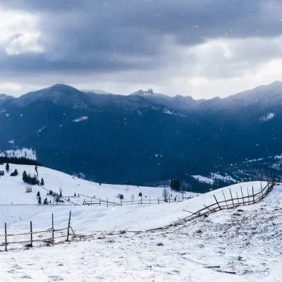 PeakRarăuCâmpulung Moldovenescaltitude 1 651 m7.1 km from GiumalăuRarău (Romanian: Vârful Rarău) is the highest summit of the massif of the same name in the Eastern Carpathians, 1,651 m above sea level.
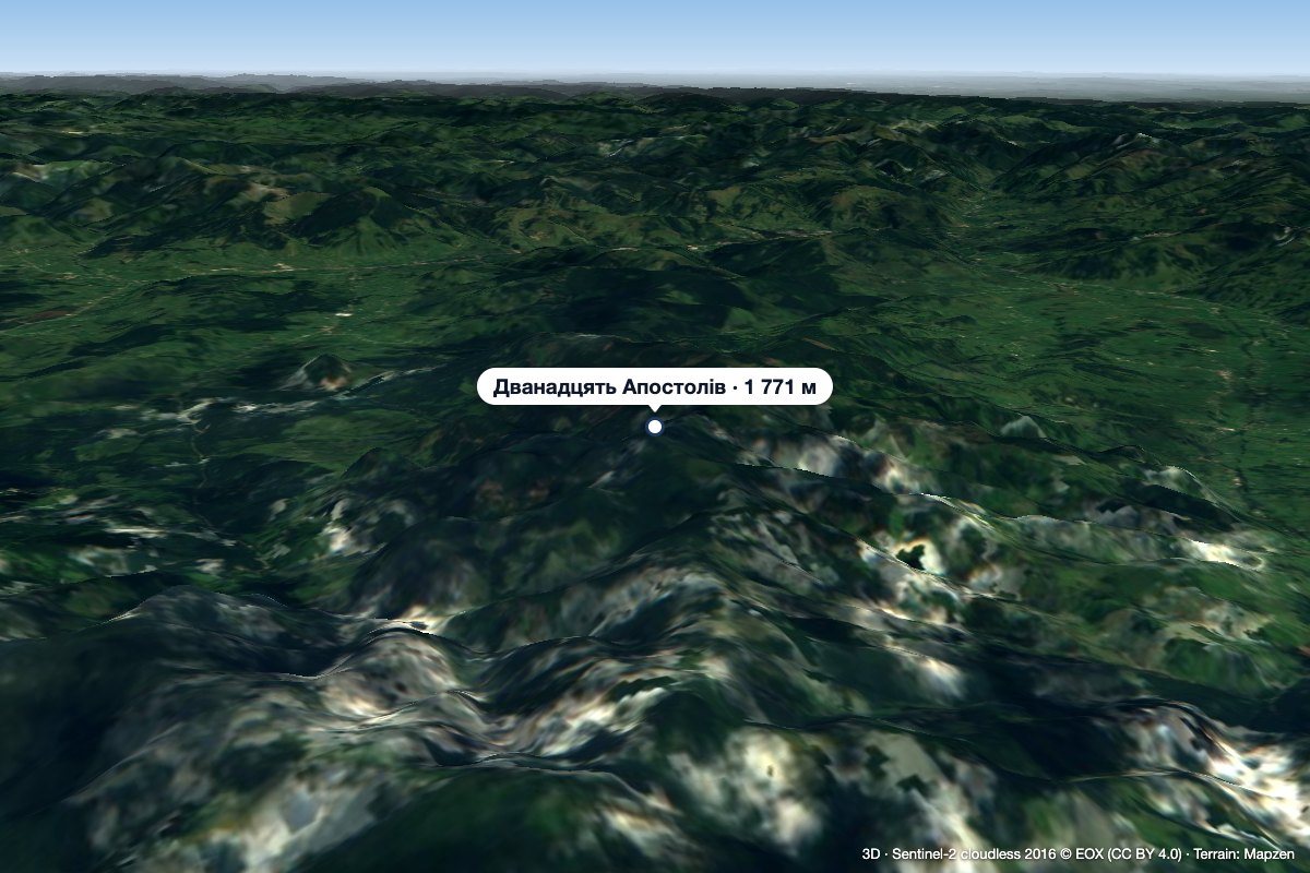 Peak12 ApostoliGura Haitiialtitude 1 771 m31 km from Giumalău12 Apostoli (Romanian Vârful 12 Apostoli, Doisprezece Apostoli – “the Twelve Apostles”) is a 1,771 m summit in the northern part of the Călimani Mountains, in Suceava...
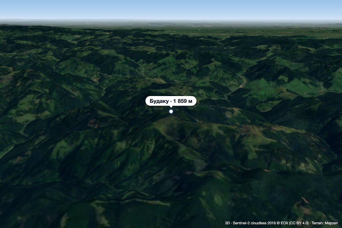 PeakBudacualtitude 1 859 m38 km from GiumalăuBudacu (Romanian Vârful Budacu, also Budacul; Hungarian Nagy-Budak) is the highest summit of the Bistrița Mountains in the Romanian Eastern Carpathians, at 1,859 m.
