Gărgălău
Gărgălău (Romanian Vârful Gărgălău, also Gârgalău) is a 2,159 m summit in the eastern part of the Rodna Mountains, on the main ridge above the Borșa resort. It stands on the border of Bistrița-Năsăud and Maramureș counties and lies in the Rodna Mountains National Park. According to Romanian Wikipedia people climb it for a panorama not only of the Rodna but also of Maramureș to the north and, beyond it, the southern part of Ukraine.
The Piciorul Oncului spur runs north from Gărgălău, and below its western slope lies a glacial cirque with Lake Știol, the source of the Bistrița river. The nearest villages are Valea Vinului (about 9 km) and Șesuri (about 12 km); the most convenient start is the Borșa ski complex.
How to get there / routes
Romanian Wikipedia describes the usual route: from the chairlift in Borșa along the blue stripe to the Știol glade and Lake Știol, on to the Gărgălău saddle, and from there along the red stripe to the summit, returning the same way. It is rated medium to difficult, about 4 hours there and back. According to muntii-nostri.ro the blue stripe from the complex to the saddle is about 7.7 km with more than 1,000 m of ascent (3–4 hours if you walk from the bottom of the lift). At the upper lift station (about 1,500 m) there is a Salvamont building and signposts to the Cailor waterfall and Lake Știol.
Higher up the path crosses the Știol glade, where horses, cattle and sheep graze in summer, follows a corridor through dwarf pine and then contours to the Gărgălău saddle (1,907 m), marked by a wooden post. Nearby, at La Izvoare, a timber emergency shelter for about 12 people was built in 2019, and camping is allowed there.
The red stripe of the main Rodna ridge, from the Rotunda Pass to the Șetref Pass, also crosses the summit – more than 54 km, the second-longest ridge route in the Carpathians after the Făgăraș, for 2–3 days. The European long-distance path E8 follows it.
What you see from the summit
Besides the Rodna and Maramureș mentioned by Wikipedia, muntii-nostri.ro says the ridge offers views of glacial lakes in the cirques, sheepfolds on the spurs and the Suhard, Călimani and Bârgău mountains. Below the summit lies the Știol cirque with its lake.
Nature and history
Lake Știol (about 1,800 m) is also called Lacul Izvorul Bistriței Aurii because the Bistrița flows out of it; the cirque, says muntii-nostri.ro, is a trace of ancient glaciers. To the right of the route from Borșa lies the Piatra Rea reserve with the Cailor waterfall. Marmots and chamois can be seen on the ridge. The Rodna Mountains National Park (IUCN category II, 46,399 ha) was set up in 1990; 3,300 ha of it had already been declared a UNESCO biosphere reserve in 1979.
Safety, season and rules
In winter, says muntii-nostri.ro, it is easy to lose your way between Lake Știol and the saddle, and on the ridge you then follow the exact crest line. Salvamont advises checking the forecast for the next 24 hours, not going alone, telling family your route, carrying a map, compass, torch, enough water and a charged phone, and leaving the open ridge at once if a thunderstorm comes. Check the national park visiting rules (fee, camping, fires) on the park administration website before you go.
Bears are common in these mountains. Stay on the marked paths, call out as you walk, do not hike in the evening or at night, do not keep food in your tent and store it away from your camp. Sheepdogs near sheepfolds may rush at hikers – do not run, stop and shield yourself with your rucksack. In an emergency call the national dispatch 0SALVAMONT – 0725 826 668 or 112; advice on animal encounters is on the Salvamont România website.
Getting there from Ukraine
Border crossings
- Porubne – Siret — road and pedestrian, 24/7
- Diakivtsi – Racovăț — road and pedestrian, 24/7 No freight traffic.
- Krasnoilsk – Vicovu de Sus — road and pedestrian, 08:00–20:00 Cars up to 3.5 t and pedestrians only; not 24/7.
- Solotvyno – Sighetu Marmației — road and pedestrian, 24/7 Passenger traffic only: vehicles up to 3.5 t with up to 9 seats, pedestrians.
- Diakove – Halmeu — road, 24/7 No pedestrian crossing.
By car
Rakhiv – Borșa ≈116 km, ≈2 h 24 min (via Solotvyno – Sighetu Marmației); Chernivtsi – Borșa ≈179 km, ≈3 h 50 min (via Krasnoilsk – Vicovu de Sus); Uzhhorod – Borșa ≈241 km, ≈4 h 27 min (via Solotvyno – Sighetu Marmației). Times without border queues, our road routing (GraphHopper, OSM).
Checked 03.11.2026; border crossing hours and timetables change — check before you travel.
Water and shelter nearby
- Spring below La Cepi1 km · Not verified · 2 006 m
- Spring below Musceta (south-east slope)1.1 km · Not verified · 1 712 m
- Gărgălău Hut1.5 km · Not verified · 1 850 m
- Spring below Musceta (south-west slope), 1 872 m1.7 km · Has water · 1 872 m
- Spring below Musceta (south-west slope), 1 870 m1.9 km · Not verified · 1 870 m
- Spring below Musceta (north-east slope)2 km · Not verified · 1 619 m
- Spring below Muntele Cimpoiașului2.4 km · Not verified · 1 860 m
Wildlife nearby
AllComments
Nearby attractions
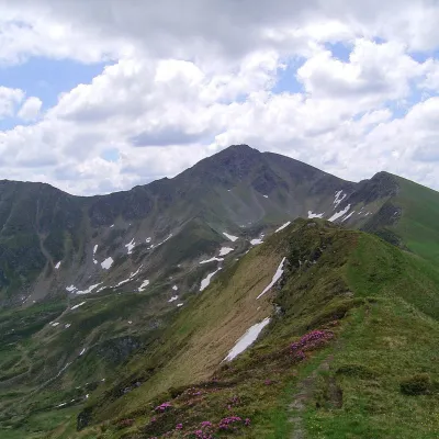 PeakIneu (Rodna Mountains)Valea Marealtitude 2 279 m6.8 km from GărgălăuIneu (Romanian Vârful Ineu, also Inău) is a 2,279 m summit in the Rodna Mountains, the second highest after Pietrosul (2,303 m).
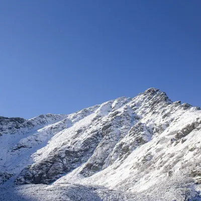 PeakPietrosul RodneiMoiseialtitude 2 303 m14 km from GărgălăuPietrosul Rodnei (Romanian Vârful Pietrosul Rodnei, also Pietrosu) is a 2,303 m summit, the highest point of the Rodna Mountains and of the entire Eastern Carpathian...
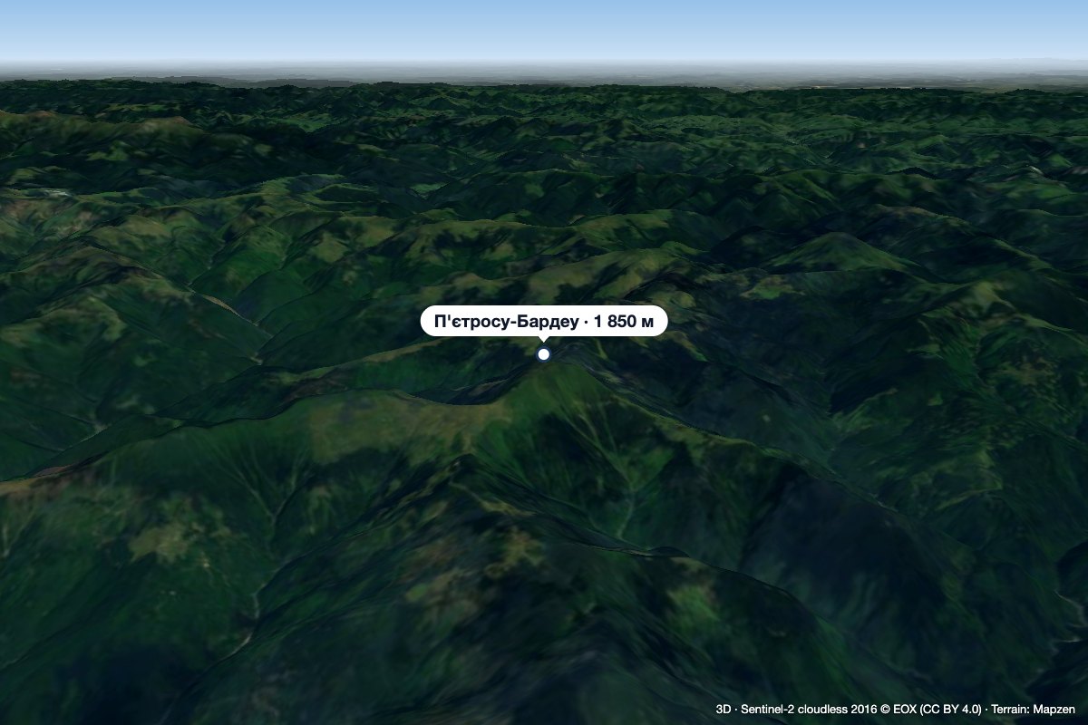 PeakPietrosu Bardăualtitude 1 850 m · Marmarosh range33 km from GărgălăuPietrosu Bardău (Romanian Vârful Pietrosu Bardău, also Pietrosul Bardăului) is a 1,850 m summit in the Romanian part of the Maramureș Mountains, in the north of...
