Găina
Găina (Romanian Vârful Găina, Muntele Găina) is a 1,486 m summit, the highest point of the massif of the same name in the central Apuseni Mountains (Western Romanian Carpathians). The massif lies in the Țara Moților region near the commune of Avram Iancu, on the border of Alba and Hunedoara counties. The nearest villages are Giurgești and Rusești (about 3.5–4 km as the crow flies), Căsoaia and Bulzeștii de Sus.
The mountain is famous far beyond Romania not for its height but for a folk festival: every summer it hosts the Maidens' Fair (Târgul de fete de pe Muntele Găina), one of the best-known traditions of the Moți.
How to get there / routes
On the OSM map a short spur marked with a red circle («Deviație spre Vârful Găina») leads to the summit from a nearby waymarked path. The closest villages are a few kilometres away; according to Romanian Wikipedia, the massif lies near the commune of Avram Iancu in Alba County. The sources give no walking times or distances, so plan your route from your chosen village with a detailed map. On fair days many people gather on the mountain.
What you see from the summit
The sources do not describe the panorama. By position, the Bihor massif with the highest Apuseni summit, Cucurbăta Mare, should be visible to the north, surrounded by the forested ridges and scattered hamlets of Țara Moților.
Nature and history
According to Romanian Wikipedia, the fair on Mount Găina was first recorded in 1816. It is held on the Sunday nearest to St Elijah's day (traditionally 20 July); in the past it fell on the first Sunday after the feast of Saints Peter and Paul in the old-style calendar, and with the switch to the Gregorian calendar it moved closer to St Elijah's day. The festival is organised by delegates from the villages of Vidra and Bulzești. Families with daughters of marrying age arrive with tents and display the dowry in carved chests that take years to prepare; farm tools are sold there too. Once a bride is chosen, the couple exchange headscarves, followed by a feast with musicians. Locals believe that a marriage made on Mount Găina brings happiness.
Legends are tied to the mountain as well: one article cited by Romanian Wikipedia retells the story of a fairy who gave golden eggs to young people for happiness and long life. It is folklore, not historical fact.
Safety, season and rules
The best season for the hike is summer and early autumn; in winter snow hides the waymarks and a strong wind blows on the open summit. In summer leave open ground at the first sign of a thunderstorm. On fair days keep an eye on children and agree on a meeting point – it is easy to get separated in the crowd. Salvamont advises not to hike alone, to tell someone your route and to carry a charged phone.
Bears also live in the Apuseni Mountains. Stay on the marked paths, talk as you walk so that an animal hears you in advance, do not hike in the evening or at night and do not keep food in your tent. Sheepdogs near sheepfolds may rush at people – do not run, stop and shield yourself with your rucksack. In an emergency call the national dispatch 0SALVAMONT – 0725 826 668 or 112; advice on animal encounters is on the Salvamont România website.
Getting there from Ukraine
Border crossings
- Porubne – Siret — road and pedestrian, 24/7
- Diakivtsi – Racovăț — road and pedestrian, 24/7 No freight traffic.
- Krasnoilsk – Vicovu de Sus — road and pedestrian, 08:00–20:00 Cars up to 3.5 t and pedestrians only; not 24/7.
- Solotvyno – Sighetu Marmației — road and pedestrian, 24/7 Passenger traffic only: vehicles up to 3.5 t with up to 9 seats, pedestrians.
- Diakove – Halmeu — road, 24/7 No pedestrian crossing.
By car
Rakhiv – Cluj-Napoca ≈219 km, ≈3 h 44 min (via Solotvyno – Sighetu Marmației); Ivano-Frankivsk – Cluj-Napoca ≈353 km, ≈6 h 04 min (via Solotvyno – Sighetu Marmației); Chernivtsi – Cluj-Napoca ≈343 km, ≈6 h 28 min (via Krasnoilsk – Vicovu de Sus). Times without border queues, our road routing (GraphHopper, OSM).
Checked 03.11.2026; border crossing hours and timetables change — check before you travel.
Water and shelter nearby
- Spring below La Tău (north-east slope)2 km · Not verified · 1 210 m
- Spring below Muntele Găina Cruce2 km · Not verified · 1 292 m
Comments
Nearby attractions
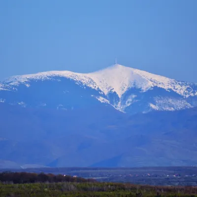 PeakCucurbăta MareBâlcaltitude 1 849 m11 km from GăinaCucurbăta Mare (Romanian: Vârful Cucurbăta Mare or Curcubăta Mare; also Bihor Peak, Romanian: Vârful Bihor; Hungarian: Nagy-Bihar) is the highest summit of the Bihor...
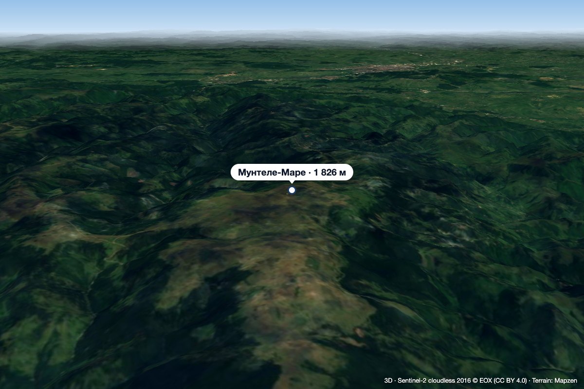 PeakMuntele MareSăgageaaltitude 1 826 m41 km from GăinaMuntele Mare (Romanian Vârful Muntele Mare, Hungarian Öreghavas) is a 1,826 m summit in the eastern part of the Apuseni Mountains (Western Romanian Carpathians).
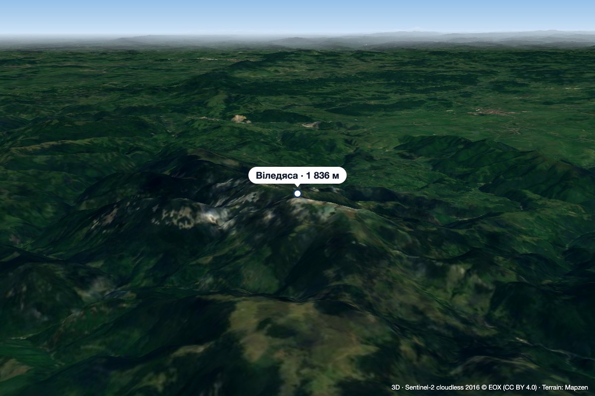 PeakVlădeasaRogojelaltitude 1 836 m46 km from GăinaVlădeasa (Romanian: Vârful Vlădeasa, Hungarian: Vigyázó-csúcs or Vlegyásza-csúcs) is the highest summit of the Vlădeasa Massif in the Apuseni Mountains (Western...
