Budacu
Budacu (Romanian Vârful Budacu, also Budacul; Hungarian Nagy-Budak) is the highest summit of the Bistrița Mountains in the Romanian Eastern Carpathians, at 1,859 m. The Bistrița Mountains cover about 1,200 km² between the Bistrița valley to the north-east and its tributary the Bistricioara to the south and west. They consist of two massifs of almost equal size – Pietrosul Bistriței in the north and Budacu in the south – divided by the Neagra valley, along which the DJ174 road runs from Panaci to Broșteni.
According to Romanian Wikipedia the main crest of the Budacu massif splits into two almost perpendicular chains in the shape of a “T”. The border of Neamț and Suceava counties runs along it. The nearest villages, in the valleys to the east, are Pârâul Cârjei, Borca and Mădei, about 11 km from the summit.
How to get there / routes
A route marked with a red cross leads to the summit, from the town of Broșteni over Budacu to the Țibleș saddle; according to OSM the European long-distance path E8 also passes here. Romanian Wikipedia notes that the path to Budacu connects in the west with the “Drumul Ieșenilor” – an old north–south route between the Bistricioara valley and the Șaru Dornei basin.
It also warns about the difficulties. The mountains themselves are easy to reach by road, but the paths are of medium to high difficulty because of the large height difference between the valleys and the crest and the steep slopes. Waymarking in the north of the range is kept up, while in the south it often disappears; in the central part of the Budacu massif marks are sparse and in places vanish altogether. There are no mountain huts or shelters in the massif, so plan to be fully self-sufficient, with a map and GPS.
What you see from the summit
The sources give no description of the panorama. By position, the Pietrosul Bistriței massif lies to the north beyond the Neagra valley, the Bistrița valley to the east, and the Bistricioara valley to the south with the Ceahlău massif beyond it.
Nature and history
Both massifs are built of crystalline schists – metamorphic rocks overlain in places by Triassic and Cretaceous sediments. The mean annual temperature in the mountains is 2–6 °C, and above 1,800 m only 0–2 °C; precipitation reaches 800–1,200 mm a year or more, strong winds are frequent, summers are short and winters long. Beech forest grows up to 1,200 m, then mixed and coniferous forest, and on the tops meadows with juniper, dwarf pine, bilberry and lingonberry.
The forests are home to wild boar, badger, wolf, fox, wildcat, roe deer, bear, red deer and lynx, and among the birds hazel grouse, capercaillie, woodpeckers and the golden eagle. According to Romanian Wikipedia, the rocky, partly wooded crests are favourite vipers’ habitat.
Safety, season and rules
Because of the sparse waymarks and the lack of shelters, a hike to Budacu needs careful planning and should not be done alone. Watch your step on the rocky crests – vipers live here. Salvamont advises checking the forecast for the next 24 hours, not going alone, telling family your route, carrying a map, compass, torch, enough water and a charged phone, and leaving the open ridge at once if a thunderstorm comes. In winter snow hides the few waymarks there are. The sources give no information on a national or natural park around the summit.
Bears are common in these mountains. Stay on the marked paths, call out as you walk, do not hike in the evening or at night, do not keep food in your tent and store it away from your camp. Sheepdogs near sheepfolds may rush at hikers – do not run, stop and shield yourself with your rucksack. In an emergency call the national dispatch 0SALVAMONT – 0725 826 668 or 112; advice on animal encounters is on the Salvamont România website.
Getting there from Ukraine
Border crossings
- Porubne – Siret — road and pedestrian, 24/7
- Diakivtsi – Racovăț — road and pedestrian, 24/7 No freight traffic.
- Krasnoilsk – Vicovu de Sus — road and pedestrian, 08:00–20:00 Cars up to 3.5 t and pedestrians only; not 24/7.
- Solotvyno – Sighetu Marmației — road and pedestrian, 24/7 Passenger traffic only: vehicles up to 3.5 t with up to 9 seats, pedestrians.
- Diakove – Halmeu — road, 24/7 No pedestrian crossing.
By car
Chernivtsi – Vatra Dornei ≈153 km, ≈3 h 00 min (via Krasnoilsk – Vicovu de Sus); Rakhiv – Vatra Dornei ≈204 km, ≈4 h 12 min (via Solotvyno – Sighetu Marmației); Ivano-Frankivsk – Vatra Dornei ≈271 km, ≈5 h 00 min (via Krasnoilsk – Vicovu de Sus). Times without border queues, our road routing (GraphHopper, OSM).
Checked 03.11.2026; border crossing hours and timetables change — check before you travel.
Comments
Nearby attractions
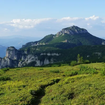 PeakToacaCeahlăualtitude 1 904 m26 km from BudacuToaca (Romanian: Vârful Toaca) is the second-highest summit of the Ceahlău Massif in the Eastern Carpathians, 1,904 m above sea level; it is only 3 m lower than...
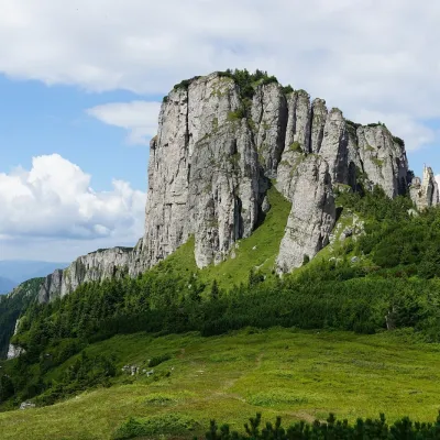 PeakOcolașul MareSecualtitude 1 907 m28 km from BudacuOcolașul Mare (Romanian: Vârful Ocolașul Mare) is the highest summit of the Ceahlău Massif in the Eastern Carpathians, 1,907 m above sea level.
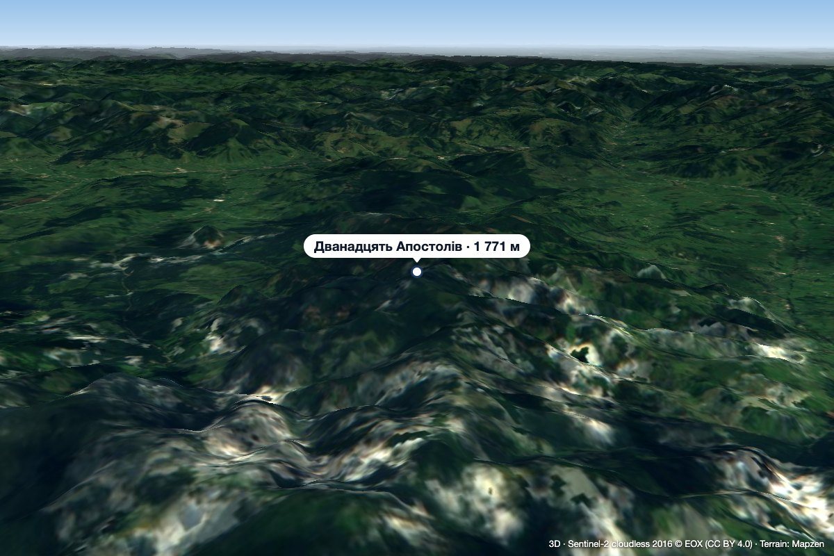 Peak12 ApostoliGura Haitiialtitude 1 771 m37 km from Budacu12 Apostoli (Romanian Vârful 12 Apostoli, Doisprezece Apostoli – “the Twelve Apostles”) is a 1,771 m summit in the northern part of the Călimani Mountains, in Suceava...
