Parângul Mare
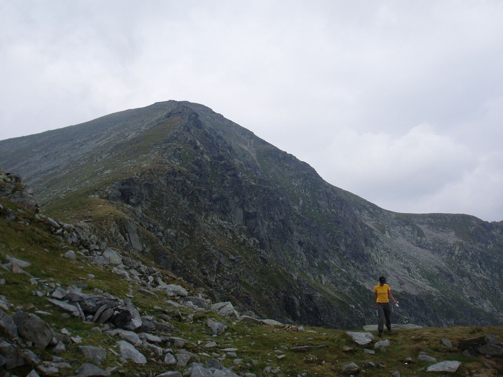
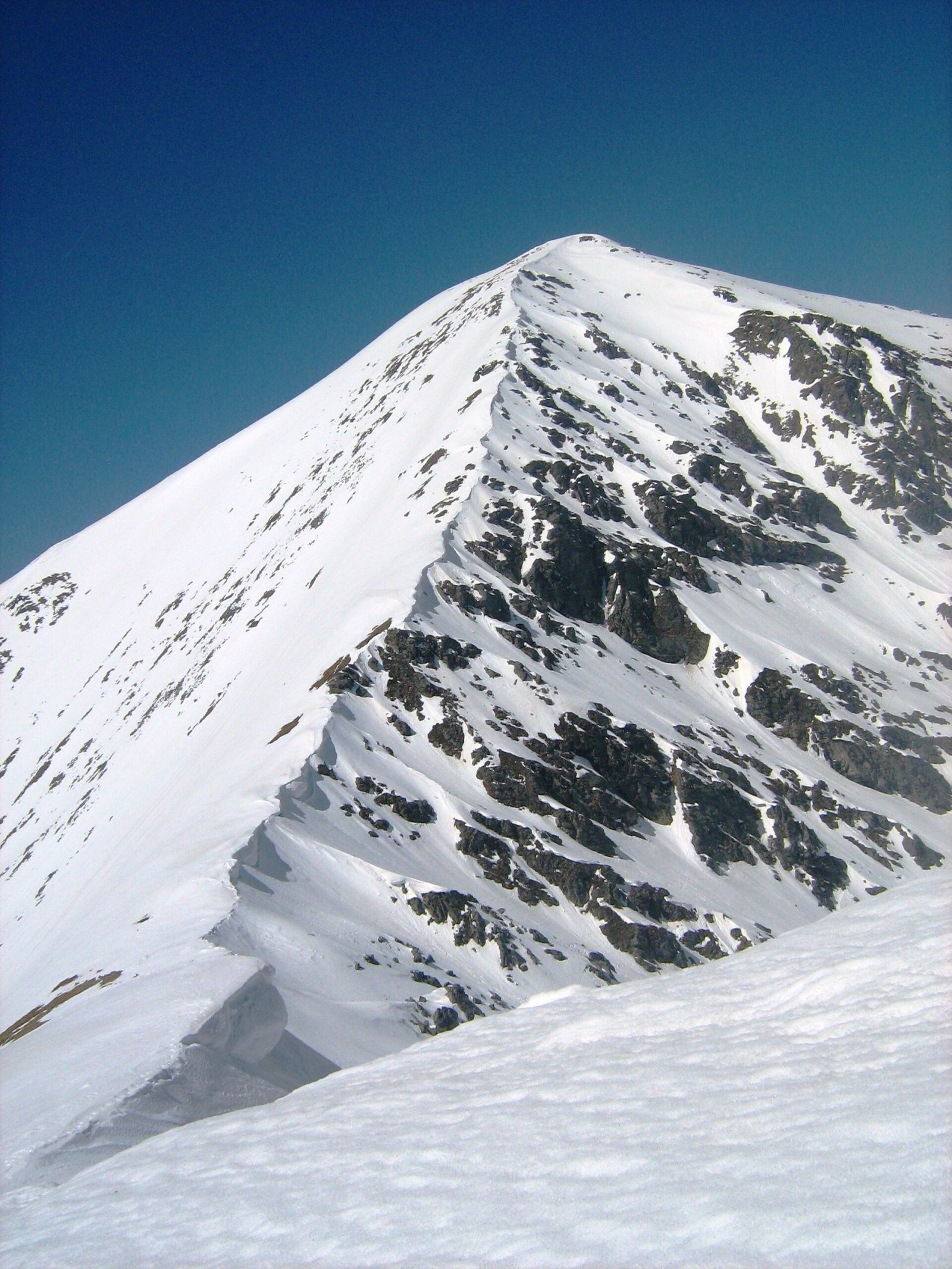
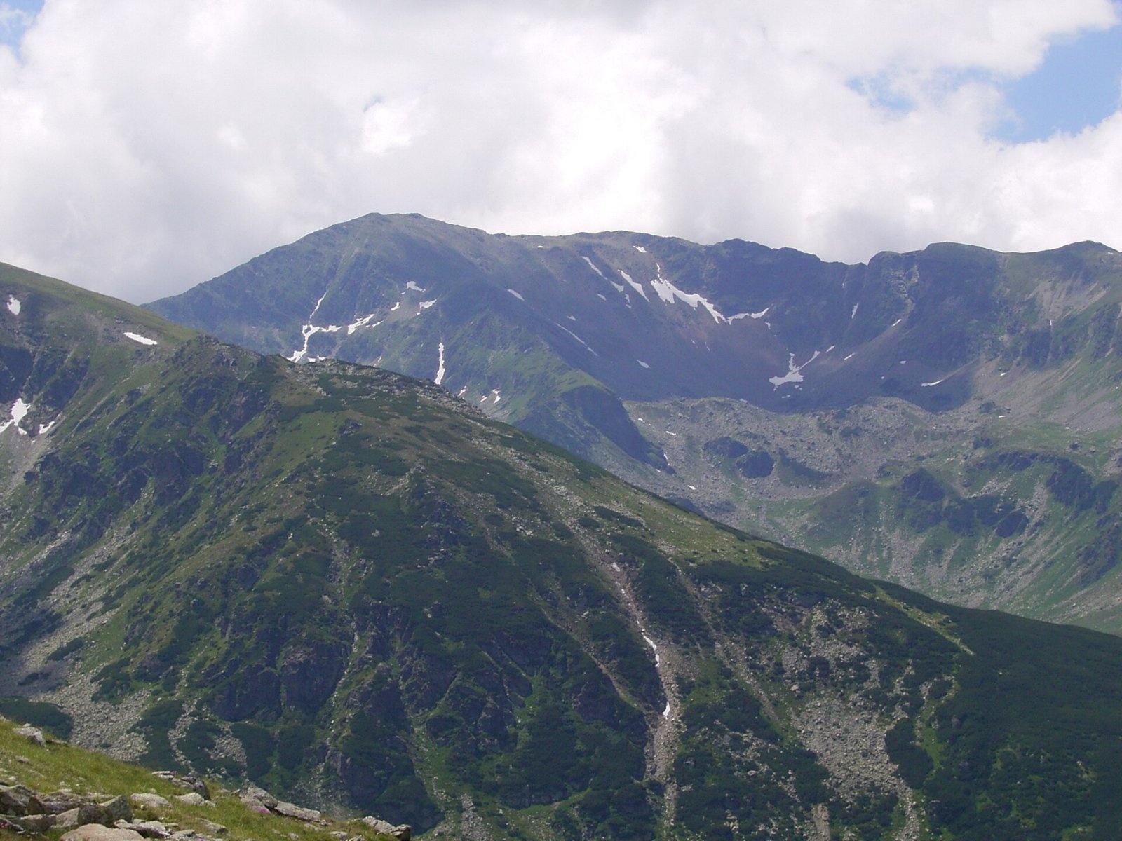
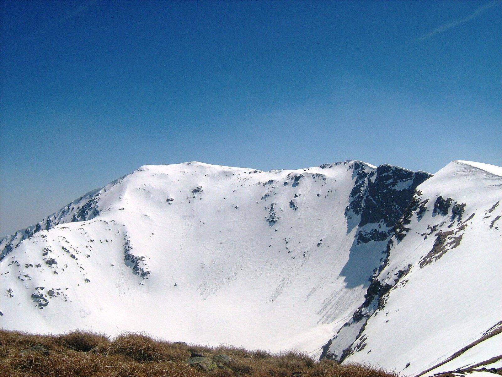
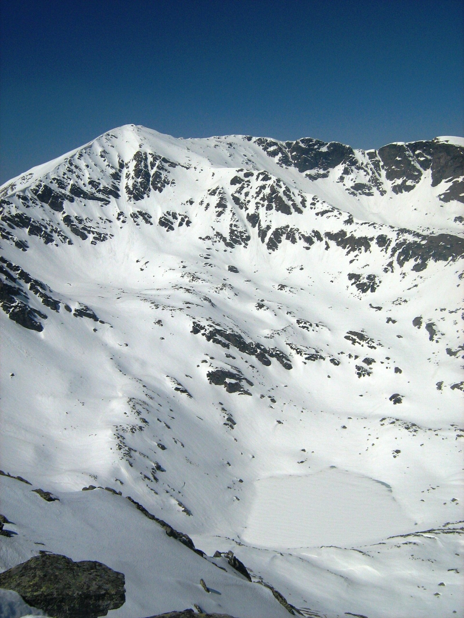
Parângul Mare (Romanian: Vârful Parângul Mare, «Great Parâng»; also Parângu Mare) is the highest summit of the Parâng Mountains in the Southern Carpathians, 2,519 m above sea level. It stands on the border of Hunedoara and Gorj counties, that is, on the old boundary between Transylvania and Oltenia (Lesser Wallachia). According to Czech Wikipedia, the peak lies about 15 km south-east of the mining town of Petroșani and 38 km north-east of Târgu Jiu; the nearest settlement is the mountain village of Rânca to the south, almost 13 km away.
By absolute height Parângul Mare is Romania's fourth peak and the highest outside the Făgăraș Mountains. By prominence, however, it has no rival: 2,103 m is the largest value in the country, even more than Moldoveanu. Its parent peak is Gerlachovský štít in the Slovak Tatras, and according to Ukrainian Wikipedia its topographic isolation from the nearest higher mountain, Negoiu, exceeds 84 km.
How to get there / routes
The Parâng ridge route with the red stripe crosses the summit: from Petroșani along the main ridge over Parângul Mare to the Curmătura Oltețului saddle, and Czech Wikipedia also mentions the section to the Urdele pass on the Transalpina. The shortest well-marked ascent, according to German Wikipedia, starts at the Parâng ski resort above Petroșani: past the Cârja refuge (also called the «Rudolfshütte») and Cârja peak to the main ridge and on to Parângul Mare. Other routes in OSM data: the red dot from the Jiu Gorge via the Prisloapelor saddle, and the red cross from the south, from the village of Crasna in Gorj County over Molidvișu mountain. The peak can also be approached from the Groapa Seacă saddle on the Transalpina.
What you can see from the summit
Czech Wikipedia calls Parângul Mare a place of far-reaching views. Below the north-eastern slopes lies the glacial Roșiile cirque with Lake Mândra, nearby are lakes Lung and Roșiile, and according to Hungarian Wikipedia, Lake Zănoaga Stânei (1,910 m) lies right below the summit. To the west and east runs the Parâng ridge with the neighbouring peaks Gemănarea, Slivei and Gruiu; to the north you see the Petroșani Depression, to the south the Oltenian foothills.
Nature and history
The Parâng is one of the highest massifs of the Southern Carpathians: its main ridge stays above 2,000 m for tens of kilometres. The slopes are cut by glacial cirques with numerous lakes, making the massif one of the richest in mountain lakes in Romania. The mountains are built mainly of crystalline rocks; above the tree line there are alpine meadows and scree. The Hungarian name of the peak is Nagy-Páring.
Safety, season and rules
The Parâng main ridge is long and offers almost no shelter: it is dangerous in thunderstorms or fog, so set out early and in settled weather, ideally from July to September. The timetable of the Parâng resort chairlifts changes with the season — check it in advance. The Transalpina road (DN67C) between Rânca and Curpăt is closed in the cold season; in 2026 it reopened on 29 May — as of November 2026, check CNAIR notices. In winter the high ridges carry a serious avalanche risk — follow the avalanche bulletin of Romania's National Meteorological Administration (ANM) on meteoromania.ro.
Bears are common in the Romanian Carpathians. Salvamont rescuers advise not to hike alone, to talk loudly so that an animal hears you in advance, to keep your distance and never feed wildlife, and to store food in sealed containers away from your tent; if you meet a bear, do not run and back away slowly without turning your back.
Mountain rescue: Salvamont national dispatch 0SALVAMONT = 0725 826 668 and the emergency number 112.
Interesting facts
- Parângul Mare is Romania's most prominent mountain, with a prominence of 2,103 m.
- It is the country's highest peak outside the Făgăraș Mountains.
- According to Ukrainian Wikipedia, the key col from which its prominence is measured lies at only 416 m.
Photos: Sbodash at English Wikipedia, Public domain; Cioboata Andrei, CC BY 3.0; Hardsr, Public domain; Cioboata Andrei, CC BY 3.0; Cioboata Andrei, CC BY 3.0; Cioboata Andrei, CC BY 3.0 — Wikimedia Commons.
Getting there from Ukraine
Border crossings
- Porubne – Siret — road and pedestrian, 24/7
- Diakivtsi – Racovăț — road and pedestrian, 24/7 No freight traffic.
- Krasnoilsk – Vicovu de Sus — road and pedestrian, 08:00–20:00 Cars up to 3.5 t and pedestrians only; not 24/7.
- Solotvyno – Sighetu Marmației — road and pedestrian, 24/7 Passenger traffic only: vehicles up to 3.5 t with up to 9 seats, pedestrians.
- Diakove – Halmeu — road, 24/7 No pedestrian crossing.
By car
Rakhiv – Petroșani ≈450 km, ≈6 h 36 min (via Solotvyno – Sighetu Marmației); Ivano-Frankivsk – Petroșani ≈584 km, ≈8 h 55 min (via Solotvyno – Sighetu Marmației); Chernivtsi – Petroșani ≈539 km, ≈9 h 19 min (via Krasnoilsk – Vicovu de Sus). Times without border queues, our road routing (GraphHopper, OSM).
Checked 03.11.2026; border crossing hours and timetables change — check before you travel.
Location on the map
Water and shelter nearby
- Hut below Parângul Mare240 m · Not verified · 2 466 m
- Spring below Slivei (east slope), 1 908 m1.6 km · Not verified · 1 908 m
- Spring below Slivei (east slope), 1 901 m1.8 km · Not verified · 1 901 m
- Spring below Parângul Mare2.1 km · Not verified · 1 938 m
- Spring below Gruiu2.5 km · Not verified · 1 914 m
Comments
Nearby attractions
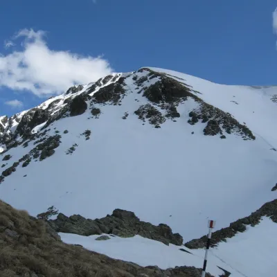 PeakCârjaaltitude 2 405 m2.9 km from Parângul MareCârja (Romanian Vârful Cârja) is a 2,405 m summit in the Parâng Mountains of the Southern Carpathians in Romania.
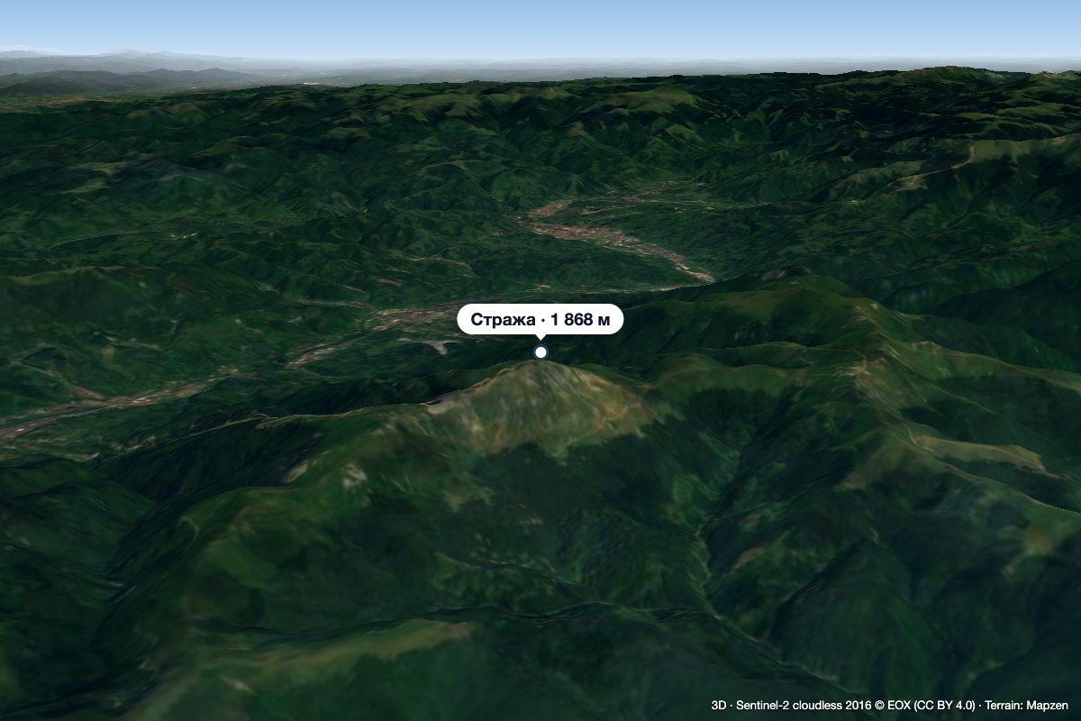 PeakStrajaJiu-Paroșenialtitude 1 868 m22 km from Parângul MareStraja (Romanian Vârful Straja) is a 1,868 m summit in the Vâlcan Mountains in the western Southern Carpathians.
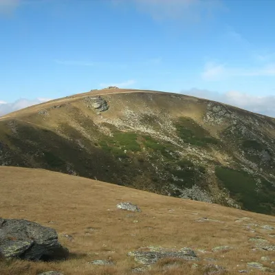 PeakȘteflești Peakaltitude 2 242 m30 km from Parângul MareȘteflești Peak (Romanian Vârful Șteflești) is the highest summit of the Lotru Mountains, at 2,242 m, in the Southern Carpathians of Romania.
