Muntele Mic
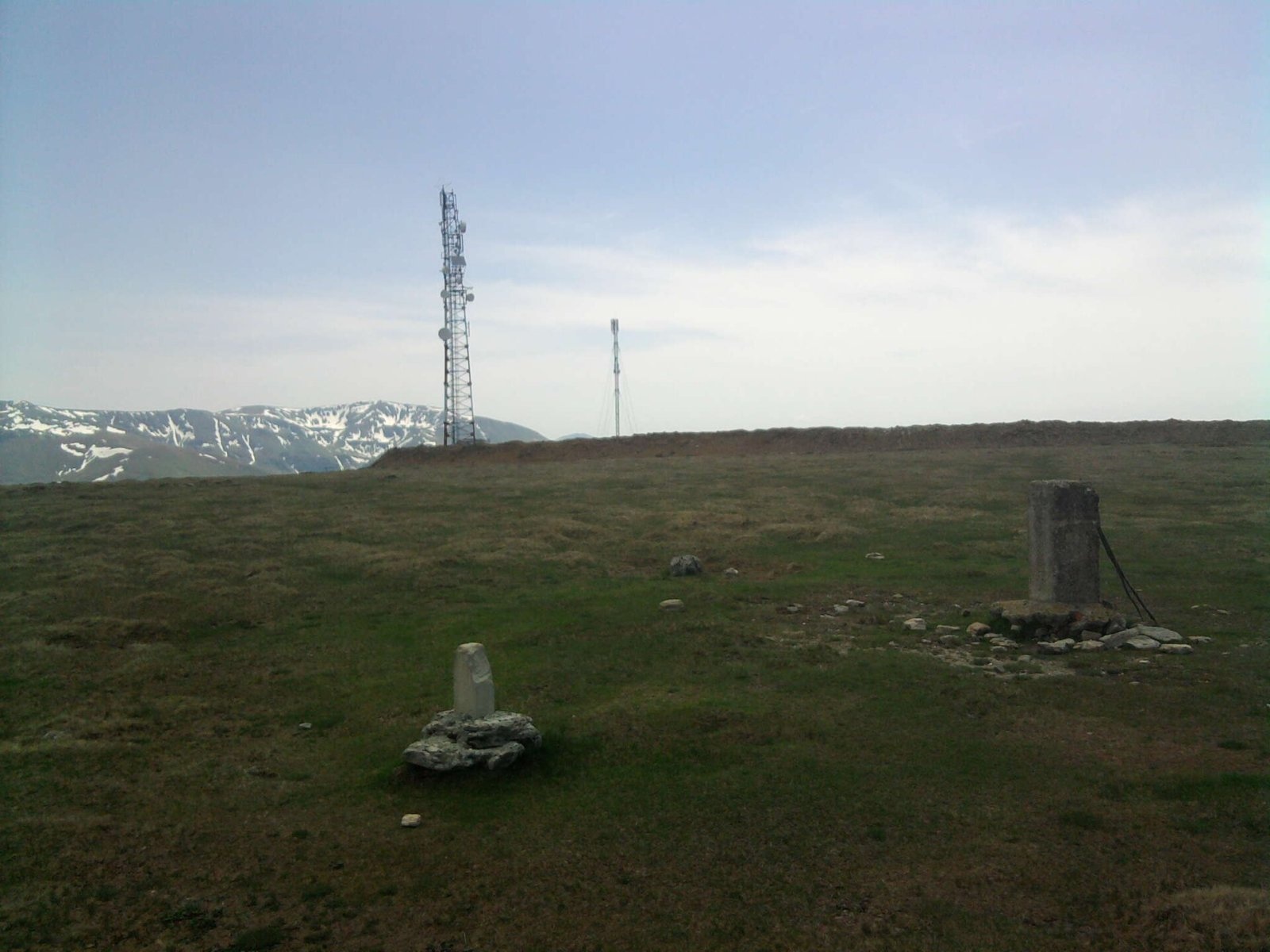
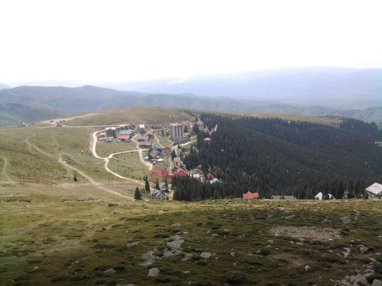
Muntele Mic (Romanian, “the Little Mountain”; Hungarian Kis-havas) is a 1,802 m mountain (1,807 m according to OSM and a Wikimedia Commons caption) in Caraș-Severin County in south-western Romania. It forms a separate massif in the north-western part of the Țarcu Mountains, west of the main Țarcu – Căleanu, Baicu – Nedeia and Pietrii – Petreanu ridge, and rises above the Timiș valley and the town of Caransebeș. Its prominence is about 590 m. The nearest settlements are Poiana Mărului (about 6 km) and Borlova (about 10 km).
Unlike the sharp summits of many Carpathian ranges, Muntele Mic has a broad, gentle summit plateau; this is where, according to Hungarian and English Wikipedia, a ski area operates on the north-western slopes of the Țarcu Mountains. Nearby in the Țarcu Mountains lies the artificial Lake Poiana Mărului.
How to get there / trails
The mountain has a ski area: according to OSM, its lift stations are 300 m to 1 km from the summit. OSM shows no waymarked hiking trail running over the summit itself. Romanian Wikipedia lists the main gateways to the Țarcu Mountains as the Bistra valley, Poiana Mărului and the villages of the Timiș – Cerna corridor south of Caransebeș; from there you can continue deeper into the massif, where a red trail follows the main ridge to Țarcu Peak and the Cuntu weather station. Lift timetables change, so check them in advance.
What you can see from the summit
The sources give no detailed description of the panorama. By position, the Timiș valley lies west of the flat top of Muntele Mic, and the main ridge of the Țarcu Mountains with Țarcu Peak stretches to the east.
Nature and history
The Țarcu Mountains are built mainly of weakly metamorphosed crystalline schists cut by granites. Above 1,600–1,800 m alpine and subalpine meadows with fescue and mat-grass spread, along with dwarf mountain pine, juniper, rhododendron and bilberry. Bear, wolf, roe deer, wild boar and stone marten live in the forests, and chamois and capercaillie in the high mountains. The massif lies in the Natura 2000 site “Munții Țarcu” (ROSCI0126), designated in 2007; the species it was declared for include the European bison, wolf, lynx and otter.
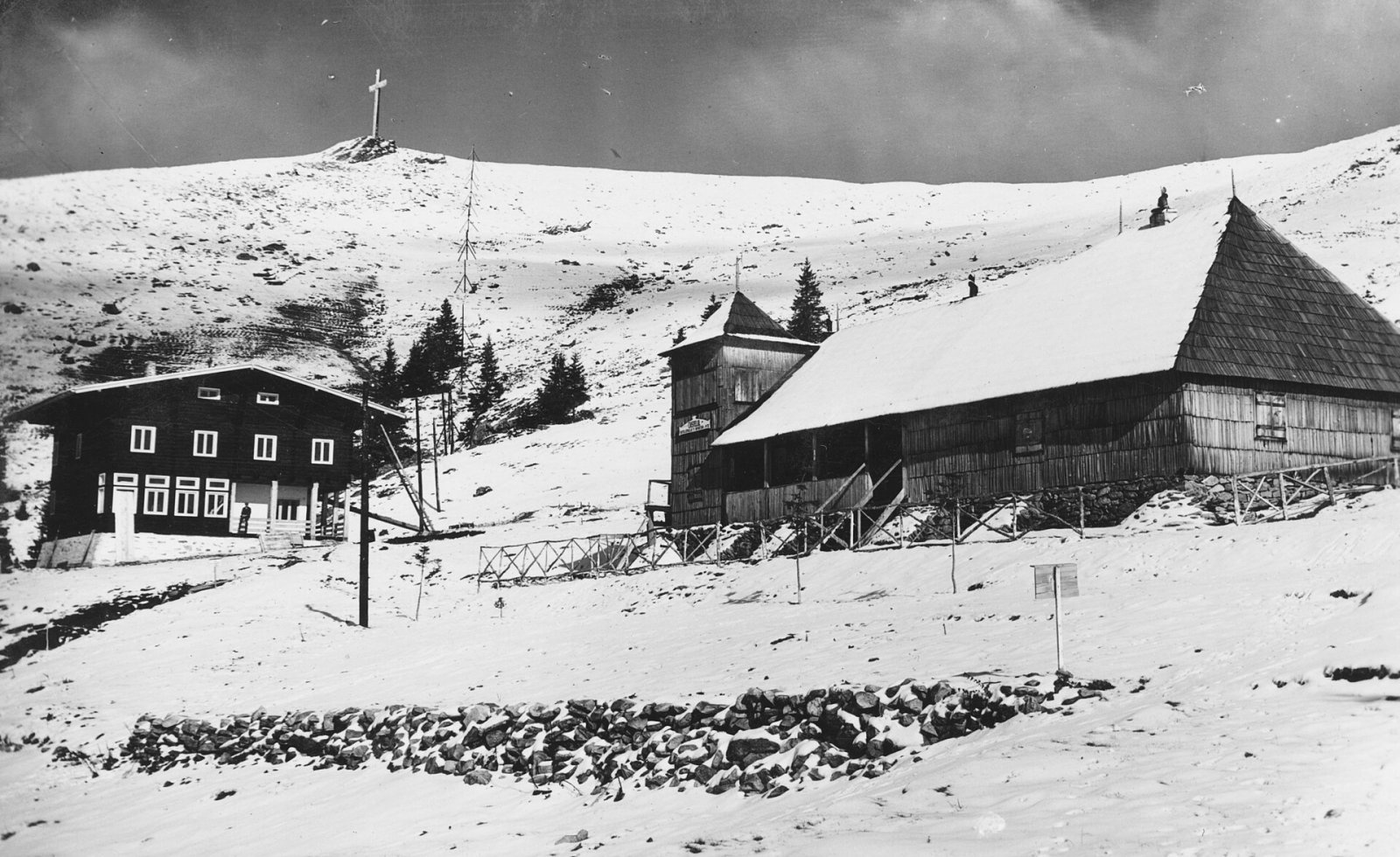
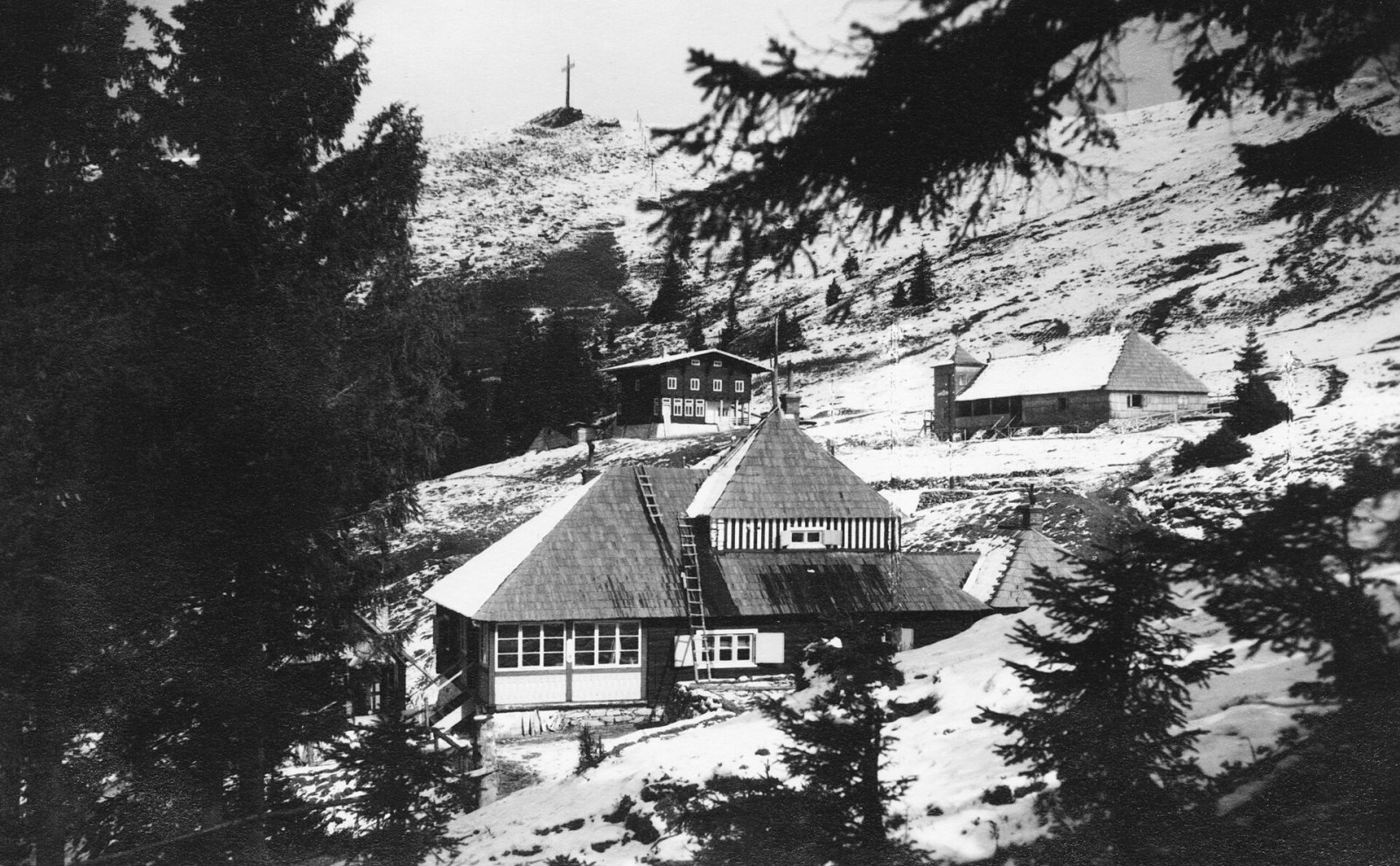
The Fortepan photo archive holds pictures of Muntele Mic near Caransebeș from 1940 (where the mountain is called Fertő-tető in Hungarian). A Heroes' Cross stands on the mountain, and in 2018 a cable-car station was being built here.
Safety, season and rules
Western winds bring the Țarcu Mountains a lot of precipitation, the weather changes quickly, and snow can fall above 1,500 m in any month. In winter the plateau is taken up by ski runs – do not walk on them, and in fog on the flat plateau keep to roads and waymarks. Salvamont advises checking the forecast for the next 24 hours, not going alone, telling your family your route and taking warm, windproof clothing and a torch.
Bears are common in the Țarcu Mountains. Stay on the marked paths, walk in a group and talk, do not hike in the evening or at night, keep dogs on a leash and do not leave food near your tent. Sheepdogs near sheepfolds may rush at hikers – do not run, shield yourself with your rucksack. In an emergency call the national dispatch 0SALVAMONT – 0725 826 668 or 112; advice on animal encounters is on the Salvamont România website.
Photos: Stadtigel, CC BY-SA 4.0; Stadtigel, CC BY-SA 4.0; FOTO:Fortepan — ID 73416: Adományozó/Donor: Schwertner Ágnes. archive copy at the Wayback Machine, CC BY-SA 3.0; FOTO:Fortepan — ID 73417: Adományozó/Donor: Schwertner Ágnes. archive copy at the Wayback Machine, CC BY-SA 3.0 — Wikimedia Commons.
Getting there from Ukraine
Border crossings
- Porubne – Siret — road and pedestrian, 24/7
- Diakivtsi – Racovăț — road and pedestrian, 24/7 No freight traffic.
- Krasnoilsk – Vicovu de Sus — road and pedestrian, 08:00–20:00 Cars up to 3.5 t and pedestrians only; not 24/7.
- Solotvyno – Sighetu Marmației — road and pedestrian, 24/7 Passenger traffic only: vehicles up to 3.5 t with up to 9 seats, pedestrians.
- Diakove – Halmeu — road, 24/7 No pedestrian crossing.
By car
Rakhiv – Petroșani ≈450 km, ≈6 h 36 min (via Solotvyno – Sighetu Marmației); Ivano-Frankivsk – Petroșani ≈584 km, ≈8 h 55 min (via Solotvyno – Sighetu Marmației); Chernivtsi – Petroșani ≈539 km, ≈9 h 19 min (via Krasnoilsk – Vicovu de Sus). Times without border queues, our road routing (GraphHopper, OSM).
Checked 03.11.2026; border crossing hours and timetables change — check before you travel.
Location on the map
Water and shelter nearby
- Drinking water below Muntele Mic (south-east slope)530 m · Not verified · 1 770 m
- Drinking water below Muntele Mic (east slope)1.9 km · Not verified · 1 441 m
- Voinii Well2.9 km · Not verified · 1 239 m
Comments
Nearby attractions
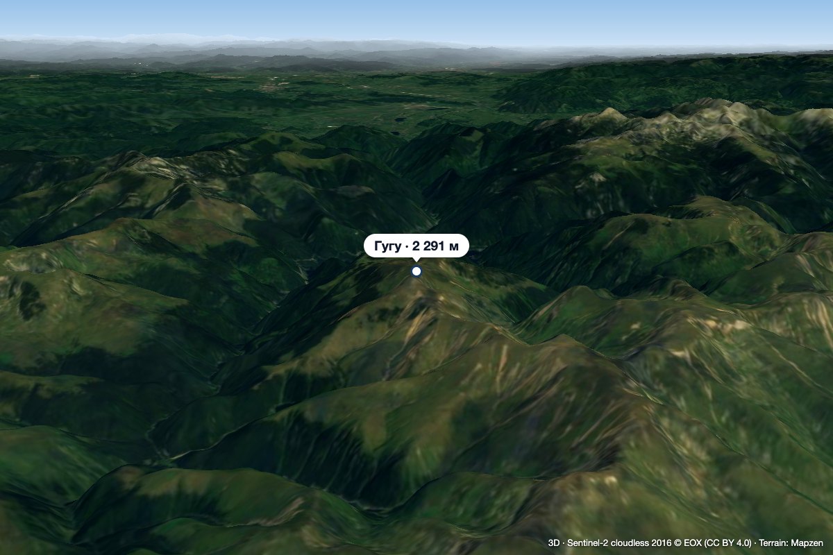 PeakGugu Peakaltitude 2 291 m19 km from Muntele MicGugu Peak (Romanian Vârful Gugu, also Muntele Gugu) is the highest summit of the Godeanu Mountains, at 2,291 m, in the western part of the Southern Carpathians in...
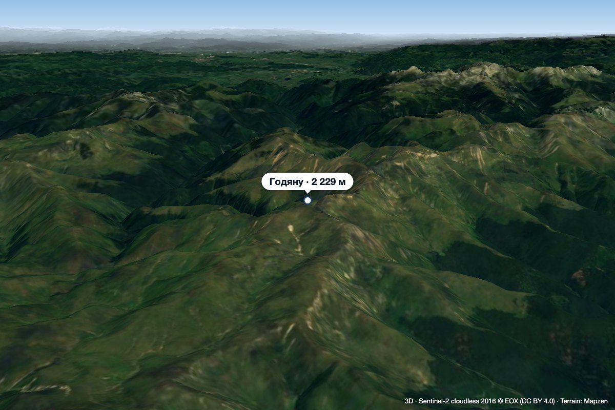 PeakGodeanu Peakaltitude 2 229 m21 km from Muntele MicGodeanu Peak (Romanian Vârful Godeanu) is a 2,229 m summit on the main ridge of the Godeanu Mountains in the western Southern Carpathians of Romania.
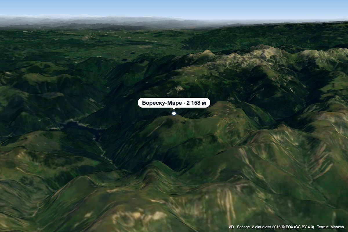 PeakBorăscu Marealtitude 2 158 m23 km from Muntele MicBorăscu Mare (Romanian Vârful Borăscu Mare), often simply called Borăscu, is a 2,158 m summit in the northern part of the Godeanu Mountains in the Southern Carpathians...
