Cozia Peak (Ciuha Mare)
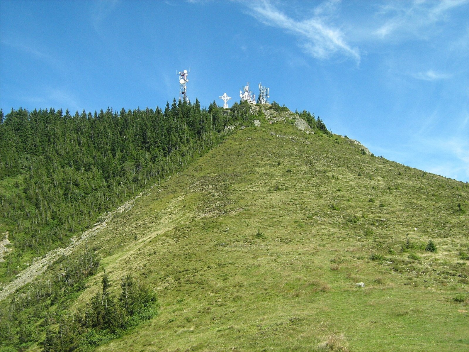
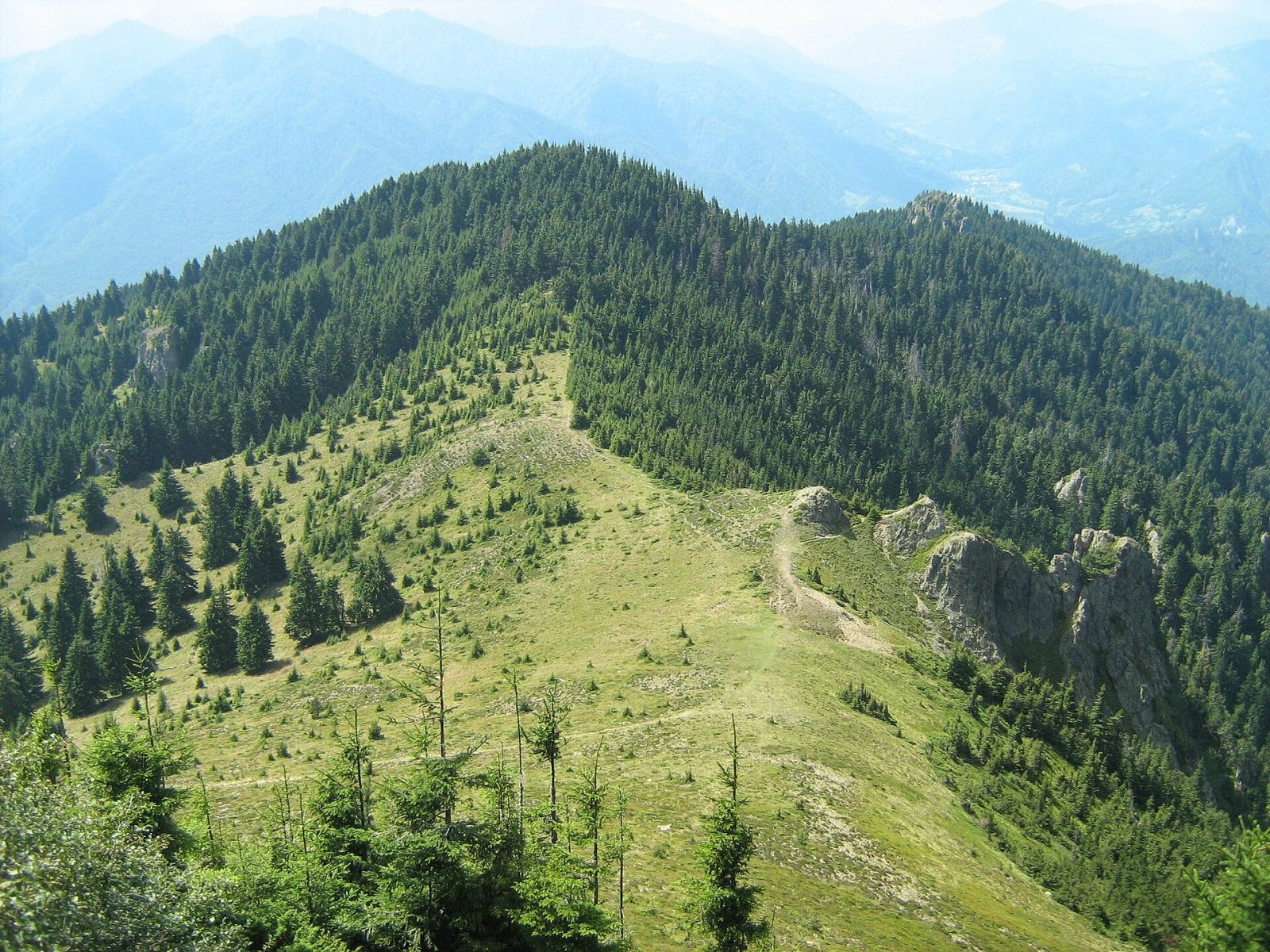
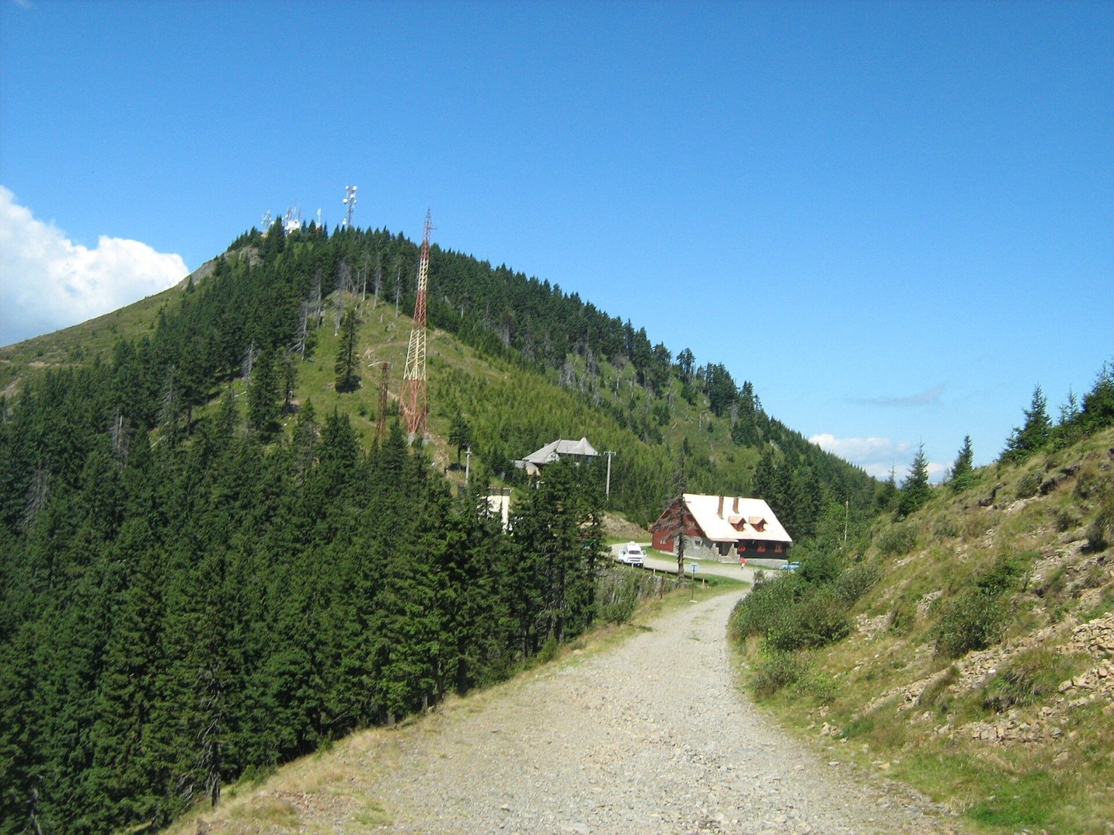
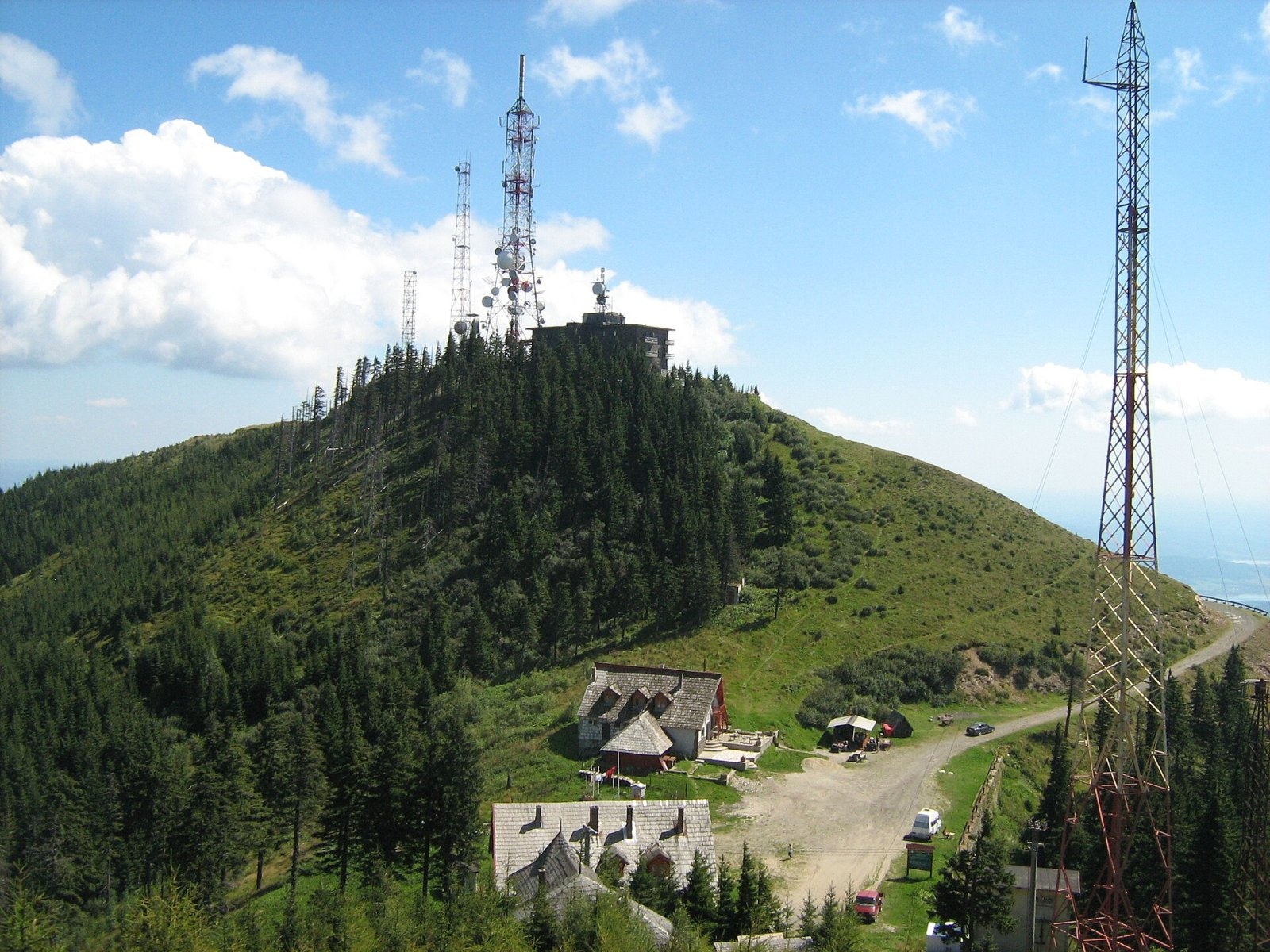
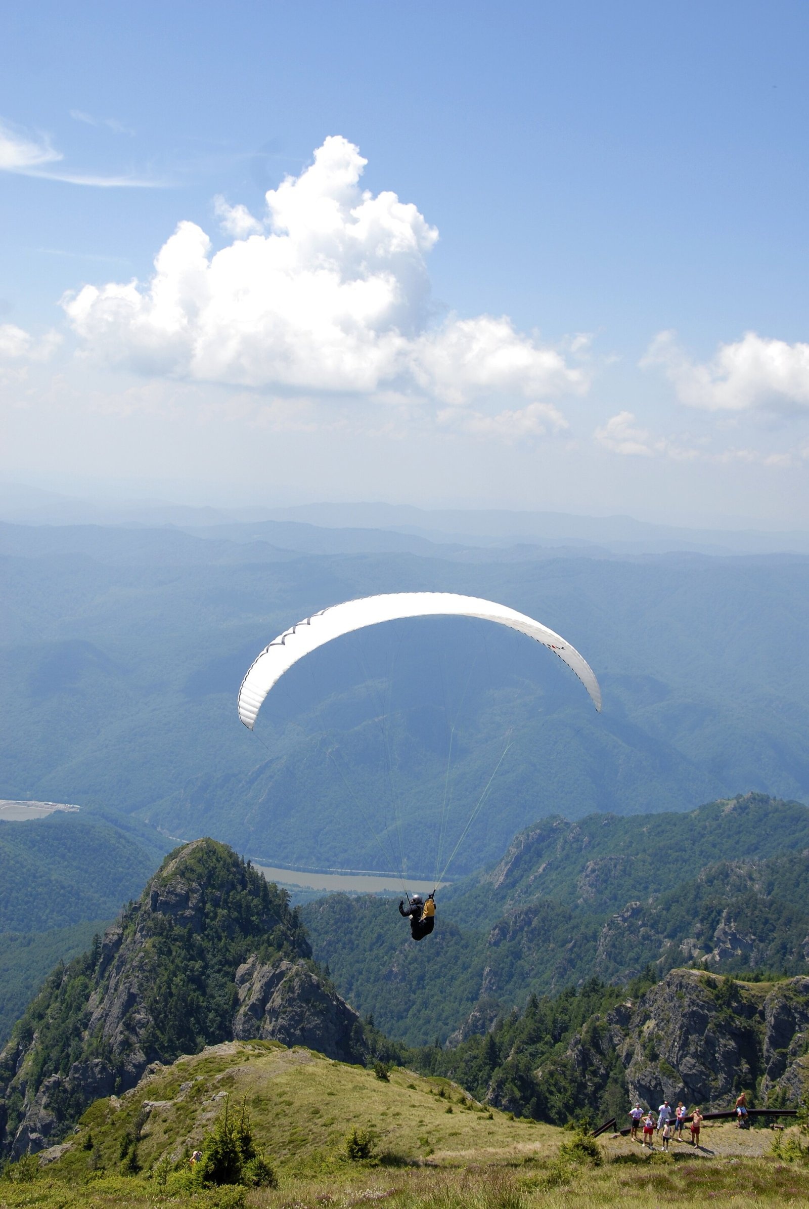
Cozia Peak, also Ciuha Mare (Romanian Vârful Cozia), is the highest summit of the Cozia massif, at 1,668 m, in the central part of the Southern Carpathians in Romania, in Vâlcea County. The massif rises on the left bank of the Olt opposite the spa resort of Călimănești. According to Romanian Wikipedia, it is a group of almost radial ridges spreading from Cozia Peak – a unified rocky monolith. Other notable summits are Ciuha Mică (1,629 m), Durducul (Crucea Ciobanului, 1,568 m) and Bulzu (1,560 m). Cozia's prominence reaches 934 m: the mountain rises very impressively above the Olt valley.
The massif belongs to the southern offshoots of the Făgăraș, together with the Frunți and Ghițu massifs, and covers about 77 km². To the north the intramontane Țara Loviștei depression separates it from the main Făgăraș ridge, to the north-east the Băiașul brook bounds it, to the west the last gorge of the Olt, and to the south and south-east the Subcarpathian hills of the Jiblea – Călimănești depression.
How to get there / trails
The foot of the massif is easy to reach by the railway running through the Olt gorge or by the DN7 road Râmnicu Vâlcea – Tălmaciu. Waymarked trails start right at the railway halts. From the Mănăstirea Turnu halt a red stripe crosses the massif to the Cozia hut and on to the village of Pripoare; from the same halt a red triangle climbs past the Turneanu refuge to the Cozia hut. From Lotru station a blue stripe follows the Muchia Urzica ridge to the Cozia hut. The hut stands about 400 m from the summit at roughly 1,500 m, so the last stretch is short.
What you can see from the summit
From the summit you can see the Cozia hut and the relay below it, as well as the deep Olt valley. The peak also attracts paragliders: Wikimedia Commons has a photo taken during a paragliding competition on top of Cozia. The Țara Loviștei depression and the main Făgăraș ridge lie to the north of the massif.
Nature and history
The massif is built of crystalline rocks – the so-called Cozia augen gneisses – and of sedimentary limestones, conglomerates and sandstones. Since 2000 it has been part of Cozia National Park (IUCN category II), about 171 km² in area, which covers the whole massif as well as the eastern Căpățânii and south-eastern Lotru Mountains; the first proposals for protection date back to 1966. In 2017 two old-growth forest areas of the park became part of the UNESCO World Heritage site “Ancient and Primeval Beech Forests of the Carpathians and Other Regions of Europe”.
The park protects bear, wolf, lynx and several bat species, as well as the bush-cricket Isophya harzi, endemic to Cozia. Plants include edelweiss, bellflowers, pinks, the Carniolan lily, the least primrose and the knapweed Centaurea coziensis, named after these mountains. Beech, oak-hornbeam and spruce forests cover the slopes, and plants of limestone rock communities grow on the steep crags.
At the foot of the massif, in the Olt valley, stands the Cozia Monastery at Căciulata, founded in the 14th century, and nearby the Turnu Monastery at Păușa (15th–16th century), which gave its name to the railway halt at the start of the trails.
Safety, season and rules
Cozia is a national park, so check the current visiting rules with the park administration before your hike: the park's official website was not responding when this text was prepared. The climbs from the Olt valley are long with a big height difference, and the rocky sections are slippery after rain. Salvamont advises checking the forecast for the next 24 hours, not going alone, telling your family your route and taking a torch, warm clothing and enough water.
Bears are common in the Cozia massif. Stay on the marked paths, walk in a group and talk, do not hike in the evening or at night, keep dogs on a leash, do not leave food in or near your tent and move away from a bear cub, because the mother is almost always nearby. In an emergency call the national dispatch 0SALVAMONT – 0725 826 668 or 112; advice on animal encounters is on the Salvamont România website.
Photos: Cioboata Andrei, CC BY 3.0; Cioboata Andrei, CC BY 3.0; Cioboata Andrei, CC BY 3.0; Cioboata Andrei, CC BY 3.0; Dorin Paslaru, CC BY 2.0; Petr Vodička, CC BY-SA 4.0 — Wikimedia Commons.
Getting there from Ukraine
Border crossings
- Porubne – Siret — road and pedestrian, 24/7
- Diakivtsi – Racovăț — road and pedestrian, 24/7 No freight traffic.
- Krasnoilsk – Vicovu de Sus — road and pedestrian, 08:00–20:00 Cars up to 3.5 t and pedestrians only; not 24/7.
- Solotvyno – Sighetu Marmației — road and pedestrian, 24/7 Passenger traffic only: vehicles up to 3.5 t with up to 9 seats, pedestrians.
- Diakove – Halmeu — road, 24/7 No pedestrian crossing.
By car
Rakhiv – Sibiu ≈390 km, ≈5 h 33 min (via Solotvyno – Sighetu Marmației); Ivano-Frankivsk – Sibiu ≈524 km, ≈7 h 52 min (via Solotvyno – Sighetu Marmației); Chernivtsi – Sibiu ≈435 km, ≈8 h 00 min (via Diakivtsi – Racovăț). Times without border queues, our road routing (GraphHopper, OSM).
Checked 03.11.2026; border crossing hours and timetables change — check before you travel.
Location on the map
Water and shelter nearby
- Cozia Hut370 m · Standing · 1 500 m
- Armasaru Hut960 m · Not verified · 1 434 m
- Turneanu Hut1.4 km · Not verified · 1 315 m
- Spring below Colțul Mare al Foarfecii2.3 km · Not verified · 707 m
- Spring below 11252.5 km · Not verified · 820 m
Comments
Nearby attractions
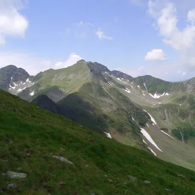 PeakCiorteaaltitude 2 427 m30 km from Cozia Peak (Ciuha Mare)Ciortea (Romanian Muntele Ciortea, German Hohe Scharte, Hungarian Csortea) is a mountain in the western Făgăraș with three close summits, the highest of which, Ciortea...
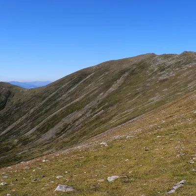 PeakSurualtitude 2 281 m31 km from Cozia Peak (Ciuha Mare)Suru (Romanian: Vârful Suru) is a 2,281 m summit in the western part of the Făgăraș Mountains in the Southern Carpathians, in Sibiu County.
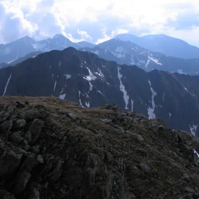 PeakȘerbotaaltitude 2 331 m33 km from Cozia Peak (Ciuha Mare)Șerbota (Romanian: Vârful Șerbota, Hungarian: Serbota-csúcs) is a 2,331 m summit on the main ridge of the Făgăraș Mountains in the Southern Carpathians, west of Negoiu...
