Postăvarul
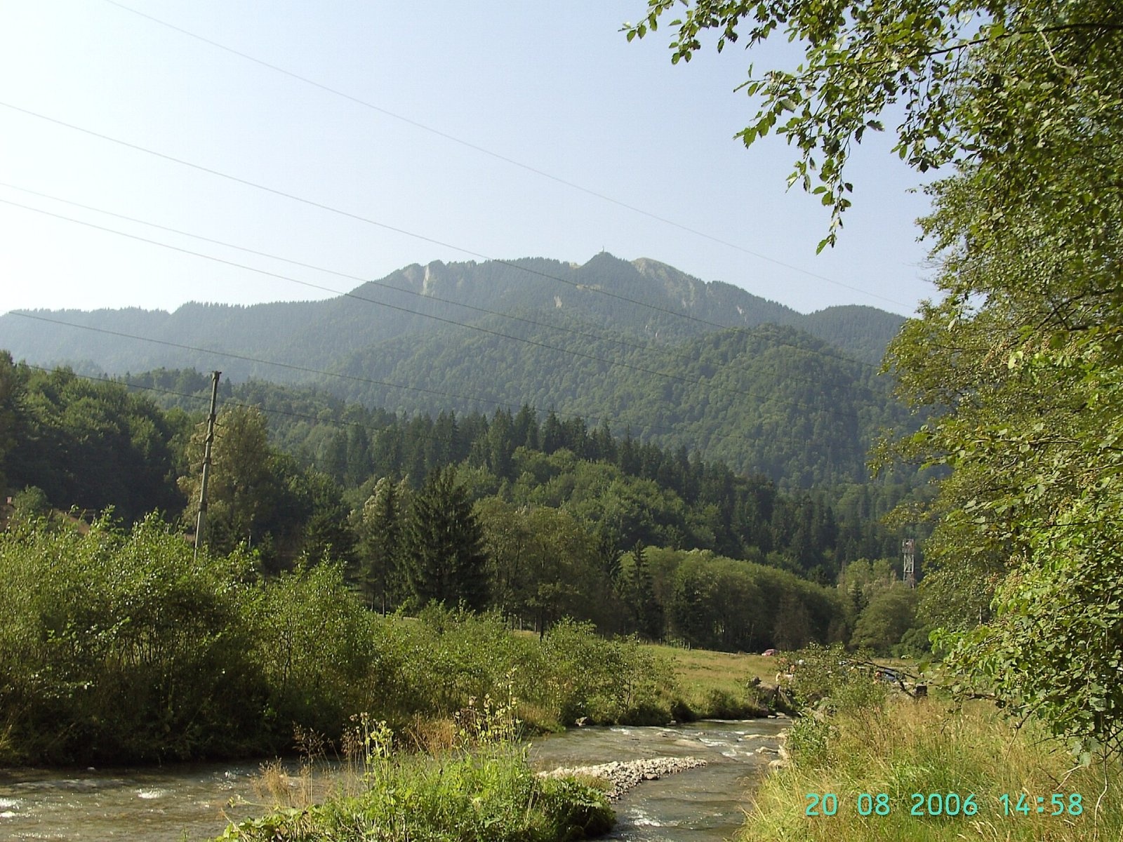
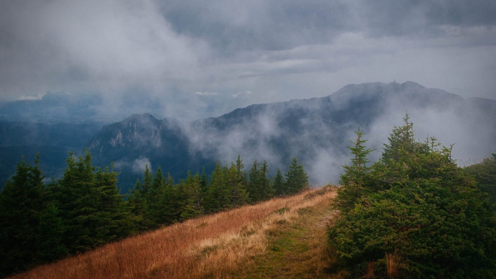
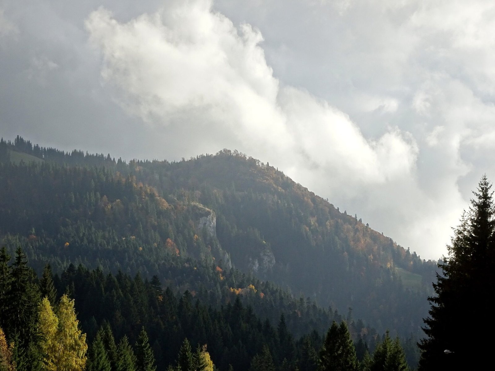
Postăvarul (Romanian Vârful Postăvarul, popularly Postăvaru, German Schuler, Hungarian Keresztényhavas) is a 1,799 m summit, the highest peak of the small Postăvarul Mountains near Brașov in Romania. Together with neighbouring Piatra Mare they form the Bârsei Mountains on the southern edge of the Brașov depression; geographers place them in the Curvature Carpathians, the very southern end of the arc of the Eastern Carpathians. The Bucegi rise to the west, the Predeal pass lies to the south and Piatra Mare to the east beyond the Timiș valley. The massif covers more than 170 km² and rises over 1,200 m above the Brașov depression, so it looks much higher than it really is.
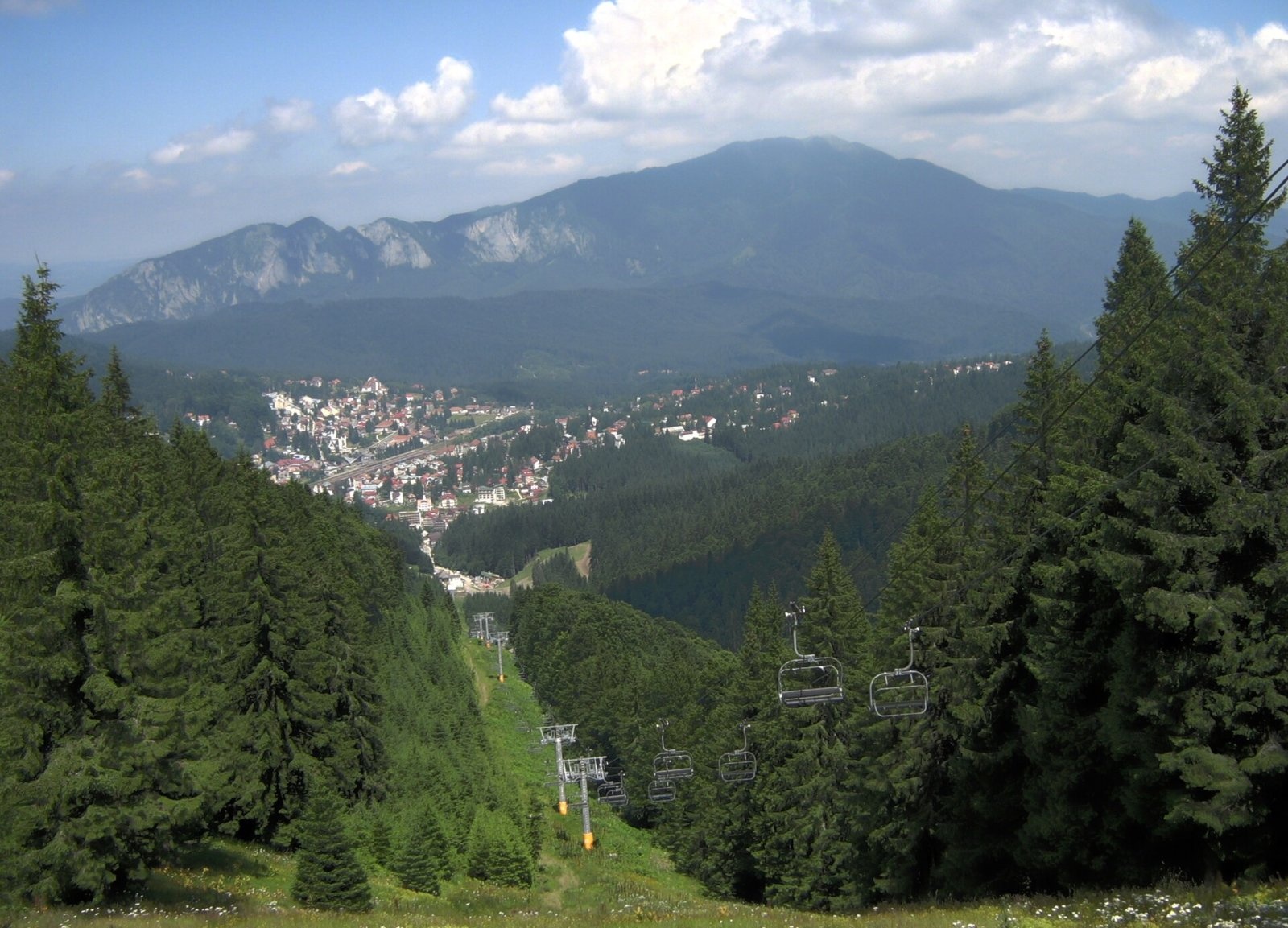
On the northern slopes, on a small plateau at 950–1,000 m, lies the well-known ski resort of Poiana Brașov, only 3.2 km from the summit. From the summit the main ridge runs north-east over Ruia (1,658 m), Crucurul Mare and Varna to Dârste; a spur branches off it and ends inside Brașov with Mount Tâmpa (955 m). To the south-west runs the steep Muchia Cheii ridge.
How to get there / trails
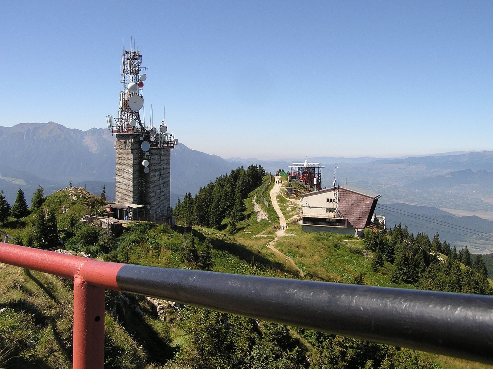
According to English Wikipedia, the summit can easily be reached from Poiana Brașov by cable car; its upper stations stand a few hundred metres from the top. On foot, a trail marked with a red cross leads from the resort through the Prăpastia Lupului (“Wolf's Chasm”) gorge. A blue stripe passes 60 m from the summit on its way from Timișu de Jos via the Postăvaru (Julius Römer) hut to the Dârste district of Brașov; the European long-distance path E8 follows this section too. According to Hungarian Wikipedia there are about 30 marked trails in the massif, while Romanian Wikipedia counts 35 officially approved routes of different difficulty. Cable-car timetables change, so check them before you go.
What you can see from the summit
From the summit you can see the Piatra Craiului ridge and the Bucegi with the Colții Morarului rocks, and to the north Brașov with Mount Tâmpa in the middle and the plain of the Burzenland. In winter temperature inversions are common: when the Brașov depression lies in cold fog, the sun shines and it is warmer at Poiana Brașov and on the peaks.
Nature and history
The massif is built of flysch, Jurassic limestones, Cretaceous rocks and sandstones. The northern slopes are gentle and mostly wooded, while the south has steep rock walls, screes and gorges; the Muchia Cheii ridge with the Porțile de Piatră (“Stone Gates”) rocks is popular with climbers. Most of the mountains are covered by mixed forest – conifers and beech; conifers dominate above 900 m. Red deer, roe deer, wild boar, wolves, foxes and bears live here – according to Hungarian Wikipedia, bears even visit the rubbish bins of Brașov's Noua and Răcădău districts at night. The mean annual temperature on the summit is 0–2 °C, annual precipitation about 1,100 mm, and winter in the upper part of the mountains lasts four to five months.
The Romanian name comes from a shepherd called Stoica Postăvarul, the Hungarian one from the village of Cristian (Keresztényfalva) below the mountain. The German name Schuler (“school mountain”) recalls that the mountain and Poiana Brașov once belonged to Brașov's German-language lyceum, founded in 1541. In 1881–1883 the Brașov section of the Transylvanian Carpathian Society (SKV) built a mountain hut near the summit – the third tourist shelter on the territory of present-day Romania; in 1935 it was named after the botanist and hiking pioneer Julius Römer, in 1945 it was nationalised, and in 2004 it was returned to the society. A relay station and a radio navigation beacon stand near the summit.
Safety, season and rules
The first frost can come as early as September and the last may linger until June; a lasting snow cover settles from October. In winter the northern slopes are taken up by ski runs. Bears are common in these mountains, so Salvamont advises walking in a group and talking, staying on marked paths, not hiking in the evening or at night, keeping dogs on a leash and not leaving food near your tent; move away from a bear cub – the mother is almost always nearby. Before you go, check the forecast and take warm clothes, a torch and a charged phone. In an emergency call the national dispatch 0SALVAMONT – 0725 826 668 or 112; Salvamont's advice on animal encounters is on the Salvamont România website.
Photos: Bluecipo, CC BY-SA 3.0; L.Kenzel, CC BY 3.0; Mihai Burlacu, CC BY-SA 3.0; Gabriel, CC BY 2.0; Whitepixels, CC0; L.Kenzel, CC BY 3.0 — Wikimedia Commons.
Getting there from Ukraine
Border crossings
- Porubne – Siret — road and pedestrian, 24/7
- Diakivtsi – Racovăț — road and pedestrian, 24/7 No freight traffic.
- Krasnoilsk – Vicovu de Sus — road and pedestrian, 08:00–20:00 Cars up to 3.5 t and pedestrians only; not 24/7.
- Solotvyno – Sighetu Marmației — road and pedestrian, 24/7 Passenger traffic only: vehicles up to 3.5 t with up to 9 seats, pedestrians.
- Diakove – Halmeu — road, 24/7 No pedestrian crossing.
By car
Chernivtsi – Brașov ≈395 km, ≈7 h 03 min (via Diakivtsi – Racovăț); Rakhiv – Brașov ≈419 km, ≈7 h 24 min (via Solotvyno – Sighetu Marmației); Uzhhorod – Brașov ≈522 km, ≈8 h 39 min (via Diakove – Halmeu). Times without border queues, our road routing (GraphHopper, OSM).
Checked 03.11.2026; border crossing hours and timetables change — check before you travel.
Location on the map
Water and shelter nearby
- Postăvaru Hut1.1 km · Standing · 1 600 m
- Spring below Pisiac (east slope)1.8 km · Not verified · 1 275 m
- Spring below Crucurul Mare2.2 km · Not verified · 1 078 m
- Spring below Pisiac (south slope)2.4 km · Not verified · 1 053 m
Comments
Nearby attractions
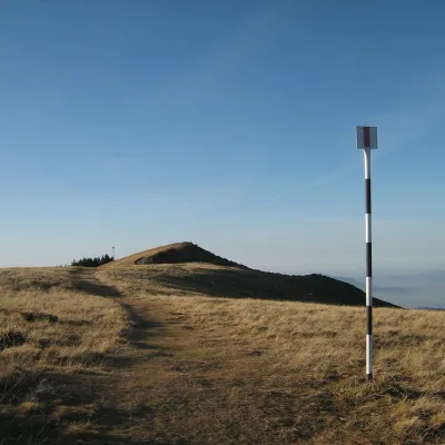 PeakPiatra MareTimișu de Josaltitude 1 843 m5.9 km from PostăvarulPiatra Mare (Romanian Vârful Piatra Mare, “the Great Stone”, German Hohenstein, Hungarian Nagykőhavas) is the highest summit of the small massif of the same name south...
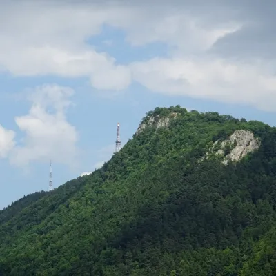 PeakTâmpaBrașovaltitude 960 m7.5 km from PostăvarulTâmpa (German Zinne, Hungarian Cenk) is the city mountain of Brașov, 960 m high, almost entirely surrounded by the city and rising about 400 m above it.
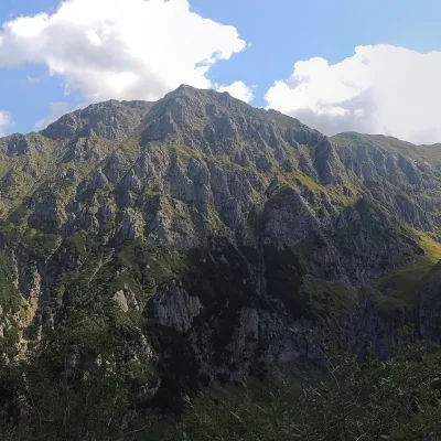 PeakBucșoiuPârâul Recealtitude 2 492 m15 km from PostăvarulBucșoiu (Romanian Vârful Bucșoiu) is a 2,492 m summit in the northern part of the Bucegi Mountains. According to Romanian Wikipedia it is the third-highest peak of the...
