Roháčka
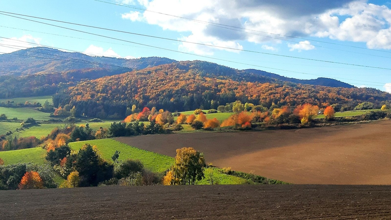
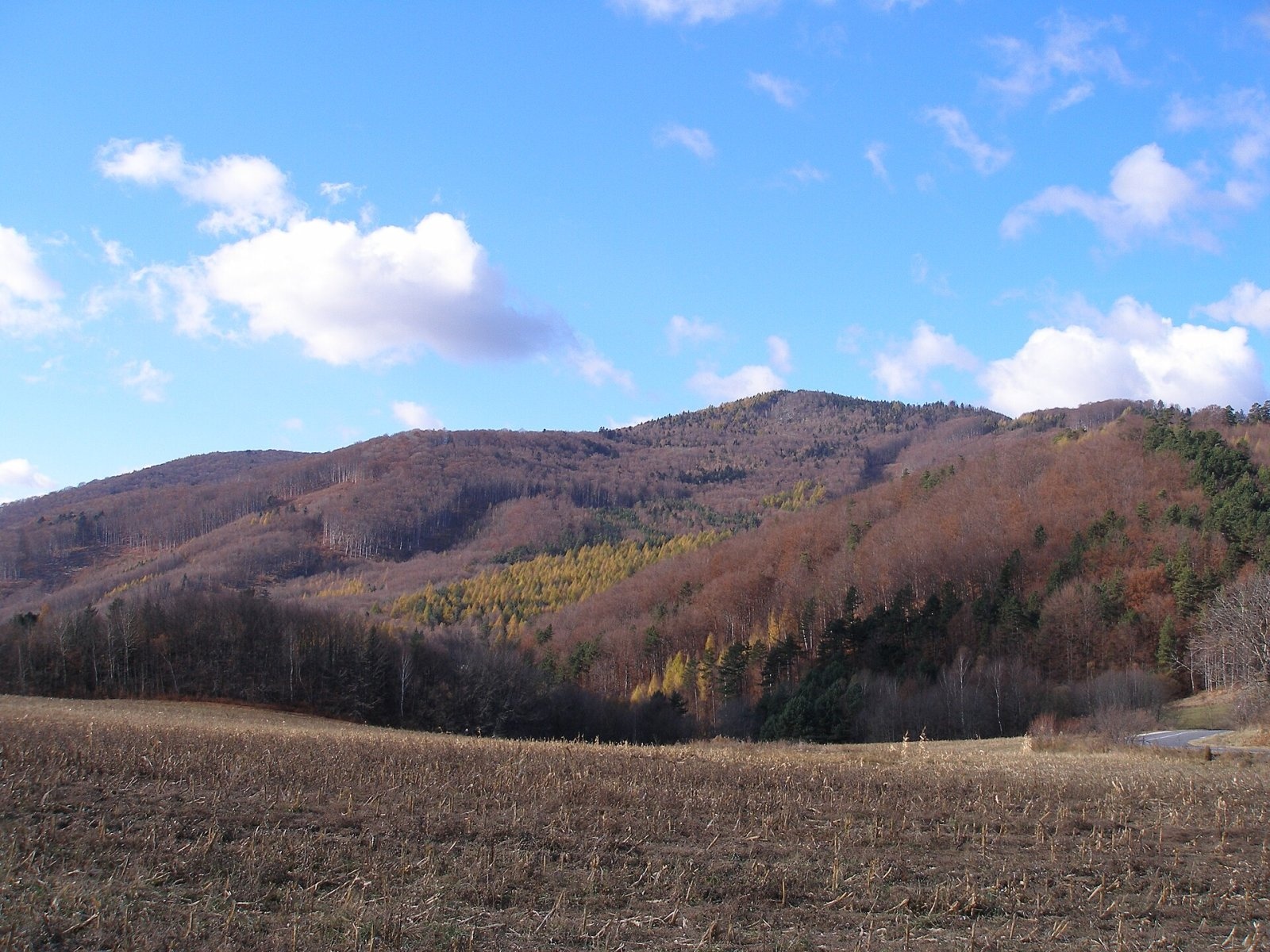
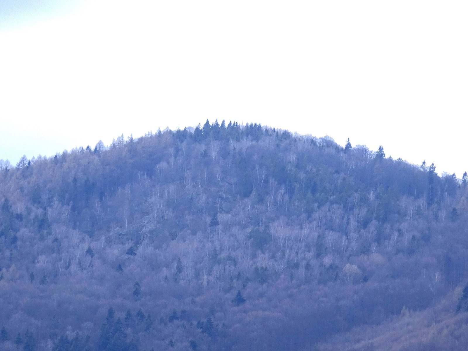
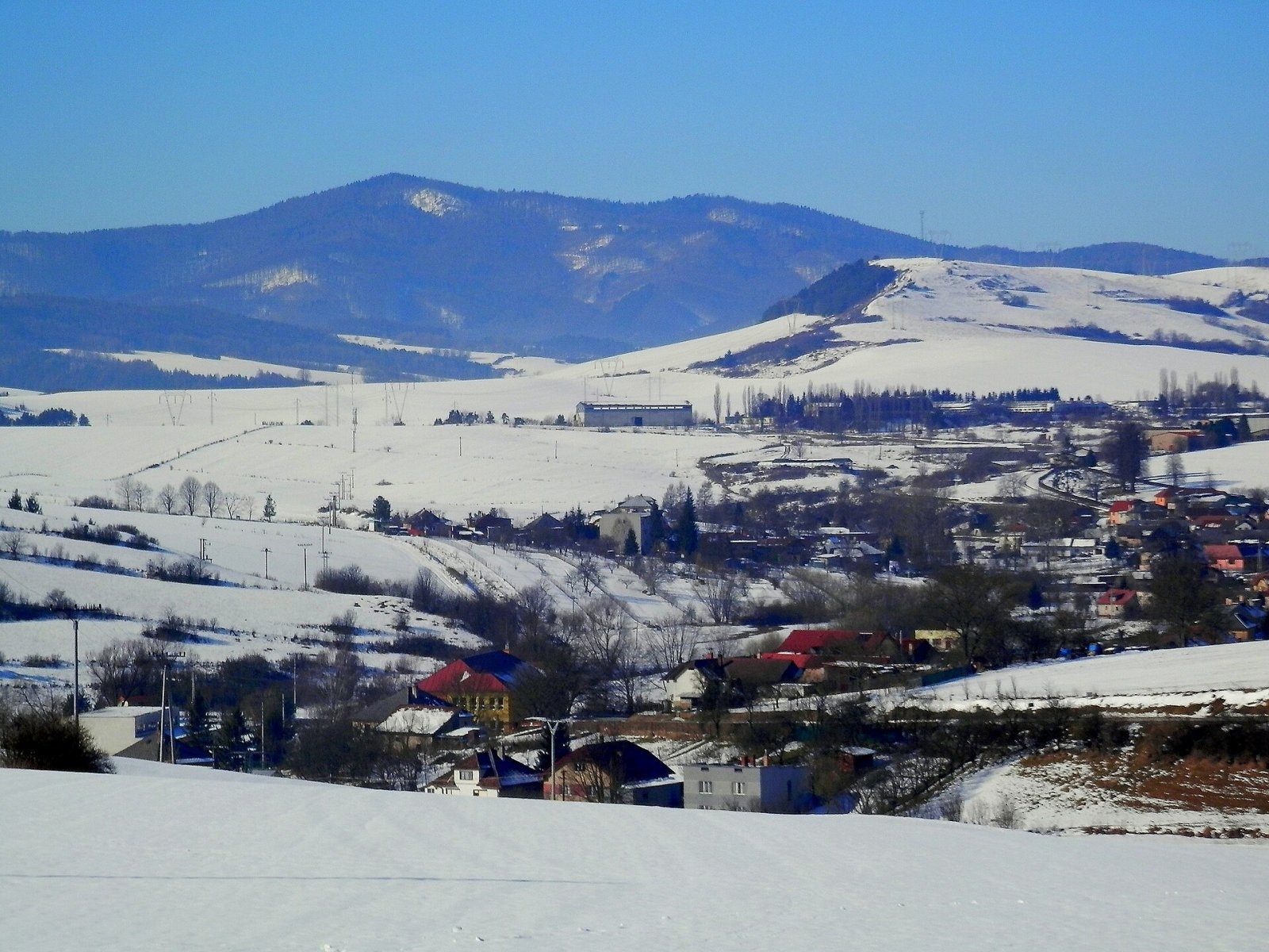
Roháčka is the highest summit of the Čierna hora hills, one of the units of the Slovak Ore Mountains in eastern Slovakia. It is 1028 m high and its prominence is about 500 m, so the mountain stands out clearly from Šariš and the Hornád valley. The summit lies about 3 km north of Margecany, on the border of the Prešov and Košice Regions and the Prešov and Gelnica Districts, in the cadastres of Klenov and Margecany. Around it lie Margecany to the south, Klenov to the east, Hrabkov to the north and Kluknava to the west; the closest are Klenov and Margecany (about 3 km).
Roháčka is part of a massive ridge on the northern edge of the Čierna hora. From it the crest continues north and north-west, where several tops exceed 900 m, and the only slightly lower summit of Čierna hora reaches 1024.5 m. The mountain is also called Talafús hill, after Jan Talafús of Ostrov, one of the leading captains of the Bohemian Brethren. Legend says he rested here on hunting trips; after the Hussite wars, in 1440, he came to Upper Hungary, and from 1442 he was captain of the nearby Richnava Castle.
How to get there / routes
- Blue trail (KST 2821) crosses the summit: from the east from Klenov – about 3.6 km and 433 m of ascent, roughly 2 h; from the west from Kluknava.
- Yellow trail (KST 8730) – from the south from Margecany; the shortest approach from the Hornád valley.
- A local yellow route of the Čierna hora tourism association also crosses the summit.
What you can see from the top
Tall forest covers the summit itself, so there is no view from it. Wide views open from the Rozsypaná skala rocks on the north-western slope, at about 1000 m: a belt of rock walls and huge piles of scattered boulders about 150 m long and 10–30 m high. A wooden statue and a cross stand on the rocks. From there you can see Branisko, the Šariš Highlands, Čergov and the Slanské vrchy, and in good weather part of the High and Low Tatras.
Nature and history
Beech and oak forests with raspberry thickets cover the slopes and the summit; a walk here is above all the quiet of dense forest and a wealth of birdsong. The south-western and eastern slopes drain to tributaries of the Hornád, the northern ones to tributaries of the Krížovianka, which flows into the Svinka. By the signpost on the summit a metal box holds the summit book – the mountain is visited quite often.
Safety, season and rules
The routes are wooded and easy, but at Rozsypaná skala keep away from the cliff edge and do not climb on unstable boulders. In winter the slopes are snowy and the days short – plan your time. There is no water on the summit. In Slovakia the Mountain Rescue Service (HZS) operates: 18 300 (+421 18 300); the general emergency number is 112.
Interesting facts
- Roháčka has a prominence of about 500 m – it is the main landmark of the Čierna hora.
- The mountain's second name recalls the Hussite captain Jan Talafús.
- The best view is not from the summit but from Rozsypaná skala with its cross and wooden statue.
Photos: Jozef Kotulič, CC BY 4.0; Jozef Kotulič, CC BY 2.5; Ing. Mgr. Jozef Kotulič, CC BY-SA 4.0; Ing.Mgr.Jozef Kotulič, CC BY-SA 4.0 — Wikimedia Commons.
Getting there from Ukraine
Border crossings
- Uzhhorod – Vyšné Nemecké — road, 24/7
- Malyi Bereznyi – Ubľa — road, 24/7 For cars and buses; pedestrians not confirmed by the Ukrainian border service, lorries up to 3.5 t.
- Mali Selmentsi – Veľké Slemence (pedestrian) — pedestrian, 09:00–21:00 Kyiv time Pedestrians and cyclists only; inconvenient for the Tatras without onward transport.
- Chop – Čierna nad Tisou (rail) — rail, 24/7
By car
From Uzhhorod ≈182 km, ≈2 h 45 min without queues: Uzhhorod – Vyšné Nemecké → I/19 via Sobrance and Michalovce to Košice → D1 motorway via Prešov to the exit near Levoča → road 533 to Spišská Nová Ves (≈177 km, ≈2 h 30 min from the border). From Lviv via Uzhok and Ubľa ≈407 km, ≈6 h 40 min; through Poland (Kraków – Nowy Targ) ≈496 km, ≈6 h 20 min. The D1 requires an e-vignette (eznamka.sk).
Checked 23.10.2026; border crossing hours and timetables change — check before you travel.
Location on the map
Water and shelter nearby
- Justynka Spring870 m · Not verified · 786 m
- Spring near the Trough1.9 km · Has water · 861 m
- Spring below Koľvek2.5 km · Not verified · 762 m
Comments
Trails nearby
All trails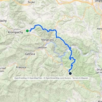 HardMulti-dayMarkedRichnava, stop Košická BeláElevation profile277–1 028 m35.9 kmascent 1 446 m≈ 12 h walkingunder 1 km from Roháčka
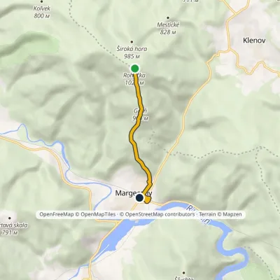 EasyOne-dayMarkedMargecany, station RoháčkaElevation profile335–1 028 m4.2 kmascent 6 m≈ 1 h walkingunder 1 km from Roháčka
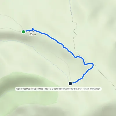 EasyOne-dayMarkedKoľvek Na žľabochElevation profile759–907 m2.1 kmascent 149 m≈ 45 min walking1.7 km from Roháčka
Nearby attractions
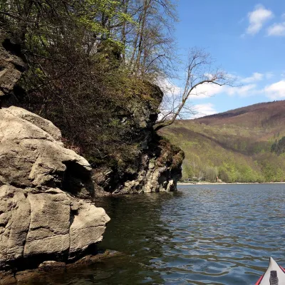 LakeRužín reservoir on the HornádMalá Lodina9.1 km from RoháčkaRužín is a reservoir on the Hornád river in the deep, winding valley of the Čierna hora hills, the north-eastern part of the Slovak Ore Mountains, a dozen or so...
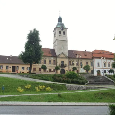 MuseumMining Museum in Gelnica and the Jozef AditGelnica9.9 km from RoháčkaThe Mining Museum in Gelnica (Banícke múzeum v Gelnici) is the town museum of an old mining town in the Hnilec valley, among the Volovské vrchy, part of the Slovak Ore...
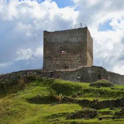 CastleŠariš Castle near PrešovVeľký Šariš19 km from RoháčkaŠariš Castle (Šarišský hrad) is one of the largest medieval fortresses in Slovakia: its built-up area exceeds 2.7 ha.
Craft nearby
All craft places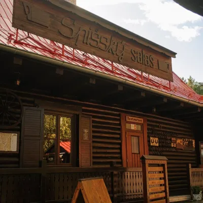 Koliby & Hutsul cuisineSpišský salaš below Spiš Castle: Spiš cooking since 1964Spišská Kapitula22 km from RoháčkaBetween Spiš Castle and Spišská Kapitula, at the edge of the plain below the travertine mound of Sivá brada, stands the wooden Spišský salaš.
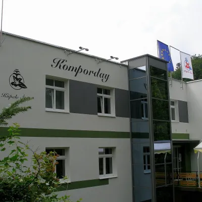 Water parks & thermal poolsŠtós spa: climatic cure, speleotherapy and poolŠtós28 km from RoháčkaKúpele Štós is a climatic spa in south-eastern Slovakia, in the settlement of Štós-kúpele a few kilometres north of the mining village of Štós, where the Volovské...
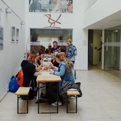 Crafts & workshopsÚĽUV Craft Centre Košice: craft workshops and folk-art shopBaška28 km from RoháčkaÚĽUV (Ústredie ľudovej umeleckej výroby, the Centre for Folk Art Production) is a state institution that has looked after Slovak folk crafts since 1945: it keeps a...
 Crafts & workshopsMacák Pottery on Košice’s Craft Lane: ceramics and coursesHrašovík29 km from RoháčkaHrnčiarska Street in Košice old town is known as the "Craft Lane" (Ulička remesiel): craftspeople work in small houses below the walls of the former town fortifications.
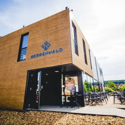 Craft beer & breweriesHerrenwald craft brewery, Malá Ida: tour with the brewerMalá Ida29 km from RoháčkaThe Herrenwald brewery stands in its Panský les ("Lords’ Wood") quarter, from whose German name it takes its own.
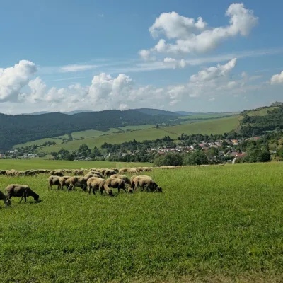 Cheese dairies & pasturesFarma Kamenica — Family Sheep Farm and Cheese Dairy in ŠarišKamenica31 km from RoháčkaKamenica is a village in northern Šariš, in the valley of the Kameničanka stream, at about 483 m above sea level.
