Minčol (Oravská Magura)
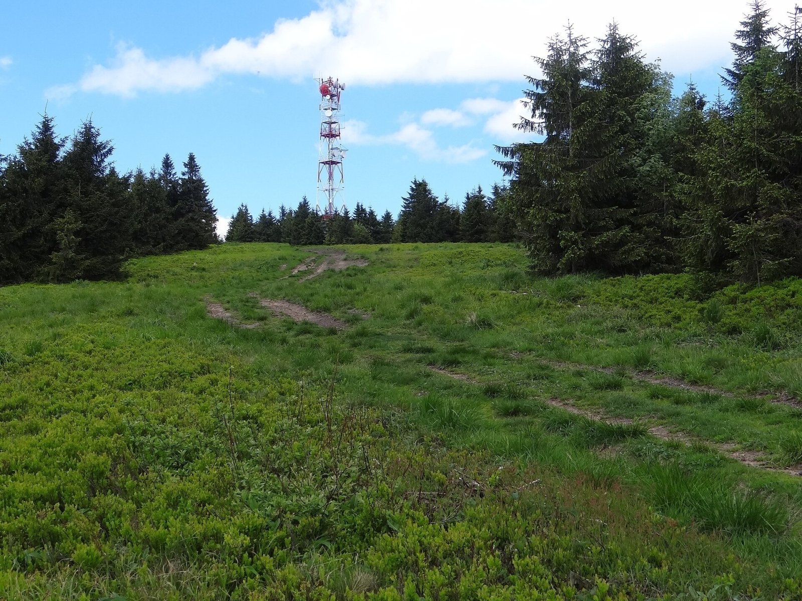
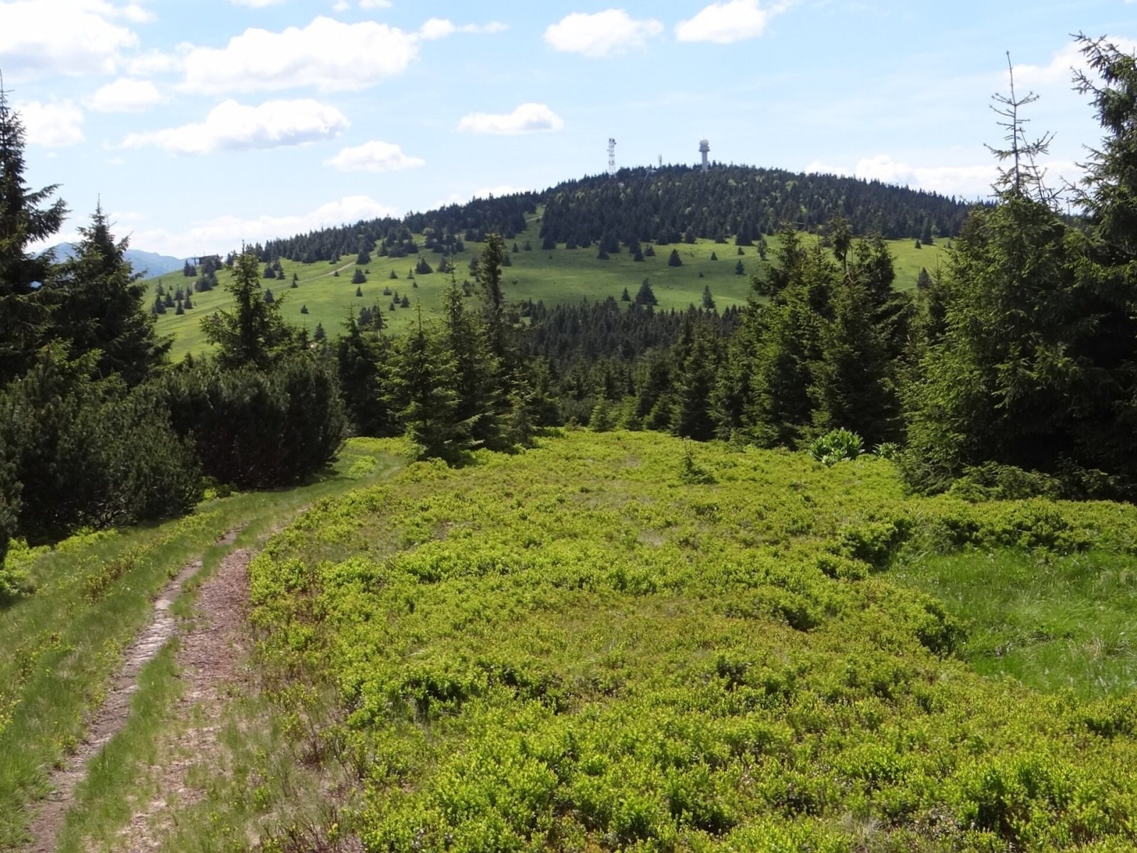
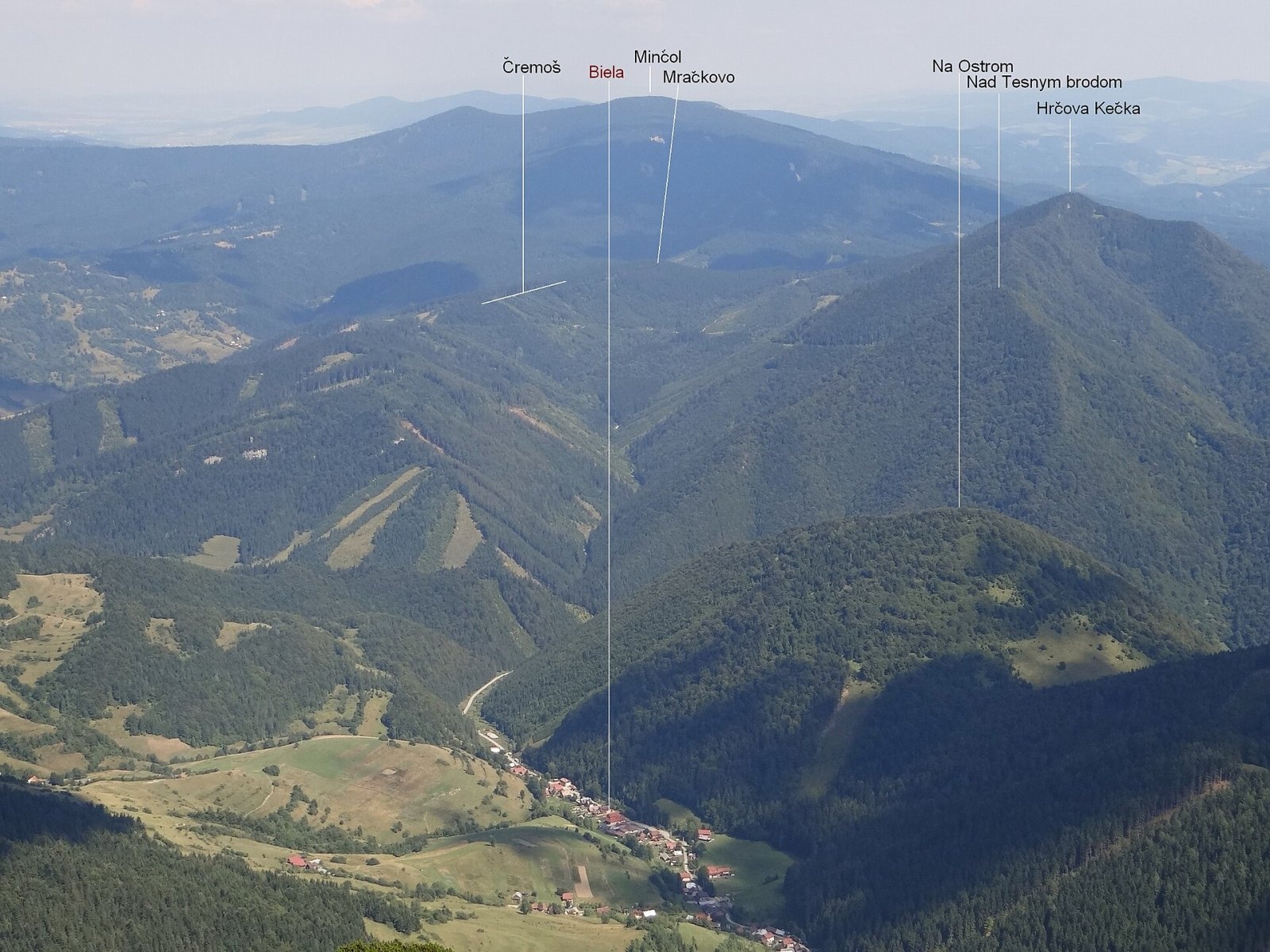
Minčol is the highest peak of the Oravská Magura range in northern Slovakia, 1394 m high. It lies in the south-western part of the range, in the Kubínska hoľa massif, directly above the town of Dolný Kubín, to whose cadastre it belongs (Žilina Region). The nearest settlements are Zázrivá to the west (about 7 km), Istebné and Dolný Kubín itself (about 7 km south-east). Do not confuse it with the Minčol in the Lúčanská Fatra – the name is common in the Carpathians; even within Oravská Magura there is a second, lower Minčol (1139 m) to the north.
Minčol marks the western end of the Kubínska hoľa ridge. A broad grassy saddle (about 1310 m) separates it from the Kubínska hoľa massif proper to the east. To the west runs a long spur with Rohoľa (1202 m), Hlasná skala (993 m) and Pavláškova skalka (928 m), dropping to the centre of Zázrivá. Several ridges branch south and descend gently to the Orava valley between Dolný Kubín and Veličná, and the mighty Paráč spur (1325 m) runs north. The slopes are drained by tributaries of the Zázrivka and Hruštínka and by the Lehotský potok, all in the Orava basin.
How to get there / routes
- Red trail (part of the European long-distance path E3 and the Eisenach–Budapest route): from Zázrivá via Hlasná skala – about 2 h 30 min up, 2 h down; from the Príslop pass over the top of Kubínska hoľa – 2 h 45 min, 2 h 30 min back.
- Blue trail: from Oravský Podzámok via Kubínska hoľa, or from the northern, lower Minčol (1139 m) – about 1 h, 45 min back.
- Green trail: from Dolný Kubín via Kubínska hoľa – 3 h 30 min up, 3 h down.
The broad ridge descending south-east from the summit holds the Kubínska hoľa ski resort; two of its lifts climb almost to the top.
What you can see from the top
The partly treeless summit offers distant views: besides the Oravská Magura peaks you see Dolný Kubín, the Lesser and Greater Fatra, the Western, High and Low Tatras, Veľký Choč and the Orava and Kysuce Beskids. Easy access and the panorama make Minčol a popular destination.
Nature and history
Like the whole Kubínska hoľa ridge, the summit has a harsh climate. In winter there is heavy snowfall, and frequent strong northerly winds pile up large drifts; rime forms fantastic shapes on the trees. The summit is covered with sparse spruce forest mixed with shrubby rowan. The spruces grow in scattered groups, low and battered by rime and snow, often with "flag" crowns. To the east, starting almost at the summit, a broad meadow with bilberry runs along the ridge. Two masts with radio relay transmitters stand on the top.
The western and northern parts of the massif belong to the Minčol national nature reserve: the upper part of the steep north-western slopes above the Zázrivka valley is covered with near-natural beech-fir and spruce forests, and protected plants grow at the sources of the Zázrivka. The slopes lie in the buffer zone of Malá Fatra National Park and in the Horná Orava Protected Landscape Area. On the north-eastern slopes, where impermeable bedrock makes the meadows and forest marshy in places, a small pond lies at about 1180 m in the hollow of an old landslide – the Puchmajerovo jazierko natural monument, protected since 1974.
Safety, season and rules
Strong wind is frequent on the ridge, and in winter drifts and rime make walking harder – winter gear is needed. In winter do not walk on the ski runs of the resort. In the reserve and the national park buffer zone stay on marked trails and do not pick plants. Slovak Mountain Rescue Service (HZS): 18 300 (+421 18 300); general emergency number 112.
Interesting facts
- Minčol is the highest peak of the whole Oravská Magura.
- Oravská Magura has two Minčols: the main one (1394 m) and a lower northern one (1139 m), about an hour's walk apart.
- The Puchmajerovo jazierko pond formed in the hollow of an old landslide.
Photos: Jerzy Opioła, CC BY-SA 4.0; Jerzy Opioła, CC BY-SA 4.0; Jerzy Opioła, CC BY-SA 3.0 — Wikimedia Commons.
Getting there from Ukraine
Border crossings
- Uzhhorod – Vyšné Nemecké — road, 24/7
- Malyi Bereznyi – Ubľa — road, 24/7 For cars and buses; pedestrians not confirmed by the Ukrainian border service, lorries up to 3.5 t.
- Mali Selmentsi – Veľké Slemence (pedestrian) — pedestrian, 09:00–21:00 Kyiv time Pedestrians and cyclists only; inconvenient for the Tatras without onward transport.
- Chop – Čierna nad Tisou (rail) — rail, 24/7
By car
From Uzhhorod ≈275 km, ≈3 h 35 min without queues: Uzhhorod – Vyšné Nemecké → I/19 to Košice → D1 motorway via Prešov, Poprad and Liptovský Mikuláš to Ružomberok (≈270 km, ≈3 h 25 min from the border). From Lviv it is faster through Poland: M-10 → Krakovets – Korczowa → A4 to Kraków → S7/DK7 to the Chyżne – Trstená border → R3 and I/59 via Dolný Kubín to Ružomberok: ≈482 km, ≈6 h 15 min (via Uzhok and Ubľa ≈500 km, ≈7 h 30 min). The D1 requires an e-vignette (eznamka.sk).
Checked 23.10.2026; border crossing hours and timetables change — check before you travel.
Location on the map
Water and shelter nearby
- Hut below Minčol90 m · Not verified · 1 386 m
- Hut on Kubínska hoľa1.4 km · Standing · 1 089 m
- Spring below Machovo2.7 km · Not verified · 780 m
Comments
Trails via Minčol (Oravská Magura)
All 1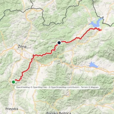
Nearby attractions
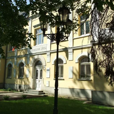 MuseumHviezdoslav Museum and Čaplovič Library, Dolný KubínDolný Kubín8.1 km from Minčol (Oravská Magura)Hviezdoslav Literary Exhibition and the Čaplovič Library (Literárna expozícia P. Hviezdoslava a Čaplovičova knižnica) form a museum in the centre of Dolný Kubín, the...
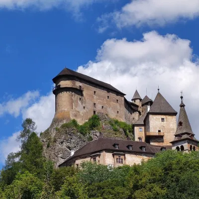 CastleOrava CastleOravský Podzámok8.1 km from Minčol (Oravská Magura)Orava Castle (Oravský hrad) stands on a sheer limestone rock above the Orava river in the village of Oravský Podzámok in northern Slovakia.
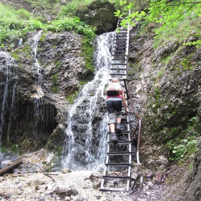 NatureJánošík's Holes (Jánošíkove diery)Terchová13 km from Minčol (Oravská Magura)Jánošíkove diery (Jánošík’s Holes), or simply Diery, is a system of narrow gorges and canyons in the Krivánska Malá Fatra near the village of Terchová, birthplace of...
Craft nearby
All craft places Cheese dairies & pasturesSalaš Syrex in Zázrivá — Home of the Zázrivá Korbáčik CheeseZázrivá10 km from Minčol (Oravská Magura)Zázrivá is a scattered mountain village on the border of Orava and the Malá Fatra, famous throughout Slovakia for its korbáčiky: thin strings of steamed cheese braided...
 Cheese dairies & pasturesSalaš Krajinka near RužomberokRužomberok18 km from Minčol (Oravská Magura)Salaš Krajinka is a genuine sheep farm on the edge of Ružomberok in lower Liptov. It was founded in 1983 to keep a thousand sheep, and the owners have deliberately...
 Water parks & thermal poolsLúčky Spa and AQUA-VITAL ParkLúčky19 km from Minčol (Oravská Magura)Lúčky Spa (Kúpele Lúčky) lies in a quiet valley beneath the Choč Mountains, in the village of Lúčky near Ružomberok.
 Craft beer & breweriesURSUS craft brewery, Čutkovská valleyRužomberok21 km from Minčol (Oravská Magura)URSUS craft brewery (Remeselný pivovar URSUS) is the first brewery of the town of Ružomberok, tucked away in the picturesque Čutkovská valley in lower Liptov.
 Water parks & thermal poolsBešeňová Water ParkBešeňová24 km from Minčol (Oravská Magura)Bešeňová — the "thermal heart of Liptov" Bešeňová Water Park (Vodný park Bešeňová) lies on the edge of the village of the same name in the western part of the Liptov...
 Koliby & Hutsul cuisineSalaš Dechtáre above Liptovská MaraGalovany28 km from Minčol (Oravská Magura)Salaš Dechtáre is a wooden koliba above the Liptovská Mara reservoir that is described as one of Slovakia’s first commercial salaš restaurants.
