Cieślar
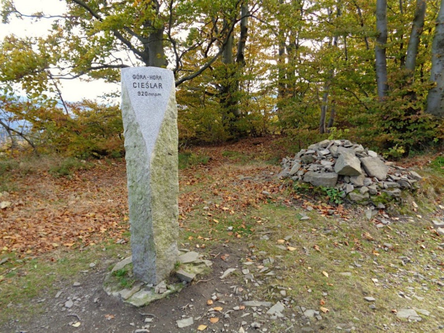
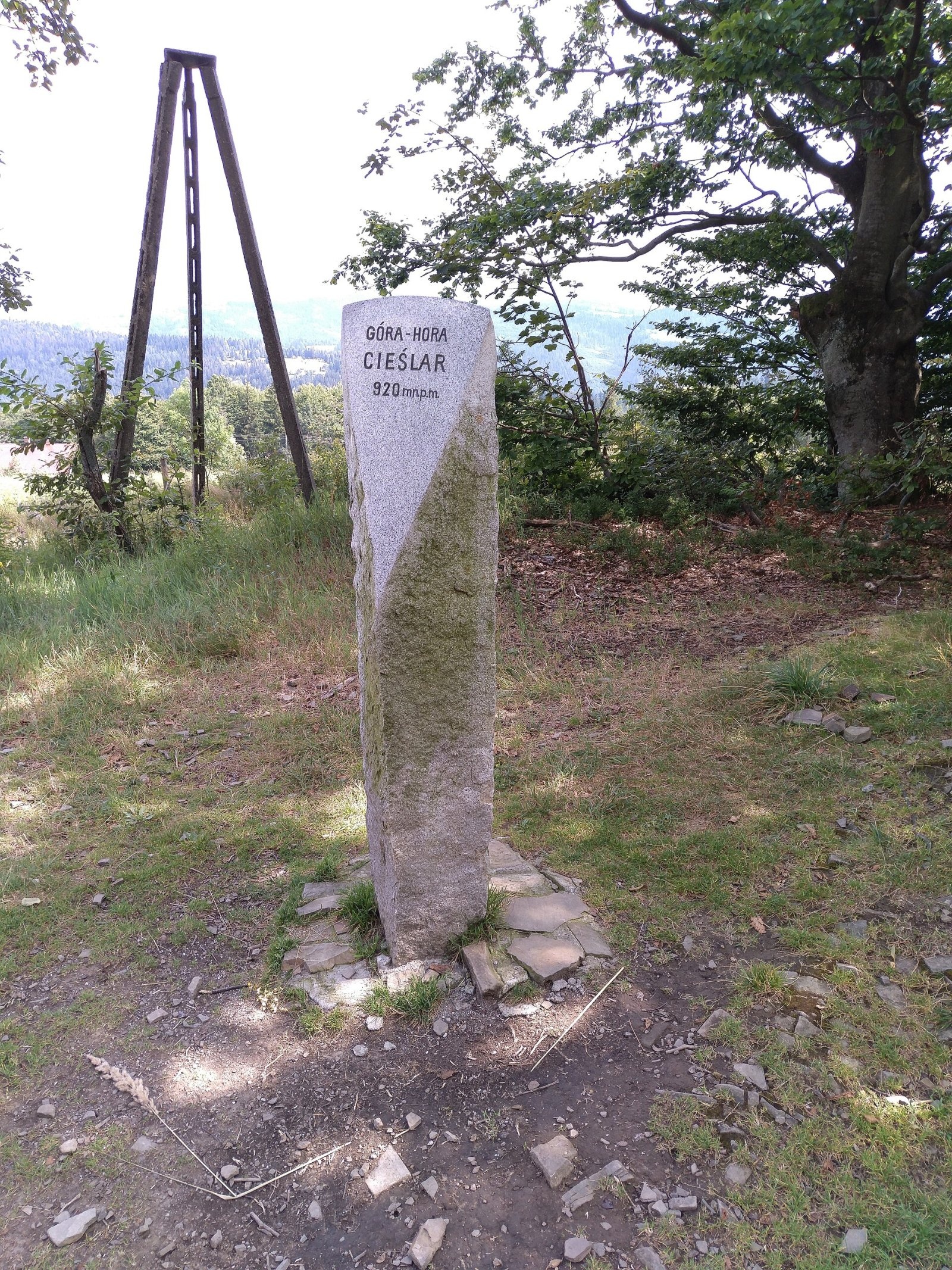
Cieślar (Czech Česlar) is a summit of about 920 m in the Silesian Beskids, on the main ridge of the Stożek–Czantoria range. It lies between Wielki Soszów to the north and Mały Stożek to the south. The Polish–Czech border runs over the summit: the Polish part belongs to the town of Wisła in Cieszyn County, Silesian Voivodeship, the Czech part to Nýdek in the Frýdek-Místek District. The centre of Wisła is about 5 km away, Nýdek 6 km and the Czech town of Jablunkov 6.5 km.
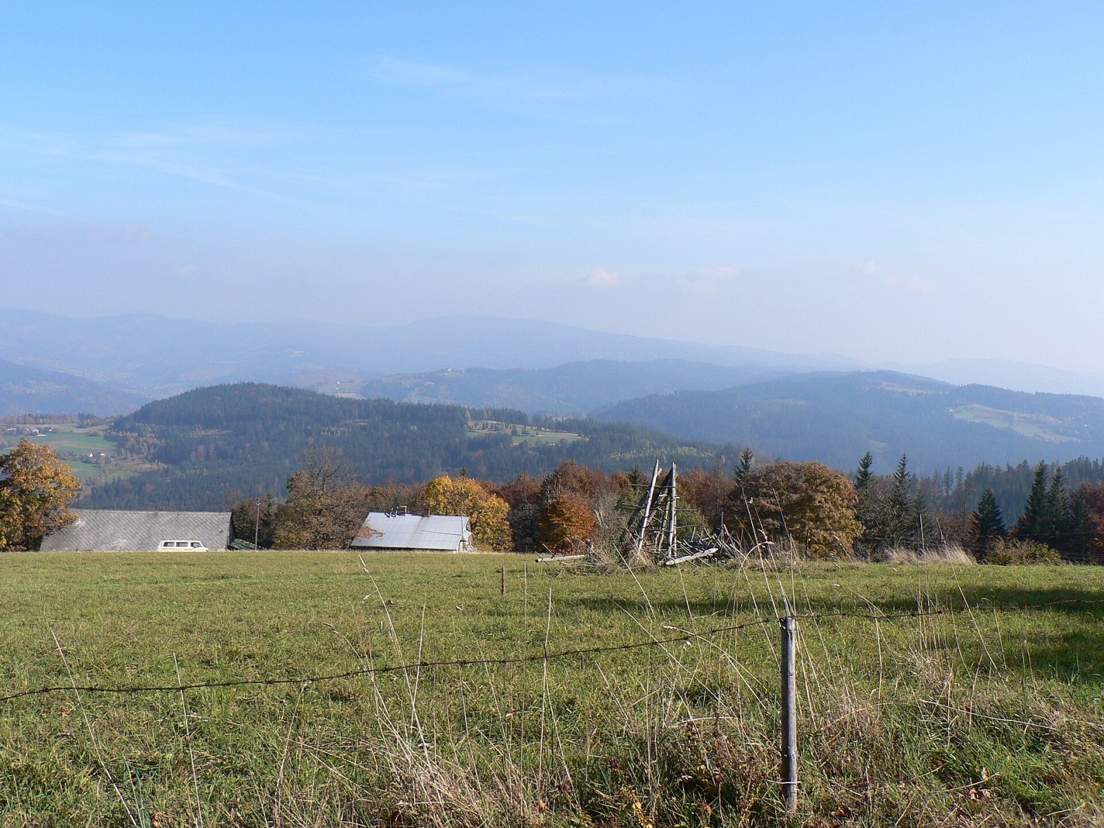
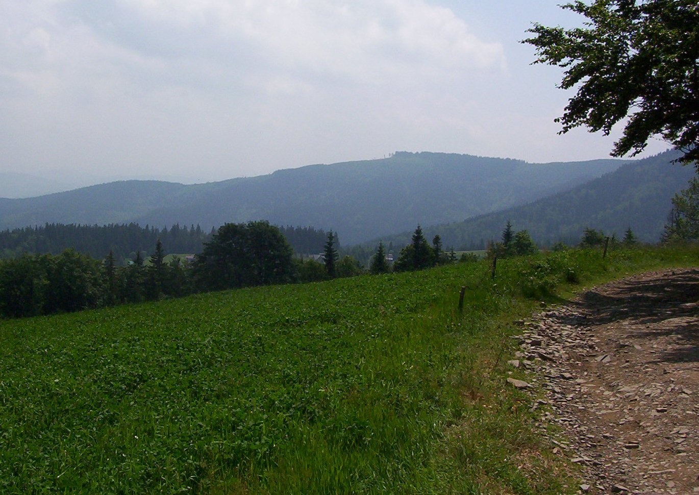
The Polish part of the mountain lies in the fork of the Dziechcinka stream and its tributary. Unlike most summits of the Silesian Beskids, Cieślar's top is not wooded but covered with meadows — which is why it is known for its views and is a popular hiking goal. According to Wikidata, its topographic prominence is about 114 m and the nearest higher summit lies some 1.8 km away.
How to get there / trails
Several marked trails run over the summit along the border:
- the red PTTK Main Beskid Trail, the longest trail of the Polish Beskids, leading from Ustroń to Wołosate in the Bieszczady;
- the blue Czech ridge trail on the other side of the border;
- the yellow Czech long-distance Via Czechia trail (the «Slezskem» section through the Silesian Beskids);
- a red PTTK ski-touring route.
A convenient approach is the red trail from Wisła via Wielki Soszów, on whose slope, about 2 km from the summit, stands the Soszów mountain hut. To the south the same trail continues over Mały Stożek (about 1 km) to Wielki Stożek (about 2 km).
The view from the top
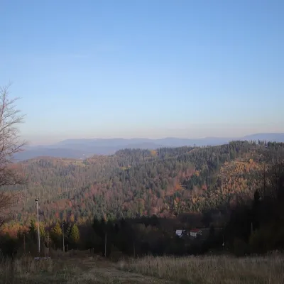
Cieślar offers an almost circular panorama, taking in practically all of the Silesian Beskids and the southern part of the Moravian-Silesian Beskids, and on the other side the lowlands of Silesia and Czechia. Photos from the summit show, among others, Kobyła and the Barania Góra range to the east, and the Kiczory summit with the slope of Wielki Stożek.
Nature and the name
The mountain is named after the surname Cieślar. As early as 1621, shortly after the village of Wisła was founded, four families of that name were recorded there, and it is still one of the most common surnames in Wisła. The summit meadows are typical of this part of the ridge, where most neighbouring tops are wooded. A granite post on the summit bears the bilingual inscription «Góra – Hora Cieślar, 920 m n.p.m.».
Safety, season and rules
Cieślar is a low, easily accessible mountain, but the ridge is exposed to wind, and in winter there is snow and a marked ski route. Mountain rescue on the Polish side is GOPR: 985 or +48 601 100 300; on the Czech side the Horská služba: 1210; emergency number 112. The border lies within the Schengen area and can be crossed freely on marked trails, but carry an identity document.
Photos: PetrSajdok, CC BY-SA 4.0; MichalPL, CC BY-SA 4.0; Krzysztof Dudzik-Górnicki (User:ToSter), CC BY 3.0; Michalmily at Polish Wikipedia, CC BY 2.5 — Wikimedia Commons.
Getting there from Ukraine
Border crossings
- Krakovets – Korczowa — road, 24/7
- Shehyni – Medyka — road, 24/7 Pedestrian crossing is not confirmed by the Ukrainian border service — check dpsu.gov.ua before the trip.
- Smilnytsia – Krościenko — road, 24/7
- Hrushiv – Budomierz — road, 24/7
- Mostyska – Przemyśl (rail) — rail, 24/7
By car
Lviv – Żywiec ≈412 km, ≈5 h 30 min without queues or tolls: M-10 → Krakovets – Korczowa → A4 to Kraków (≈249 km) → DK52 via Wadowice → DW781 and DW946 to Żywiec. ≈333 km, ≈4 h from the border. Alternative via the tolled A4 Kraków – Katowice and the S1 via Tychy and Bielsko-Biała: ≈457 km, ≈5 h 25 min.
Checked 23.10.2026; border crossing hours and timetables change — check before you travel.
Location on the map
Water and shelter nearby
- PTTK Shelter on Mały Stożek860 m · Standing · 824 m
- Soszów Hut1.9 km · Standing · 792 m
- Stożek PTTK Hut2.1 km · Standing · 979 m
Comments
Trails nearby
All trails HardMulti-dayMarkedMain Trail of BeskidyElevation profile309–1 723 m499.9 kmascent 19 519 munder 1 km from Cieślar
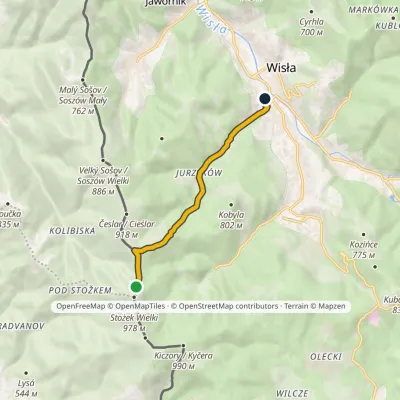 EasyOne-dayMarkedWisła Dziechcinka station Stożek MałyElevation profile449–902 m6.4 kmascent 28 m≈ 1.5 h walkingunder 1 km from Cieślar
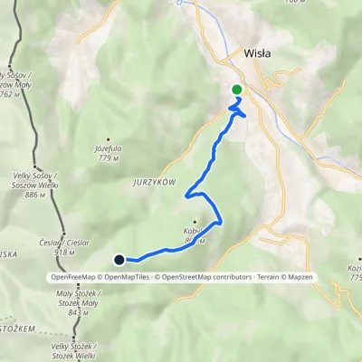 EasyOne-dayMarkedWisła Dziechcinka station Kobyla SałaszElevation profile449–780 m6.2 kmascent 370 m≈ 2.5 h walking1.1 km from Cieślar
Nearby attractions
 PeakSoszów WielkiJawornikaltitude 886 m1.4 km from CieślarSoszów Wielki (Czech Velký Sošov) is an 886 m summit in the Stożek–Czantoria range of the Silesian Beskids.
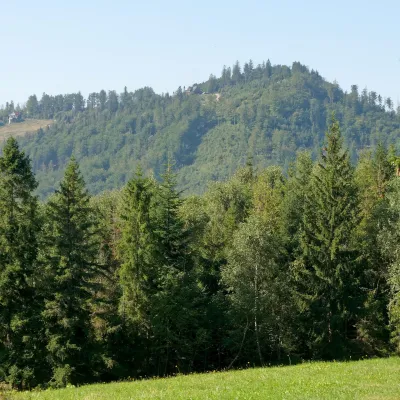 PeakStożek WielkiIstebnaaltitude 978 m2 km from CieślarStożek Wielki (Czech: Velký Stožek, "big cone") is a 978 m summit in the Silesian Beskids on the Polish–Czech border.
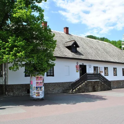 MuseumBeskid Museum in WisłaWisła4.5 km from CieślarThe Andrzej Podżorski Beskid Museum (Muzeum Beskidzkie im. Andrzeja Podżorskiego) is an ethnographic museum in the very centre of Wisła, a resort town in the Silesian...
Craft nearby
All craft places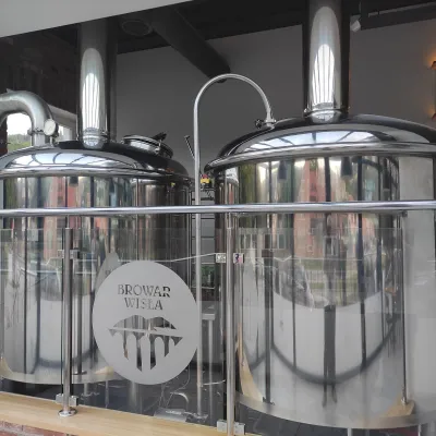 Craft beer & breweriesBrowar Wisła: craft brewpub in Wisła's old railway stationWisła4.7 km from CieślarBrowar Wisła is a brewpub in the heart of the Silesian Beskids, in the spa town of Wisła, where Poland's longest river of the same name rises.
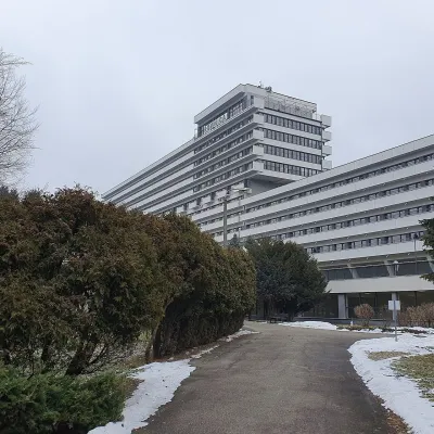 Water parks & thermal poolsUstroń spa: brine, peat and brine poolsUstroń11 km from CieślarUstroń is the only spa of the Silesian Beskids: the town lies where the Vistula valley leaves the mountains, between the ridges of Równica (884 m) and Czantoria Wielka...
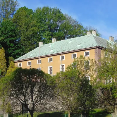 Craft beer & breweriesArchducal Castle Brewery, Cieszyn: 180 years of beer and rock cellarsCieszyn20 km from CieślarThe Archducal Castle Brewery in Cieszyn (Arcyksiążęcy Browar Zamkowy Cieszyn) is one of the oldest working breweries in Poland and one of the most valuable monuments...
 Cheese dairies & pasturesRaková farm in Kysuce: bryndza, žinčica and cheese cakesRaková21 km from CieślarKysuce is a hilly region in north-western Slovakia, near the Polish and Czech borders, with scattered hillside hamlets (“kopanice”) and an old tradition of keeping...
 Cheese dairies & pasturesBacówka na Bukowinie, Żabnica: sheep's cheese and alpacasWęgierska Górka22 km from CieślarBacówka na Bukowinie stands on a slope above the village of Żabnica, next to Węgierska Górka, where the Żywiec Beskids meet the Silesian Beskids.
 Water parks & thermal poolsAquapark Leśna (Żywiec)Leśna24 km from CieślarAquapark Leśna (also called Aquapark Żywiec) is a swimming-pool complex in the village of Leśna, a few kilometres from Żywiec, in the Żywiec Basin, surrounded by the...
