Gibasów Wierch
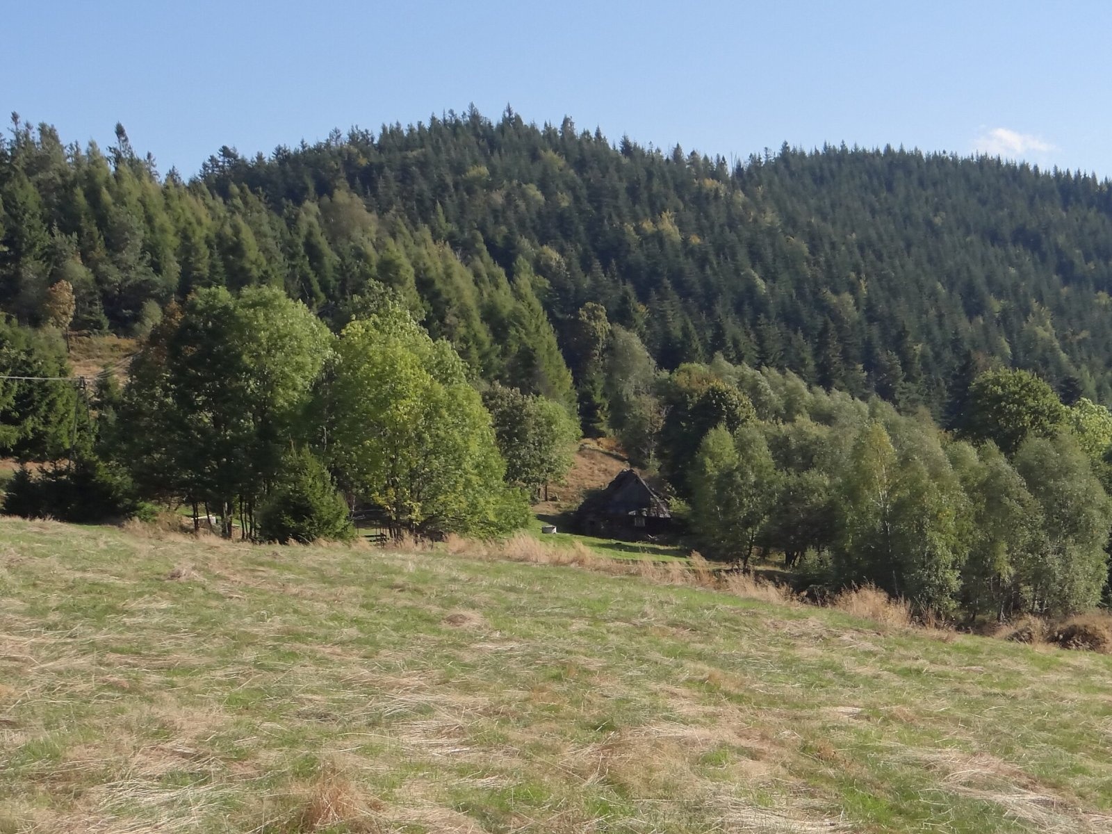
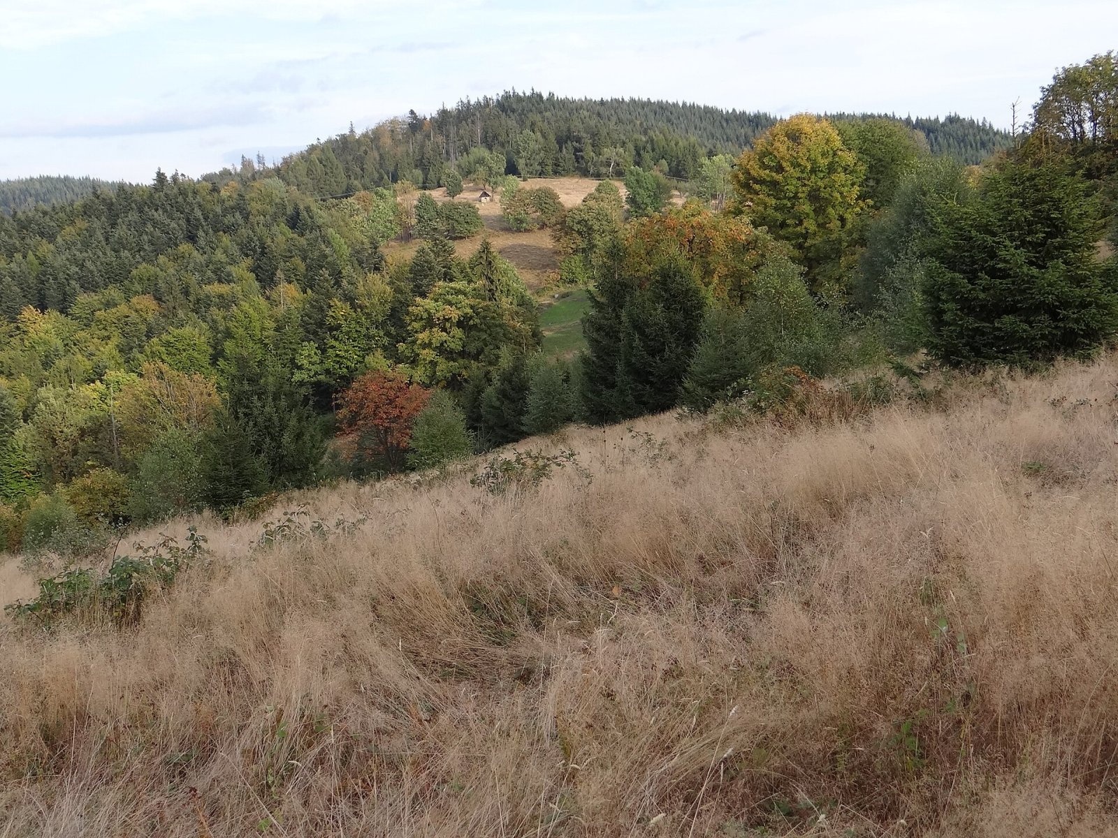
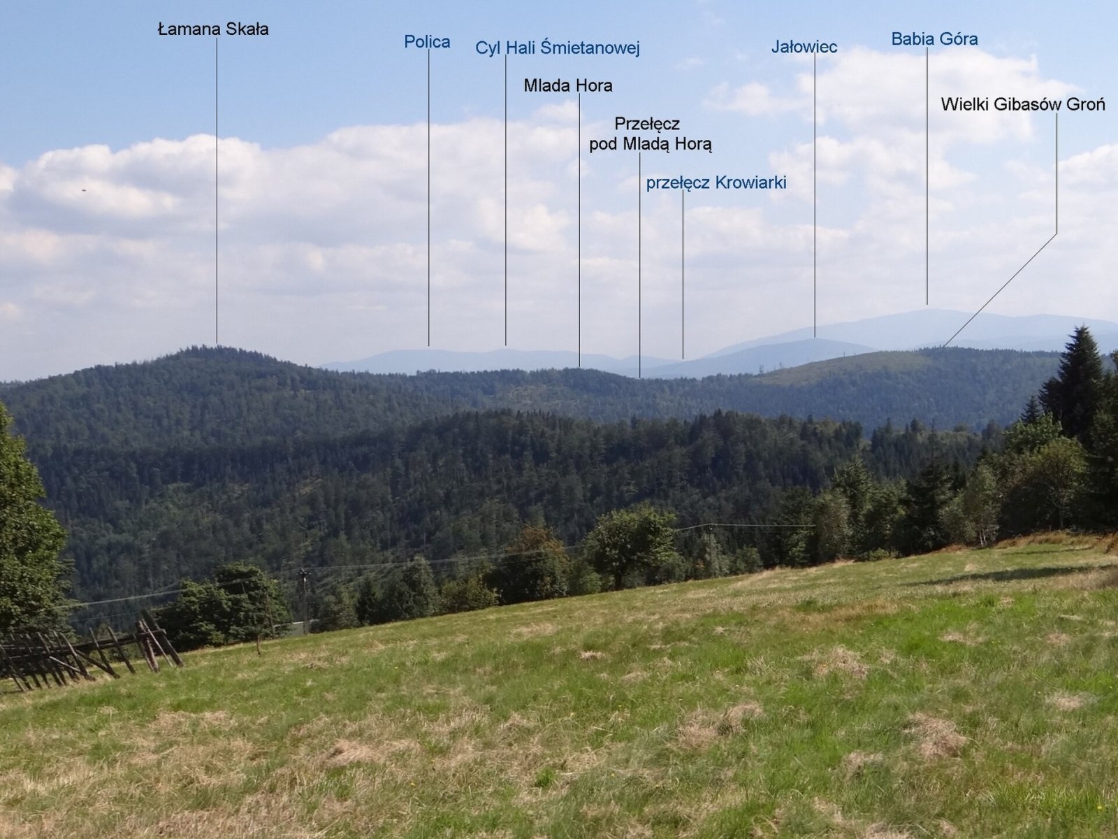
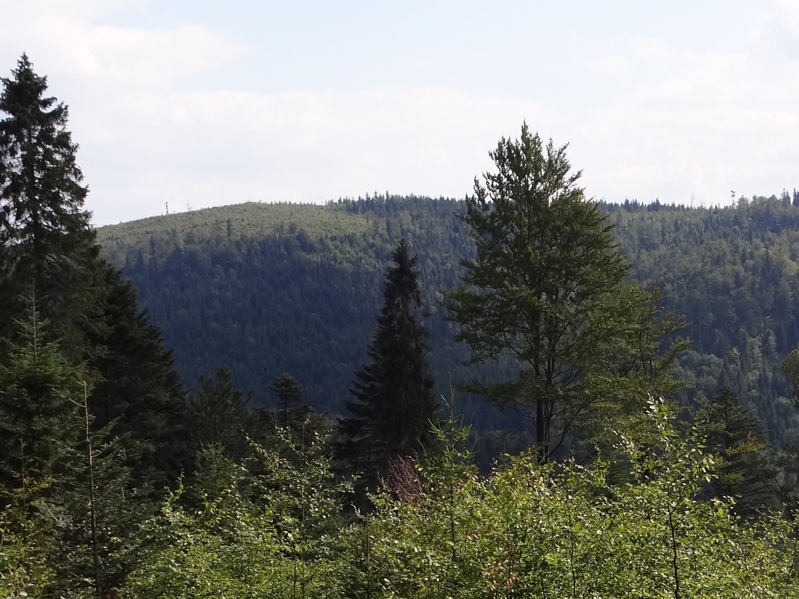
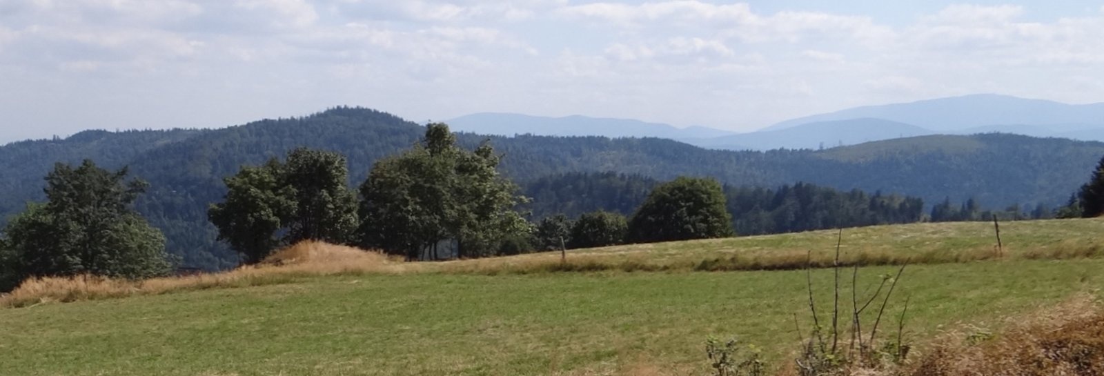
Gibasów Wierch (also Wielki Gibasów Groń) is an 890 m summit in the Łamana Skała range of the Little Beskids (more precisely in its part called the Łysina range) in southern Poland. The boundary between the villages of Kocoń and Ślemień (Ślemień municipality, Żywiec County, Silesian Voivodeship) runs along its south-eastern slope at the edge of the glade. Kocoń is about 3.1 km away, Ślemień 4 km and Krzeszów 7.2 km.
The summit is a junction of three ridges: west via Gibasowe Siodło to Gibasówka (841 m), north-east to Madohora (873 m), and south via the Czarny Dział pass along Góra Pietraszowa (814 m). The watershed between the Soła and Skawa basins runs along Góra Pietraszowa and over the summit. The slopes descend to three valleys: the south-western ones to the Młyńszczanka valley, the northern ones to the Kocierzanka valley (both in the Soła basin), and the south-eastern ones to the Krzywy Potok valley (Skawa basin).
Getting there / trails
A green trail crosses the summit: Kocierz Rychwałdzki – Łysina – Płonna pass – Kucówki – Czarne Działy – Gibasówka – Gibasów Wierch – pass below Madohora – Madohora – Anula junction – Smrekowica – Suwory – Krzeszów. In OpenStreetMap this is the PTTK route "Gaiki – Sucha Beskidzka", passing about 95 m from the summit. Polish Wikipedia gives no walking times. On the western slope, on the Gibasy glade, stands the Chatka Gibasówka hut, and about 1.9 km from the summit, per OpenStreetMap, the Chatka pod Potrójną.
What you can see from the top
The summit was once wooded; the trees were later cut, which made it a viewpoint, but it is now overgrowing again. The best views are from the Gibasy glade and from neighbouring Potrójna, which shows the ridge from Łamana Skała to Wielki Gibasów Groń well.
Nature and name
Local people called both summits on either side of the Gibasy glade and hamlet the Gibasowe Gronie. To help hikers tell them apart, the mountain tourism committee of the PTTK branch in Wadowice gave them new names in 1981: the western one became Mały Gibasów Groń and the eastern one Wielki Gibasów Groń. The latter name also appears on the Compass map, but on the state Geoportal map, based on the national register of geographical names, the summit is called Gibasów Wierch. According to OpenStreetMap, there is a spring called Zimna Woda about 2.2 km from the summit.
Safety, season and rules
The green trail is an easy forest path that can be walked all year round; in winter the Little Beskids ridge holds snow, and in fog it is easy to take the wrong branch at junctions. The summit is not in a national park; make no fires outside designated places and leave no litter. Mountain rescue: GOPR, 985 or +48 601 100 300; the general emergency number is 112.
Photos: Jerzy Opioła, CC BY-SA 4.0; Jerzy Opioła, CC BY-SA 4.0; Jerzy Opioła, CC BY-SA 4.0; Jerzy Opioła, CC BY-SA 4.0; Jerzy Opioła, CC BY-SA 4.0 — Wikimedia Commons.
Getting there from Ukraine
Border crossings
- Krakovets – Korczowa — road, 24/7
- Shehyni – Medyka — road, 24/7 Pedestrian crossing is not confirmed by the Ukrainian border service — check dpsu.gov.ua before the trip.
- Smilnytsia – Krościenko — road, 24/7
- Hrushiv – Budomierz — road, 24/7
- Mostyska – Przemyśl (rail) — rail, 24/7
By car
Lviv – Żywiec ≈412 km, ≈5 h 30 min without queues or tolls: M-10 → Krakovets – Korczowa → A4 to Kraków (≈249 km) → DK52 via Wadowice → DW781 and DW946 to Żywiec. ≈333 km, ≈4 h from the border. Alternative via the tolled A4 Kraków – Katowice and the S1 via Tychy and Bielsko-Biała: ≈457 km, ≈5 h 25 min.
Checked 23.10.2026; border crossing hours and timetables change — check before you travel.
Location on the map
Water and shelter nearby
- Spring below Gibasów Wierch490 m · Not verified · 843 m
- Gibasówka Hut (Lutecja)880 m · Standing · 805 m
- Gibasówka Hut (at Stach's)1000 m · Standing · 802 m
- Hut under Potrójna1.9 km · Standing · 800 m
- Zimna Woda Spring, 827 m2.2 km · Not verified · 827 m
Comments
Trails nearby
All trails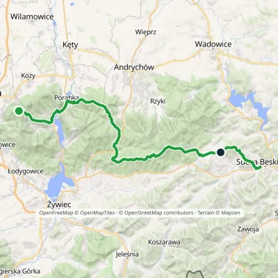 HardMulti-dayMarkedGaiki Sucha BeskidzkaElevation profile301–896 m51 kmascent 2 273 munder 1 km from Gibasów Wierch
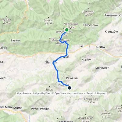 ModerateOne-dayMarkedHucisko Łamana SkałaElevation profile455–896 m12.5 kmascent 310 m≈ 3.5 h walkingunder 1 km from Gibasów Wierch
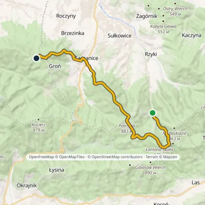 ModerateTwo-dayMarkedFrys Family TrailElevation profile398–910 m17.1 kmascent 849 m≈ 6 h walking1.3 km from Gibasów Wierch
Nearby attractions
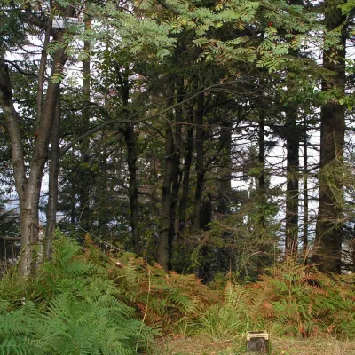 PeakŁamana SkałaLasaltitude 929 m1.3 km from Gibasów WierchŁamana Skała (on many maps also called Madohora) is a 929 m mountain in the Little Beskids (Beskid Mały) in southern Poland.
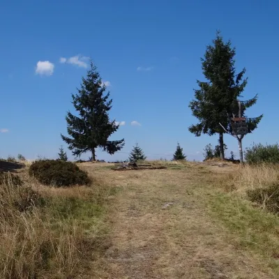 PeakPotrójnaRzykialtitude 883 m3.2 km from Gibasów WierchPotrójna is a twin-topped mountain in the Andrychów Beskids, the eastern part of the Little Beskids (Beskid Mały).
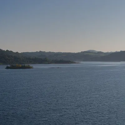 LakeLake Mucharz (Jezioro Mucharskie)Świnna Poręba13 km from Gibasów WierchLake Mucharz (Jezioro Mucharskie) is the youngest large reservoir of the Polish Carpathians. It lies on the Skawa river among the hills of the Beskid Mały, in the...
Craft nearby
All craft places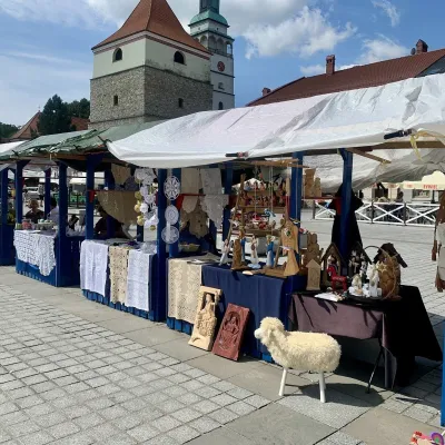 Markets & fairsFolk Art Fair in Żywiec during the Beskidy Week of CultureŻywiec15 km from Gibasów WierchThe Beskidy Highlanders' Week of Culture (Tydzień Kultury Beskidzkiej, TKB) is Poland's largest folklore festival: it was first held in Wisła in 1964, and today, at...
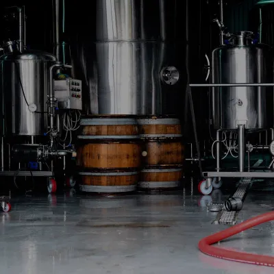 Craft beer & breweriesBrowar Zarzecze in the Żywiec Basin: craft brewery shopZarzecze16 km from Gibasów WierchBrowar Zarzecze works in the village of Zarzecze near Pietrzykowice in the Żywiec Basin — a region where beer has been brewed since at least the 19th century and home...
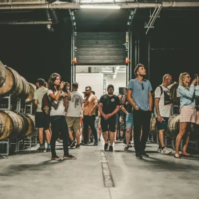 Craft beer & breweriesPINTA Brewery, Wieprz near Żywiec: tours and taproomWieprz19 km from Gibasów WierchPINTA is the brewery that Poles associate with the start of the “beer revolution”; it calls itself the country's first craft brewery.
 Water parks & thermal poolsAquapark Leśna (Żywiec)Leśna20 km from Gibasów WierchAquapark Leśna (also called Aquapark Żywiec) is a swimming-pool complex in the village of Leśna, a few kilometres from Żywiec, in the Żywiec Basin, surrounded by the...
 Cheese dairies & pasturesBacówka na Bukowinie, Żabnica: sheep's cheese and alpacasWęgierska Górka26 km from Gibasów WierchBacówka na Bukowinie stands on a slope above the village of Żabnica, next to Węgierska Górka, where the Żywiec Beskids meet the Silesian Beskids.
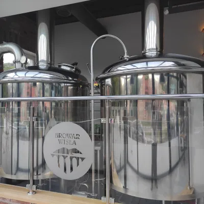 Craft beer & breweriesBrowar Wisła: craft brewpub in Wisła's old railway stationWisła40 km from Gibasów WierchBrowar Wisła is a brewpub in the heart of the Silesian Beskids, in the spa town of Wisła, where Poland's longest river of the same name rises.
