Zębalowa
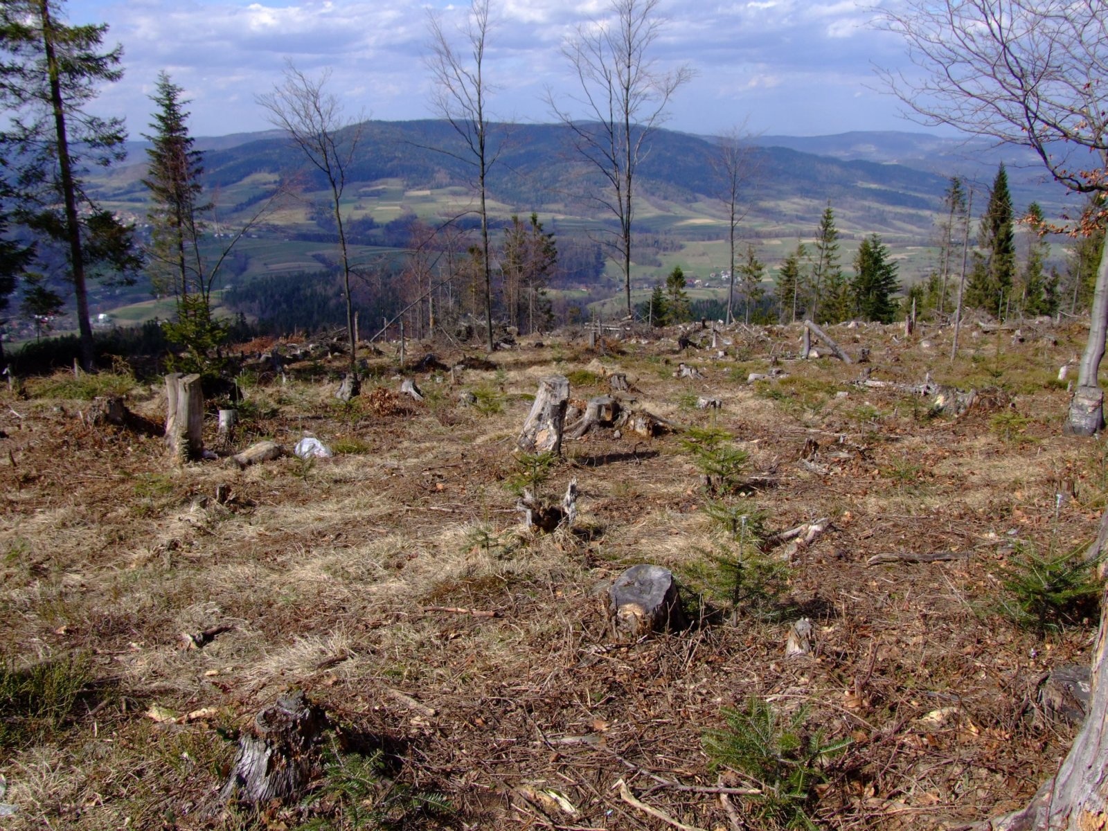
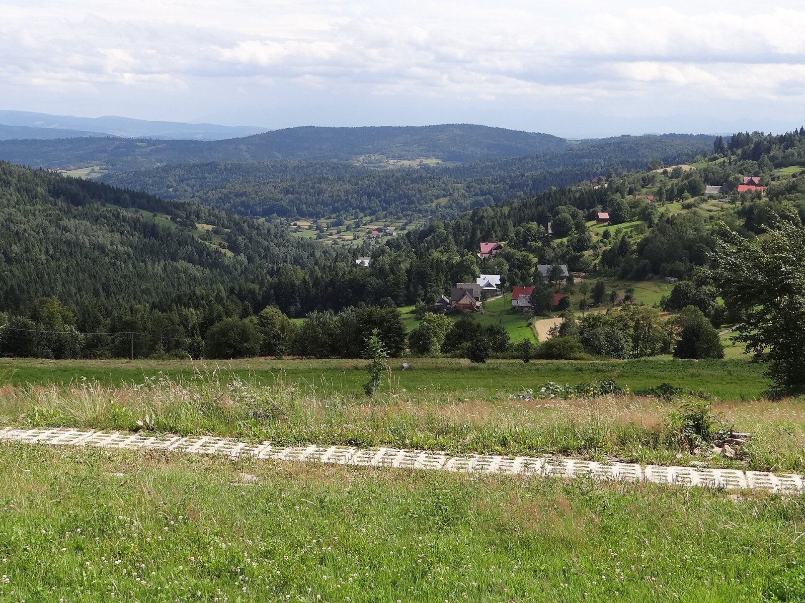
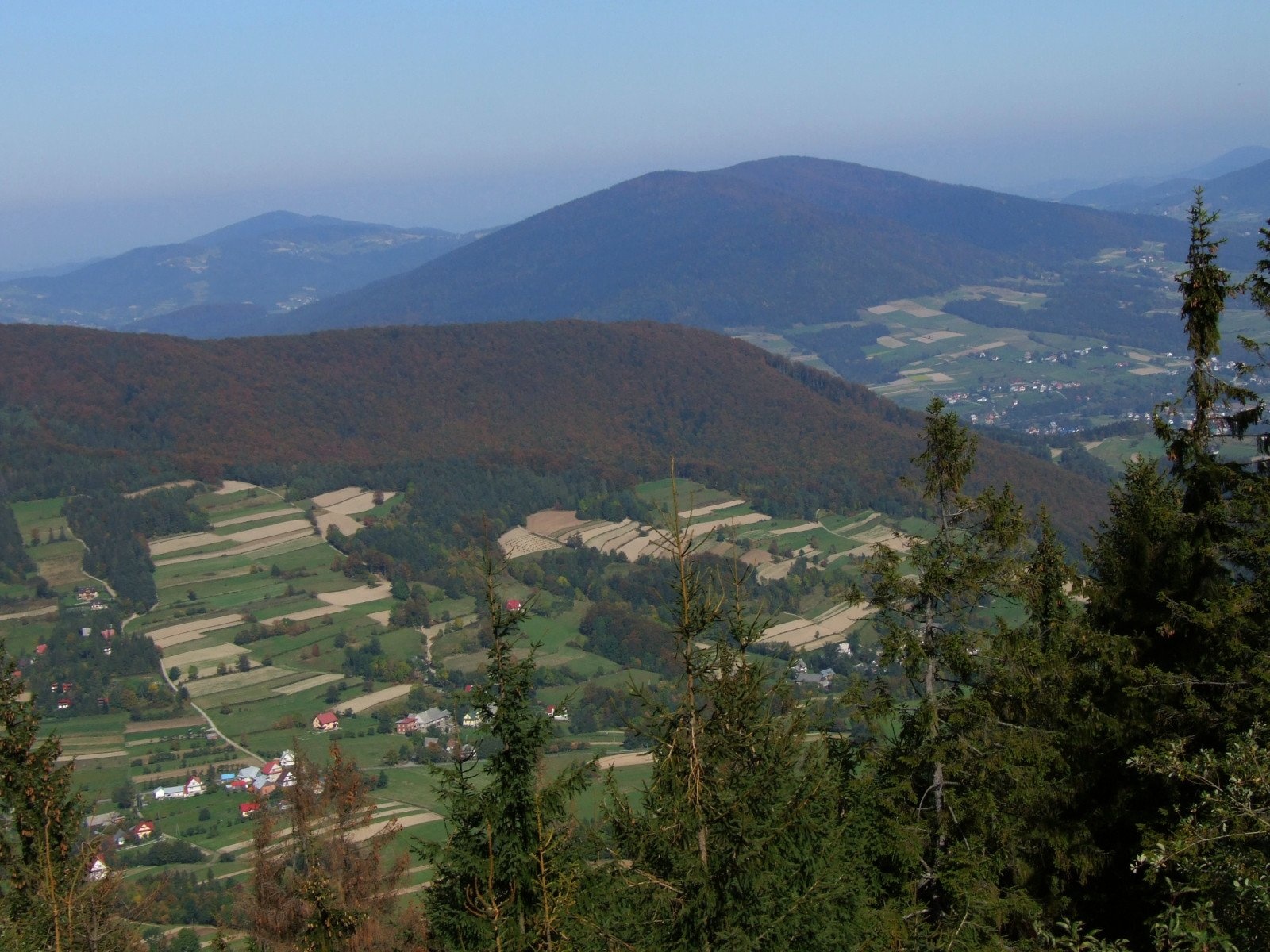
Zębalowa (locally Zębolowa) is a broad 854 m summit and a mountain massif of the same name in the north-western part of the Island Beskids (Beskid Wyspowy) in southern Poland, in Myślenice County of the Lesser Poland Voivodeship. The massif forms a distinct "island", almost entirely surrounded by the valleys of three rivers — the Krzczonówka, the Raba and the Smugawka; only to the south-west does it fall to the Naprawa plateau. Zębalowa rises above the villages of Krzeczów (about 2.8 km from the summit), Tokarnia (3.1 km), Krzczonów (3.2 km), Lubień (4.6 km) and Łętownia.
The massif is mostly forested, with only the foothills used for fields and houses. It also includes Leśniakówka (702 m), Cymbałowa (823 m), Urbania Góra (674 m), Pawlikowa (596 m), Cyrla (666 m), Surgowa (562 m), Chobocia Góra (579 m) and Hola (666 m). The Tokarnia Calvary lies on the north-western slopes of Urbania Góra.
Getting there / trails
- yellow — Lubień – Klimas – Zębalowa – Krzeczów: about 3 h 40 min (3 h 30 min in the opposite direction). In OpenStreetMap this is the PTTK route "Lubień – Sidzina";
- black — Tokarnia – Tokarnia Calvary – Zębalowa: about 1 h 45 min up and 1 h 30 min down (in OpenStreetMap "Kotoń – Zębolowa");
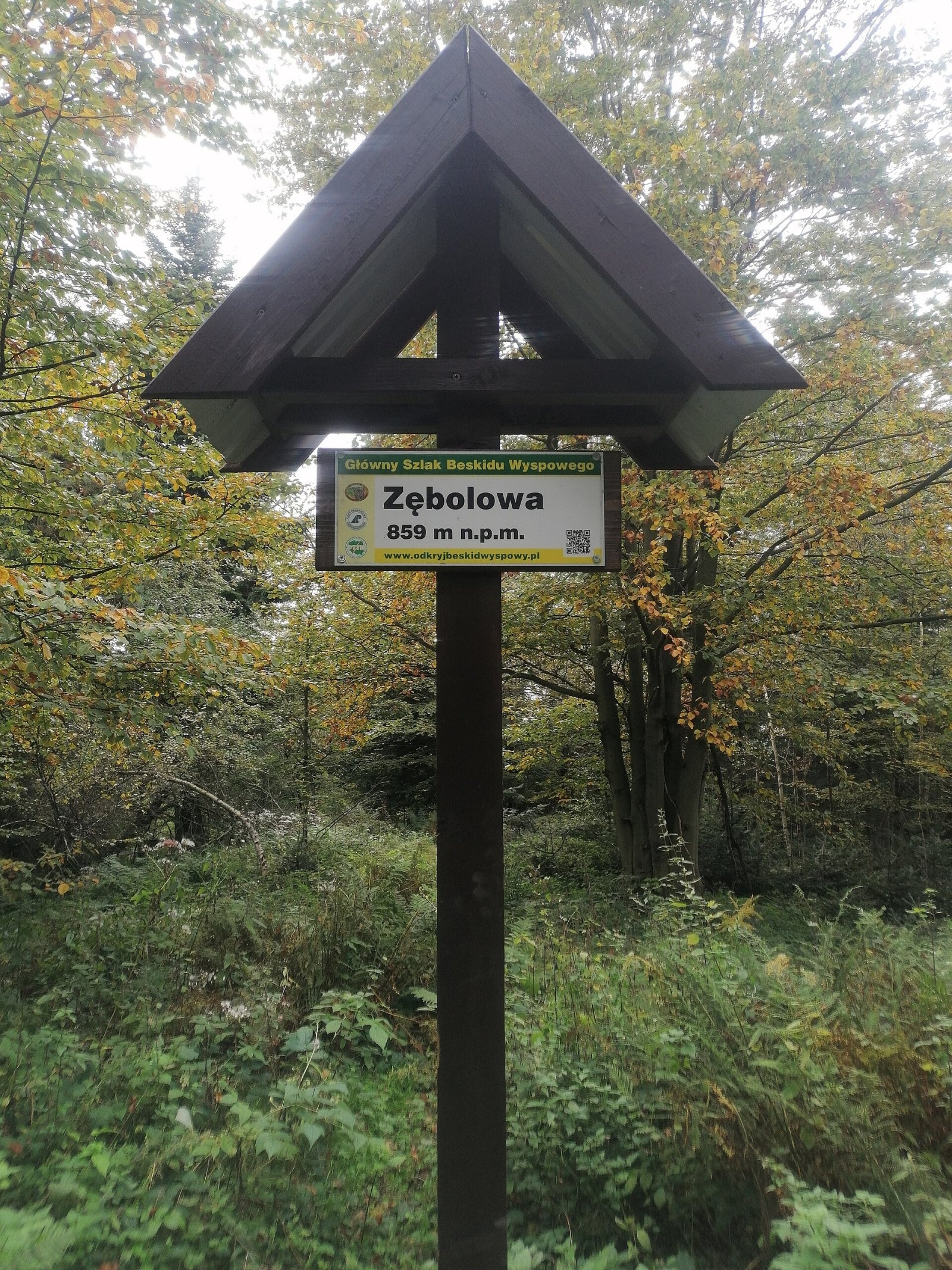
- red — the local Main Trail of the Island Beskids crosses the summit; its sign on the top reads "Zębolowa, 859 m n.p.m.".
Times are from the Compass map cited by Polish Wikipedia. OpenStreetMap shows no huts or springs right by the summit, so bring your own water and food.
What you can see from the top
The summit is wooded and offers no wide panorama; the sources do not describe specific views. Zębalowa itself, however, is easy to see from neighbouring mountains — for example from Luboń Mały and Luboń Wielki, from which it is photographed next to Lubogoszcz.
Nature and history
Local people know the mountain by several names. Residents of Łętownia call it Zębolowa, after the plot of farmland on which the main summit lies; in Tokarnia it is called Golec, after its once-deforested slopes; and in Krzczonów, Lubień, Krzeczów and Tenczyn it is Klimas, probably after a surname common in Lubień. Austrian cartographers distorted the name: they labelled the main summit Zembalowa and one of the short ridges Cymbałowa, moved the name Klimas to the end of the main ridge and Golec to the north-western ridge. In his popular guidebook Władysław Krygowski suggested the name was a corruption of "Sobalowa", from a surname.
Heights differ too: old maps gave 860 or 858 m, Krygowski 859 m, the Compass map 858 m and the state Geoportal 854.2 m. Between the wars Lubień was a popular holiday resort, and visitors found mysterious signs carved on the rocks of Zębalowa, believed to be marks left by treasure hunters. Research by Stanisław Leszczycki in the 1930s showed that they were merely boundary marks of landowners: he found 17 such stones with carved crosses, stars, initials and dates.
Safety, season and rules
The trails to Zębalowa are easy forest paths and field tracks without rocky sections and can be walked all year round. In the forest of this broad massif it is easy to lose your bearings, so follow the waymarks, and in winter allow for snow and short daylight. The summit is not in a national park; follow the general rules for forests and leave no litter. Mountain rescue in the Beskids is provided by GOPR: call 985 or +48 601 100 300; the general emergency number is 112.
Interesting facts
- One mountain has at least three local names: Zębolowa, Golec and Klimas.
- The "mysterious signs" on the rocks turned out to be boundary marks — 17 of them were counted.
- The summit sign says 859 m, while the state Geoportal gives 854.2 m.
Photos: Jerzy Opioła, CC BY-SA 4.0; Jerzy Opioła, CC BY-SA 4.0; Żółwiki, CC BY-SA 4.0; Jerzy Opioła, CC BY-SA 3.0 — Wikimedia Commons.
Getting there from Ukraine
Border crossings
- Krakovets – Korczowa — road, 24/7
- Shehyni – Medyka — road, 24/7 Pedestrian crossing is not confirmed by the Ukrainian border service — check dpsu.gov.ua before the trip.
- Smilnytsia – Krościenko — road, 24/7
- Hrushiv – Budomierz — road, 24/7
- Mostyska – Przemyśl (rail) — rail, 24/7
By car
Lviv – Zakopane ≈421 km, ≈5 h 10 min without border queues. Route: M-10 Lviv – Krakovets → Krakovets – Korczowa checkpoint → A4 motorway (Rzeszów – Tarnów – Kraków) → Kraków southern bypass → S7/DK7 → DK47 ('Zakopianka') via Nowy Targ → Zakopane. The A4 Katowice – Kraków section (Balice and Mysłowice toll plazas) is tolled, but this route does not use it. In summer and at weekends the DK47 near Zakopane is often congested.
Checked 23.10.2026; border crossing hours and timetables change — check before you travel.
Location on the map
Comments
Trails nearby
All trails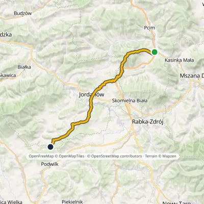 HardMulti-dayMarkedLubień SidzinaElevation profile348–854 m30.7 kmascent 1 001 m≈ 9.5 h walkingunder 1 km from Zębalowa
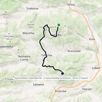 ModerateOne-dayMarkedKotoń ZębolowaElevation profile408–854 m15 kmascent 581 m≈ 5 h walkingunder 1 km from Zębalowa
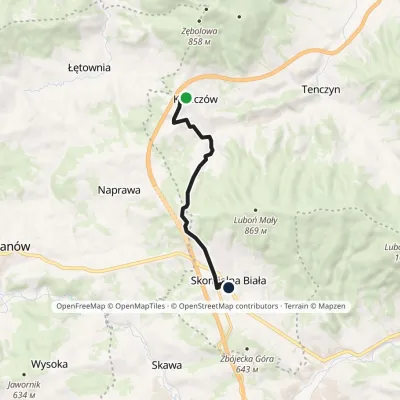 EasyOne-dayMarkedKrzeczów Junction Skomielna BiałaElevation profile493–690 m8 kmascent 192 m≈ 2.5 h walking2.6 km from Zębalowa
Nearby attractions
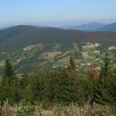 PeakSzczebelKlimkówkaaltitude 977 m7.6 km from ZębalowaSzczebel, also Strzebel, is a prominent 977 m mountain in the Island Beskids (Beskid Wyspowy). It stands right above the S7 «Zakopianka» expressway from Kraków to...
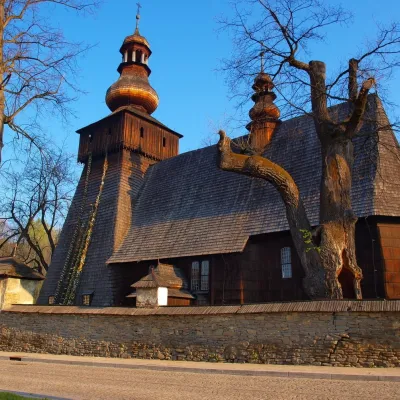 MuseumWładysław Orkan Museum in Rabka-ZdrójRabka-Zdrój12 km from ZębalowaThe Władysław Orkan Museum (Muzeum im. Władysława Orkana) in the spa town of Rabka-Zdrój is one of the oldest regional museums in the Polish Beskids.
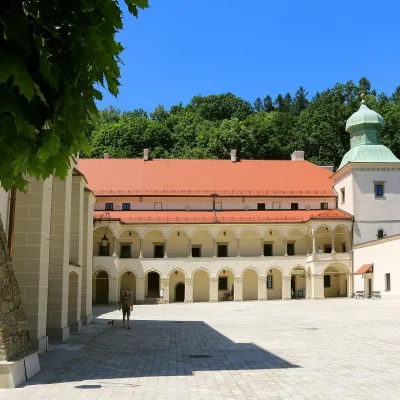 CastleSucha Beskidzka Castle (Little Wawel)Sucha Beskidzka23 km from ZębalowaSucha Castle in the town of Sucha Beskidzka is a Renaissance magnate residence at the foot of Mount Jasień, near the point where the Stryszawka flows into the Skawa.
Craft nearby
All craft places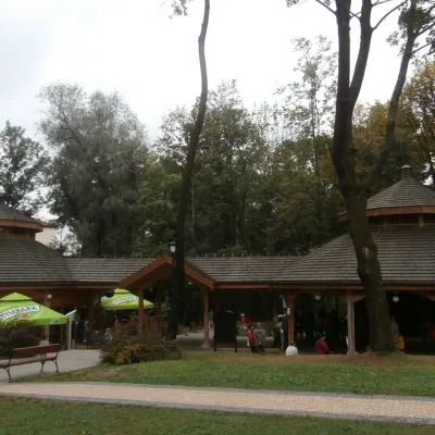 Water parks & thermal poolsRabka-Zdrój spa: brine graduation tower, pump rooms, treatmentsRabka-Zdrój12 km from ZębalowaRabka-Zdrój is a spa in the Raba valley between the Gorce, the Beskid Wyspowy and the Beskid Makowski, halfway from Kraków to Zakopane.
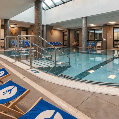 Water parks & thermal poolsTermy Gorce thermal bathsNiedźwiedź16 km from ZębalowaTermy Gorce is a small, cosy thermal complex in the village of Poręba Wielka, in the municipality of Niedźwiedź, at the foot of the Gorce Mountains.
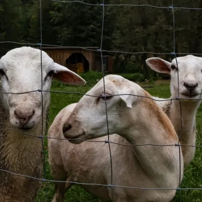 Eco farmsOrawskie Ranczo Educational Farm, Harkabuz: animals and craft workshopsHarkabuz20 km from ZębalowaOrawskie Ranczo is a small family educational farm (zagroda edukacyjna) in the village of Harkabuz near Raba Wyżna, where Orawa meets Podhale.
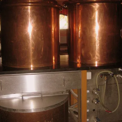 Craft shopsCistercian monastery shop, Szczyrzyc: abbey cheese, milk and Gryf beerSzczyrzyc21 km from ZębalowaIts heart is the Cistercian abbey: the monks arrived in the first half of the 13th century and, according to the monastery itself, have lived here without interruption...
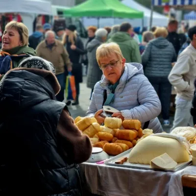 Markets & fairsNowy Targ Fair (Nowa Targowica)Nowy Targ27 km from ZębalowaThe fair in Nowy Targ is the largest and oldest market in Podhale. On Thursdays and Saturdays highlanders from the surrounding villages, Slovaks from across the border...
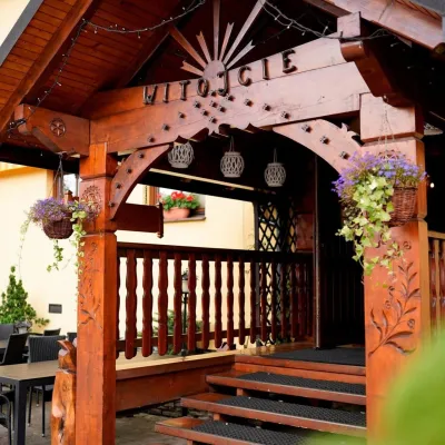 Koliby & Hutsul cuisineKarcma u Borzanka, Nowy Targ: highland food in an 18th-century innNowy Targ27 km from ZębalowaKarcma u Borzanka is a highland tavern in the oldest coaching inn of Nowy Targ, the capital of Podhale.
