Jaworzyna (Wielka Racza group)
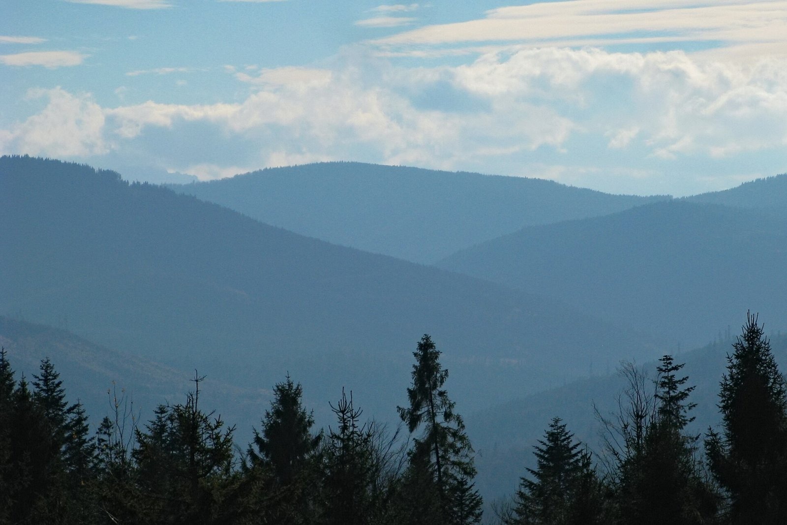
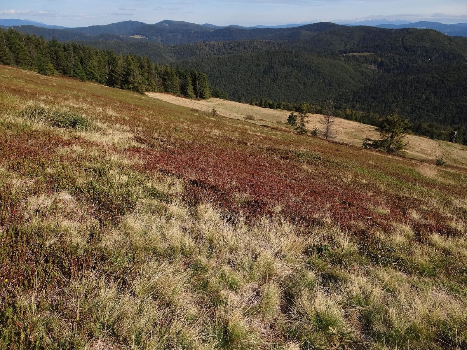
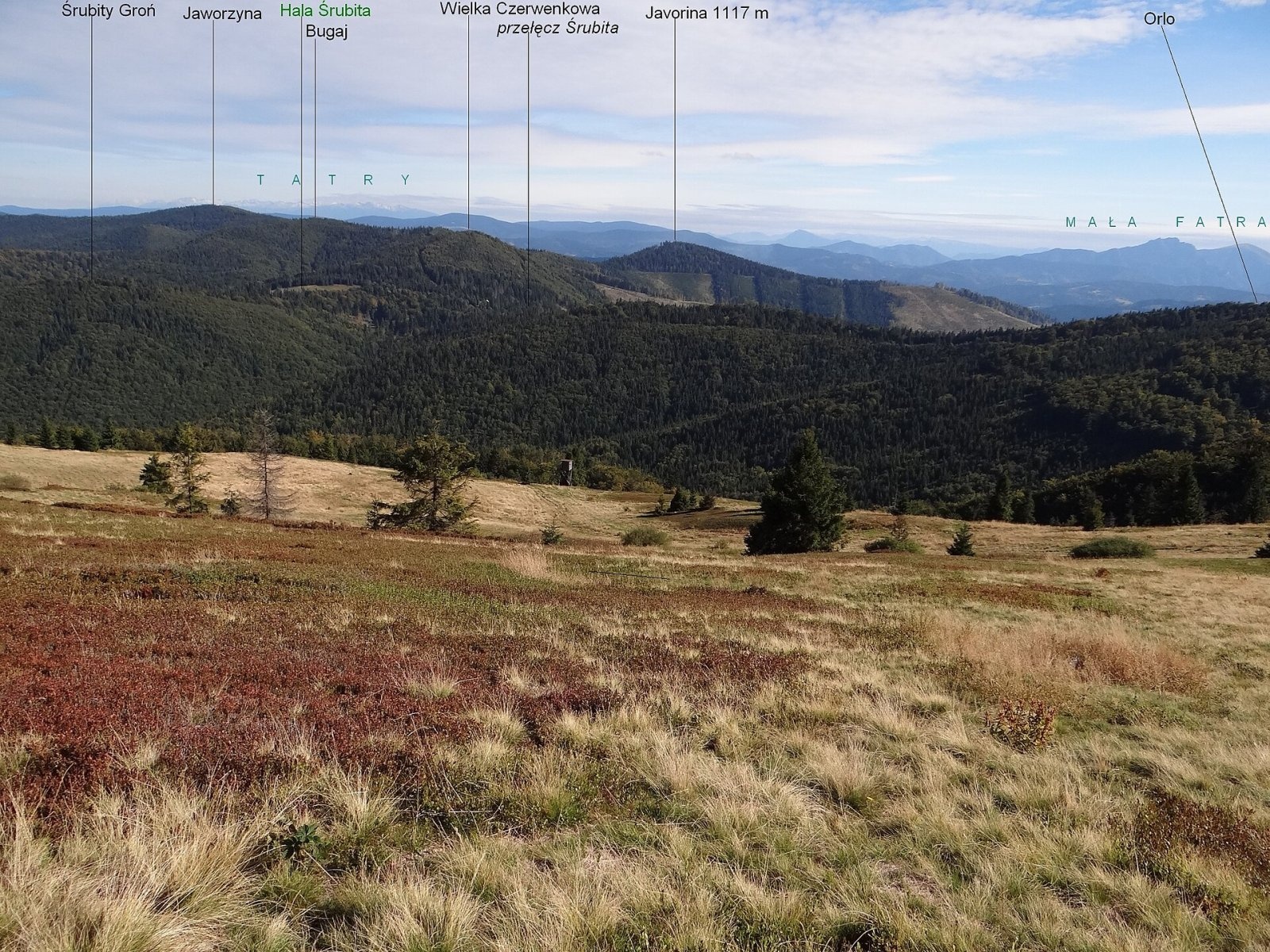
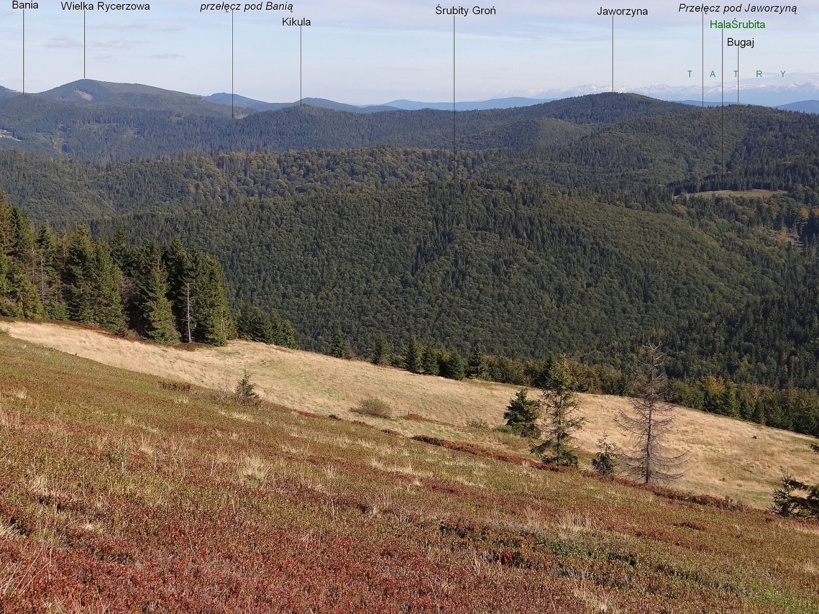
Jaworzyna (Slovak Javorina) is a 1,173 m summit in the Wielka Racza group on the Polish–Slovak border. In Jerzy Kondracki's classic regionalisation the group belongs to the Żywiec Beskids, in the newer 2018 Polish scheme to the Żywiec-Kysuce Beskids, and in Slovakia to the Kysuce Beskids. The state border and the Great European Watershed between the Black Sea and Baltic basins run along the main ridge. The Polish slopes belong to the village of Rycerka Górna (Rajcza municipality, Żywiec County, Silesian Voivodeship), the Slovak ones to Nová Bystrica in the Čadca district. The nearest settlements are Slovak Vychylovka (about 3.2 km) and the hamlet of Rycerka Górna Kolonia (4.3 km); Nová Bystrica is 5.9 km away.
Jaworzyna lies on the main ridge between Bugaj (1,140 m) to the west and Kikula to the north-east. A short side ridge, Abramowa, drops from it to the Polish side between the Z Ciapkowa and Abramów streams, and a short ridge with the top of Kýčerka (1,050 m) runs to the Slovak side. Slovak Wikipedia points out that 2.5 km to the south-west, above Nová Bystrica, there is another mountain of the same name (1,117 m), so do not confuse the two.
Getting there / trails
A red trail crosses Jaworzyna — a section of the Main Beskid Trail (Główny Szlak Beskidzki): Wielka Racza – Jaworzyna – Przegibek pass – Bania – Przegibek – Majcherowa – the pass below Rycerzowa. In OpenStreetMap this is the PTTK route "Sól – Rycerka", passing about 90 m from the summit. The trail follows the upper edge of an overgrowing glade, and beyond the summit towards Kikula it runs along a forest border cutting. From the Slovak side the same ridge is reached from Veľká Rača via Orol or from Rycierova hora; according to Slovak Wikipedia, the summit can also be climbed by unmarked paths from Vychylovka. In winter PTTK marks a red ski route Zwardoń – Rycerzowa here.
What you can see from the top
Descending from Jaworzyna to the pass before Kikula, the border cutting gives views of Majów, Wielka Rycerzowa with the Rycerzowa pasture and the distant Pilsko massif. According to Slovak Wikipedia, partly deforested spots offer far-reaching views: besides the Kysuce Beskids, the Orava Magura, the Kriváň Fatra, the Kysuce Highlands and the Silesian and Orava Beskids are well visible, and in good conditions the Moravian-Silesian Beskids, the High and Low Tatras, the Lúčanská Fatra and the Javorníky.
Nature and history
The mountain is forested. There used to be a large grazed glade on the ridge, but it is now becoming overgrown. Most striking is the border cutting towards Kikula: two completely different forests grow on either side of it — primeval beech forest on the Slovak side and secondary spruce forest on the Polish side. The southern part of the massif is drained by tributaries of the Vychylovka flowing to the Bystrica and on into the Danube basin, while the northern, Polish slopes are drained by the Ciapków stream, which flows into the Rycerka and then the Soła. The Slovak part of the mountain lies within the Kysuce Protected Landscape Area.
Safety, season and rules
The red ridge trail is easy and can be walked all year round, but it is a long forest section without settlements, so plan your strength and daylight, and be ready for deep snow in winter. When walking along the border cutting, remember you are on the state border. On the Polish side mountain rescue is provided by GOPR (985 or +48 601 100 300), on the Slovak side by HZS (18 300, +421 18 300); the general emergency number is 112.
Interesting facts
- The border cutting on the ridge separates primeval beech forest in Slovakia from secondary spruce forest in Poland.
- The Great European Watershed between the Black and Baltic Seas runs over the summit.
- Nearby, above Nová Bystrica, is another mountain with the same name — Javorina (1,117 m).
Photos: Adrian Tync, CC BY-SA 4.0; Jerzy Opioła, CC BY-SA 3.0; Jerzy Opioła, CC BY-SA 3.0; Jerzy Opioła, CC BY-SA 3.0 — Wikimedia Commons.
Getting there from Ukraine
Border crossings
- Krakovets – Korczowa — road, 24/7
- Shehyni – Medyka — road, 24/7 Pedestrian crossing is not confirmed by the Ukrainian border service — check dpsu.gov.ua before the trip.
- Smilnytsia – Krościenko — road, 24/7
- Hrushiv – Budomierz — road, 24/7
- Mostyska – Przemyśl (rail) — rail, 24/7
By car
Lviv – Żywiec ≈412 km, ≈5 h 30 min without queues or tolls: M-10 → Krakovets – Korczowa → A4 to Kraków (≈249 km) → DK52 via Wadowice → DW781 and DW946 to Żywiec. ≈333 km, ≈4 h from the border. Alternative via the tolled A4 Kraków – Katowice and the S1 via Tychy and Bielsko-Biała: ≈457 km, ≈5 h 25 min.
Checked 23.10.2026; border crossing hours and timetables change — check before you travel.
Location on the map
Water and shelter nearby
- Spring below Sajdov1.8 km · Not verified · 770 m
- Spring below Bania / Priehybok1.9 km · Not verified · 1 043 m
- Spring below Veľká Červenková2.7 km · Not verified · 1 000 m
- Spring with a gnome2.8 km · Not verified · 940 m
Comments
Trails nearby
All trails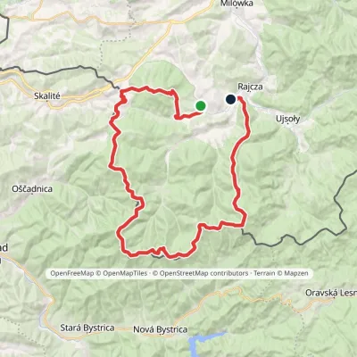 HardMulti-dayMarkedSól RycerkaElevation profile509–1 228 m49.5 kmascent 1 901 munder 1 km from Jaworzyna (Wielka Racza group)
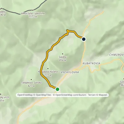 EasyOne-dayMarkedVychylovka, Pavelkovia Vychylovka, KolenoElevation profile584–780 m4.6 kmascent 196 m≈ 1.5 h walking1.8 km from Jaworzyna (Wielka Racza group)
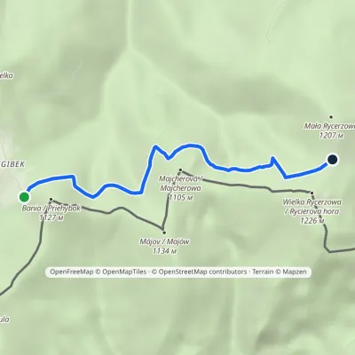 EasyOne-dayMarkedPrzegibek Pass Rycerzowa MeadowElevation profile997–1 150 m4.4 kmascent 167 m≈ 1.5 h walking2.5 km from Jaworzyna (Wielka Racza group)
Nearby attractions
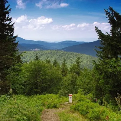 PeakWielka RycerzowaSoblówkaaltitude 1 226 m4.7 km from Jaworzyna (Wielka Racza group)Wielka Rycerzowa (Slovak Rycierova hora) is a 1226 m summit in the Wielka Racza group on the Polish–Slovak border.
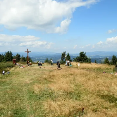 Mountain meadowThe summit hala of Veľká Rača, the highest peak of the Kysucké BeskydyKlubinaaltitude 1 236 m5.2 km from Jaworzyna (Wielka Racza group)Veľká Rača (Polish Wielka Racza, 1,236 m) is the highest mountain of the Kysucké Beskydy on the Slovak–Polish border, about 12 km east of the town of Čadca.
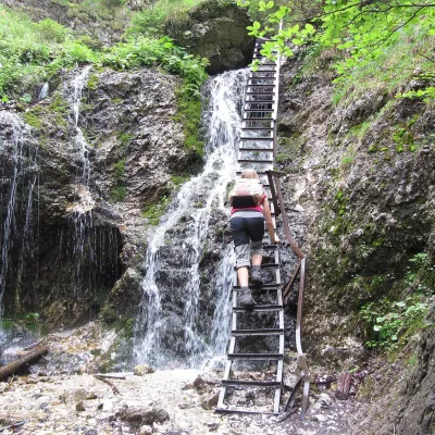 NatureJánošík's Holes (Jánošíkove diery)Terchová16 km from Jaworzyna (Wielka Racza group)Jánošíkove diery (Jánošík’s Holes), or simply Diery, is a system of narrow gorges and canyons in the Krivánska Malá Fatra near the village of Terchová, birthplace of...
Craft nearby
All craft places Cheese dairies & pasturesSalaš Syrex in Zázrivá — Home of the Zázrivá Korbáčik CheeseZázrivá15 km from Jaworzyna (Wielka Racza group)Zázrivá is a scattered mountain village on the border of Orava and the Malá Fatra, famous throughout Slovakia for its korbáčiky: thin strings of steamed cheese braided...
 Cheese dairies & pasturesRaková farm in Kysuce: bryndza, žinčica and cheese cakesRaková22 km from Jaworzyna (Wielka Racza group)Kysuce is a hilly region in north-western Slovakia, near the Polish and Czech borders, with scattered hillside hamlets (“kopanice”) and an old tradition of keeping...
 Cheese dairies & pasturesBacówka na Bukowinie, Żabnica: sheep's cheese and alpacasWęgierska Górka23 km from Jaworzyna (Wielka Racza group)Bacówka na Bukowinie stands on a slope above the village of Żabnica, next to Węgierska Górka, where the Żywiec Beskids meet the Silesian Beskids.
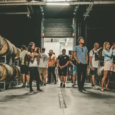 Craft beer & breweriesPINTA Brewery, Wieprz near Żywiec: tours and taproomWieprz30 km from Jaworzyna (Wielka Racza group)PINTA is the brewery that Poles associate with the start of the “beer revolution”; it calls itself the country's first craft brewery.
 Water parks & thermal poolsAquapark Leśna (Żywiec)Leśna32 km from Jaworzyna (Wielka Racza group)Aquapark Leśna (also called Aquapark Żywiec) is a swimming-pool complex in the village of Leśna, a few kilometres from Żywiec, in the Żywiec Basin, surrounded by the...
 Craft beer & breweriesBrowar Wisła: craft brewpub in Wisła's old railway stationWisła32 km from Jaworzyna (Wielka Racza group)Browar Wisła is a brewpub in the heart of the Silesian Beskids, in the spa town of Wisła, where Poland's longest river of the same name rises.
