Łamana Skała
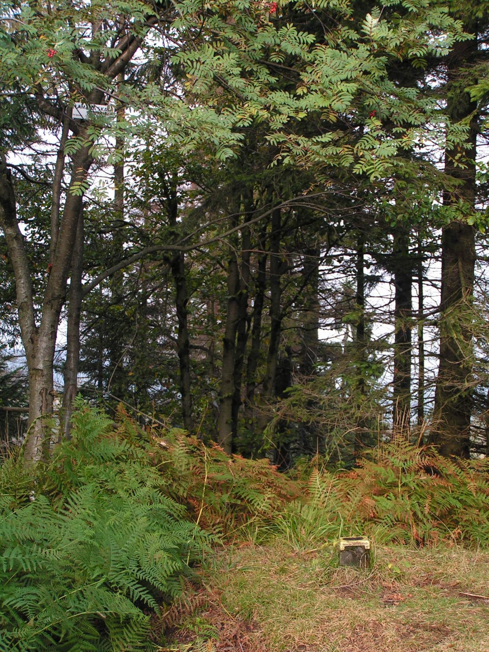
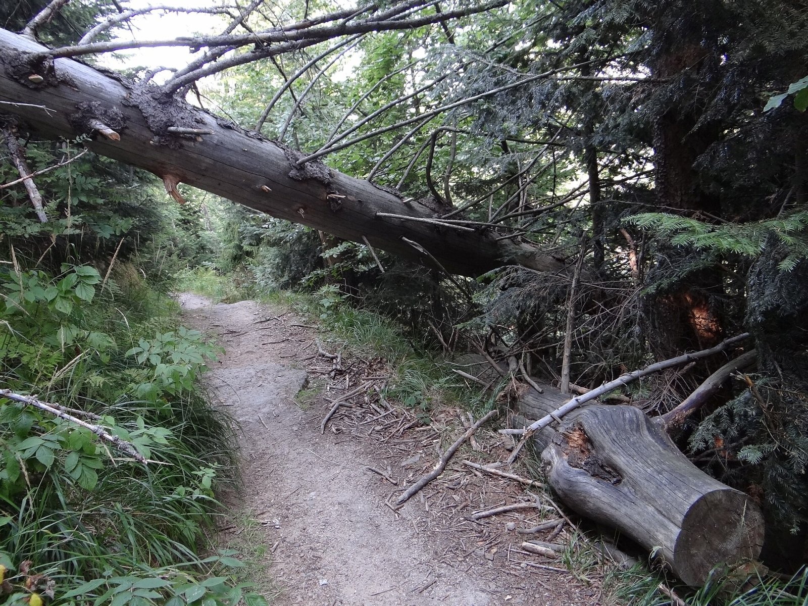
Łamana Skała (on many maps also called Madohora) is a 929 m mountain in the Little Beskids (Beskid Mały) in southern Poland. It is the second-highest peak of the Little Beskids after Czupel and the highest summit of their eastern part, the Andrychów Beskids. The mountain rises in the Łamana Skała range, which carries the main ridge of the Little Beskids, and has two tops: the higher one, 929 m, stands above the valleys of the Kocierka and Pracica streams, while the lower one, 915 m, is the junction from which the short Łysina side ridge branches off.
The boundaries of three villages meet on the higher summit: Las and Ślemień in Silesian Voivodeship and Rzyki in Lesser Poland. The mountain therefore lies right on the border of two voivodeships, inside the Little Beskids Landscape Park.
How to get there / trails
Two marked trails cross the massif, and both skirt the summit itself on a traverse along the northern slope:
- the red Little Beskid Trail (Mały Szlak Beskidzki) on the section Kocierska Pass – Groń Jana Pawła II: from Kocierska Pass 7.4 km with about 370 m of ascent, roughly 2 h 30 min; from Groń Jana Pawła II 5 km and 140 m of ascent, about 1 h 30 min;
- the yellow Frys Family Trail: Targanice – Jawornica – Potrójna – Zakocierska Pass – the student hut «Chatka pod Potrójną» – Przełęcz na Przykrej – Łamana Skała – Anula – Rzyki-Pracica.
About 300 m south-east of the summit, through the Anula area, run two more trails: the blue one (section Łysina – Krzeszów: 8.4 km from Łysina, about 2 h 25 min; 6.1 km from Krzeszów, about 2 h 05 min) and the green one leading to Ślemień (7.2 km and 480 m of ascent from Ślemień, about 2 h 20 min). Times are taken from Polish Wikipedia. The nearest shelter is the student hut «Chatka pod Potrójną», about 1.5 km from the summit.
The view from the top
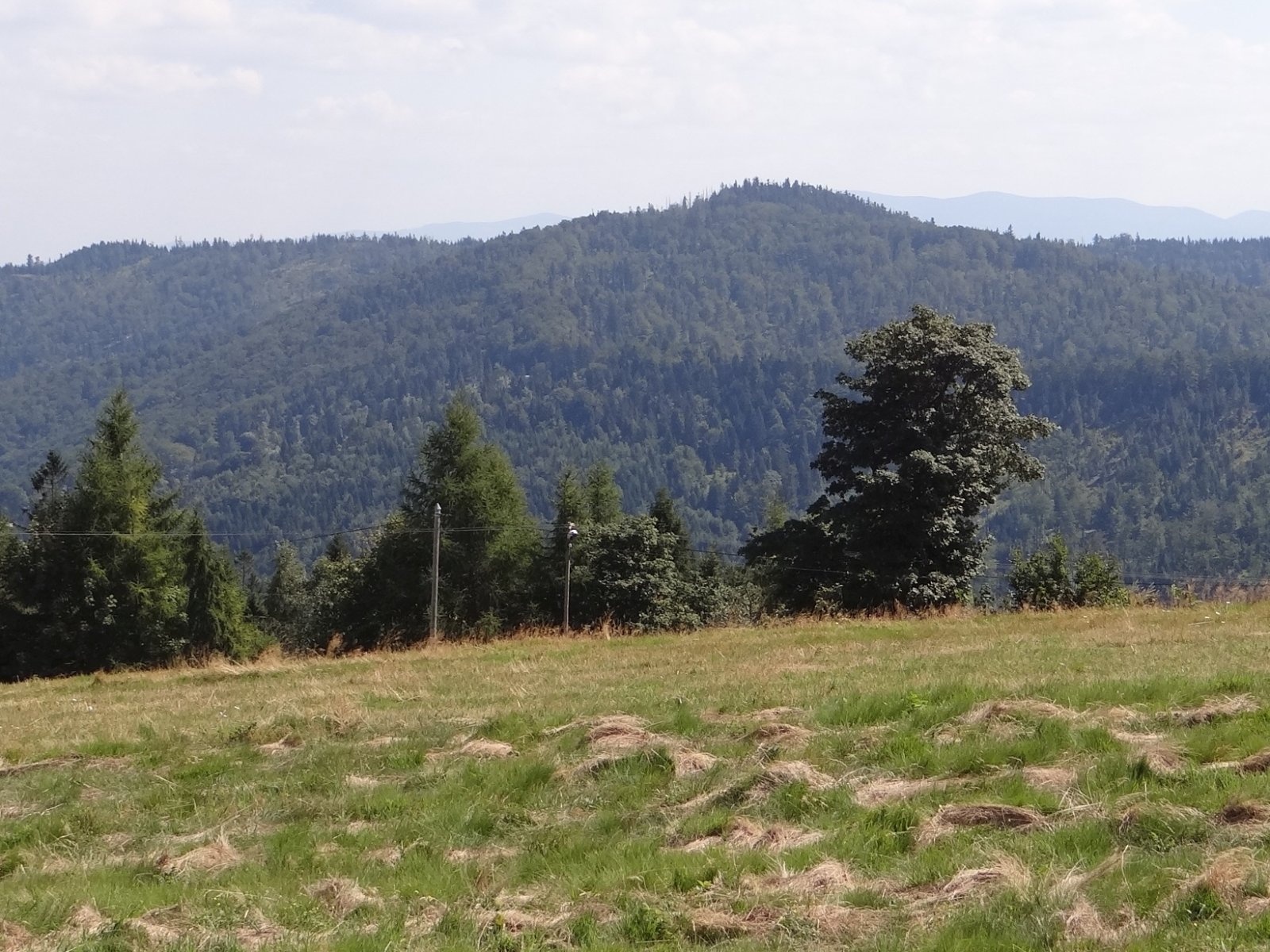
The top is covered with old spruce forest, so do not expect a wide panorama: between the trees you only catch glimpses of the neighbouring ridges. The best view of Łamana Skała itself and neighbouring Smrekowica opens from the open slopes of Potrójna to the west, where most photographs of the mountain are taken.
Nature and history
The slopes are covered with lower-montane beech forest and the summit area with natural spruce forest resembling the upper-montane spruce woods. In 1984 the botanist Aleksy Siemionow wrote that the spruces here were about 160 years old, with conical crowns reaching down to the ground. Today the old spruces are gradually being replaced by natural regeneration of fir, rowan, beech and sycamore.
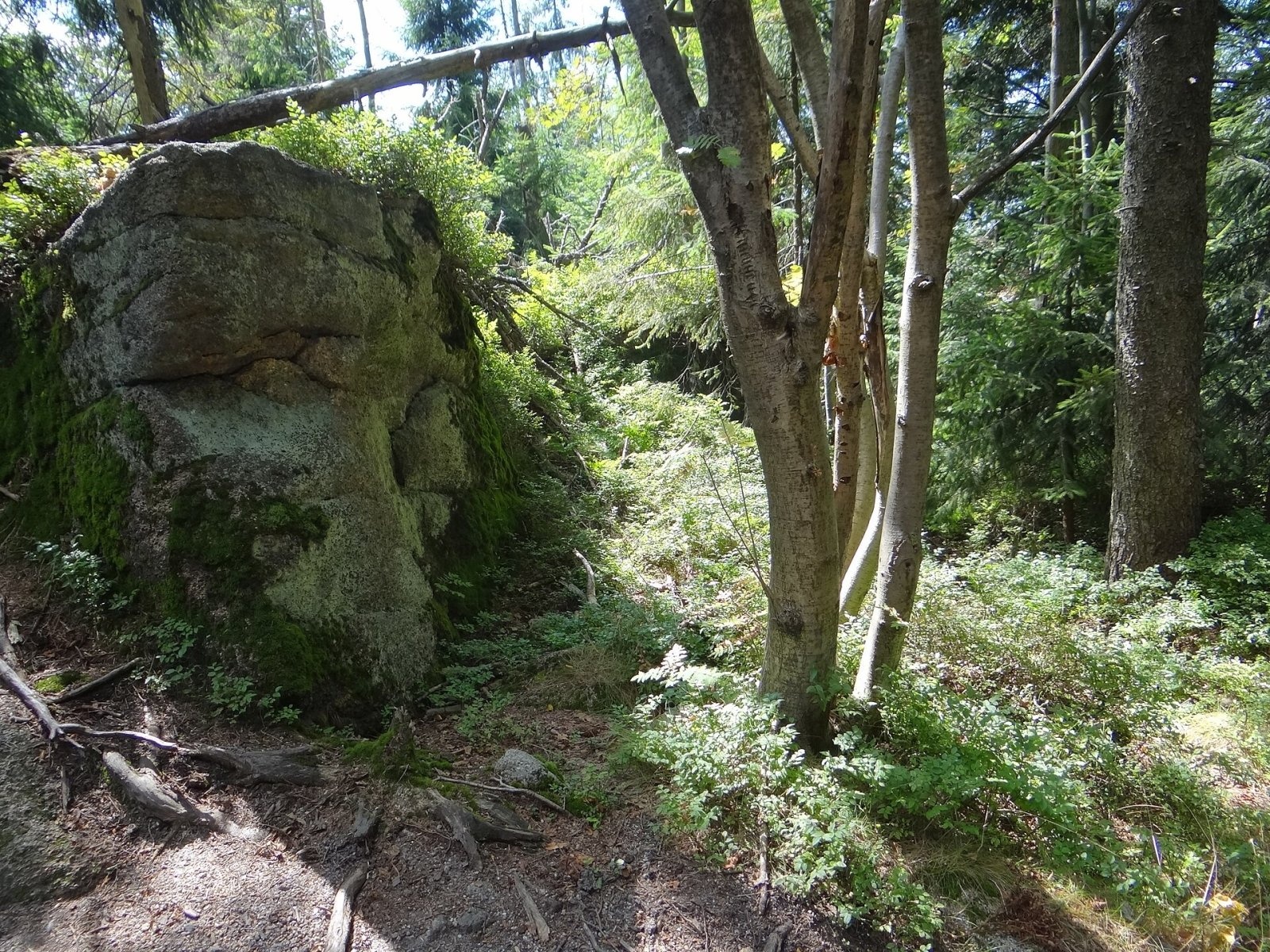
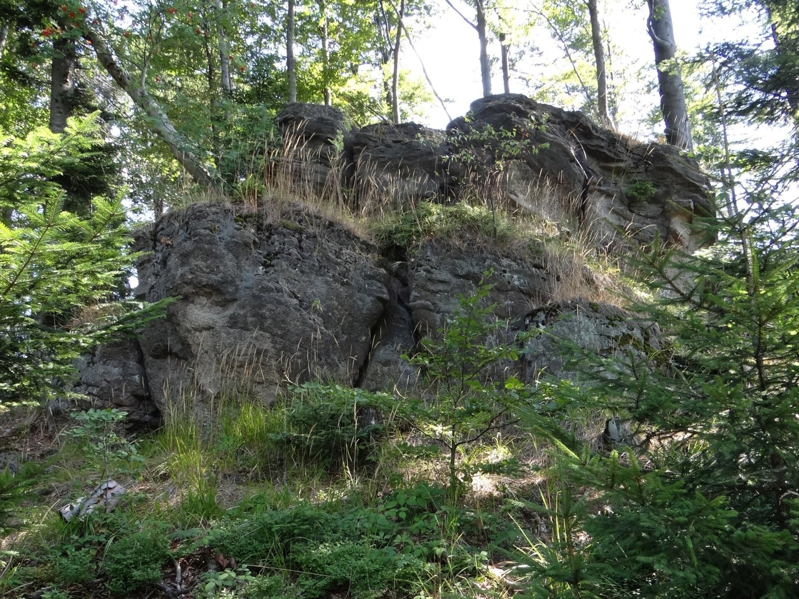
Along the ridge lie tors of Istebna sandstone and conglomerate, rocks a few metres to more than ten metres high known as Zwalisko or Znalezisko. As early as 1960, on the initiative of Professor Stefan Myczkowski, the Madohora nature reserve was created here; in 2026 it was enlarged to 447 ha, of which almost 33 ha are under strict protection. The reserve hosts 129 species of vascular plants, including protected species such as yellow monkshood, stiff clubmoss and willow gentian; red deer, roe deer, wild boar and badgers occur, and dozens of bird species nest here.
The name refers to the rocks near the summit. A document from 1445 describing the boundary between the duchies of Oświęcim and Zator already mentions «Łamana Skała». The Polish WIG map of 1934 mistakenly moved the name «Madohora» here from the neighbouring summit of Mlada Hora to the east, and the error persisted in guidebooks for a long time. Researchers later restored the correct name, but «Madohora» still appears on maps as an alternative name.
Safety, season and rules
Łamana Skała is a low wooded mountain that can be visited all year round, but in winter the paths can be snowy and icy, and in fog it is easy to take a wrong turn at trail junctions. The summit lies inside a nature reserve, so stay on the marked paths, do not pick plants and take your rubbish home. In the Polish Beskids outside the Tatras, help comes from the GOPR mountain rescue service: call 985 or +48 601 100 300, or the general emergency number 112.
Interesting facts
- Łamana Skała is only slightly lower than Czupel (931 m), the highest peak of the entire Little Beskids.
- The rocks on the ridge are made of the same Istebna sandstone as many rock tors in the Western Beskids.
Photos: Cancre, CC BY-SA 3.0; Jerzy Opioła, CC BY-SA 4.0; Jerzy Opioła, CC BY-SA 4.0; Jerzy Opioła, CC BY-SA 4.0; Jerzy Opioła, CC BY-SA 4.0 — Wikimedia Commons.
Getting there from Ukraine
Border crossings
- Krakovets – Korczowa — road, 24/7
- Shehyni – Medyka — road, 24/7 Pedestrian crossing is not confirmed by the Ukrainian border service — check dpsu.gov.ua before the trip.
- Smilnytsia – Krościenko — road, 24/7
- Hrushiv – Budomierz — road, 24/7
- Mostyska – Przemyśl (rail) — rail, 24/7
By car
Lviv – Żywiec ≈412 km, ≈5 h 30 min without queues or tolls: M-10 → Krakovets – Korczowa → A4 to Kraków (≈249 km) → DK52 via Wadowice → DW781 and DW946 to Żywiec. ≈333 km, ≈4 h from the border. Alternative via the tolled A4 Kraków – Katowice and the S1 via Tychy and Bielsko-Biała: ≈457 km, ≈5 h 25 min.
Checked 23.10.2026; border crossing hours and timetables change — check before you travel.
Location on the map
Water and shelter nearby
- Spring below Gibasów Wierch860 m · Not verified · 843 m
- Zimna Woda Spring, 827 m1.2 km · Not verified · 827 m
- Hut under Potrójna1.5 km · Standing · 800 m
- Gibasówka Hut (Lutecja)2 km · Standing · 805 m
- Gibasówka Hut (at Stach's)2 km · Standing · 802 m
Comments
Trails nearby
All trails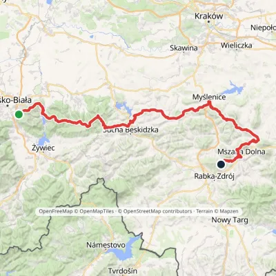 HardMulti-dayMarkedMały Szlak BeskidzkiElevation profile282–1 022 m134.7 kmascent 5 091 munder 1 km from Łamana Skała
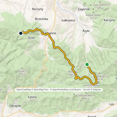 ModerateTwo-dayMarkedFrys Family TrailElevation profile398–910 m17.1 kmascent 849 m≈ 6 h walkingunder 1 km from Łamana Skała
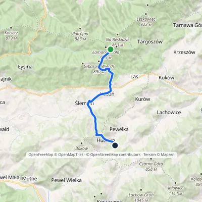 ModerateOne-dayMarkedHucisko Łamana SkałaElevation profile455–896 m12.5 kmascent 310 m≈ 3.5 h walkingunder 1 km from Łamana Skała
Nearby attractions
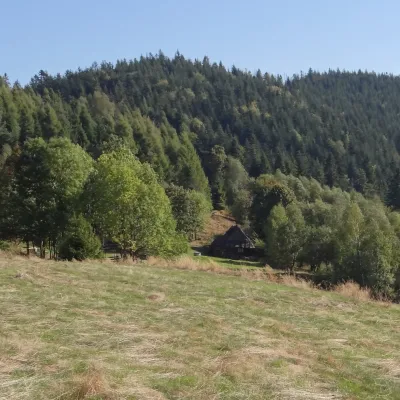 PeakGibasów WierchKocońaltitude 890 m1.3 km from Łamana SkałaGibasów Wierch (also Wielki Gibasów Groń) is an 890 m summit in the Łamana Skała range of the Little Beskids (more precisely in its part called the Łysina range) in...
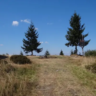 PeakPotrójnaRzykialtitude 883 m2.7 km from Łamana SkałaPotrójna is a twin-topped mountain in the Andrychów Beskids, the eastern part of the Little Beskids (Beskid Mały).
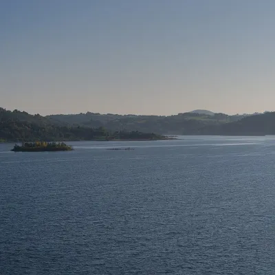 LakeLake Mucharz (Jezioro Mucharskie)Świnna Poręba12 km from Łamana SkałaLake Mucharz (Jezioro Mucharskie) is the youngest large reservoir of the Polish Carpathians. It lies on the Skawa river among the hills of the Beskid Mały, in the...
Craft nearby
All craft places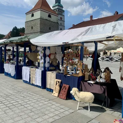 Markets & fairsFolk Art Fair in Żywiec during the Beskidy Week of CultureŻywiec16 km from Łamana SkałaThe Beskidy Highlanders' Week of Culture (Tydzień Kultury Beskidzkiej, TKB) is Poland's largest folklore festival: it was first held in Wisła in 1964, and today, at...
 Craft beer & breweriesBrowar Zarzecze in the Żywiec Basin: craft brewery shopZarzecze17 km from Łamana SkałaBrowar Zarzecze works in the village of Zarzecze near Pietrzykowice in the Żywiec Basin — a region where beer has been brewed since at least the 19th century and home...
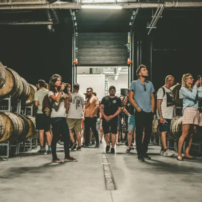 Craft beer & breweriesPINTA Brewery, Wieprz near Żywiec: tours and taproomWieprz20 km from Łamana SkałaPINTA is the brewery that Poles associate with the start of the “beer revolution”; it calls itself the country's first craft brewery.
 Water parks & thermal poolsAquapark Leśna (Żywiec)Leśna21 km from Łamana SkałaAquapark Leśna (also called Aquapark Żywiec) is a swimming-pool complex in the village of Leśna, a few kilometres from Żywiec, in the Żywiec Basin, surrounded by the...
 Cheese dairies & pasturesBacówka na Bukowinie, Żabnica: sheep's cheese and alpacasWęgierska Górka27 km from Łamana SkałaBacówka na Bukowinie stands on a slope above the village of Żabnica, next to Węgierska Górka, where the Żywiec Beskids meet the Silesian Beskids.
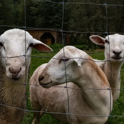 Eco farmsOrawskie Ranczo Educational Farm, Harkabuz: animals and craft workshopsHarkabuz40 km from Łamana SkałaOrawskie Ranczo is a small family educational farm (zagroda edukacyjna) in the village of Harkabuz near Raba Wyżna, where Orawa meets Podhale.
