Jałowiec (Jałowiec Range)
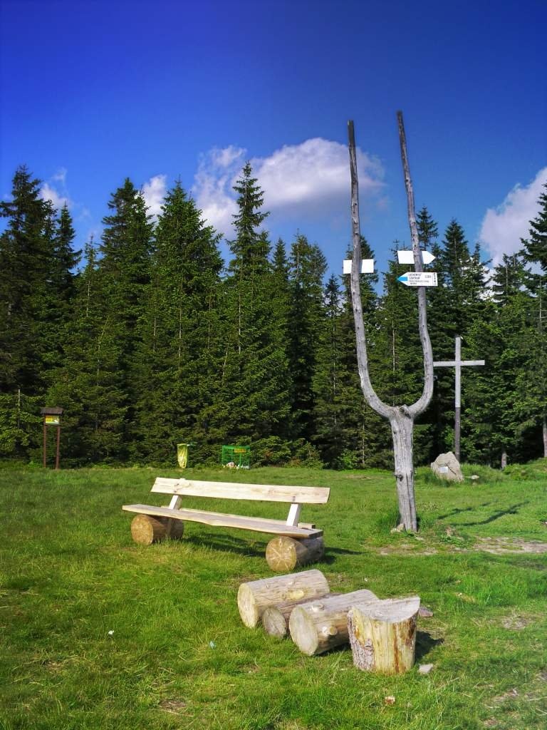
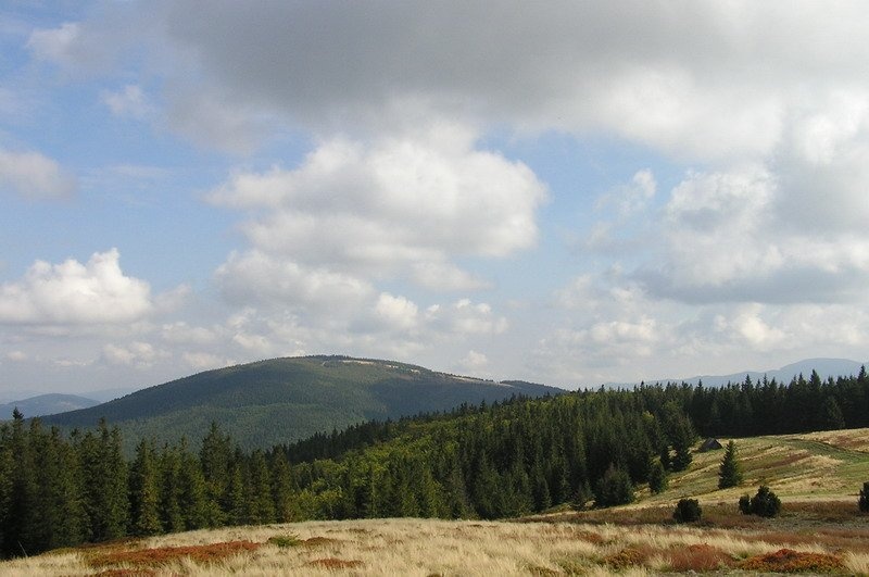
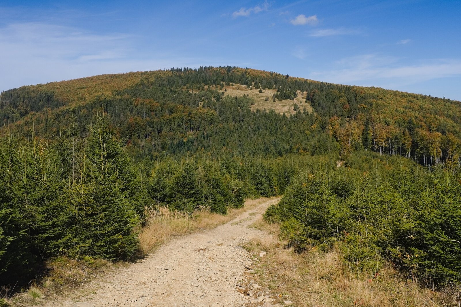
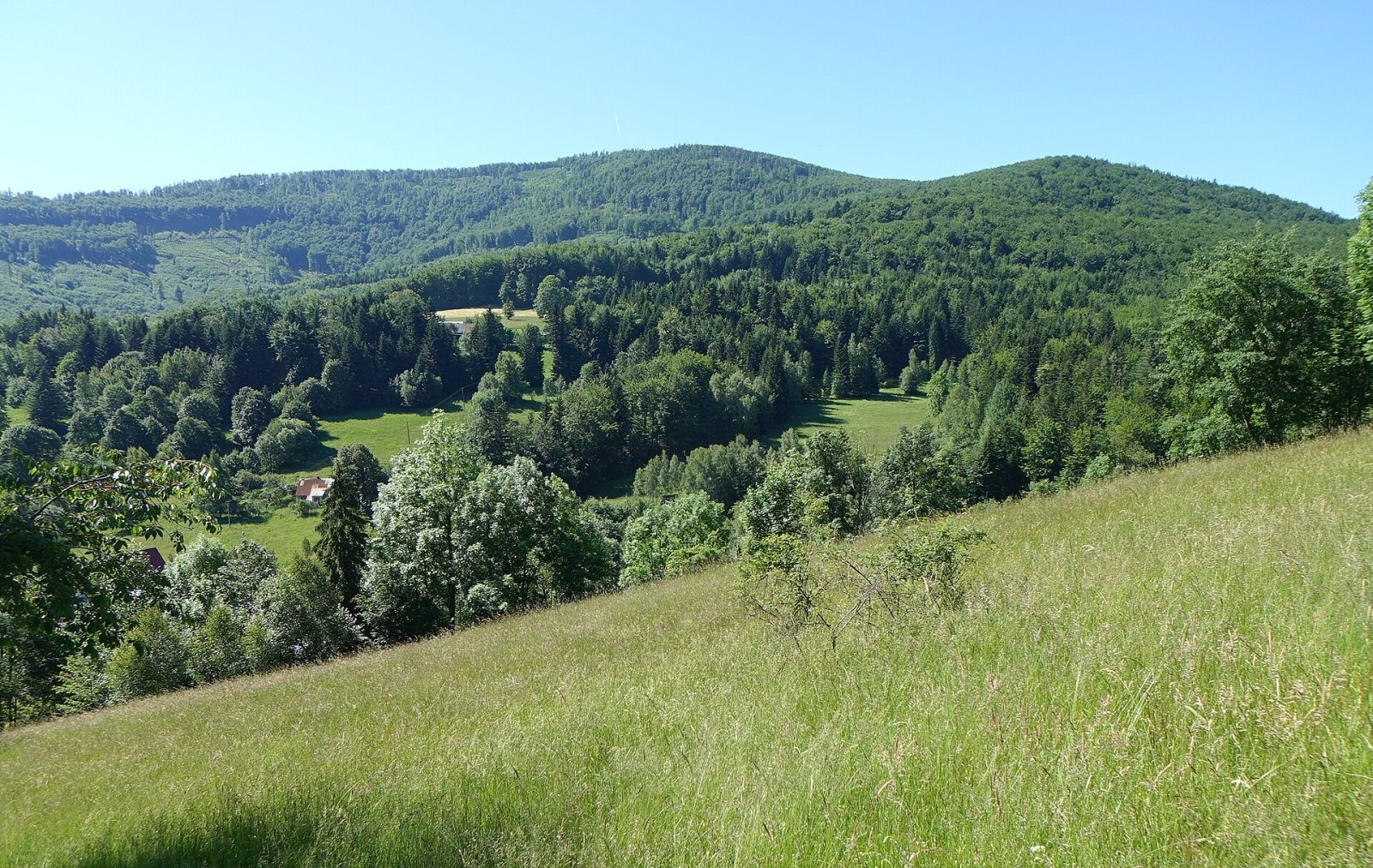
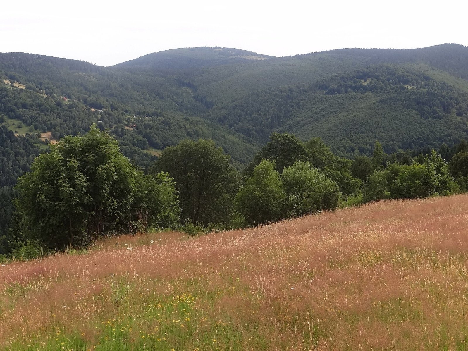
Jałowiec is a 1,111 m summit, the highest of the Jałowiec Range north of the Babia Góra massif in Poland. In Jerzy Kondracki's physical-geographical regionalisation the range belongs to the Maków Beskids, in the newer 2018 scheme to the Żywiec-Orava Beskids, and guidebooks usually count it as part of the Żywiec Beskids. The boundaries of three villages meet on the summit: Koszarawa in the Silesian Voivodeship, and Stryszawa and Zawoja in Sucha County, Lesser Poland. The nearest Zawoja hamlets, W Tajchu and Opaczne, lie 1–1.5 km from the top.
There has long been confusion about the height. Surveyors placed their benchmark a little below the summit, at 1,110.9 m, so every source gives 1,111 m; a detailed contour map, however, shows that the summit itself lies above the 1,112.5 m contour.
Jałowiec is a junction peak. To the west the Sucha (Trzebuńska) Pass (982 m) separates it from Czerniawa Sucha, to the east the shallow Opaczne Pass (879 m) separates it from Kolędówka. On the summit the ridge splits into two spurs enclosing the Stryszawka valley: the main one runs over Opaczne, Kiczora and the Przysłop Pass to the Skawa valley, the shorter Solniska range over the Cicha Pass (775 m), Kobyla Głowa and Opuśniak. The mountain rises above the valleys of three rivers: the Skawica, the Koszarawa and the Stryszawka.
How to get there / trails
- Blue PTTK trail Lachowice — Jałowiec — Zawoja: via the Cicha Pass from the north and down to Zawoja to the south.
- Yellow trail from the Przysłop Pass via Kiczora, Arcygłówka, Solniska, Kolędówka and Opaczne to Jałowiec, then on over Czerniawa Sucha and Lachów Groń to Koszarawa — about 6 h (6 h 05 min the other way).
- Cardinal Stefan Wyszyński Forest Nature Trail, laid out by the Sucha Forest District: an open loop that starts and ends in the Stryszawka valley and crosses the summit and the Opaczne and Kolędówki passes.
The view from the top
Today Jałowiec is almost entirely wooded, so the best view is not from the summit but from the Hala Trzebuńska (Hala Kubulkowa) meadow on the southern slope. In good visibility it shows the Silesian Beskids with Barania Góra and Skrzyczne, the Żywiec Basin, the Żywiec Beskids with Pilsko and the whole of Babia Góra — from the Krowiarki Pass to the Jałowiec Pass — and in very clear weather the peaks of the Malá Fatra. On the summit itself there are benches and a large photograph of the panorama with all peaks labelled.
Nature and history
Kazimierz Sosnowski's old guidebook described Jałowiec as a mountain that was "pleasant, but remote and little visited", with a meadow on top ringed by stunted beech forest. The author saw little of the juniper (jałowiec) the mountain is named after, but noted two patches of tall dwarf pine at 1,100 m surrounded by spruce — an interesting natural phenomenon. Most of the meadows have since become overgrown; what remains are Hala Trzebuńska, the clearing with the Opaczne settlement below the pass of the same name, where a hut once operated, and the small Krawcowa clearing above the Cicha Pass.
During the Second World War the border between the General Government and the Third Reich ran over the summit: Stryszawa was in the Reich, Zawoja in the General Government. Traces of one of the watchtowers are still visible on the summit, and at the Cicha Pass, by the blue trail, you can find the foundations of a larger German border-guard (Grenzschutz) post. In 2000 the people of Stryszawa erected a wooden cross on the summit to commemorate the visits of Cardinals Stefan Wyszyński and Karol Wojtyła, later Pope John Paul II.
Safety, season and rules
Jałowiec is a wooded mountain without crags, accessible all year. The routes are long and in places far from villages, so plan your time and carry water; in winter the paths can be snowy and icy. The mountain lies outside national parks, but the usual forest rules apply: no fires outside designated places and no litter.
Mountain rescue in the Beskids is provided by GOPR: 985 or +48 601 100 300, and 112.
Photos: The original uploader was Jurbox at Polish Wikipedia., CC BY-SA 2.5; Giraff camelopardalis (pl-wiki), CC BY-SA 3.0; Adrian Tync, CC BY-SA 4.0; Jerzy Opioła, CC BY-SA 4.0; Jerzy Opioła, CC BY-SA 4.0; Jerzy Opioła, CC BY-SA 4.0 — Wikimedia Commons.
Getting there from Ukraine
Border crossings
- Krakovets – Korczowa — road, 24/7
- Shehyni – Medyka — road, 24/7 Pedestrian crossing is not confirmed by the Ukrainian border service — check dpsu.gov.ua before the trip.
- Smilnytsia – Krościenko — road, 24/7
- Hrushiv – Budomierz — road, 24/7
- Mostyska – Przemyśl (rail) — rail, 24/7
By car
Lviv – Żywiec ≈412 km, ≈5 h 30 min without queues or tolls: M-10 → Krakovets – Korczowa → A4 to Kraków (≈249 km) → DK52 via Wadowice → DW781 and DW946 to Żywiec. ≈333 km, ≈4 h from the border. Alternative via the tolled A4 Kraków – Katowice and the S1 via Tychy and Bielsko-Biała: ≈457 km, ≈5 h 25 min.
Checked 23.10.2026; border crossing hours and timetables change — check before you travel.
Location on the map
Water and shelter nearby
- Hut below Kobyla Głowa1.9 km · Not verified · 824 m
- Hut below Lachów Groń2.6 km · Not verified · 1 030 m
- Spring below Lachów Groń2.6 km · Not verified · 1 033 m
Comments
Trails nearby
All trails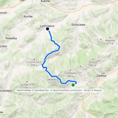 ModerateOne-dayMarkedZawoja LachowiceElevation profile447–1 111 m12.3 kmascent 587 m≈ 4 h walkingunder 1 km from Jałowiec (Jałowiec Range)
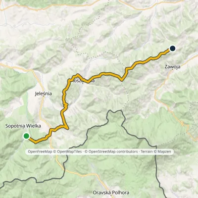 HardMulti-dayMarkedWodospad Sopotnia Above Przełęcz PrzysłopElevation profile490–1 111 m31.5 kmascent 1 619 m≈ 11 h walkingunder 1 km from Jałowiec (Jałowiec Range)
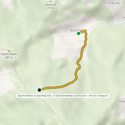 EasyOne-dayMarkedKoszarawa Roztoki Polana KrawcowaElevation profile594–923 m2.3 kmascent 329 m≈ 1 h walkingunder 1 km from Jałowiec (Jałowiec Range)
Nearby attractions
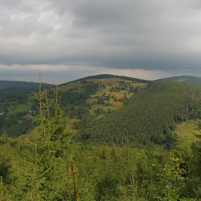 PeakCzerniawa SuchaZawojaaltitude 1 062 m2 km from Jałowiec (Jałowiec Range)Czerniawa Sucha (also Suchy Groń or Sucha Góra) is a 1,062 m summit on the main ridge of the Jałowiec Range, north of the Babia Góra massif.
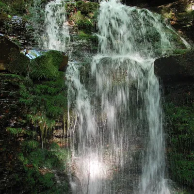 WaterfallWaterfall on the Mosorny PotokZawoja7 km from Jałowiec (Jałowiec Range)The waterfall on the Mosorny Potok (Wodospad na Mosornym Potoku), also called Mosorczyk, is one of the highest natural waterfalls of the Polish Beskids.
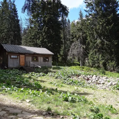 Mountain meadowMarkowe SzczawinyZawojaaltitude 1 180 m8.6 km from Jałowiec (Jałowiec Range)Markowe Szczawiny is a small meadow on the northern slopes of Babia Góra at about 1,180 m, in the commune of Zawoja in Sucha County, within Babia Góra National Park ...
Craft nearby
All craft places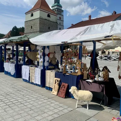 Markets & fairsFolk Art Fair in Żywiec during the Beskidy Week of CultureŻywiec20 km from Jałowiec (Jałowiec Range)The Beskidy Highlanders' Week of Culture (Tydzień Kultury Beskidzkiej, TKB) is Poland's largest folklore festival: it was first held in Wisła in 1964, and today, at...
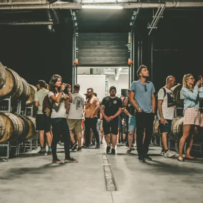 Craft beer & breweriesPINTA Brewery, Wieprz near Żywiec: tours and taproomWieprz22 km from Jałowiec (Jałowiec Range)PINTA is the brewery that Poles associate with the start of the “beer revolution”; it calls itself the country's first craft brewery.
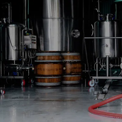 Craft beer & breweriesBrowar Zarzecze in the Żywiec Basin: craft brewery shopZarzecze23 km from Jałowiec (Jałowiec Range)Browar Zarzecze works in the village of Zarzecze near Pietrzykowice in the Żywiec Basin — a region where beer has been brewed since at least the 19th century and home...
 Water parks & thermal poolsAquapark Leśna (Żywiec)Leśna24 km from Jałowiec (Jałowiec Range)Aquapark Leśna (also called Aquapark Żywiec) is a swimming-pool complex in the village of Leśna, a few kilometres from Żywiec, in the Żywiec Basin, surrounded by the...
 Cheese dairies & pasturesBacówka na Bukowinie, Żabnica: sheep's cheese and alpacasWęgierska Górka26 km from Jałowiec (Jałowiec Range)Bacówka na Bukowinie stands on a slope above the village of Żabnica, next to Węgierska Górka, where the Żywiec Beskids meet the Silesian Beskids.
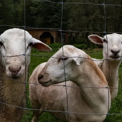 Eco farmsOrawskie Ranczo Educational Farm, Harkabuz: animals and craft workshopsHarkabuz29 km from Jałowiec (Jałowiec Range)Orawskie Ranczo is a small family educational farm (zagroda edukacyjna) in the village of Harkabuz near Raba Wyżna, where Orawa meets Podhale.
