Historic Trail
Trail map
Route, springs and shelters: © OpenStreetMap contributors (ODbL) · elevation: Copernicus DEM © DLR e.V., © Airbus DS · Data & licences
About the trail
Route Historic Trail. Has blue marking (local route, PTTK). Waymarking data: OpenStreetMap (© OpenStreetMap contributors, ODbL).
Officially marked local tourist route. The marking is blue, the sign is a triangle in the corner. Marked and maintained by: PTTK. Length of the route is 3.3 km, the route is circular. Location: mountain range - Silesian Beskids, Poland.
At a glance
A short loop route of 3.3 km with 19 m of ascent. Estimated walking time: about 1 h, not counting stops. Difficulty: easy. Waymarking: blue.
Route stages
- 0–3.5 kmGentle ups and downs at 350–370 m
Water and overnight stays
Our map shows no springs near the trail — bring your own water (at least 1 l).
When to go
The route can be walked most of the year; it is most comfortable from April to October.
Getting there
This is a loop: it brings you back to the start.
FAQ
- How long does the route take?
- Estimated walking time: about 1 h, not counting stops.
- Is there water on the route?
- Our map shows no springs near the trail — bring your own water (at least 1 l).
Comments
Trails nearby
All trails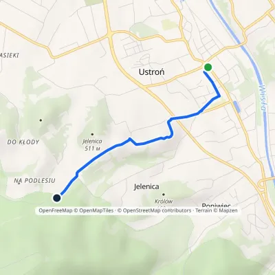
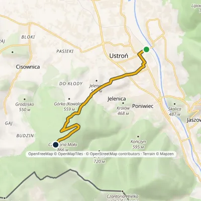
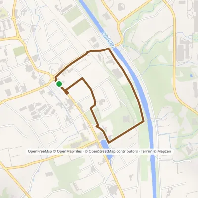
Craft nearby
All craft places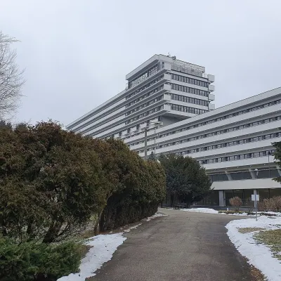 Water parks & thermal poolsUstroń spa: brine, peat and brine poolsUstrońunder 1 km from the trailUstroń is the only spa of the Silesian Beskids: the town lies where the Vistula valley leaves the mountains, between the ridges of Równica (884 m) and Czantoria Wielka...
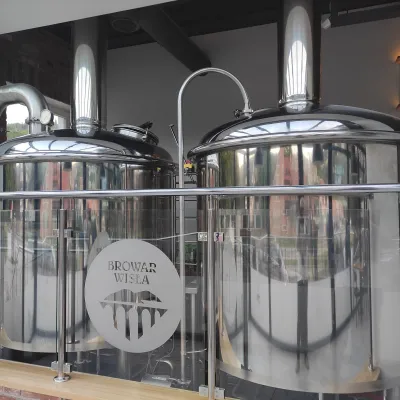 Craft beer & breweriesBrowar Wisła: craft brewpub in Wisła's old railway stationWisła7.4 km from the trailBrowar Wisła is a brewpub in the heart of the Silesian Beskids, in the spa town of Wisła, where Poland's longest river of the same name rises.
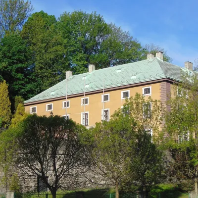 Craft beer & breweriesArchducal Castle Brewery, Cieszyn: 180 years of beer and rock cellarsCieszyn14 km from the trailThe Archducal Castle Brewery in Cieszyn (Arcyksiążęcy Browar Zamkowy Cieszyn) is one of the oldest working breweries in Poland and one of the most valuable monuments...
 Water parks & thermal poolsAquapark Leśna (Żywiec)Leśna24 km from the trailAquapark Leśna (also called Aquapark Żywiec) is a swimming-pool complex in the village of Leśna, a few kilometres from Żywiec, in the Żywiec Basin, surrounded by the...
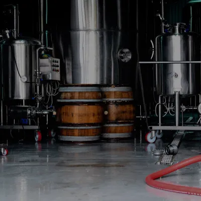 Craft beer & breweriesBrowar Zarzecze in the Żywiec Basin: craft brewery shopZarzecze25 km from the trailBrowar Zarzecze works in the village of Zarzecze near Pietrzykowice in the Żywiec Basin — a region where beer has been brewed since at least the 19th century and home...
 Cheese dairies & pasturesBacówka na Bukowinie, Żabnica: sheep's cheese and alpacasWęgierska Górka26 km from the trailBacówka na Bukowinie stands on a slope above the village of Żabnica, next to Węgierska Górka, where the Żywiec Beskids meet the Silesian Beskids.
