Chryszczata
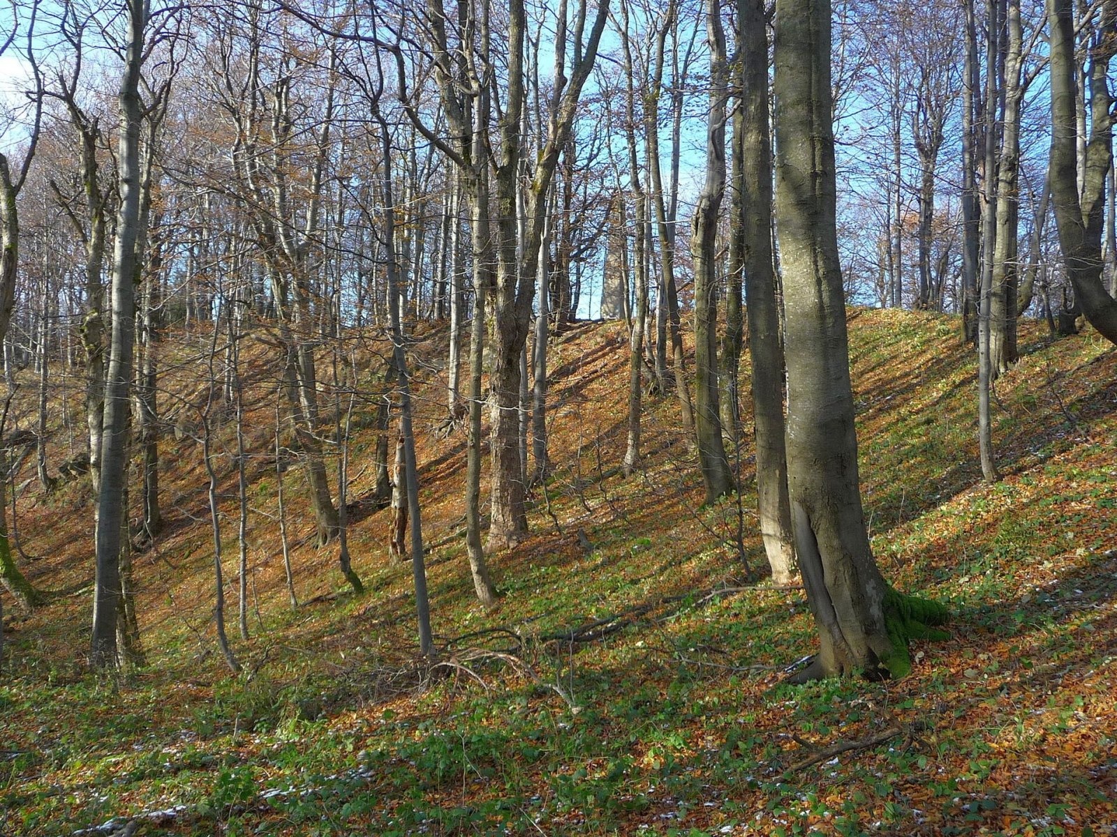
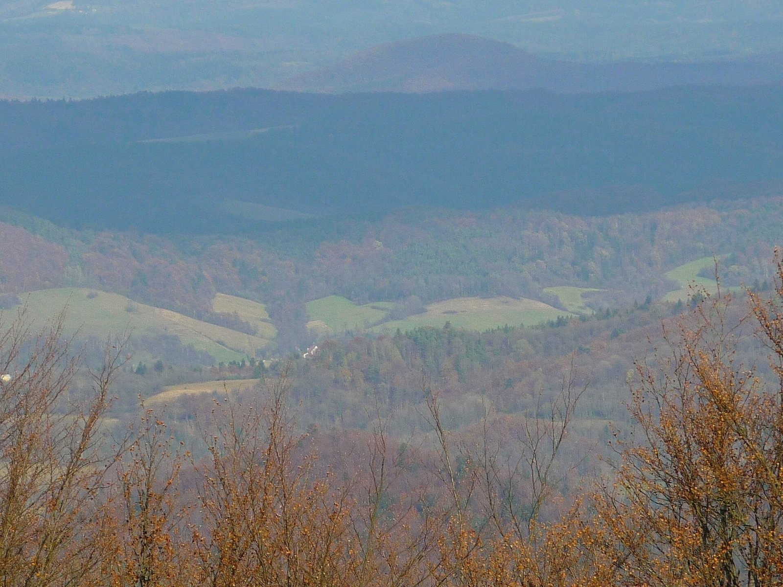
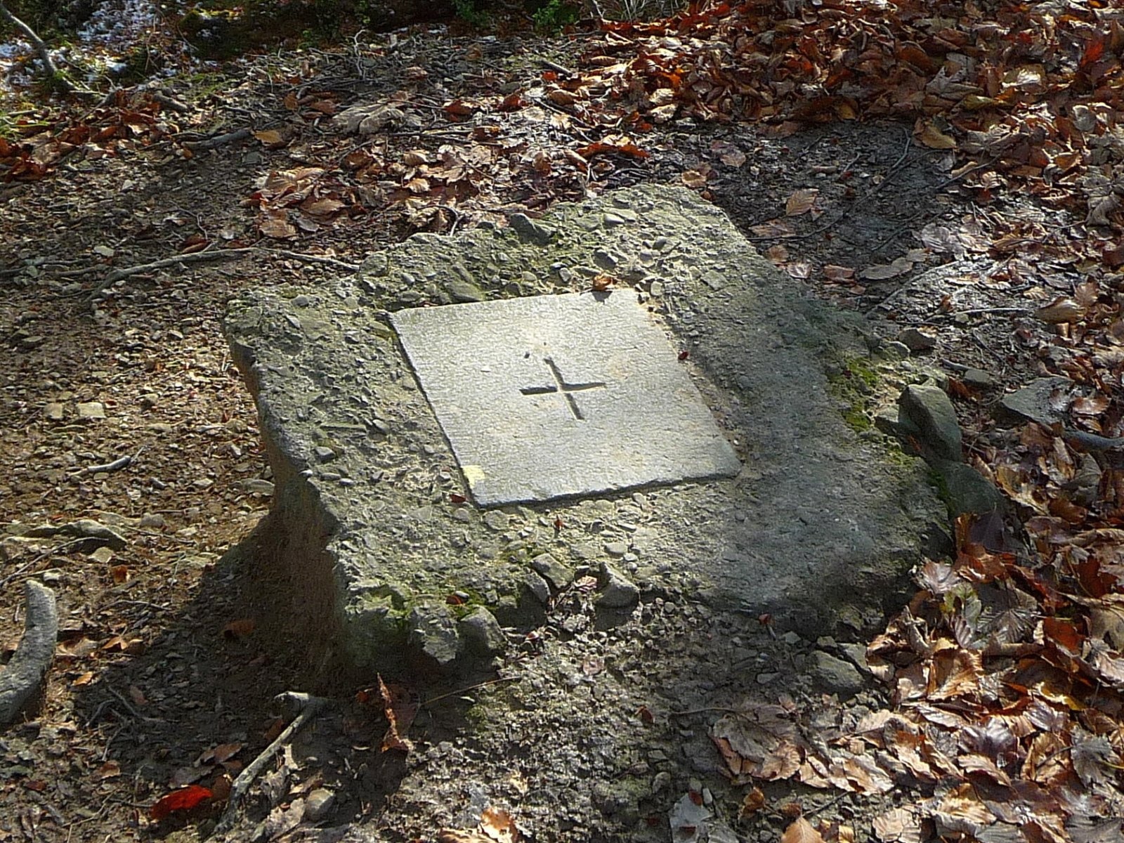
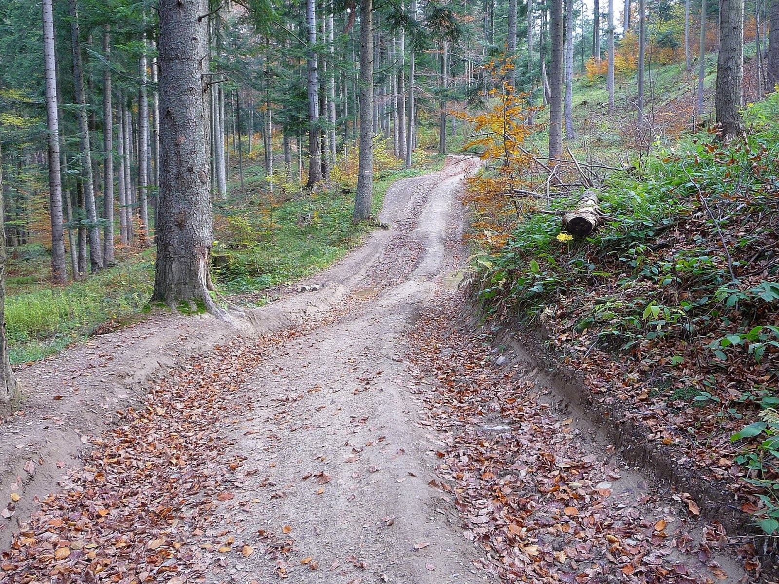
Chryszczata (Ukrainian: Khreshchata) is a forested massif and summit of 997 m in the Western Bieszczady, in the Wołosań range, also called Wysoki Dział. It rises near Komańcza, on the old boundary between the ethnographic lands of the Lemkos and the Boykos; the massif stretches about 7 km from the headwaters of the Osława to the sources of the Tarnawka and is over 3 km wide. The nearest village is Rabe, about 2.6 km from the summit; Duszatyn and Mików are about 5 km away. A concrete survey obelisk dating from the time of the Partitions of Poland stands on the top.
The name is linked either to the Lemko name of a plant, «khreshchate zillia» (herb Paris), or to a crossroads (from «khrest» – cross).
Getting there / trails
- The red Main Beskid Trail (part of E8) crosses the summit on its Duszatyn – Duszatyn Lakes – Chryszczata – Wołosań – Cisna section. From Chryszczata to Wołosań takes about 3 h 35 min (3 h 10 min back).
- A blue trail leads north from Chryszczata over Suliła (759 m) to Pogary (641 m); in OSM this is the last section of the route from Sanok.
- Yellow trails – the so-called Papal Trail to Chryszczata and a path to the student tent base at Rabe; there is also a nature trail to the summit.
The view from the summit
The summit is covered by beech forest, so there is no all-round panorama; views of the valleys and neighbouring ranges open only through gaps between the trees near the top.
Nature and history
On the north-western slopes, in the valley of the Olchowaty stream, lies the Zwiezło landscape reserve, created in 1957 and enlarged in 2024 to 484.26 ha. It protects, among other things, two landslide lakes – the Duszatyn Lakes – passed by the red trail. They formed on 13 April 1907, when, after the spring thaw and heavy rain, the western slope of Chryszczata broke away and slid down, damming the stream. The Zwiezło landslide is considered the largest known in the Polish Carpathians: some 12 million m³ of earth moved, and it is over 2 km long.
The massif bears the marks of the 20th-century wars. In the winter of 1914–1915 the front between Austrian and Russian troops crossed Chryszczata twice; rifle trenches, dugouts and now overgrown war cemeteries on Chryszczata and Maguryczne remain from that fighting. In 1944–1947 the forested massif was the scene of armed struggle: partisan units operated here, and in 1945–1947 UPA units were based in it. In an underground UPA hospital in the Chryszczata massif, on 23 January 1947, during an attack by the Polish army, everyone inside died – estimates range from 7 to 20 people. In the summer of 1947 Polish troops finally destroyed the camps in the massif. Trenches and remnants of weapons are still found on the slopes.
Safety, season and rules
Chryszczata is a forested mountain with no shelters or springs on the ridge, and the red trail here is long, so carry water and allow plenty of time. Trenches and pits on the slopes can be deep and hidden under leaves – stay on the path, and do not touch any old ammunition you may find; report it on 112. No entry ticket is needed, but this is a Natura 2000 protected area and bears and wolves live in the forests: avoid walking alone at dusk and never leave food behind.
Rescue in the Bieszczady is provided by the Bieszczady Group of the mountain rescue service GOPR: call 985 or +48 601 100 300, or the general number 112; the «Ratunek» app, which sends your position to the rescuers, is worth installing.
Photos: Henryk Bielamowicz, CC BY-SA 4.0; Henryk Bielamowicz, CC BY-SA 4.0; Henryk Bielamowicz, CC BY-SA 4.0; Henryk Bielamowicz, CC BY-SA 4.0 — Wikimedia Commons.
Getting there from Ukraine
Border crossings
- Krakovets – Korczowa — road, 24/7
- Shehyni – Medyka — road, 24/7 Pedestrian crossing is not confirmed by the Ukrainian border service — check dpsu.gov.ua before the trip.
- Smilnytsia – Krościenko — road, 24/7
- Hrushiv – Budomierz — road, 24/7
- Mostyska – Przemyśl (rail) — rail, 24/7
By car
Lviv – Sanok ≈168 km, ≈3 h 20 min without queues: road to Shehyni → Shehyni – Medyka checkpoint → Przemyśl → DK28 via Bircza to Sanok (≈83 km, ≈1 h 45 min from the border). Alternative via Krakovets – Korczowa: A4 to the Radymno exit, DK77 to Przemyśl and DK28 (≈185 km from Lviv, ≈3 h 25 min). For the Bieszczady proper, Smilnytsia – Krościenko is handier: Lviv – Sambir – Staryi Sambir – border, then DK84 via Ustrzyki Dolne to Sanok (≈203 km, ≈5 h; ≈57 km from the border). From Krościenko to Ustrzyki Górne by DW896 ≈53 km (≈1 h 40 min; ≈200 km and ≈4 h 50 min from Lviv), to Wetlina by DW896 and DW897 ≈69 km (≈216 km and ≈5 h from Lviv). From Sanok: Ustrzyki Górne ≈82 km (DK84 via Lesko, then DW896, ≈1 h 35 min), Wetlina ≈72 km (DK84 to Lesko, DW894 via Baligród and Cisna, DW897, ≈1 h 20 min).
Checked 23.10.2026; border crossing hours and timetables change — check before you travel.
Location on the map
Comments
Trails nearby
All trails HardMulti-dayMarkedMain Trail of BeskidyElevation profile309–1 723 m499.9 kmascent 19 519 munder 1 km from Chryszczata
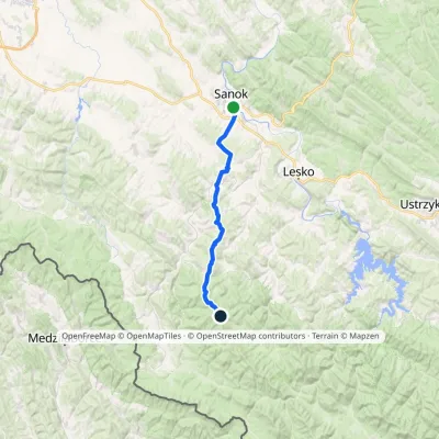 HardMulti-dayMarkedSanok ChryszczataElevation profile291–998 m34.2 kmascent 1 314 m≈ 11 h walkingunder 1 km from Chryszczata
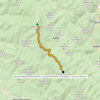 EasyOne-dayMarkedTrail to Rabe Tent BaseElevation profile637–998 m7.4 kmascent 361 m≈ 2.5 h walkingunder 1 km from Chryszczata
Nearby attractions
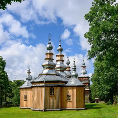 ChurchChurch of St Michael the Archangel in Turzańsk8.3 km from ChryszczataThe Church of St Michael the Archangel in Turzańsk is a wooden church in the Osława valley, south of Lesko and Zagórz, on the border between Lemko and Boyko lands.
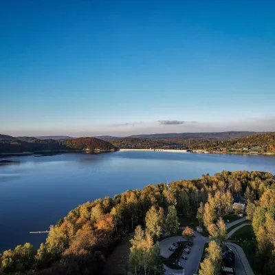 LakeLake Solina and the Solina Dam22 km from ChryszczataLake Solina (Jezioro Solińskie) is Poland's largest reservoir by volume and the main summer resort of the Bieszczady.
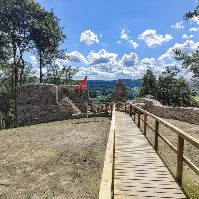 CastleSobień Castle ruins27 km from ChryszczataSobień is the ruin of a medieval castle on a wooded hill above the San near the village of Manasterzec, a few kilometres north of Lesko.
Craft nearby
All craft places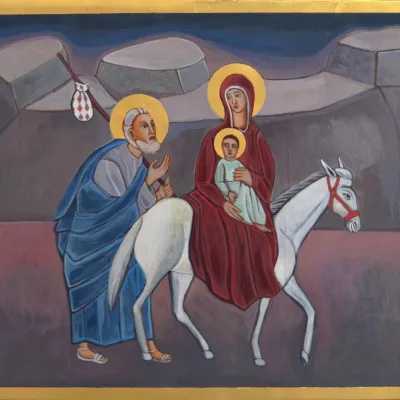 Crafts & workshopsVeraikon Icon Studio, Cisna: Carpathian icons and workshops15 km from ChryszczataThe Veraikon Icon Studio (Pracownia Ikon Veraikon) in Cisna is, in its owners' words, the oldest and largest icon studio in the Bieszczady.
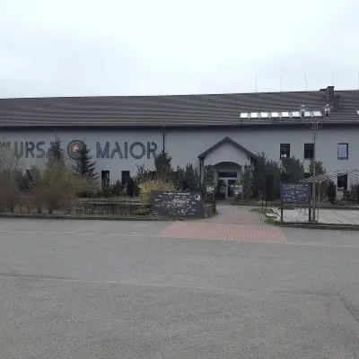 Craft beer & breweriesUrsa Maior Brewery, Uherce Mineralne25 km from ChryszczataUrsa Maior, or the Bieszczady Brewery (Bieszczadzka Wytwórnia Piwa), is an independent craft microbrewery in the village of Uherce Mineralne, between Lesko and...
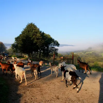 Cheese dairies & pasturesBieszczadzka Koza Goat Cheese Farm, Smolnik38 km from ChryszczataBieszczadzka Koza ("the Bieszczady Goat") is a family goat farm and artisan cheese dairy in the village of Smolnik on the San, in the eastern Polish Bieszczady, right...
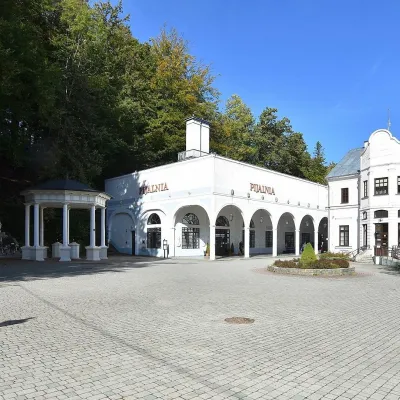 Water parks & thermal poolsIwonicz-Zdrój: mineral-water pump room, pool and salt cave41 km from ChryszczataIwonicz-Zdrój is the largest and oldest spa in the Podkarpackie region, a quiet little town in wooded hills south of Krosno, on the threshold of the Low Beskids.
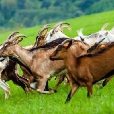 Cheese dairies & pasturesFIGA Organic Goat Cheese Farm, Mszana near Dukla43 km from ChryszczataThe FIGA organic family farm in the Lemko village of Mszana near Dukla is one of Poland's oldest goat cheese dairies.
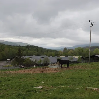 Horse ridingHucul Horse Stud in Wołosate, Bieszczady National Park44 km from ChryszczataWołosate is the southernmost inhabited village in Poland, tucked away in the valley of the Wołosatka stream below Tarnica, the highest peak of the Polish Bieszczady.
