Wierchomla Mała – Bacówka nad Wierchomlą
Trail map
Route, springs and shelters: © OpenStreetMap contributors (ODbL) · elevation: Copernicus DEM © DLR e.V., © Airbus DS · Data & licences
About the trail
Route Wierchomla Mała – Bacówka nad Wierchomlą. Has black marking (regional route, PTTK Nowy Sącz). Waymarking data: OpenStreetMap (© OpenStreetMap contributors, ODbL).
Officially marked regional tourist route. Marking is black, sign — horizontal stripe on a white background. Marked and maintained by: PTTK Nowy Sącz. Length of the route — 4 km. Location: mountain range — Sądecki Beskid, Poland.
At a glance
A short route of 4 km with 2 m of ascent and 370 m of descent from Wierchomla Mała to Bacówka nad Wierchomlą. Estimated walking time: about 1 h, not counting stops. Difficulty: easy. Waymarking: black.
Route stages
- 0–1 kmGentle ups and downs at 790–890 m
- 1–2 kmDescent of 170 m (down to 626 m)
- 2–4 kmGentle ups and downs at 520–630 m
Steepest kilometre: km 1–2, a descent of 190 m (≈19%).
Water and overnight stays
Our map shows no springs near the trail — bring your own water (at least 1 l).
Huts and shelters near the trail: Bacówka PTTK nad Wierchomlą (km 0).
When to go
The route can be walked most of the year; it is most comfortable from April to October.
Getting there
Start: Wierchomla Mała. This is a one-way route: the finish is 3 km from the start in a straight line, so plan your way back in advance.
FAQ
- How long does the route take?
- Estimated walking time: about 1 h, not counting stops.
- Is there water on the route?
- Our map shows no springs near the trail — bring your own water (at least 1 l).
- Where can I stay overnight?
- Huts and shelters near the trail: Bacówka PTTK nad Wierchomlą (km 0).
Water and shelter on the route
- Bacówka PTTK nad Wierchomląkm 0 from the start · Standing · 887 m
Comments
Trails nearby
All trails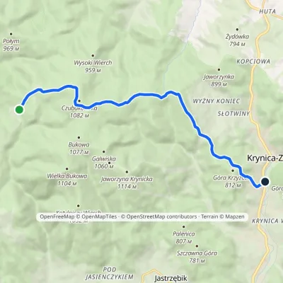 EasyOne-dayMarkedBacówka PTTK pod Wierchomlą Krynica-ZdrójElevation profile571–1 080 m11.1 kmascent 238 m≈ 3.5 h walking
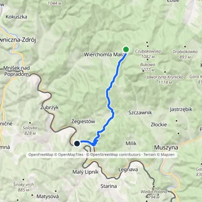 ModerateOne-dayMarkedŻegiestów Bacówka PTTK pod WierchomląElevation profile413–1 041 m13.2 kmascent 235 m≈ 4 h walking
 HardMulti-dayMarkedMain Trail of BeskidyElevation profile309–1 723 m499.9 kmascent 19 519 m
Craft nearby
All craft places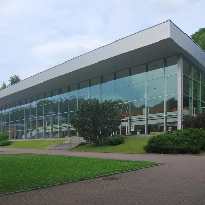 Water parks & thermal poolsKrynica-Zdrój pump rooms: tasting the mineral watersKrynica-Zdrój8.2 km from the trailKrynica-Zdrój grew up around its mineral springs, and the best way to feel the spa is to walk round its pump rooms and taste the local waters.
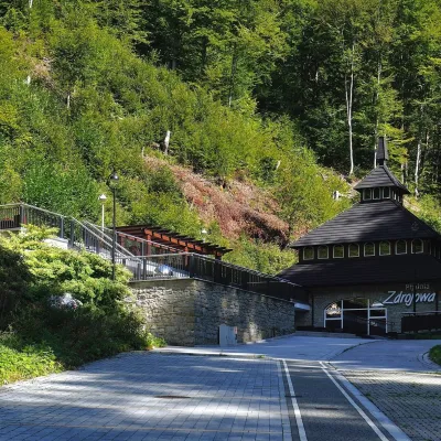 Water parks & thermal poolsŻegiestów-Zdrój spa: the Anna pump room and the Spa HouseŻegiestów8.4 km from the trailŻegiestów-Zdrój is a small spa in the narrow Poprad valley in the Beskid Sądecki, a kilometre and a half from the village of Żegiestów and a few kilometres from Muszyna.
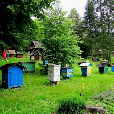 Honey & meaderiesBarć Apiary in Kamianna, the Beekeepers' VillageKamianna12 km from the trailThe Barć ("Bee Tree") apiary in the Lemko village of Kamianna, between Krynica-Zdrój and Nowy Sącz, is one of Poland's best-known beekeeping places, and Kamianna is...
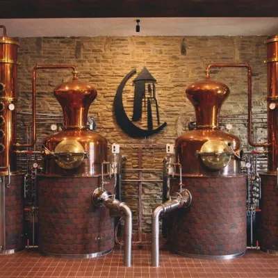 Craft producersCastle Distillery below Ľubovňa Castle: fruit spirits and tastingsStará Ľubovňa17 km from the trailStará Ľubovňa is a town in northern Spiš, overlooked by Ľubovňa Castle. For more than three and a half centuries Ľubovňa was one of the Spiš towns pledged to the...
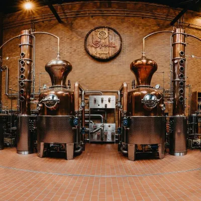 Craft producersSpišská Pálenica, Stará Ľubovňa: distillery tour and Spiš borovičkaStará Ľubovňa19 km from the trailSpiš boasts perhaps the oldest history of distilling in Europe: at the hillfort of Myšia Hôrka near Spišský Štvrtok, part of a distillation vessel from around 1500 BC...
 Craft beer & breweriesPersonall Kraft Brewpub, Stary SączStary Sącz20 km from the trailPersonall Kraft is a family-run brewpub in Stary Sącz where the beer is brewed right in the dining hall: the big brewing vessels are visible from the tables.
