Humenné, mesto – Hôrka
Trail map
Route, springs and shelters: © OpenStreetMap contributors (ODbL) · elevation: Copernicus DEM © DLR e.V., © Airbus DS · Data & licences
About the trail
Route Humenné, mesto – Hôrka. Has blue marking (regional route №2812, KST). Waymarking data: OpenStreetMap (© OpenStreetMap contributors, ODbL).
Officially marked regional tourist route No. 2812. The marking is blue, the sign is a horizontal stripe on a white background. Marked and maintained by: KST. Length of the route — 21.5 km. Location: mountain range — Vygorlat, Slovakia.
At a glance
A one-day route of 21.5 km with 573 m of ascent from Humenné, mesto to Hôrka. Estimated walking time: about 6.5 h, not counting stops. Difficulty: moderate. Waymarking: blue.
Route stages
- 0–14 kmGentle ups and downs at 130–470 m
- 14–17 kmDescent of 290 m (down to 170 m)
- 17–21 kmGentle ups and downs at 140–180 m
Steepest kilometre: km 16–17, a descent of 210 m (≈21%).
Water and overnight stays
Springs near the trail: at km 3, 5, 13, 14 and 16. There are no springs between km 5 and 13 — carry at least 1.5 l of water.
When to go
The route can be walked most of the year; it is most comfortable from April to October.
Getting there
Start: Humenné, mesto. This is a one-way route: the finish is 16 km from the start in a straight line, so plan your way back in advance.
FAQ
- How long does the route take?
- Estimated walking time: about 6.5 h, not counting stops.
- Is there water on the route?
- Springs near the trail: at km 3, 5, 13, 14 and 16. There are no springs between km 5 and 13 — carry at least 1.5 l of water.
Water and shelter on the route
- Lejbaňa Springkm 3 from the start · 100 m off the path · Not verified · 156 m
- Slávička Tapkm 4.9 from the start · 290 m off the path · Not verified · 239 m
- Spring below Uhliskákm 13.2 from the start · Not verified · 391 m
- Javorina, Oreské Springkm 14.4 from the start · Not verified · 392 m
- Spring below Pľuštiekm 15.9 from the start · 210 m off the path · Not verified · 304 m
Comments
Trails nearby
All trails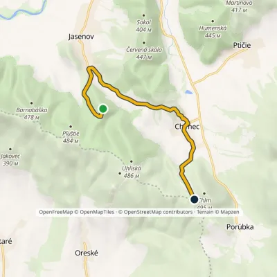 EasyOne-dayMarkedJasenov, under the castle ChlmElevation profile169–442 m7.1 kmascent 351 m≈ 2.5 h walking
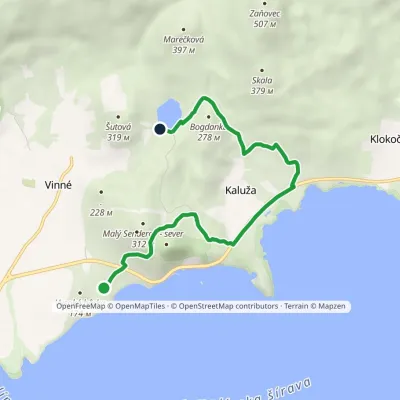 EasyOne-dayMarkedVinianske jazero HôrkaElevation profile117–258 m7.2 kmascent 246 m≈ 2.5 h walking
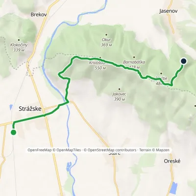 ModerateOne-dayMarkedKrivošťany Jasenov, CastleElevation profile132–548 m10.1 kmascent 465 m≈ 3.5 h walking
Craft nearby
All craft places Water parks & thermal poolsThermalpark Šírava in Kaluža, Zemplínska ŠíravaKaluža2.2 km from the trailThermalpark Šírava (Thermalpark ŠÍRAVA) stands in the village of Kaluža on the northern shore of the Zemplínska Šírava — a large reservoir in eastern Slovakia.
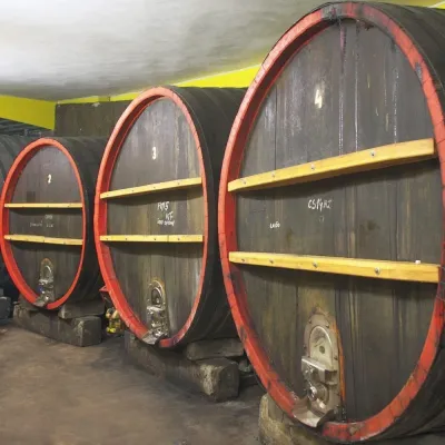 Wine & tastingsPivnica Orechová below Vihorlat: tastings in a deep wine cellarOrechová21 km from the trailVihorlat is a volcanic range in eastern Slovakia, best known for the Morské oko lake and its beech primeval forests.
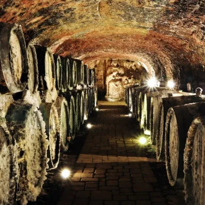 Wine & tastingsJ&J Ostrožovič Winery, Veľká Tŕňa: Tokaj tasting 13 m undergroundVeľká Tŕňa43 km from the trailFew people realise that Tokaj is not only a Hungarian wine. A small part of the historic Tokaj wine region lies in Slovakia: seven villages on the southern slopes of...
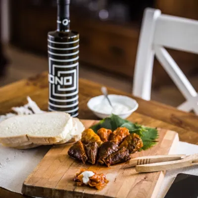 Wine & tastingsTokaj Macik Winery, Malá Tŕňa: organic Tokaj and cellar tastingsVeľká Tŕňa44 km from the trailMalá Tŕňa is the heart of Slovak Tokaj: its Medzipivničná ("Between-the-Cellars") Street runs along the stone portals of old cellars.
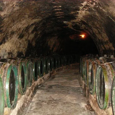 Wine & tastingsTokaj & CO, Malá Tŕňa: tasting in a 2.5 km historic cellarMalá Tŕňa44 km from the trailMalá Tŕňa is the heart of the Slovak part of the Tokaj wine region, and its wines have their place in history: the village coat of arms shows a man holding a golden...
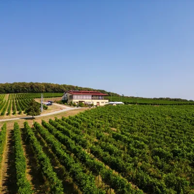 Wine & tastingsMEA GRATI Winery, Ladmovce: tastings amid Tokaj vineyardsLadmovce45 km from the trailA winery on the border of two wine lands On the hills between the villages of Ladmovce and Viničky, above the Bodrog valley, two Slovak wine regions meet: Tokaj and...
