Koľvek – Na žľaboch
Trail map
Route, springs and shelters: © OpenStreetMap contributors (ODbL) · elevation: Copernicus DEM © DLR e.V., © Airbus DS · Data & licences
About the trail
Route Koľvek – Na žľaboch. Has blue marking (local route, KST). Waymarking data: OpenStreetMap (© OpenStreetMap contributors, ODbL).
Officially marked local tourist route. The marking is blue, the sign is a triangle on a white background. Marked and maintained by: KST. Length of the route — 2.1 km. Location: mountain range — Slovak Rudohorie, Slovakia.
At a glance
A short route of 2.1 km with 149 m of ascent from Koľvek to Na žľaboch. Estimated walking time: about 1 h, not counting stops. Difficulty: easy. Waymarking: blue.
Route stages
- 0–1.5 kmClimb of 120 m to Koľvek (800 m)
- 1.5–2 kmGentle ups and downs at 850–900 m
Steepest kilometre: km 0–1, a climb of 90 m (≈9%), near Koľvek.
Water and overnight stays
Springs near the trail: at km 0.5 and 2.
When to go
The route can be walked most of the year; it is most comfortable from April to October.
Getting there
Start: Koľvek.
FAQ
- How long does the route take?
- Estimated walking time: about 1 h, not counting stops.
- Is there water on the route?
- Springs near the trail: at km 0.5 and 2.
Water and shelter on the route
- Spring below Koľvekkm 0.7 from the start · 190 m off the path · Not verified · 762 m
- Spring near the Troughkm 2.1 from the start · Has water · 861 m
Comments
Trails nearby
All trails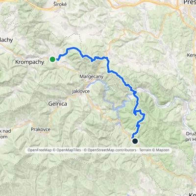 HardMulti-dayMarkedRichnava, stop Košická BeláElevation profile277–1 028 m35.9 kmascent 1 446 m≈ 12 h walking
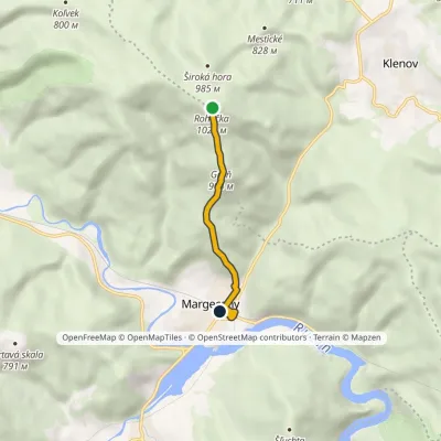 EasyOne-dayMarkedMargecany, station RoháčkaElevation profile335–1 028 m4.2 kmascent 6 m≈ 1 h walking
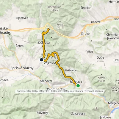 HardTwo-dayMarkedRichnava, stop SľubicaElevation profile352–1 129 m20.5 kmascent 1 420 m≈ 8 h walking
Craft nearby
All craft places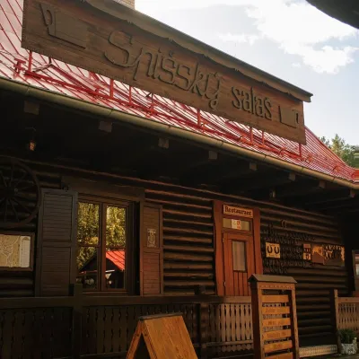 Koliby & Hutsul cuisineSpišský salaš below Spiš Castle: Spiš cooking since 1964Spišská Kapitula19 km from the trailBetween Spiš Castle and Spišská Kapitula, at the edge of the plain below the travertine mound of Sivá brada, stands the wooden Spišský salaš.
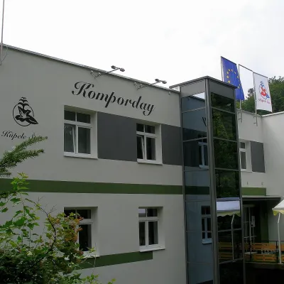 Water parks & thermal poolsŠtós spa: climatic cure, speleotherapy and poolŠtós28 km from the trailKúpele Štós is a climatic spa in south-eastern Slovakia, in the settlement of Štós-kúpele a few kilometres north of the mining village of Štós, where the Volovské...
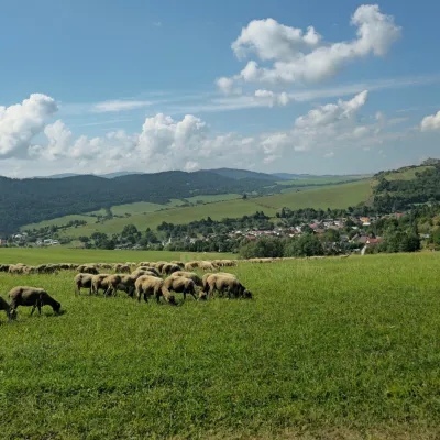 Cheese dairies & pasturesFarma Kamenica — Family Sheep Farm and Cheese Dairy in ŠarišKamenica30 km from the trailKamenica is a village in northern Šariš, in the valley of the Kameničanka stream, at about 483 m above sea level.
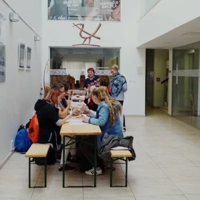 Crafts & workshopsÚĽUV Craft Centre Košice: craft workshops and folk-art shopBaška31 km from the trailÚĽUV (Ústredie ľudovej umeleckej výroby, the Centre for Folk Art Production) is a state institution that has looked after Slovak folk crafts since 1945: it keeps a...
 Crafts & workshopsMacák Pottery on Košice’s Craft Lane: ceramics and coursesHrašovík32 km from the trailHrnčiarska Street in Košice old town is known as the "Craft Lane" (Ulička remesiel): craftspeople work in small houses below the walls of the former town fortifications.
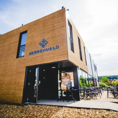 Craft beer & breweriesHerrenwald craft brewery, Malá Ida: tour with the brewerMalá Ida32 km from the trailThe Herrenwald brewery stands in its Panský les ("Lords’ Wood") quarter, from whose German name it takes its own.
