Jaworki – Korbalowa Pass/Stráňanské Saddle
Trail map
Route, springs and shelters: © OpenStreetMap contributors (ODbL) · elevation: Copernicus DEM © DLR e.V., © Airbus DS · Data & licences
About the trail
Route Jaworki – Korbalowa Pass/Stráňanské Saddle. Has green marking (regional route, PTTK Szczawnica). Waymarking data: OpenStreetMap (© OpenStreetMap contributors, ODbL).
Officially marked regional tourist route. The marking is green, the sign is a horizontal stripe on a white background. Marked and maintained by: PTTK Szczawnica. Length of the route — 4.2 km. Location: mountain range — Pieniny, Poland.
At a glance
A short route of 4.2 km with 393 m of ascent from Jaworki to Korbalowa Pass/Stráňanské Saddle. Estimated walking time: about 1.5 h, not counting stops. Difficulty: easy. Waymarking: green.
Route stages
- 0–3.5 kmClimb of 370 m to Wysokie Skałki (1,050 m)
- 3.5–4 kmGentle ups and downs at 930–950 m
Steepest kilometre: km 2.5–3.5, a climb of 230 m (≈22%), near Wysokie Skałki.
Water and overnight stays
Springs near the trail: at km 1.5 and 3.5.
When to go
The route can be walked most of the year; it is most comfortable from April to October.
Getting there
Start: Jaworki. This is a one-way route: the finish is 3 km from the start in a straight line, so plan your way back in advance.
FAQ
- How long does the route take?
- Estimated walking time: about 1.5 h, not counting stops.
- Is there water on the route?
- Springs near the trail: at km 1.5 and 3.5.
Water and shelter on the route
- Spring below Homolekm 1.7 from the start · Not verified · 701 m
- Spring below Vysoké Skalky / Wysokakm 3.3 from the start · Not verified · 886 m
Comments
Trails nearby
All trails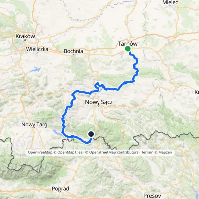 HardMulti-dayMarkedTarnów Wielki RogaczElevation profile206–1 211 m191.5 kmascent 6 941 m
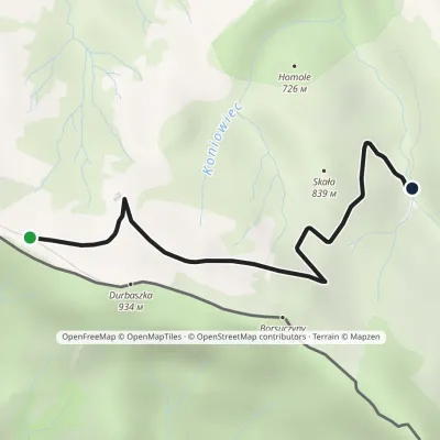 EasyOne-dayMarkedJunction Hut under DurbaszkaElevation profile707–900 m3 kmascent 30 m≈ 45 min walking
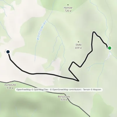 EasyOne-dayMarkedBaza namiotowa Pod Wysoką Hut under DurbaszkaElevation profile707–900 m2.4 kmascent 188 m≈ 60 min walking
Craft nearby
All craft places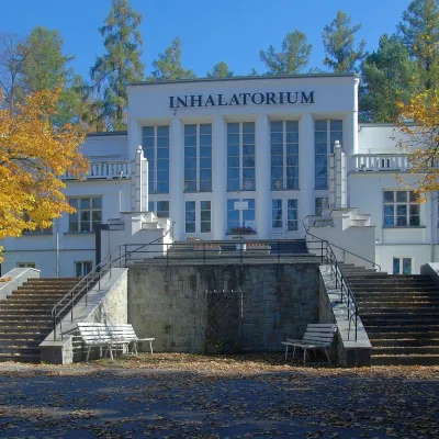 Water parks & thermal poolsSzczawnica spa: pump room, waters and the InhalatoriumSzczawnica5.3 km from the trailThe Szczawnica spa (Uzdrowisko Szczawnica) is all about water and air: in the valley of the Grajcarek stream, between the Pieniny and the Beskid Sądecki at 430–500 m,...
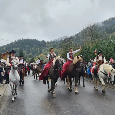 Markets & fairsAutumn Redyk in Szczawnica: sheep drive, oscypek and shepherdsSzczawnica7 km from the trailRedyk is an old Carpathian shepherding custom: in spring the flocks are driven up to the mountain pastures (hale), and in autumn, after the cheese-making season, they...
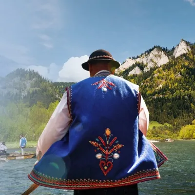 Ethno tours & guidesGoral raftsmen of Červený Kláštor: wooden-raft trip on the DunajecČervený Kláštor10 km from the trailBetween Červený Kláštor and Lesnica the Dunajec cuts a deep, winding gorge through the limestone Pieniny, and here the river becomes the border between Slovakia and...
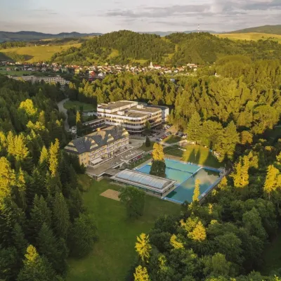 Water parks & thermal poolsVyšné Ružbachy Spa: Izabela Mountain Pools and Indoor Thermal PoolVyšné Ružbachy11 km from the trailVyšné Ružbachy is one of Slovakia’s oldest spas. It lies on the south-eastern slope of the Spišská Magura at about 617 m, surrounded by coniferous forest that merges...
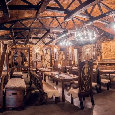 Craft producersNestville Distillery, Hniezdne — Home of the First Slovak WhiskyHniezdne13 km from the trailThis tradition is the basis for BGV, a company founded in 2001, which built the Nestville Distillery here.
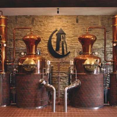 Craft producersCastle Distillery below Ľubovňa Castle: fruit spirits and tastingsStará Ľubovňa14 km from the trailStará Ľubovňa is a town in northern Spiš, overlooked by Ľubovňa Castle. For more than three and a half centuries Ľubovňa was one of the Spiš towns pledged to the...
