Vlkolínec
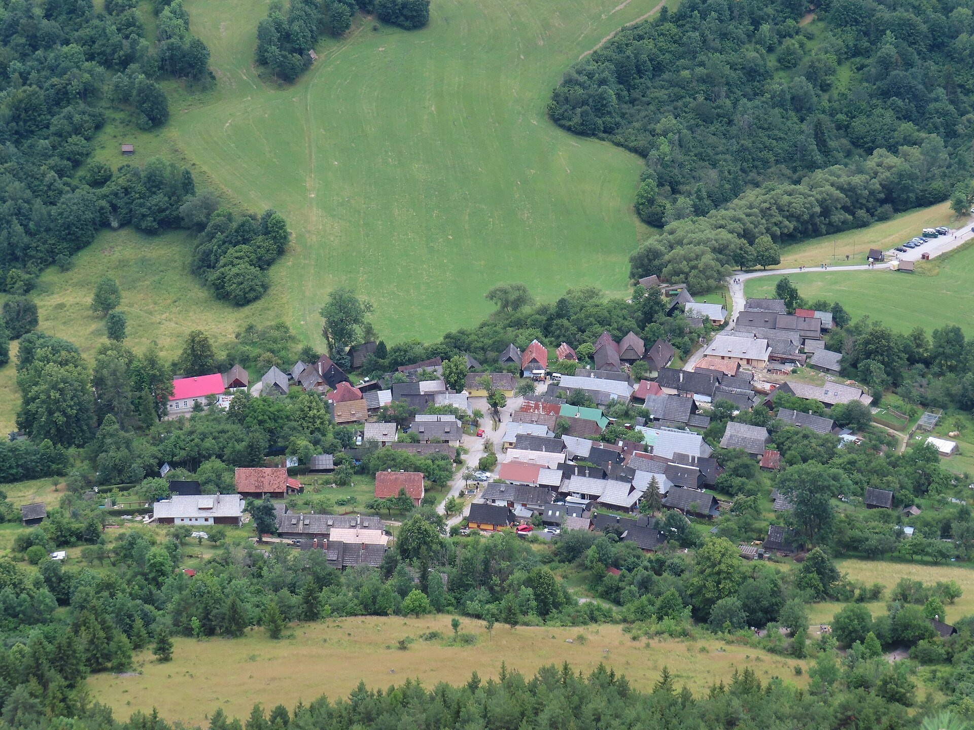
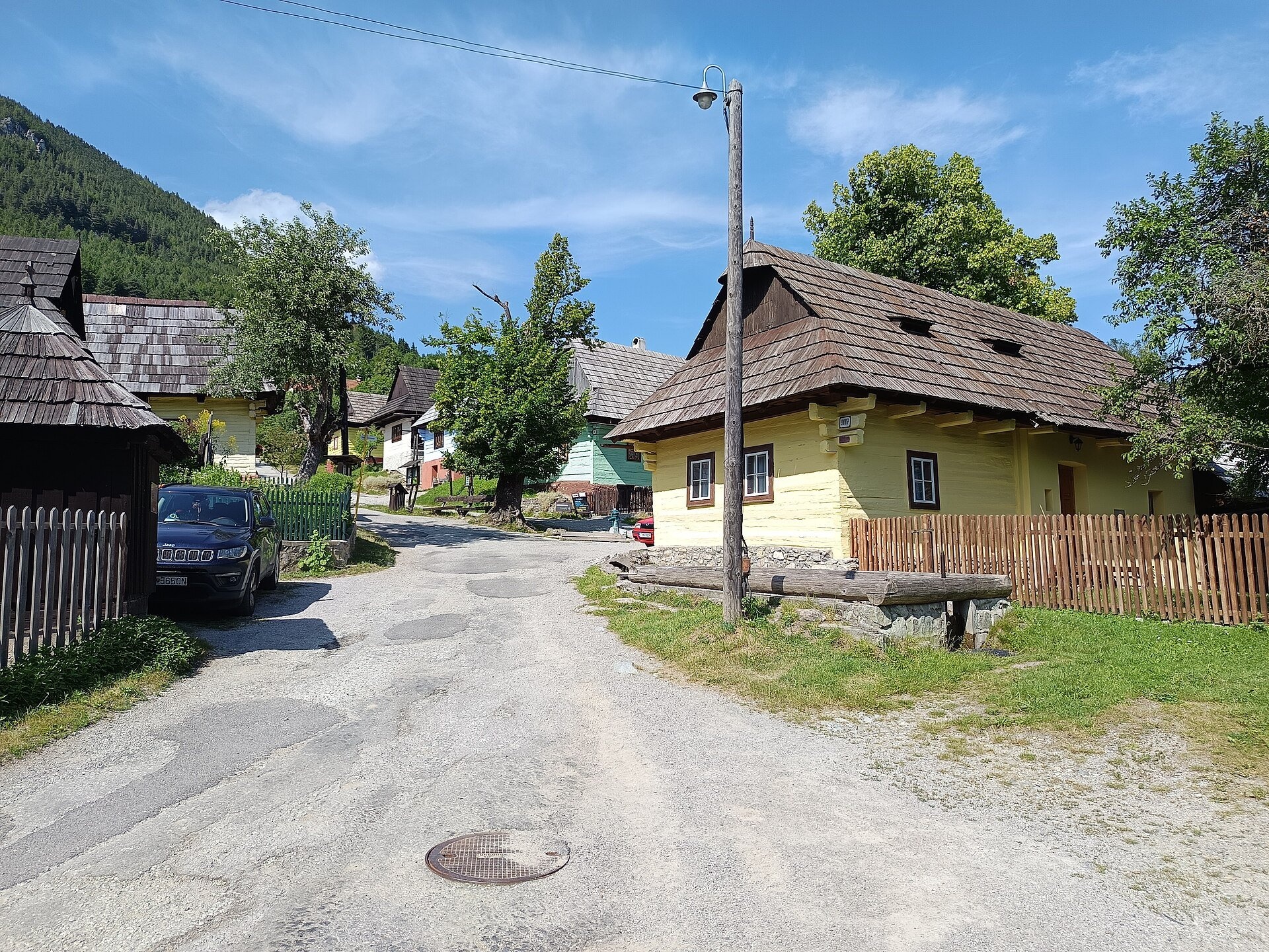
The wolf village below Sidorovo
Vlkolínec is a mountain settlement on the slopes of the Veľká Fatra below Sidorovo hill, formally part of the town of Ružomberok. It preserves the original layout and structure of a settlement of cottars (the poorest peasants), shepherds and woodcutters: log cottages line a stream on a steep slope, surrounded by orchards, terraced fields, meadows with wooden haystacks and forests. In 1993 Vlkolínec was inscribed on the UNESCO World Heritage List as one of the best-preserved ensembles of folk architecture in Central Europe.
The first direct written record of the village dates from 1461 (an indirect one from 1376), when it was mentioned as one of the “streets” of Ružomberok. The name comes from the word for wolf — wolves were plentiful in the surrounding forests. Yet people lived here much earlier: on the summit of Sidorovo (1,099 m), which locals call Žiar, stood a Hallstatt refuge hillfort in the early Iron Age. In 1625 the village had four farmsteads and five cottar households. The inhabitants kept sheep and cattle, kept bees, made cheese and bryndza, felled timber, burned charcoal and made shingles.
Important: Vlkolínec is not an open-air museum but a living village. People still live here permanently — from small children to pensioners — and some houses belong to weekenders.
What to see
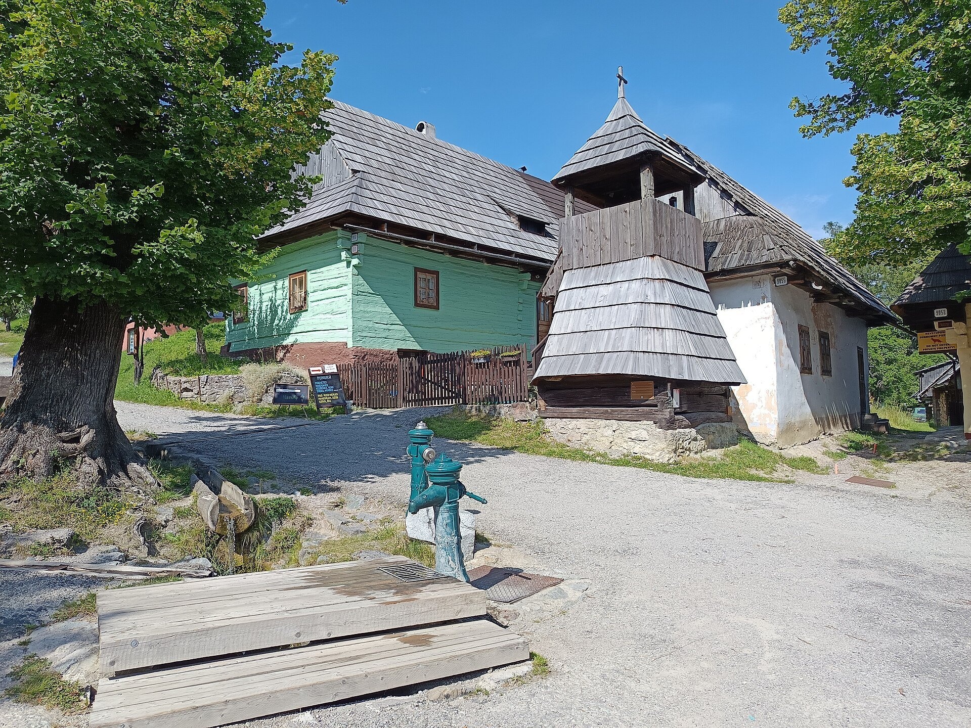
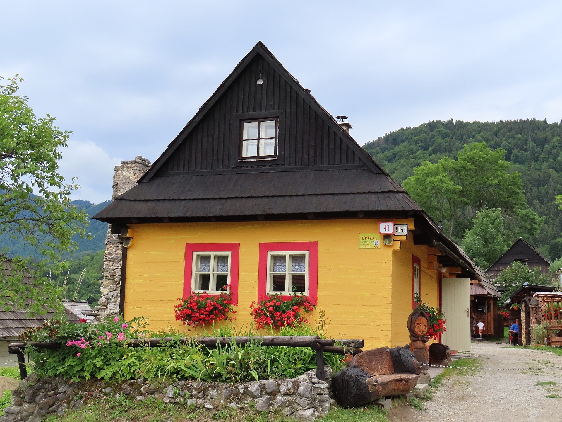
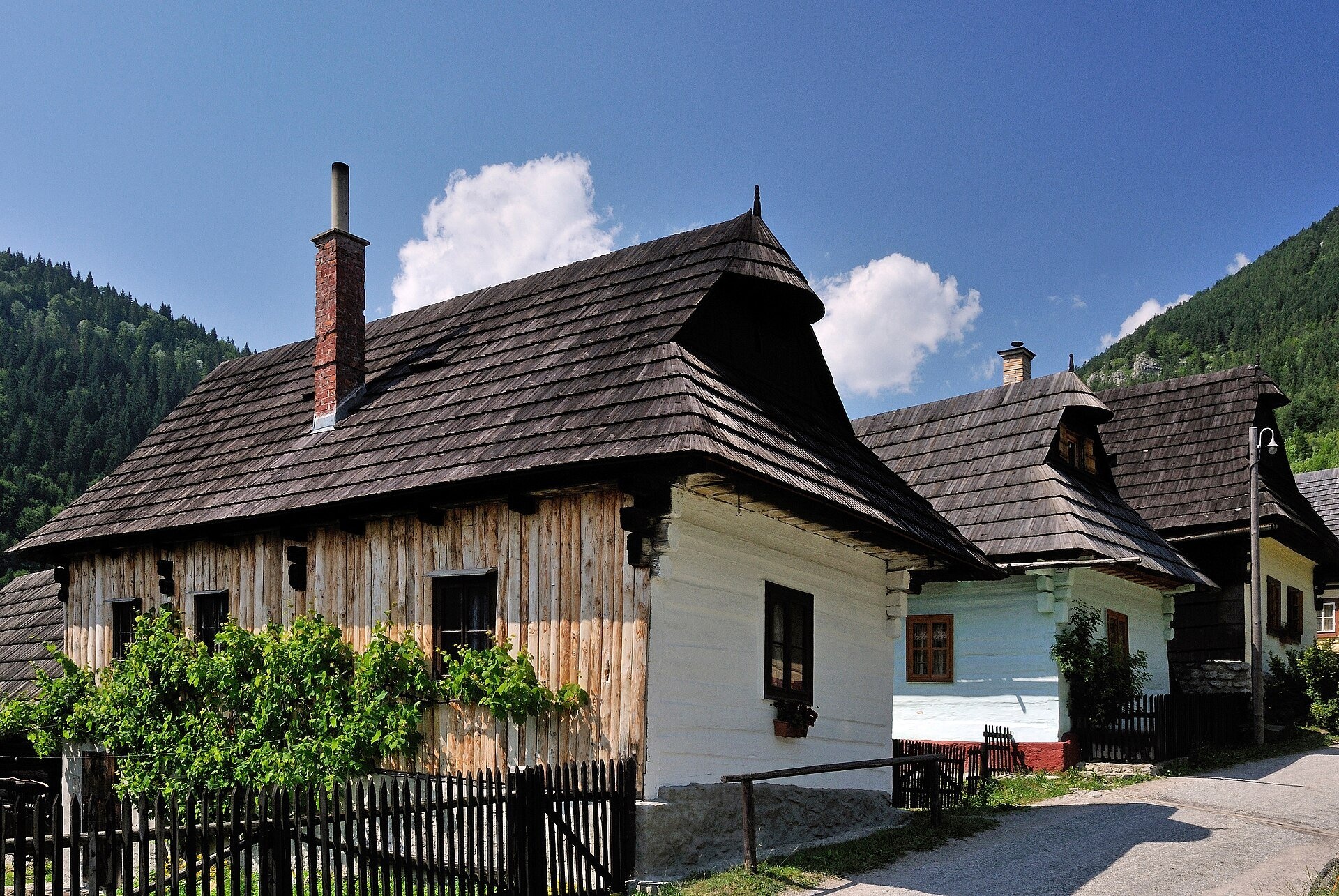
The houses are built of hewn conifer logs on a stone base and roofed with shingles. Most have three rooms: an entrance hall that served as a kitchen, a pantry, and a living room where the whole family lived and slept. Vlkolínec's special feature is that the log walls are painted with coloured lime, so the street looks like a row of blue, yellow and pink cottages.
- the wooden log belfry of 1770 — the village's oldest building;
- the wooden windlass well of 1860, once the only source of drinking water;
- the Liptov Museum's “Farmhouse and Yard” exhibition, the Folk House and the Granary, plus a gallery and the UNESCO House with information;
- views of the Veľká Fatra and walks towards Sidorovo or to a restored hay barn on the nature trail.
Practical information
Getting there. From Ružomberok take road 59 (E77) south towards Banská Bystrica. After about 6 km, in the Biely Potok district, turn right after the restaurant, cross the bridge over the Revúca and turn right again; after 300 m, at the replica of the Vlkolínec belfry, turn left into the Trlenská valley. It is 11 km from the centre of Ružomberok, and a taxi costs €15–25. From Liptovský Mikuláš it is about 33 km, from Zakopane about 97 km. Cars may not enter the village: leave yours in the car park below the settlement (€5 per day); group coaches park in the Trlenská valley, 1.1 km from the village (about 15 minutes on foot) or 0.8 km via the Hôrka nature trail.
Hours and tickets. You can stroll the streets at any time — you only pay for parking. The exhibition ticket costs €8 for adults and €4 for seniors 65+ and children 6–15. In autumn 2026 (16 Sep–31 Oct) the exhibitions are open Tuesday to Sunday from 10:00 to 16:00. Book a guided tour with historical commentary in Slovak or English at least 24 hours ahead ([email protected]).
Rules. Keep quiet, do not enter private yards, keep dogs on a lead, and cyclists should walk through the village. No tents or fires; the surroundings belong to the Veľká Fatra National Park.
Nearby
Above Ružomberok rise the ruins of Likava Castle, and above Liptovská Mara Liptov Castle. Liptov's wooden churches continue with the articular church in Svätý Kríž.
Official website: vlkolinec.sk
Photos: Fallaner, CC BY 4.0, Wikimedia Commons; Fry72, CC BY-SA 4.0, Wikimedia Commons; 10ricardo, CC BY-SA 4.0, Wikimedia Commons; Miro Svorc, CC BY-SA 4.0, Wikimedia Commons.
Getting there from Ukraine
Border crossings
- Uzhhorod – Vyšné Nemecké — road, 24/7
- Malyi Bereznyi – Ubľa — road, 24/7 For cars and buses; pedestrians not confirmed by the Ukrainian border service, lorries up to 3.5 t.
- Mali Selmentsi – Veľké Slemence (pedestrian) — pedestrian, 09:00–21:00 Kyiv time Pedestrians and cyclists only; inconvenient for the Tatras without onward transport.
- Chop – Čierna nad Tisou (rail) — rail, 24/7
By car
From Uzhhorod ≈275 km, ≈3 h 35 min without queues: Uzhhorod – Vyšné Nemecké → I/19 to Košice → D1 motorway via Prešov, Poprad and Liptovský Mikuláš to Ružomberok (≈270 km, ≈3 h 25 min from the border). From Lviv it is faster through Poland: M-10 → Krakovets – Korczowa → A4 to Kraków → S7/DK7 to the Chyżne – Trstená border → R3 and I/59 via Dolný Kubín to Ružomberok: ≈482 km, ≈6 h 15 min (via Uzhok and Ubľa ≈500 km, ≈7 h 30 min). The D1 requires an e-vignette (eznamka.sk).
Checked 23.10.2026; border crossing hours and timetables change — check before you travel.
Location on the map
Comments
Trails nearby
All trails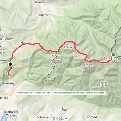 HardMulti-dayMarkedÚstie Kvačianskej doliny Pyšné sedlovia VolovecElevation profile644–2 169 m27.6 kmascent 1 322 m≈ 9.5 h walking25 km from Vlkolínec
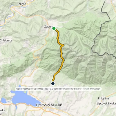 ModerateTwo-dayMarkedJalovec ZuberecElevation profile683–1 579 m17.6 kmascent 772 m≈ 6 h walking27 km from Vlkolínec
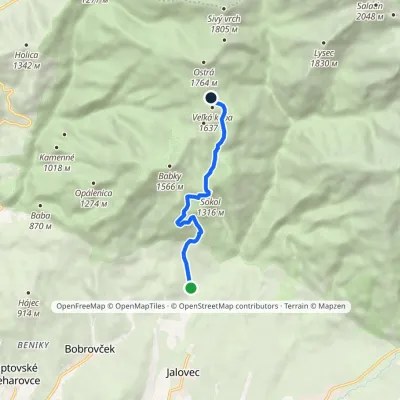 ModerateOne-dayMarkedBobrovecká Vápenica Predúvratie SaddleElevation profile751–1 594 m6.1 kmascent 833 m≈ 3 h walking29 km from Vlkolínec
Nearby attractions
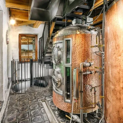 Craft beer & breweriesURSUS craft brewery, Čutkovská valley4.9 km from VlkolínecURSUS craft brewery (Remeselný pivovar URSUS) is the first brewery of the town of Ružomberok, tucked away in the picturesque Čutkovská valley in lower Liptov.
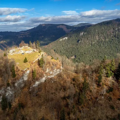 CastleLiptov Castle (ruins)16 km from VlkolínecLiptov Castle (Liptovský hrad), also known as Liptov Old Castle or Sielnica Castle, is the ruin of a medieval fortress on the summit of Sestrč (999.9 m) in the Choč...
 LakeLiptovská Mara20 km from VlkolínecLiptovská Mara is a large reservoir on the Váh river in central Liptov, by the town of Liptovský Mikuláš, with views of the Western and Low Tatras.
Craft nearby
All craft places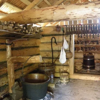 Cheese dairies & pasturesSalaš Krajinka near Ružomberok8.3 km from VlkolínecSalaš Krajinka is a genuine sheep farm on the edge of Ružomberok in lower Liptov. It was founded in 1983 to keep a thousand sheep, and the owners have deliberately...
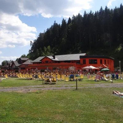 Water parks & thermal poolsLúčky Spa and AQUA-VITAL Park14 km from VlkolínecLúčky Spa (Kúpele Lúčky) lies in a quiet valley beneath the Choč Mountains, in the village of Lúčky near Ružomberok.
 Water parks & thermal poolsBešeňová Water Park14 km from VlkolínecBešeňová — the "thermal heart of Liptov" Bešeňová Water Park (Vodný park Bešeňová) lies on the edge of the village of the same name in the western part of the Liptov...
 Koliby & Hutsul cuisineSalaš Dechtáre above Liptovská Mara18 km from VlkolínecSalaš Dechtáre is a wooden koliba above the Liptovská Mara reservoir that is described as one of Slovakia’s first commercial salaš restaurants.
 Water parks & thermal poolsAquapark Tatralandia23 km from VlkolínecAquapark Tatralandia is a large year-round water leisure complex near Liptovský Mikuláš, on the northern shore of the Liptovská Mara reservoir.
 Water parks & thermal poolsTERMAL raj thermal bath, Liptovský Ján29 km from VlkolínecLiptovský Ján: thermal water at the entrance to Jánska dolina Liptovský Ján is an old village in southern Liptov, about 10 km from Liptovský Mikuláš, at the entrance...
