Lomnický štít
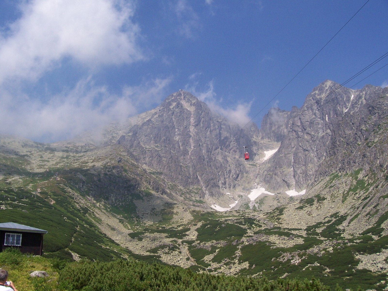
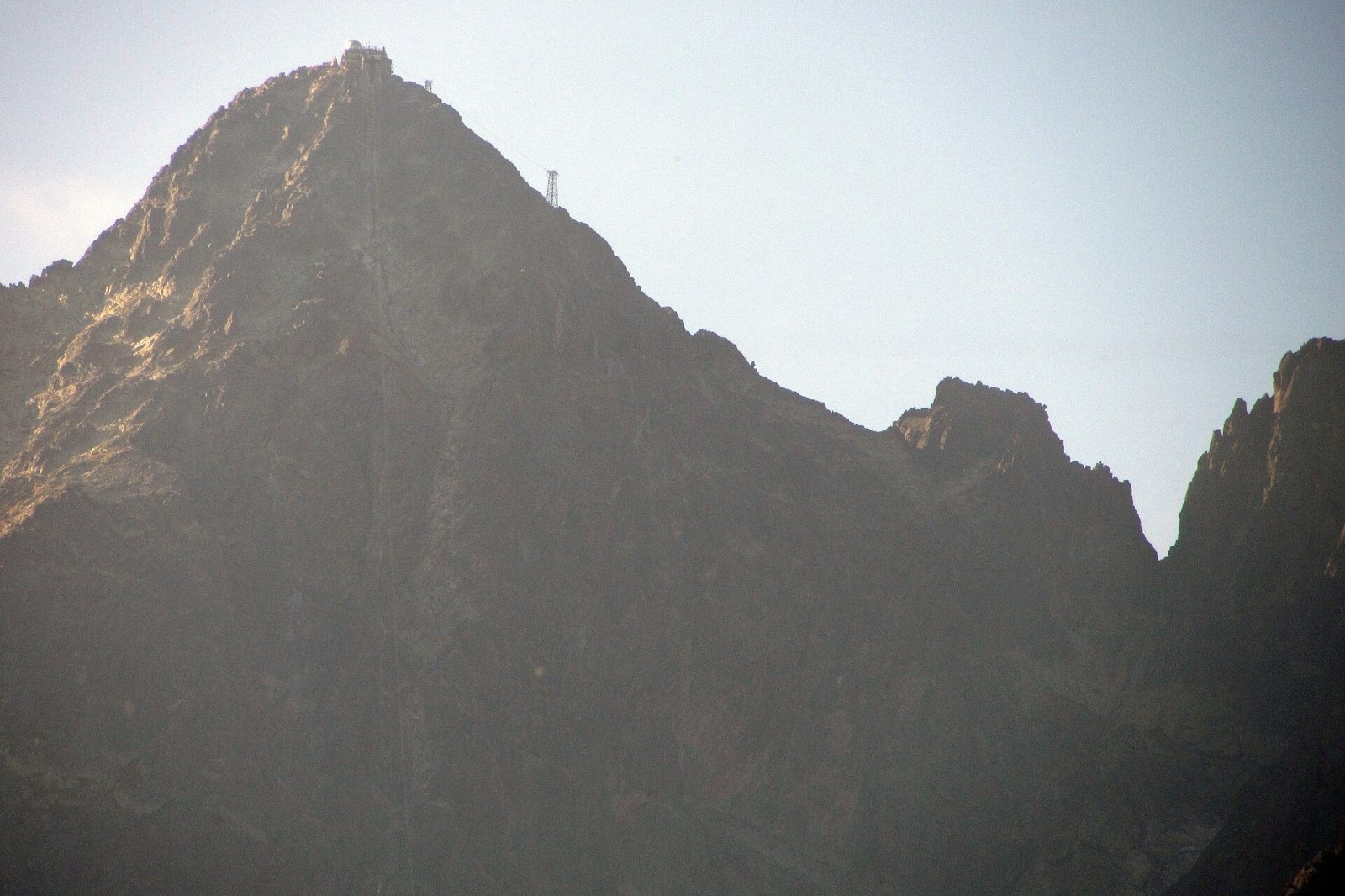
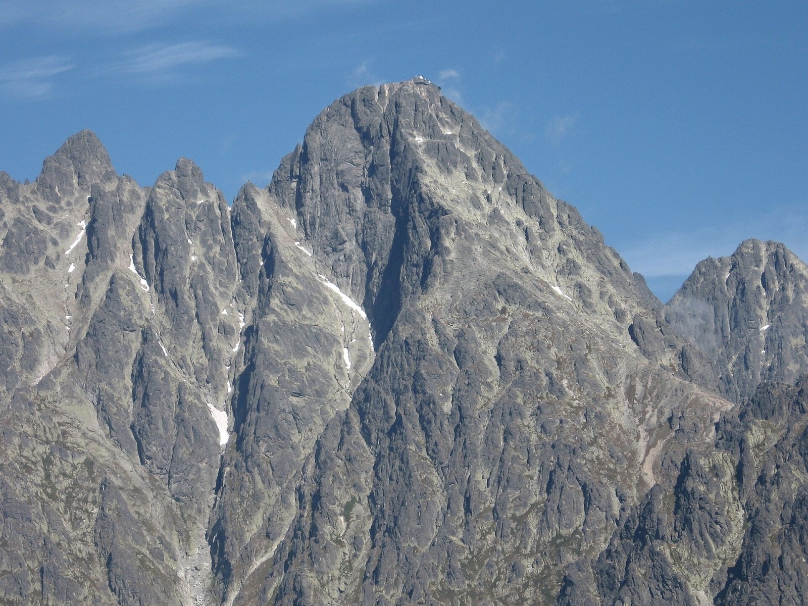
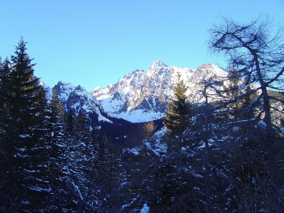
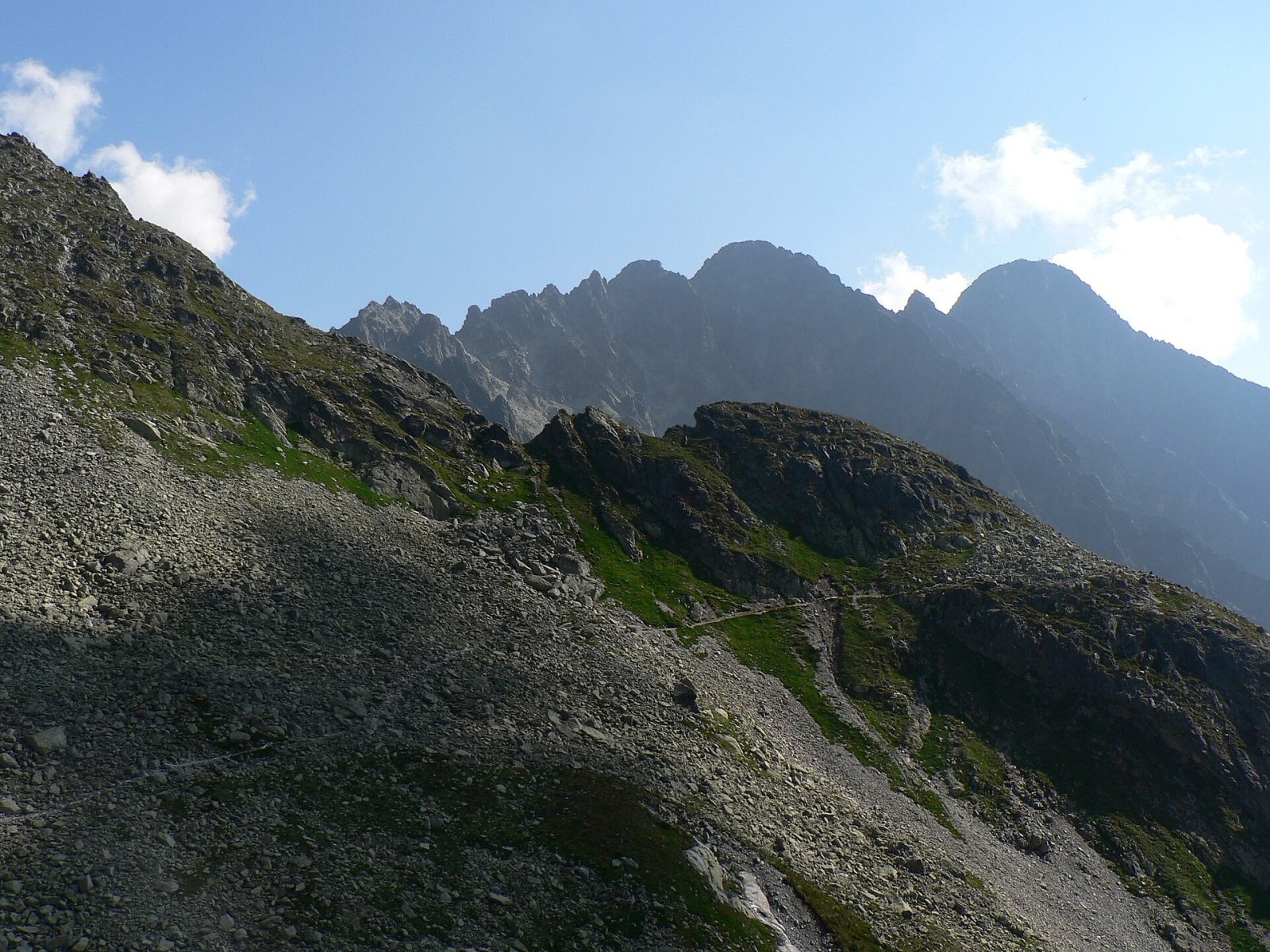
Lomnický štít (Polish Łomnica, German Lomnitzer Spitze) is one of the highest and most visited peaks of the High Tatras. It is 2634 m high (Slovak sources give 2633.8 m); only Gerlachovský štít is higher in the Tatras and the Carpathians. The three-sided pyramid rises above Skalnaté pleso and the resort of Tatranská Lomnica (about 6 km to the south-east), some 15 km north of Poprad. Its slopes climb almost 2 km above the Sub-Tatra Basin, and the summit carries an observatory and the upper station of a cable car. Until the mid-19th century Lomnica was thought to be the highest mountain of the Tatras.
Three ridges leave the summit: the north-western one over Pyšný and Spišský štít to Baranie rohy and the main ridge, the north-eastern one over the Vidlové towers to Kežmarský štít, and the southern Lomnický hrebeň over Lomnická kopa and the Lomnické sedlo saddle down to the Zamkovského chata hut. Below lie Malá Studená dolina, Skalnatá dolina and the Medená kotlina cirque.
How to get there / routes
There is no marked hiking trail to Lomnický štít. For most visitors the way up is by cable car:
- from Tatranská Lomnica by gondola via the Štart station to Skalnaté pleso (about 1770 m), which can also be reached on foot;
- from Skalnaté pleso by aerial cableway straight to the summit. The line was built in 1936–1940 and was then one of the most modern in Europe; altogether the lifts overcome some 1700 m of height.
Tickets for the upper section are sold for a specific time slot and the cabin is small, so the day's tickets often sell out early. According to reference sources, the stay on the summit is usually limited to about 50 minutes, and the cableway is normally closed in May for annual maintenance – check timetables and conditions with the operator.
On foot, the summit may only be climbed with a mountain guide or by registered climbers. The most popular guided route is the classic "Emericyho nárek" from Lomnické sedlo (2189 m), which can also be reached by lift from Skalnaté pleso; the harder passages are protected by steel steps and chains. Other routes – the Jordán route from Téryho chata, Medené lávky from Chata pri Zelenom plese, the Gypsy ferrata and the Cmiter route – are much harder and exposed to rockfall.
The view from the summit
The summit offers a full panorama. The Slovak Tatra expert Ivan Bohuš wrote that some 300 distinct peaks and towers can be seen from here, looking like waves whipped up by a storm. On clear days you can see the valleys and peaks of the High and Belianske Tatras – Malá and Veľká Studená dolina, the Valley of the Five Spiš Tarns, Skalnaté pleso, Jahňací, Kežmarský and Pyšný štít – as well as the Sub-Tatra Basin and a belt of mountains from Ďumbier in the Low Tatras across Kozie chrbty, the Spiš-Gemer Karst, the Volovské, Slanské and Levočské vrchy to southern Poland and the Orava Beskids.
Nature and history
The mountain is built of granodiorite. Its name comes from the Lomnica stream and the village of Veľká Lomnica, within whose boundaries the summit lay until 1947; in the 18th century it was called "the highest rock of Kežmarok", locals knew it as Dedo ("Grandad"), and Poles called it the Queen of the Tatras. The first person on the top was probably the Kežmarok shoemaker and prospector Jakob Fábry, sometime between 1760 and 1790; the first recorded ascent was made on 16 or 17 August 1793 by the English physician and traveller Robert Townson, whose barometer reading was only about 10 m off. In 1802 or 1804 Stanisław Staszic carried out research here. The first winter ascent took place on 27 December 1891 – Theodor Wundt with the guide Jakob Horvay.
The summit hosts the Lomnický štít observatory, the highest in Slovakia: a weather station and, since 1957–1962, astronomical (solar) instruments; a TV relay station has operated here since 1957. The climate is harsh: the mean annual temperature is about −3 °C, annual precipitation around 1900 mm, and in March 2009 the snow cover reached 410 cm.
Safety, season and rules
- Leaving the marked trails without a guide is prohibited in TANAP. The marked high-mountain trails around, e.g. to Lomnické sedlo or Téryho chata, are closed from 1 November to 31 May, and hiking is allowed only in daylight. Details on the TANAP website.
- Even if you ride up, it is cold and windy on top: in summer the temperature rarely exceeds 15 °C, so bring warm clothes.
- Rescue: Mountain Rescue Service HZS – 18 300 (+421 18 300), general emergency number 112.
Interesting facts
- Until 1870 Lomnica was the most visited summit of the High Tatras; as early as 1857 the writer Maria Steczkowska noted that on fine days there was almost always someone on top.
- Former Czechoslovak president Ludvík Svoboda climbed the peak on foot more than ten times.
- From the 15th century the silhouette of Lomnica appeared in the coat of arms of the Berzeviczy family of Veľká Lomnica.
Photos: Avrilka, Public domain; Falk2, CC BY-SA 4.0; Bubamara, Public domain; Kristo, CC BY-SA 3.0; Krzysztof Dudzik-Górnicki (User:ToSter), CC BY-SA 3.0; Ing.Mgr-Jozef Kotulič, CC BY-SA 4.0; Peter Orság (user:Peko), CC BY-SA 3.0 — Wikimedia Commons.
Getting there from Ukraine
Border crossings
- Uzhhorod – Vyšné Nemecké — road, 24/7
- Malyi Bereznyi – Ubľa — road, 24/7 For cars and buses; pedestrians not confirmed by the Ukrainian border service, lorries up to 3.5 t.
- Mali Selmentsi – Veľké Slemence (pedestrian) — pedestrian, 09:00–21:00 Kyiv time Pedestrians and cyclists only; inconvenient for the Tatras without onward transport.
- Chop – Čierna nad Tisou (rail) — rail, 24/7
By car
Uzhhorod – Poprad ≈195 km, ≈2 h 55 min without queues: Uzhhorod – Vyšné Nemecké checkpoint → I/19 via Sobrance and Michalovce → Košice → D1 motorway via Prešov → Poprad (Liptovský Mikuláš is ≈56 km further on the D1, total ≈249 km). Košice – Poprad ≈112 km. The D1 requires an e-vignette (eznamka.sk). Note: from Lviv the fastest way to Poprad is through Poland — Krakovets – A4 – Kraków – Zakopane – Łysa Polana ≈468 km (≈5 h 50 min); via Uzhok and Malyi Bereznyi ≈419 km but slower (≈6 h 40 min). Zakopane – Poprad ≈69 km, Zakopane – Liptovský Mikuláš ≈80 km.
Checked 23.10.2026; border crossing hours and timetables change — check before you travel.
Location on the map
Comments
Trails nearby
All trails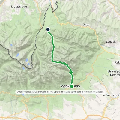 HardTwo-dayMarkedStary Smokowiec Tatrzańska JaworinaElevation profile996–2 342 m22.4 kmascent 1 377 m≈ 8.5 h walking1 km from Lomnický štít
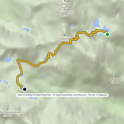 EasyOne-dayMarkedTéryho chata Zbojnícka chataElevation profile1 970–2 260 m4.9 kmascent 242 m≈ 1.5 h walking1.1 km from Lomnický štít
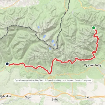 HardMulti-dayMarkedTatranská magistrála (Tatra Highway): Podbanské Veľké Biele plesoElevation profile929–2 043 m50.1 kmascent 1 603 m1.3 km from Lomnický štít
Nearby attractions
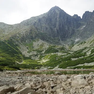 LakeSkalnaté pleso, Observatory and Lomnický štít Cable Car1.6 km from Lomnický štítSkalnaté pleso is a small moraine lake in the lowest cirque of the Skalnatá valley below Lomnický štít, at about 1,751–1,754 m.
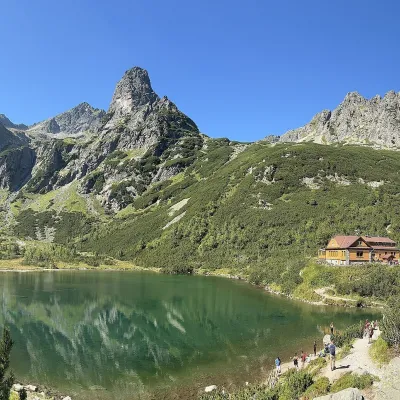 LakeZelené pleso (Kežmarské)1.7 km from Lomnický štítZelené pleso, often called Kežmarské Zelené pleso, is a moraine lake in the Dolina Zeleného plesa valley in the north-east of the High Tatras, at 1,545 m.
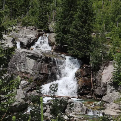 WaterfallStudený potok Waterfalls and Hrebienok3.4 km from Lomnický štítThe Studený potok waterfalls (Vodopády Studeného potoka), known in Polish literature as the Zimna Woda waterfalls, are one of the oldest tourist attractions of the...
Craft nearby
All craft places Cheese dairies & pasturesShepherd's Hut on Rusinowa Polana12 km from Lomnický štítRusinowa Polana is one of the most beautiful mountain glades in the Polish Tatras, and from May to October it is home to the bacówka (shepherd's hut) of baca Stanisław...
 Water parks & thermal poolsAquaCity Poprad water park17 km from Lomnický štítAquaCity Poprad is a large year-round water park and wellness complex in the town of Poprad, a few minutes from the centre; according to the complex, the High Tatras...
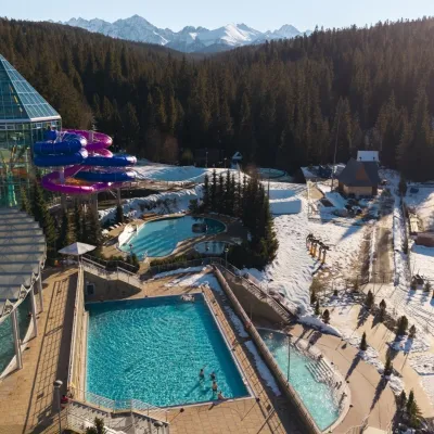 Water parks & thermal poolsTermy Bukovina17 km from Lomnický štítTermy Bukovina is a modern thermal pool complex in Bukowina Tatrzańska, a village lying about a thousand metres above sea level on the edge of the Tatra National Park.
 Craft beer & breweriesMinipivovar TATRAS, Poprad17 km from Lomnický štítMinipivovar TATRAS is a brewpub on Poprad’s main square, Námestie sv. Egídia, housed in a building with a long brewing history.
 Cheese dairies & pasturesFurtek's Shepherd's Huts, Kuźnice and Kalatówki19 km from Lomnický štítAbove Kuźnice — the southern edge of Zakopane where most hikes into the Western and High Tatras begin — the flocks are tended by baca Andrzej Staszel, nicknamed "Furtek".
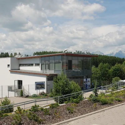 Water parks & thermal poolsThermal Park Vrbov20 km from Lomnický štítThermal Park Vrbov is one of the best-known thermal baths in the Spiš region, on the southern edge of the village of Vrbov, about 6 km (as the crow flies) from...
