Health Path: Truskavets — Tsiukhiv Dil (VeloBeskydy)
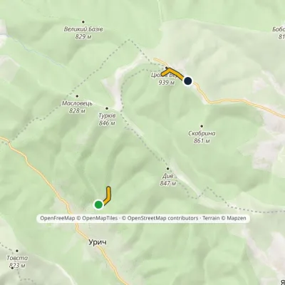
Trail map
Route, springs and shelters: © OpenStreetMap contributors (ODbL) · elevation: Copernicus DEM © DLR e.V., © Airbus DS · Data & licences
Where to stay nearby




About the trail
Route Health Path: Truskavets – Tsiukhiv Dil (VeloBeskydy). Has red marking (local route). Waymarking data: OpenStreetMap (© OpenStreetMap contributors, ODbL).
Officially marked local tourist route. Marking is red, sign — horizontal stripe on a white background. Marked and maintained by: Department of Tourism and Resorts of Lviv Oblast. Route length — 13.1 km. Location: mountain range — Verkhniodnistrovski Beskydy, Lviv Oblast.
At a glance
A one-day route of 13.1 km with 763 m of ascent from Truskavets to Tsiukhiv Dil (VeloBeskydy). Estimated walking time: about 4.5 h, not counting stops. Difficulty: moderate. Waymarking: red.
Route stages
- 0–3 kmGentle ups and downs at 380–470 m
- 3–5 kmClimb of 300 m (up to 763 m)
- 5–7 kmGentle ups and downs at 760–790 m, past Mount Bobovyshche
- 7–9 kmDescent of 200 m (down to 578 m)
- 9–12 kmClimb of 290 m (up to 864 m)
- 12–13 kmGentle ups and downs at 860–940 m
Steepest kilometre: km 4–5, a climb of 140 m (≈14%).
Water and overnight stays
Springs near the trail: at km 0, 2 and 3. There are no springs between km 3 and 13 — carry at least 2 l of water.
Places to stay near the start: Truskavets; near the finish: Skhidnytsia.
When to go
The route can be walked most of the year; it is most comfortable from April to October.
Getting there
Start: Truskavets. This is a one-way route: the finish is 7 km from the start in a straight line, so plan your way back in advance.
FAQ
- How long does the route take?
- Estimated walking time: about 4.5 h, not counting stops.
- Is there water on the route?
- Springs near the trail: at km 0, 2 and 3. There are no springs between km 3 and 13 — carry at least 2 l of water.
- Where can I stay overnight?
- Places to stay near the start: Truskavets; near the finish: Skhidnytsia.
Water and shelter on the route
- Well (Truskavets)km 0.2 from the start · Not verified · 381 m
- Spring (Truskavets, 4)km 1.6 from the start · Not verified · 426 m
- Spring (Truskavets, 2)km 2.1 from the start · 190 m off the path · Not verified · 449 m
- Spring (Truskavets, 3)km 3 from the start · Not verified · 517 m
Before you go, check the border-regime restrictions: Border Guard permit for mountain hikes (in Ukrainian)
Comments
Trails nearby
All trails
Craft nearby
All craft places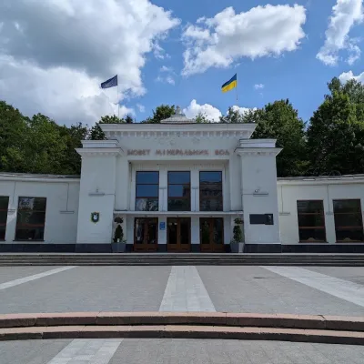 Theme parksCentral Mineral Water Pump Room No. 1, TruskavetsTruskavets1.1 km from the trailCentral Mineral Water Pump Room No. 1 is the heart of the Truskavets spa and the place holidaymakers head for every morning, afternoon and evening with their own...
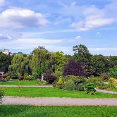 Theme parksPidhiria Landscape Park, TruskavetsTruskavets1.2 km from the trailPidhiria Landscape Park is a well-kept arboretum on the grounds of the Karpaty sanatorium in Truskavets (2 Karpatska Street), open to everyone.
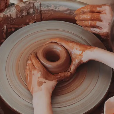 Crafts & workshopsKolo Hlyny Pottery Studio, TruskavetsTruskavets1.2 km from the trailKolo Hlyny (“Clay Wheel”) is a pottery art studio right in the heart of the spa town of Truskavets, at 6 Toroszewicza Boulevard, a short walk from the central pump room.
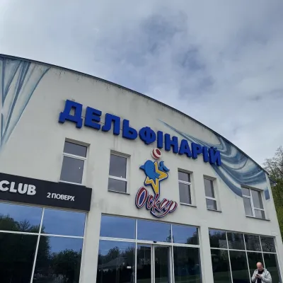 Wildlife parks & animal farmsOskar Dolphinarium, TruskavetsTruskavets1.4 km from the trailOskar Dolphinarium is an entertainment and wellness complex in Truskavets at 18 Horodyshche Street, opened on 31 October 2015.
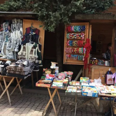 Markets & fairsVernisazh Souvenir Market, TruskavetsTruskavets1.5 km from the trailVernisazh souvenir market is a line of wooden pavilions and stalls on Yuriia Drohobycha Boulevard in the very centre of Truskavets, between the Resort Park and the...
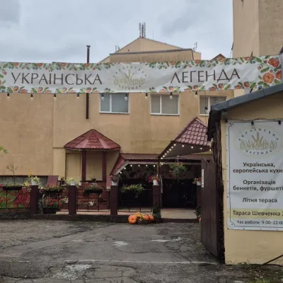 Koliby & Hutsul cuisineUkrainska Lehenda Restaurant, TruskavetsTruskavets1.6 km from the trailUkrainska Lehenda (“Ukrainian Legend”) is a cosy Ukrainian-cuisine restaurant in central Truskavets at 23 Tarasa Shevchenka Street.
