Mount Rebra
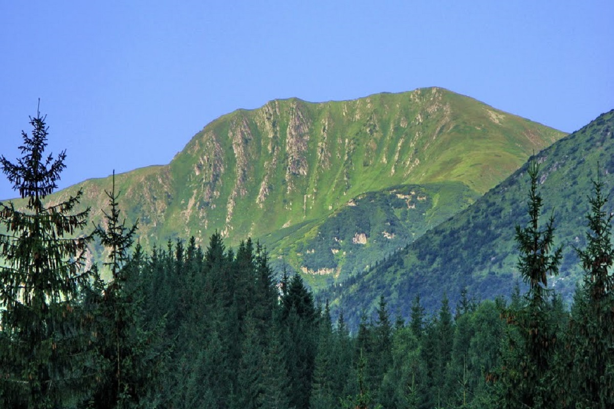
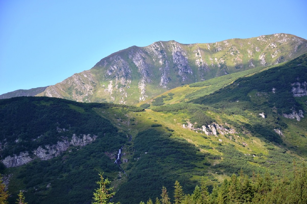
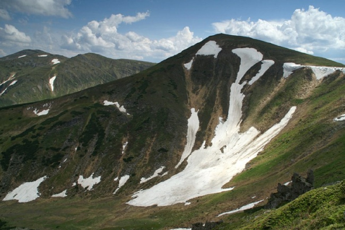
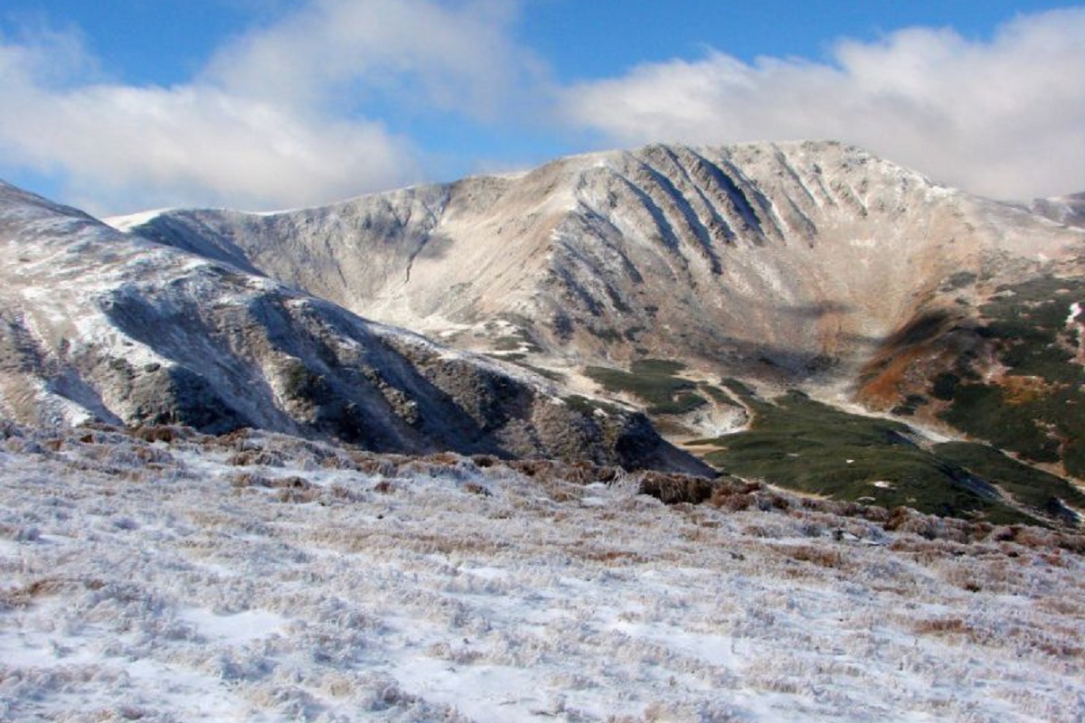
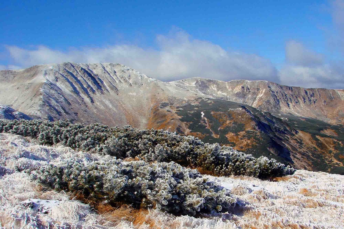
Mount Rebra, with a height of 2001 meters, is located in the central part of the Chornohora ridge. It is one of the highest peaks in Ukraine and closes the six so-called "two-thousanders" of the Ukrainian Carpathians, which includes Hoverla, Brebeneskul, Pip Ivan Chornohirsky, Petros , and Hutyn Tomnatyk.
Rebra is located on the border of two regions - Zakarpattia and Ivano-Frankivsk.
To the northwest of Mount Rebra is the Turkul peak, to the southeast - Brebeneskul, and to the south - Hutyn Tomnatyk.
The southern slopes of the peak are quite gentle, covered mainly with grass and crooked woods, but the northern and northeastern slopes are impassable steep rocky cliffs.
To the east of Mount Rebra, in the Gadzhina tract, formed on the basis of an extensive glacial kar, there are several small alpine lakes.
A variety of rare plants listed in the Red Data Book of Ukraine grow on the very top and its slopes.
The nearest settlement to Mount Rebra is the village of Bystrets in Ivano-Frankivsk Oblast.
Location on the map
Water and shelter nearby
- Spring below Mount Hutyn Tomnatyk (2)820 m · Not verified · 1 918 m
- Spring below Mount Hutyn Tomnatyk (3)910 m · Not verified · 1 881 m
- Spring on Polonyna Hadzhyna (2)1.2 km · Not verified · 1 629 m
- Spring on Polonyna Hadzhyna1.2 km · Not verified · 1 646 m
- Spring below Mount Hutyn Tomnatyk (4)1.2 km · Not verified · 1 797 m
- Spring below Mount Hutyn Tomnatyk1.2 km · Has water · 1 791 m
- Spring below Mount Turkul (5)1.8 km · Not verified · 1 745 m
- Spring below Mount Turkul (4)1.8 km · Not verified · 1 739 m
- Spring below Mount Brebeneskul2.3 km · Not verified · 1 921 m
- Dovbush's Well2.5 km · Not verified · 1 315 m
- Spring below Mount Brebeneskul (3)2.6 km · Not verified · 1 946 m
- Spring below Mount Brebeneskul (2)2.6 km · Not verified · 1 908 m
- Spring below Mount Dantsizh (2)2.7 km · Not verified · 1 662 m
- Spring below Mount Brebeneskul (4)2.9 km · Not verified · 1 906 m
Comments
Places to stay nearby
All stays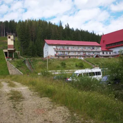 HotelTraining and Sports Base "Zaroslyak" at HoverlaVorokhta6.1 km from Mount RebraPoolSaunaParkingNearby: Polonyna Pozhizhevska 1.2 kmMt Hoverla 2.8 km32 trails
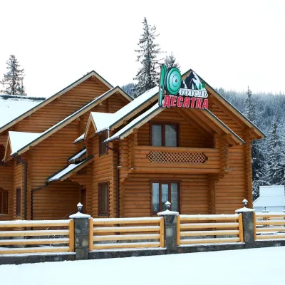 HotelHotel "Desyatka" Vorokhta (near Hoverlyansky Checkpoint)Vorokhta11 km from Mount RebraPoolSaunaBreakfastNearby: Mt Kukul 3.6 kmPolonyna Kukul 4.0 km5 trails
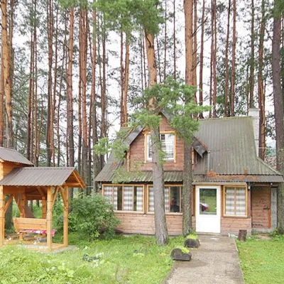 HomesteadHomestead "Sosnovyi Dvir" Vorokhta (Tenth Kilometer)Vorokhta11 km from Mount RebraSaunaBBQKitchenNearby: Mt Kukul 3.7 kmPolonyna Kukul 4.1 km5 trails
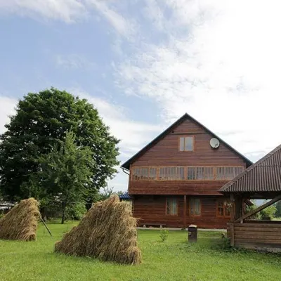 HomesteadHomestead "PID YAVOROM" Vorokhta (Tenth Kilometer)Vorokhta11 km from Mount RebraSaunaBBQKitchenNearby: Mt Kukul 3.7 kmPolonyna Kukul 4.1 km5 trails
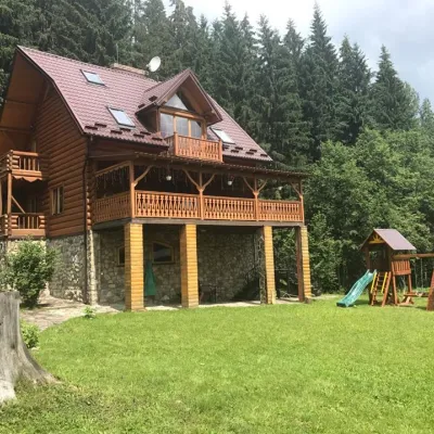 CottageCottage "Try Hory" Vorokhta (Tenth Kilometer)Vorokhta11 km from Mount RebraSaunaBBQKitchenNearby: Mt Kukul 3.7 kmPolonyna Kukul 4.1 km5 trails
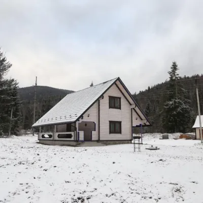 HomesteadHomestead "SWEET HOME" Vorokhta (Tenth Kilometer)Vorokhta11 km from Mount RebraSaunaBBQKitchenNearby: Mt Kukul 3.7 kmPolonyna Kukul 4.1 km5 trails
Trails via Mount Rebra
All 91 ModerateOne-dayUnmarkedZaroslyak base to Mount Shpytsivia Lake NesamovyteElevation profile1 264–1 922 m9 kmascent 883 m≈ 4 h walking
 HardMulti-dayMarkedTranscarpathian Tourist TrailElevation profile198–2 031 m393.2 kmascent 30 283 m
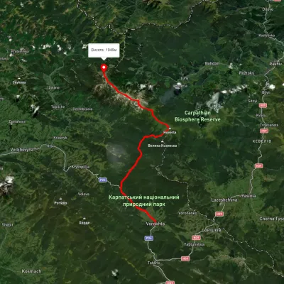 HardMulti-dayUnmarkedVorokhta to Mount Pip Ivan Chornohirskyivia Zaroslyak base, Mount Hoverla +2Elevation profile746–2 043 m42.2 kmascent 2 377 m
Nearby attractions
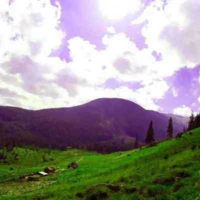 Mountain meadowPolonyna GadzhinaBystretsChornohora range1 km from Mount RebraIt seemed that the Chornohora massif was literally crowded with people, but sometimes you can come across places that either locals or tourists who have eaten the dog...
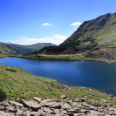 LakeLake BrebeneskulLuhy1.1 km from Mount RebraBrebeneskul is the highest mountain lake in the Ukrainian Carpathians (1801 m above sea level), a hydrological natural monument of local importance (registered as Lake...
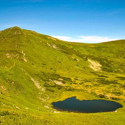 PeakMount Gutin TomnatikBystretsaltitude 2 016 m · Chornohora range1.4 km from Mount Rebra79 trails to the topHutyn Tomnatyk is one of the highest and most beautiful peaks of the Ukrainian Carpathians. The mountain is located on the southwestern spur of the Chornohora mountain...