Mount Stih
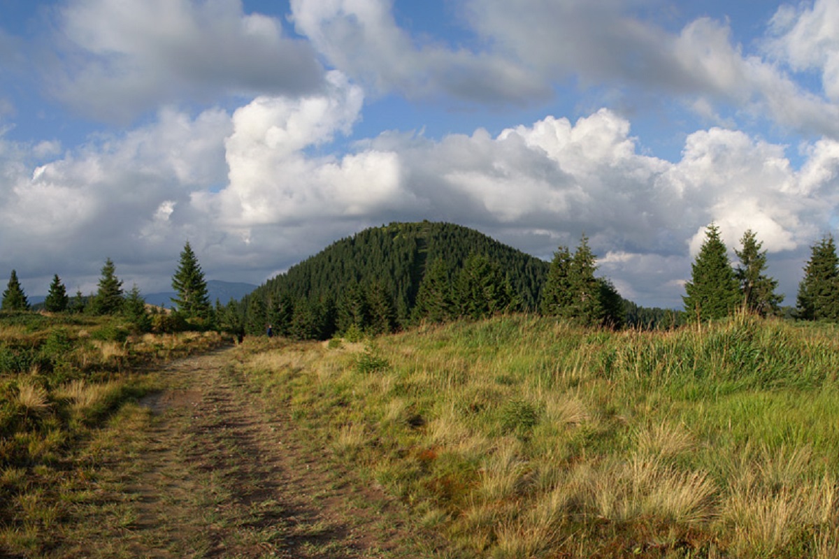
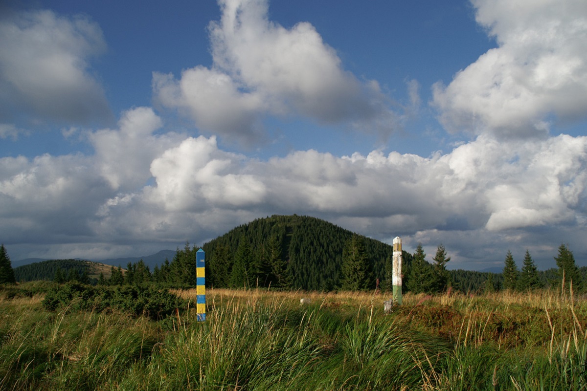
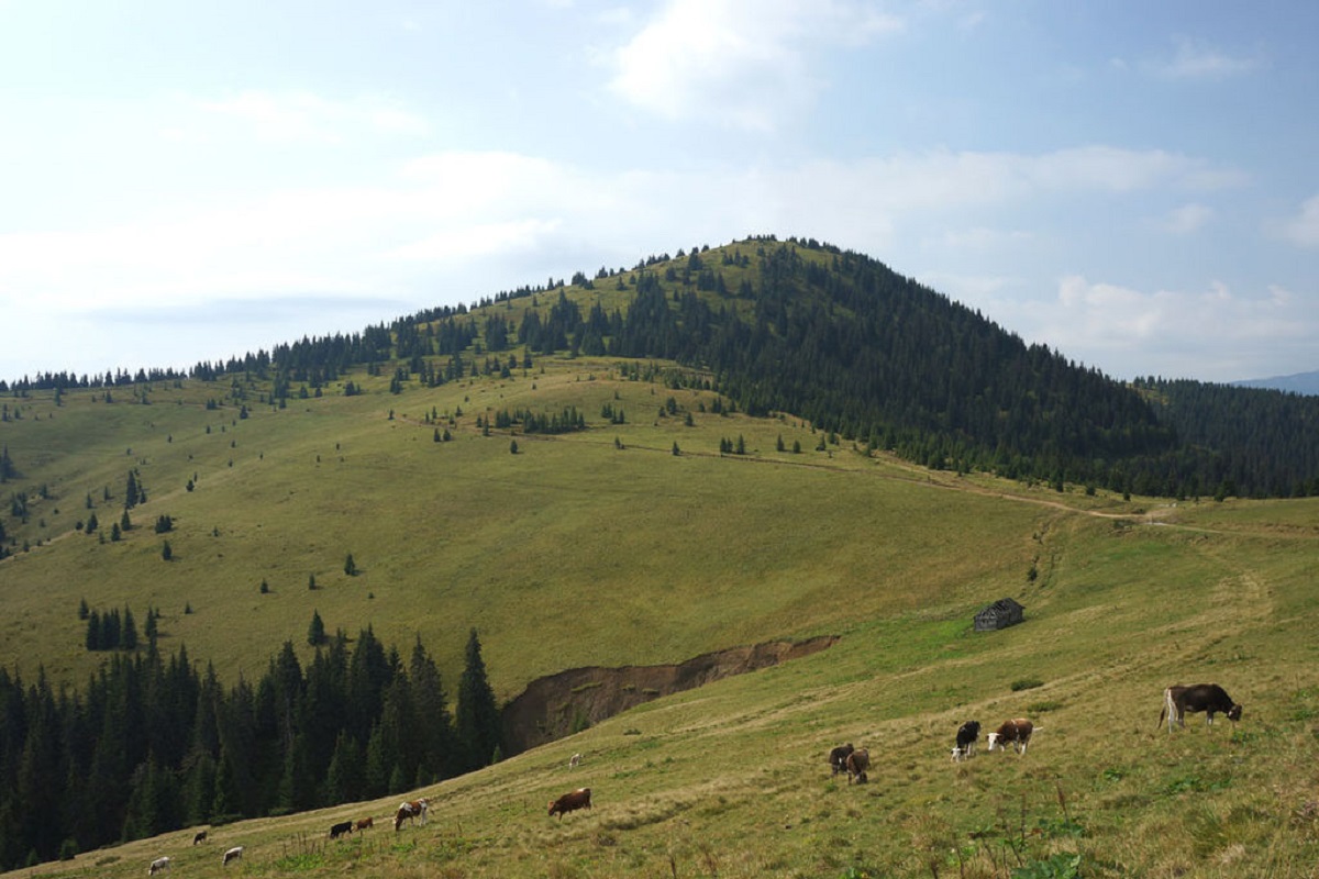
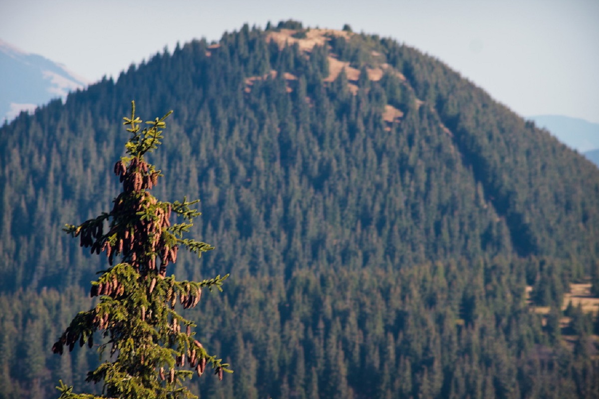
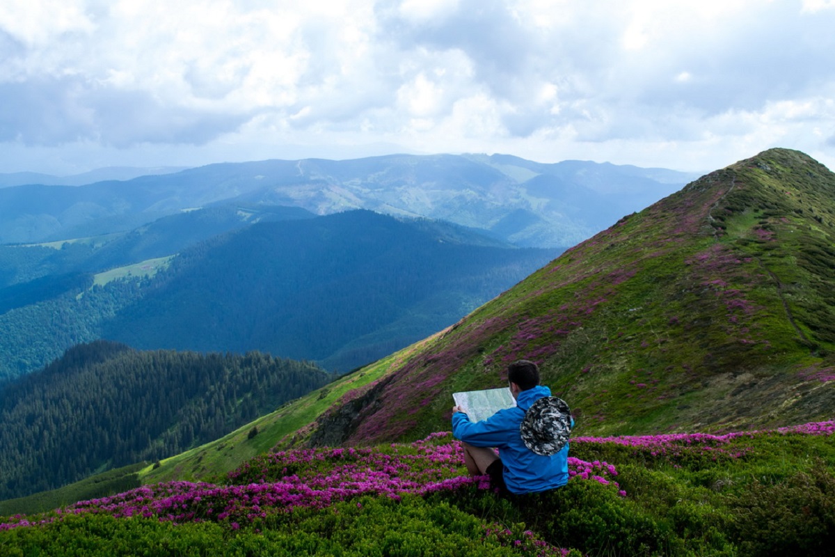
Mount Stih is the peak of the Ukrainian Carpathians of the incredibly beautiful Marmarosh mountain range, which lies on the border of the Chyvchyn Mountains and the Hutsul Alps (Rakhiv Mountains). It is located at the junction of Ivano-Frankivsk and Zakarpattia regions, southeast of the village of Luhy in Rakhiv district and southwest of the village of Zelene in Verkhovyna district.
The southern part of Stog is already the territory of Romania.
The height is 1653 meters.
The top part of the mountain is smoothed out, completely covered with shrubs and alpine and subalpine grass vegetation, with some juniper and crooked woodland.
To the north of Stog is a ridge with Mount Shchavnyk and Mount Vykhod, which is the route to one of the most popular peaks of the Chornohora mountain range, Mount Pip Ivan. The Hutsul Alps stretch to the west of Mount Stih, and the Chyvchyny Mountains to the southeast.
The nearest settlement is the village of Luhy, Rakhiv district, Zakarpattia region.
Location on the map
Water and shelter nearby
- Spring below Mount Stih (20)270 m · Not verified · 1 485 m
- Spring below Mount Stih (19)310 m · Weak flow · 1 497 m
- Stream water below Mount Stih340 m · Not verified · 1 495 m
- Spring below Mount Stih (21)490 m · Not verified · 1 486 m
- Bila Tysa headwaters spring (3)1.1 km · Not verified · 1 343 m
- Bila Tysa headwaters spring (2)1.5 km · Not verified · 1 421 m
- Shepherds' hut on Polonyna Radul1.8 km · Standing · 1 490 m
- Bila Tysa headwaters spring1.8 km · Not verified · 1 496 m
- Spring on Polonyna Radul1.9 km · Not verified · 1 470 m
- Hut on Polonyna Rehieska Velyka2.1 km · Not verified · 1 514 m
- Hut at Strohovets2.2 km · Not verified · 1 074 m
- Spring below Mount Steavul (2)2.3 km · Not verified · 1 428 m
- Spring below Mount Steavul2.3 km · Not verified · 1 480 m
Comments
Trails via Mount Stih
All 31 HardMulti-dayMarkedTranscarpathian Tourist TrailElevation profile198–2 031 m393.2 kmascent 30 283 m
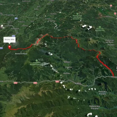 HardMulti-dayUnmarkedDilove village to the Vorokhta roadvia Mount Pip Ivan Marmaroskyi, Mount Pip Ivan Chornohirskyi +1Elevation profile328–2 024 m80.5 kmascent 3 876 m
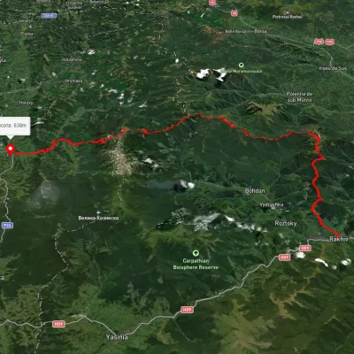 HardMulti-dayUnmarkedRakhiv to Iltsi villagevia Mount Pip Ivan Marmaroskyi, Mount Mika-Mare +1Elevation profile435–2 003 m88.2 kmascent 3 671 m
Nearby attractions
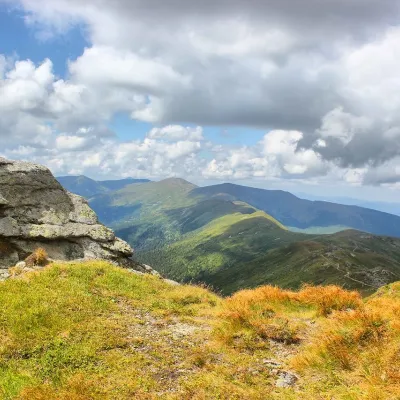 PeakMount SteavulBohdanaltitude 1 752 m · Marmarosh range1.5 km from Mount Stih30 trails to the topSteavul (also known as Shchaul, Shaul) is a 1752-meter peak in the Ukrainian Carpathians, which lies in the Rakhiv district of the Transcarpathian region in the...
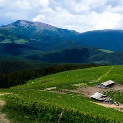 Mountain meadowPolonyna RadulYavirnyk (Shybene)altitude 1 828 m · Marmarosh range2 km from Mount StihThe Radul meadow is located within the Marmarosh Massif. It is located almost at the border with Romania.Shepherds keep sheep and cows in themeadow.
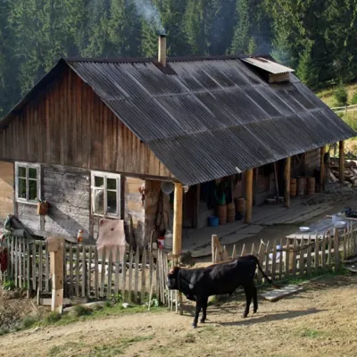 Mountain meadowPolonyna "Shchavnyk" (Yavirnyk)Yavirnyk (Shybene)altitude 1 600 m · Chornohora range4.5 km from Mount StihThe Shchavnyk meadow is located on the Chornohora ridge at an altitude of 1600 meters above sea level.