Mount Koretvina
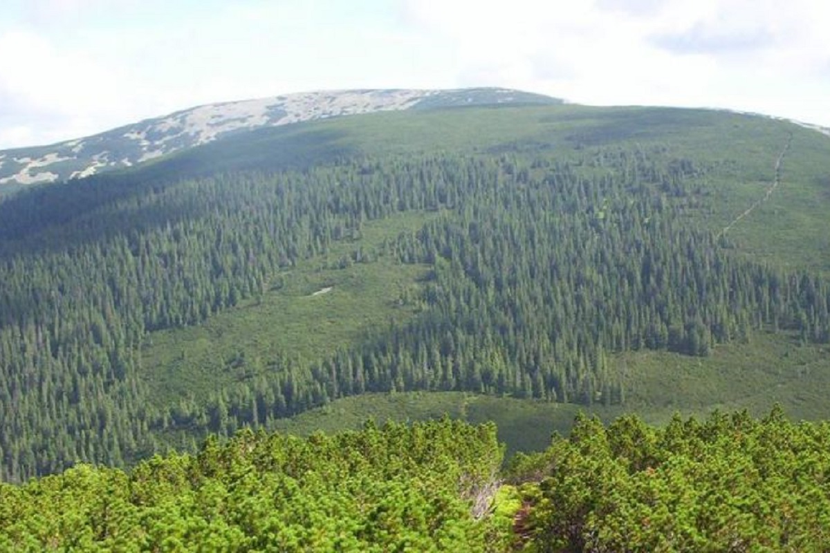
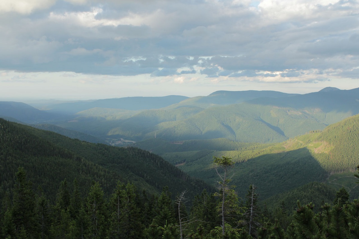
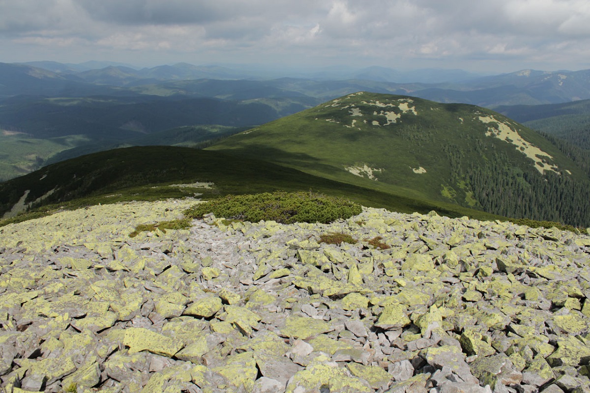
Mount Koretvina (also known as Korytvina) is a peak of the Ukrainian Carpathians, part of the western part of the Gorgan mountain range. It is located in the Rozhnyativ district of Ivano-Frankivsk region.
The height of the peak is 1671 meters.
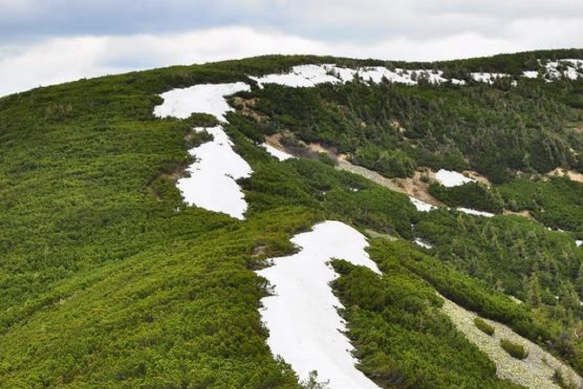
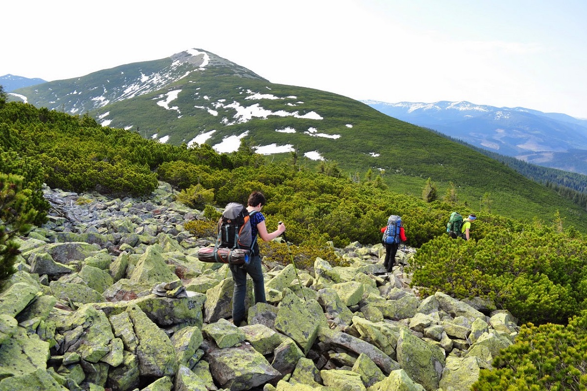
The landscape of Koretvina is typical for the Gorgany Mountains: huge piles of stone placers, densely covered with yellowish-green lichens, and dense, difficult to pass thickets of fir (alpine pine) shrubs. The northern and southern slopes are very steep and inaccessible.
Koretvina is a part of the very popular among tourists route "Grofets-Popadia Ring": from the village of Osmoloda through Grofa, Parenki, Mala Popadia, Velyka Popadia, Petros Horganskyi traverse and to the village of Osmoloda.
Koretvina is connected to Popadia (in the west) and Petros Horhanskyi (in the east).
It is worth noting that a marked route passes through the very top (a white and red marker on the route "Hrofetska-Popadia Ring"), leading from Popadia, crossing Petros Horhanskyi and descending into the valley of the small river Petros, and then to Osmoloda.
The nearest settlement is the village of Osmoloda.
Location on the map
Water and shelter nearby
- Spring below Mount Koretvyna (2)1.3 km · Has water · 1 313 m
- Spring below Mount Koretvyna1.5 km · Not verified · 1 227 m
- Drinking water below Mount Velyka Popadia1.7 km · Not verified · 1 342 m
- Spring below Mount Velyka Popadia (2)1.7 km · Not verified · 1 398 m
Comments
Places to stay nearby
All stays Homestead"U Davidka i Matviika"Osmoloda5.5 km from Mount KoretvinaFireplaceKitchenParkingNearby: Mt Studenets 3.8 kmMt Petros Gorgansky 4.6 km2 trails
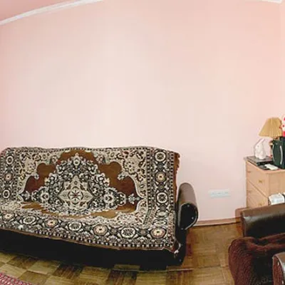 HomesteadHomestead "Faini Karpaty" OsmolodaOsmoloda5.5 km from Mount KoretvinaSaunaBBQKitchenNearby: Mt Studenets 3.8 kmMt Petros Gorgansky 4.6 km2 trails
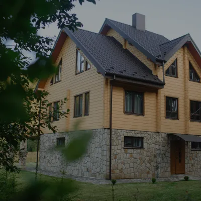 HomesteadHomestead "Albertville" OsmolodaOsmoloda5.7 km from Mount KoretvinaFireplaceKitchenParkingNearby: Mt Studenets 4.0 kmMt Petros Gorgansky 4.8 km2 trails
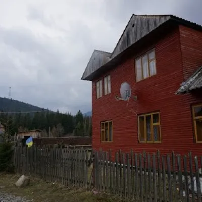 HomesteadHomestead "Arnika" OsmolodaOsmoloda12 km from Mount KoretvinaSaunaBBQKitchenNearby: Trout farm in Osmoloda 1.3 kmMt Kin Grofetsky 5.2 km15 trails
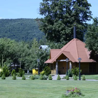 HomesteadComplex "Hants" OsmolodaOsmoloda13 km from Mount KoretvinaHot tubPoolSaunaNearby: Trout farm in Osmoloda 1000 mMt Kin Grofetsky 5.6 km15 trails
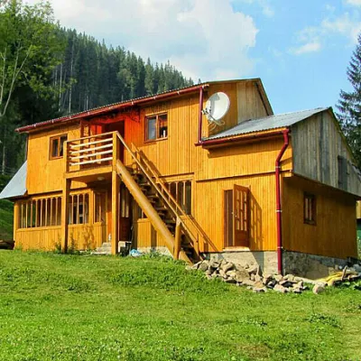 HomesteadHomestead "Kraynya Khata na Seli" Synevyrska PolyanaSynevyrska Polyana19 km from Mount KoretvinaHot tubSaunaBBQNearby: Ozerna Mountain 2.8 kmKamyanka Mountain 6.5 km5 trails
Trails via Mount Koretvina
All 11 HardMulti-dayMarkedEast Carpathian Tourist TrailElevation profile635–1 819 m278.1 kmascent 14 105 m
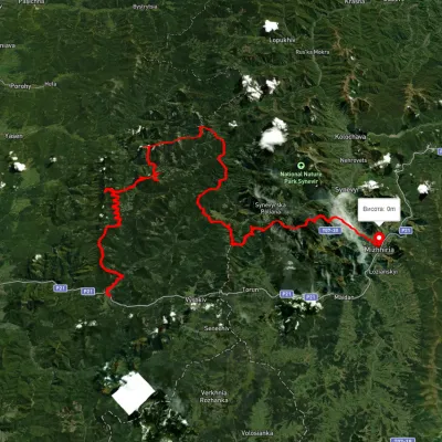 HardMulti-dayUnmarkedMyslivka village to Mizhhiriavia Mount Moloda, Mount Popadia +3Elevation profile444–1 717 m117 kmascent 6 438 m
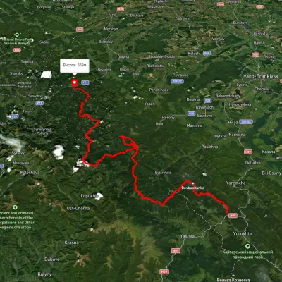 HardMulti-dayUnmarkedTatariv village to Myslivka villagevia Mount Syniak, Mount Dovbushanka +6Elevation profile671–1 792 m171.1 kmascent 9 973 m
Nearby attractions
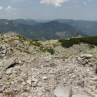 PeakMount Petros GorganskyOsmolodaaltitude 1 702 m · Gorgany rangeunder 1 km from Mount Koretvina8 trails to the topPetros Horhanskyi is a 1702 m high mountain (the Polish map of 1935 shows different information - 1708 m) in the central part of the Horhanskyi mountain range of the...
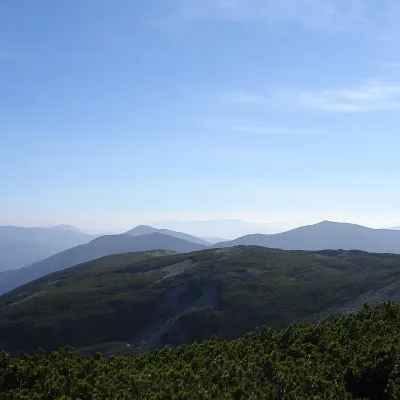 PeakMount StudenetsOsmolodaaltitude 1 671 m · Gorgany range2.2 km from Mount Koretvina1 trail to the topMount Studenets (also known as Studinets, Studynets) is a 1671-meter peak of the Ukrainian Carpathians, located within the Horhan mountain range and is located in the...
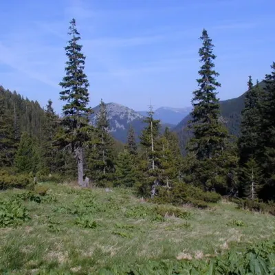 Mountain meadowPolonyna PlisceOsmoloda6.7 km from Mount KoretvinaThere are many mountain meadows in the Carpathians, but Plitse stands out from the rest. The "feature" of the Plitse meadow is that the first tourist shelter was built...