Mountain shelter
Zamkovský Hut
Slovakia · High Tatras range · 1 475 m


- Photo: Andrzej Otrębski · CC BY-SA 4.0 · Wikimedia Commons
- Photo: Doko Ing. Mgr. Jozef Kotulič · CC BY-SA 3.0 · Wikimedia Commons
- Photo: Branork · CC BY 2.5 · Wikimedia Commons
- Photo: Kristo · CC BY-SA 2.5 · Wikimedia Commons
Condition
StandingNo hikers’ reports yet. According to open data the hut is open — check its website or call before setting out.
Last edited on the OSM map 22.01.2026
- 1 475 m
- Sleeps up to 23
- Meals served
Practical info
- Run by: KST
- Local name: Zamkovského chata (Zamka)
- Food: Kitchen or buffet
- Built: 1943
- Contacts: +421 902 266 115 · zamka.sk
About
Zamkovský Hut, known in the mountains simply as Zamka, stands at about 1470 m in the lower part of the Malá Studená dolina in the High Tatras, right by the red Tatra Magistrála. It is a handy stop between Hrebienok and Skalnaté pleso and the starting point for the climb to Téry Hut.
The climber, photographer and porter Štefan Zamkovský, who had earlier worked at the Téry and Zbojnícka huts, built it largely with his own hands in 1942–1943. During the Second World War people wanted by the authorities hid here. After 1948 the hut was nationalised and renamed; in 1991 it got its founder's name back and in 1993 it was returned to his heirs.
The hut has a dining room decorated with old photographs and some two dozen beds in several rooms; power comes from a small hydro plant on the Malý Studený potok and supplies are still carried up by porters. The green trail leads on to Téry Hut (about 1 h 45 min) and the Magistrála to Skalnaté pleso (about 1 h). Mountain rescue (HZS): 18 300.
On the map
Coordinates: 49.17399, 20.21968
How to get there
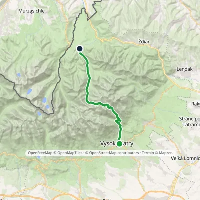
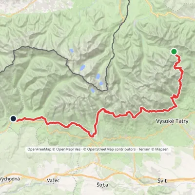
from Hrebienok on the red Tatra Magistrála past Rainer's Hut, about 1 h.
Trails nearby
Report the condition
Been here recently? Tell us what you saw and add photos — your report appears on the page right away with today’s date.
