Condition
Poor conditionReported in poor condition: gaps, leaking roof or no door. Bring a tent.
- 1 366 m
About
Pokuttia-Bukovina Carpathians range, about 1 370 m above sea level. Mount Rotilo (1 483 m) is about 1.2 km away. The nearest settlement is Volova, about 3.1 km in a straight line. 8 of the site’s trails pass nearby, including “Volova village – Mount Rotylo – Volova village”.
According to the latest reports, it is in poor condition. The nearest known spring is 80 m away.
In an emergency in the mountains call the rescuers: 101 or 112.
Comments
Travellers’ experience: reports, tips, questions.
No one has written here yet. Be the first — your experience helps others.
On the map
Coordinates: 48.25156, 24.74175
How to get there
Trails nearby
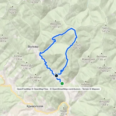 ModerateOne-dayMarkedVolova village loopvia Mount RotyloElevation profile775–1 441 m13.2 kmascent 712 m≈ 4.5 h walking
 HardMulti-dayVerkhovyna to Yaremchevia Mount Bila Kobyla, Mount Makovytsia +1Elevation profile506–1 477 m63.8 kmascent 2 123 m
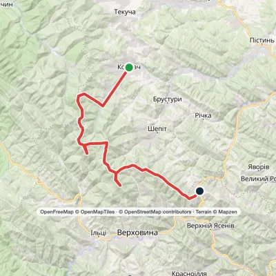 HardTwo-dayKosmach village to Bukovets villagevia Mount Rotylo, Mount Hrehit +1Elevation profile615–1 474 m40.2 kmascent 2 290 m≈ 14 h walking
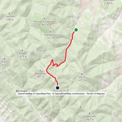 ModerateOne-dayKosmach village Mount RotyloElevation profile787–1 483 m9.6 kmascent 750 m≈ 3.5 h walking
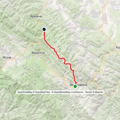 Hard1–2 daysVerkhovyna to Mykulychyn villagevia Mount Bila Kobyla, Mount Khorde +1Elevation profile590–1 414 m41.3 kmascent 1 484 m≈ 13 h walking
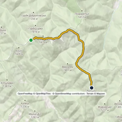 EasyOne-dayMarkedTo Mount RotyloElevation profile1 211–1 483 m8.5 kmascent 477 m≈ 3 h walking
Nearest settlement: Volova, about 3.1 km in a straight line.
Report the condition
Been here recently? Tell us what you saw and add photos — your report appears on the page right away with today’s date.
No photos yet — send yours together with a condition report.
