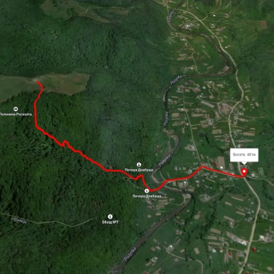
Homynskyi Ridge (Kosiv)
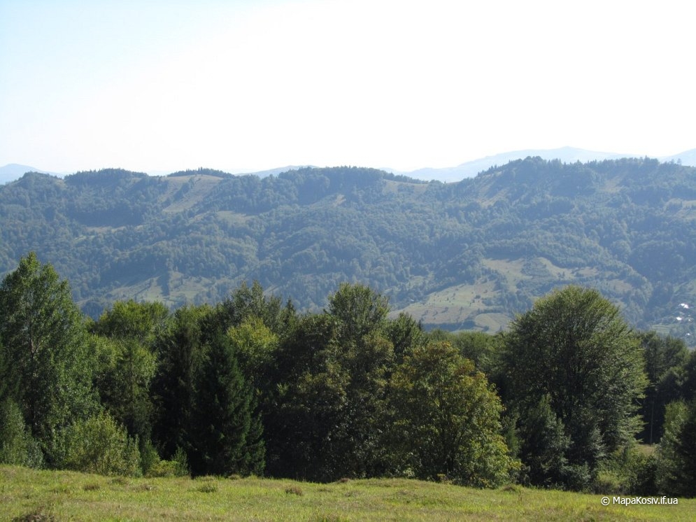
Homynskyi Ridge, with a height of up to 879 meters, is part of the Pokuttya-Bukovyna Carpathians. The mountain range stretches within the villages of Horod, Babyn, and Malyi Rozhin in the Kosiv district of Ivano-Frankivsk region. From the summit, there are wonderful views of the more famous among tourists Sokilskyi Ridge.
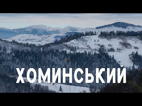
Although Homynskyi is located quite close to Kosiv, it cannot be said that this is a popular hiking route. There is a special contrast here between summer and winter - the snow completely changes the landscape, and often the mountains are much more beautiful, including Homynskyi. In winter, it is better to come here because there is no mud and the air is very clean and fresh! Short winter routes are an ideal opportunity not to die from the routine at home and to maintain decent physical shape for spring when the hiking season begins.
You can reach the summit of Homynskyi by many roads. This is not surprising, as the ridge is located at a crossroads. You can climb from Kosiv, Malyi Rizh, Horod, and Babyn.
From Kosiv, you need to move along Druzhby Street (bypass) and Pidhirska Street. After that, there is an ascent along a forest road leading to Mount Mykhalkova. At the first fork, you can traverse Mykhalkova and go around it by the road that goes left. But it is better to go right and reach Mykhalkova. Firstly, the view is much better - you can see all of Kosiv, and the road is not so boring and long, and secondly, from the other side of the mountain, you can descend into the Levadys' area, where the "left" road leads.
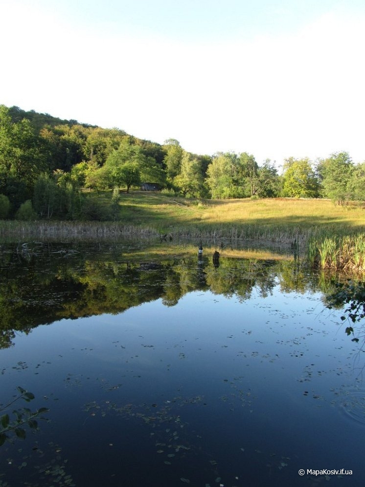
So, whichever road you choose, we descend into the area where there is a pond - also Levadys. Near the water, there is a wonderful view of the Pokuttya Carpathians. This is a great place for a picnic. In the pond, which is 2-3 meters deep, fish and wild birds are found. If we return down the road to the left, we will find ourselves in the hamlet of Voliytsi of the village of Cherhanivka, and we need to go right up to the hamlet of Sokyry of the village of Horod. It is worth knowing that not far from the pond there is a hut, and next to it is a mountain stream with a waterfall with delicious water. There you can rest and replenish your water supplies.
On the forest road, you cannot get lost, as there is marking on the trees, even for cyclists from Velokosiv. So, entering the hamlet, we come to another fork near the chapel, which serves as our landmark. We need to turn left and move up the road to the Zilovate area.
Here in the forest, you can see an interesting "exhibit" - a lost Zaporozhets car. Walking to the ridge, I always wondered how many houses and people are around. Although the height of the ridge is significant and far from civilization, the Hutsuls stubbornly do not descend from the hills, engaging in farming. Further will be the areas of Furaty and Kvadratove field, where there are also several springs, but in summer they may dry up. The summit is not far away - we head along the path to Homynskyi Ridge.
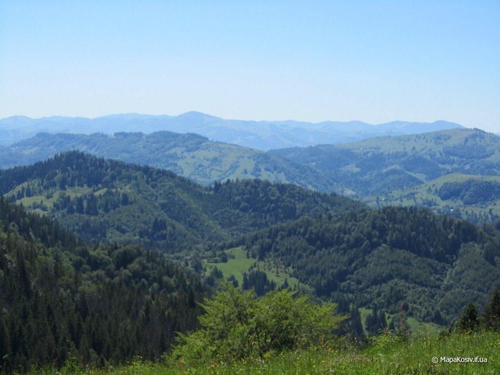
At the top, on the right side, the Sokilskyi Ridge opens up in all its beauty. To get there from Homynskyi, we just need to continue right along the road, which will lead you down to the village of Babyn. Among the interesting things on Homynskyi are the stone fortifications from the Second World War.
The total duration of the route will be about 5-6 hours, and it is better to return by another road, as it is more interesting. So, returning from the mountain to the chapel at the fork, you will see three roads. To the right to Levadys and to Kosiv, straight down the road to the village of Horod, and to the left - to Babyn (to the bridge). Go the road to Horod, as it is closer to Kosiv, the road is shorter, but has better views. About two hours of descent, we will find ourselves near the church in the village of Horod, and from there a direct route to Kosiv - you can travel by bus or hitchhiking - there are no transport problems here. Or you can walk - it takes about 40 minutes to Kosiv.
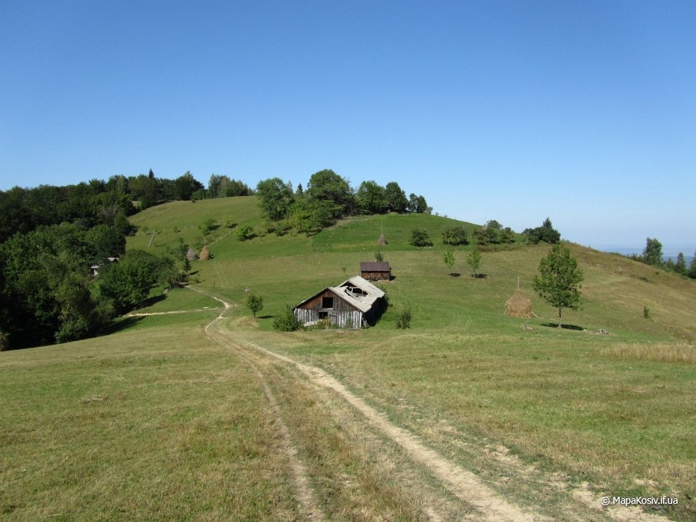
Passport of the local tourist cycling route "Homynskyi Ridge" (Kosiv District)
- Route name: "Homynskyi Ridge"
- Geographical area of the route: Kosiv District
- Number / color of marking: No. 3, Green
- Purpose: Recreational
- Mode of transport: Bicycle
- Route length: 26 km
- Elevation gain (m): 950 m
- Average duration of travel: 5 hours
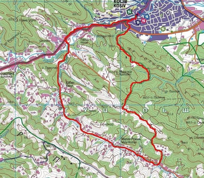
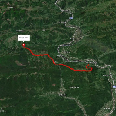
An extreme medium-length cycling route designed for experienced cyclists, it passes through the territory of the Kosiv District. The route starts near the bus station in the city of Kosiv on Hvardiyiska Street. From the bus station, we begin to move southwest along Hvardiyiska and Nezalezhnosti Streets. Crossing the bridge over the Rybnytsia River, we proceed along Ivana Franka Street to the chapel, where we turn left onto Irchana Street. After a hundred meters, turn right onto Pidhirska Street. Crossing Druzhby Street from Pidhirska Street, we begin the ascent along the forest road towards Mount Mykhalkiv, at the fork, turn left and along the road that traverses the southwestern slope of the Holitsia Ridge, we move towards the Hendzyurechka area.
After overcoming the long ascents, we will reach a glade, from which the road turns sharply right and goes steeply up. After overcoming the ascent, we begin the descent to the Levadys area past the lake of the same name. From the Levadys area, we begin the ascent along the forest road to the Sokyry hamlet in the village of Horod. Entering the hamlet from the chapel at the fork, we turn left and move towards the Zilovate area. The road initially goes up through the forest, from the summit, the descent into the area is through open terrain to the saddle, from which there is again an ascent along the slope of the Homynskyi Ridge to the saddle, from which the road leads along the ridge to the Furaty area (Kvadratove field).
Leaving the area behind, the road turns into a path. We go right down, be careful - quite a steep descent into the village of Malyi Rozhen. In the village, having reached a well-trodden road, we turn right and begin the ascent to a small pass between the villages of Malyi Rozhen and Babyn. From the pass, we descend into the village of Babyn and proceed to the village of Horod, where we reach the asphalt road: we turn right and move according to the markings to the city of Kosiv to the starting point of the route. The route is possible only in the specified direction.
Developer: Project "VeloKraina", MMGO "Center for Social and Business Initiatives" city of Yaremche.
 <
<
Accommodation around Homynskyi Ridge (Kosiv):


Which trails pass by Homynskyi Ridge (Kosiv)?
We suggest these hiking trails through or near Homynskyi Ridge (Kosiv): Nimchych Pass – Protiate Kaminnia, Pysanyi Kamin – Bukovets village, Bukovets village – Pysanyi Kamin – Bukovets village, Smuharski Waterfalls, Sheshory – Rosokhata, Kosmach village, via Mount Rotylo, Mount Hrehit and Mount Bila Kobyla to Bukovets village

Nimchych Pass – Protiate Kaminnia
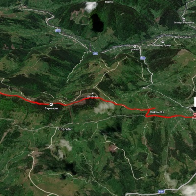
Pysanyi Kamin – Bukovets village
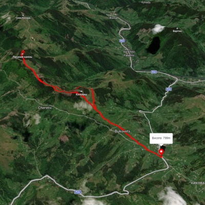
Bukovets village – Pysanyi Kamin – Bukovets village
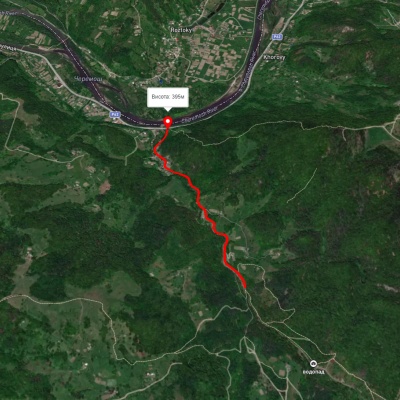
Smuharski Waterfalls