Hala Miziowa
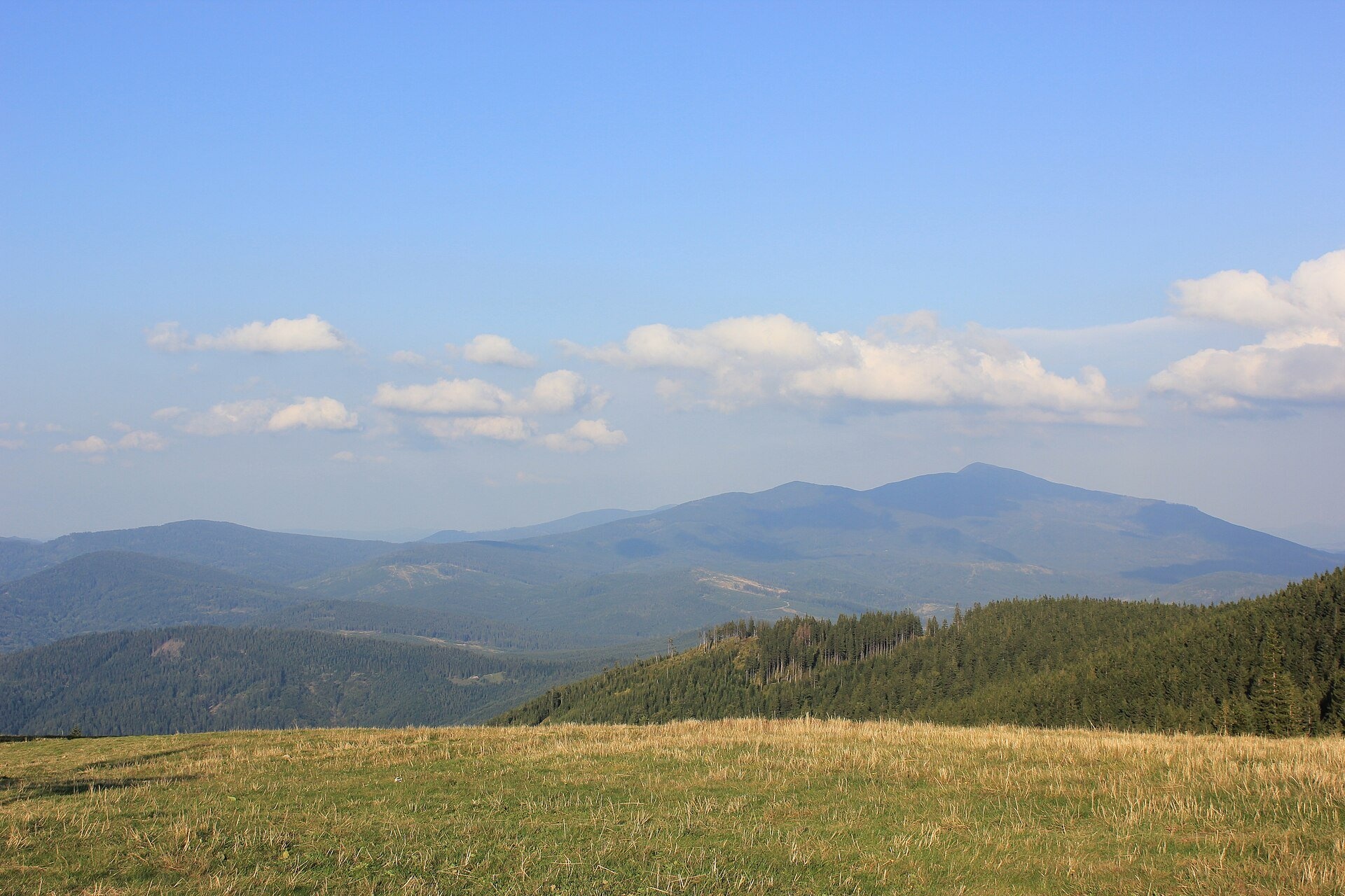
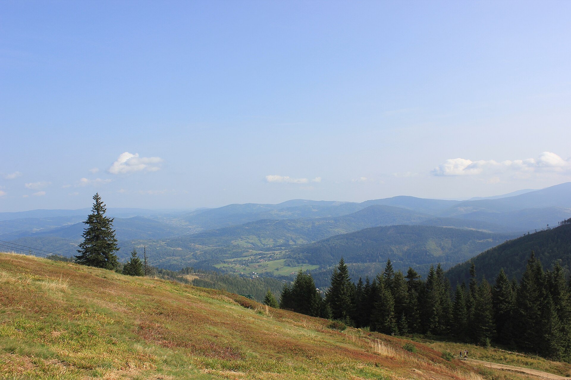
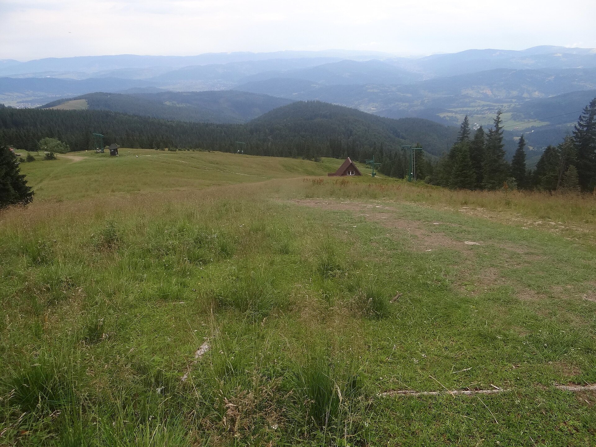
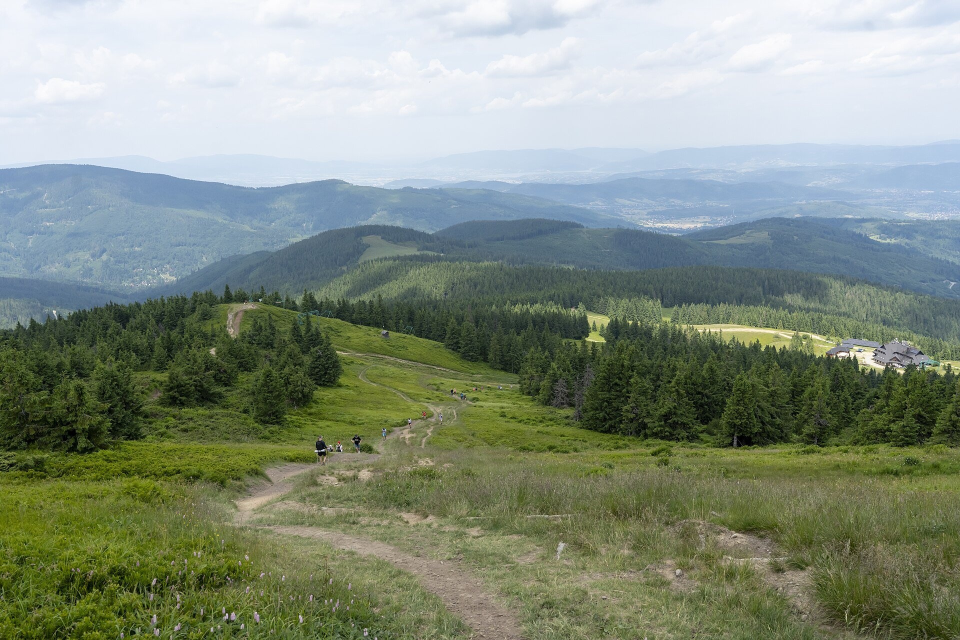
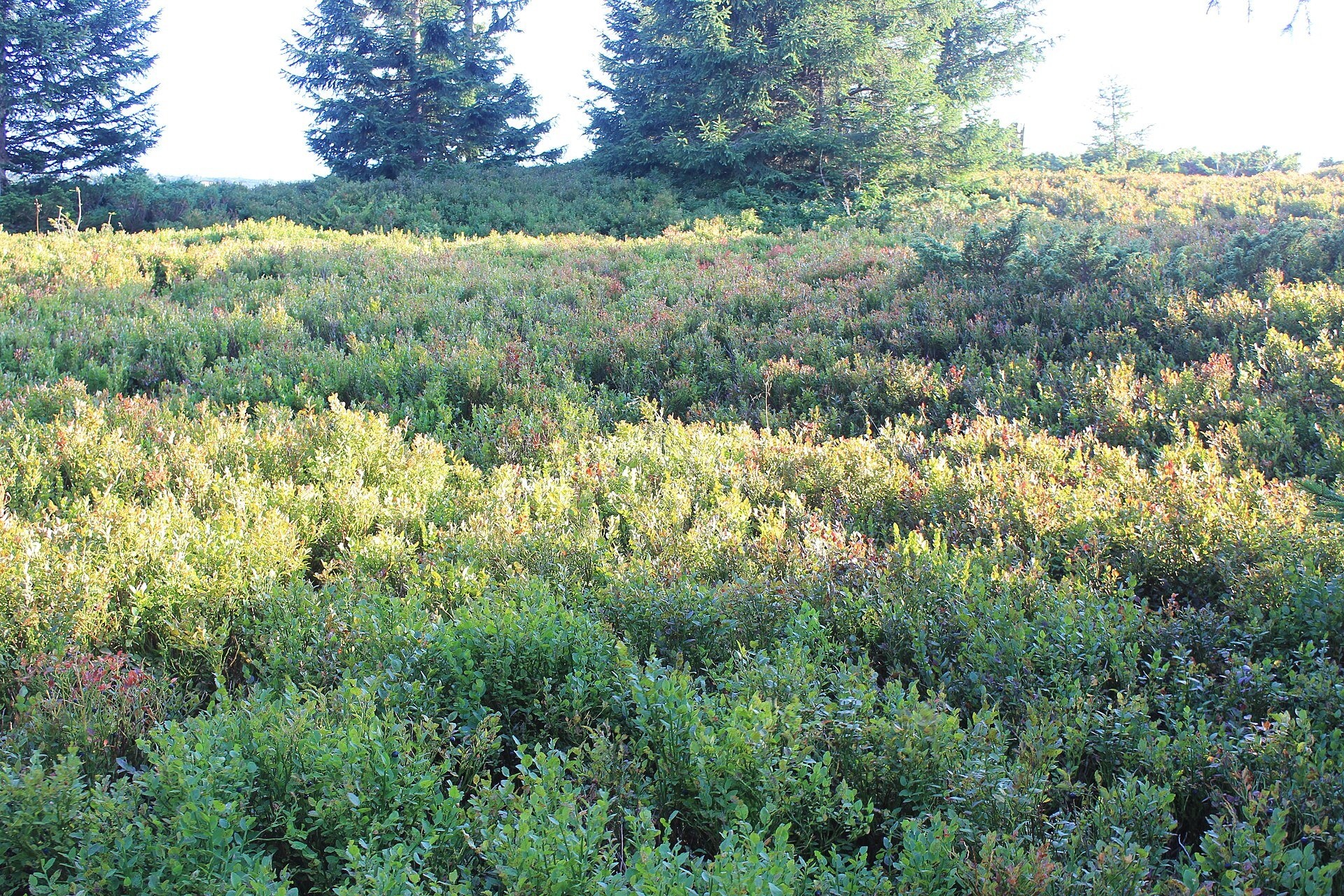
Hala Miziowa is a large mountain glade on the northern slope of Pilsko in the Żywiec Beskids, within the village of Korbielów in Jeleśnia commune, Silesian Voivodeship. It lies at roughly 1,230–1,310 m, right below the broad dome of Pilsko — the second-highest peak of the Żywiec-Orawa Beskids after Babia Góra; its main summit (1,557 m) lies in Slovakia. Two other pastures adjoin it: Hala Cebulowa and Hala pod Kopcem, also known as Hala Słowikowa.
The word "hala" here does not mean an altitudinal vegetation belt but a pasture once intensively used by shepherds. In 1930 the land belonged to 30 owners from Korbielów; one of them was called Mizia, and the glade is named after him. Most of the pasture is a broad flat terrace formed by the material of an old large landslide; above it lies a shallow landslide niche, and on the glade itself a landslide rampart. These forms were once considered glacial; today they are interpreted as a typical landslide reshaped in the Pleistocene by firn fields or perennial snow patches.
The landslide blocked the drainage and created a closed basin, so a large raised bog about 100 m long with peat more than 3 m deep formed on the glade, plus two smaller ones. Bog cranberry, hare's-tail cottongrass, alpine rush and several species of sphagnum moss grow there. Around the many small springs mountain fens have developed where Siberian chives and felwort (Swertia perennis) bloom in great numbers — in the Polish Carpathians this type of plant community is known only from the Pilsko massif. The endemic Moravian monkshood also occurs here, and in autumn the bilberry slopes of the pasture turn red.
What to see and do
- Views — the glade opens a panorama of the Żywiec Beskids with Babia Góra, especially fine in winter and on clear autumn days.
- The summit of Pilsko — the Polish top, Góra Pięciu Kopców (1,542 m), 30–35 min from the pasture by the black or yellow trail.
- The PTTK hut (1,274 m) — the first hut opened on 20 July 1930 and burned in 1953; the present brick building opened on 12 October 2003, half a century after the fire. A GOPR rescue team and a weather station are based nearby.
- The peat bogs on the glade — admire them only from the paths, without stepping on the wet ground.
- Skiing in winter — T-bar lifts of the Pilsko ski area in Korbielów run from the pasture up the slopes of Pilsko.
How to get there
The shortest approach is from Korbielów (bus stop near the trailhead): the yellow trail via Czarny Groń and then the green one — according to the mapa-turystyczna.pl trail map about 2 h 25 min and 5 km up; the way down, per the PTTK signpost on the pasture, is 1 h 30 min. The green trail Korbielów – Hala Miziowa – Witasówka reaches the glade from Korbielów Kamienna (1 h 30 min down), where the chairlift to Hala Szczawiny starts. The red Main Trail of Beskidy also crosses the pasture: from Glinne Pass on the Slovak border 1 h 15 min (downhill), and 2 h 30 min to Hala Rysianka. From the pasture a green trail also descends to Sopotnia Wielka (1 h 45 min). The climb from Korbielów is an ordinary moderate mountain hike on forest tracks without exposed sections; ideal for families with children who already hike.
Season and safety
The pasture is not in a national park, so there is no entry fee (as of October 2026). The best time is June to October: in summer the bogs and meadows bloom, in September–October the bilberry turns red and the views reach far. The broad dome of Pilsko is very disorienting in fog: in 1980 a group of school skiers got lost here and three of them died of exhaustion. In winter keep to marked trails and watch the weather; the GOPR mountain rescue number is 985 or 601 100 300.
Nearby
Heading east on the red trail you reach Hala Rysianka, and in the valley below the pasture, in Sopotnia Wielka, roars the Sopotnia Wielka Falls. The green trail Pass under Beskid Krzyżowski – Five Mounds Mountain leads to the summit of Pilsko.
Photos: Andrzej Otrębski, CC BY-SA 4.0, Wikimedia Commons; Jerzy Opioła, CC BY-SA 4.0, Wikimedia Commons; Krzysztof Popławski, CC BY 4.0, Wikimedia Commons; Pudelek, CC BY-SA 4.0, Wikimedia Commons.
Getting there from Ukraine
Border crossings
- Krakovets – Korczowa — road, 24/7
- Shehyni – Medyka — road, 24/7 Pedestrian crossing is not confirmed by the Ukrainian border service — check dpsu.gov.ua before the trip.
- Smilnytsia – Krościenko — road, 24/7
- Hrushiv – Budomierz — road, 24/7
- Mostyska – Przemyśl (rail) — rail, 24/7
By car
Lviv – Żywiec ≈412 km, ≈5 h 30 min without queues or tolls: M-10 → Krakovets – Korczowa → A4 to Kraków (≈249 km) → DK52 via Wadowice → DW781 and DW946 to Żywiec. ≈333 km, ≈4 h from the border. Alternative via the tolled A4 Kraków – Katowice and the S1 via Tychy and Bielsko-Biała: ≈457 km, ≈5 h 25 min.
Checked 23.10.2026; border crossing hours and timetables change — check before you travel.
Location on the map
Water and shelter nearby
- Hala Miziowa Hut30 m · Standing · 1 274 m
- Bacówka Shelter, 1 271 m270 m · Not verified · 1 271 m
- Spring below Góra Pięciu Kopców (east slope)1.1 km · Not verified · 1 493 m
- Spring below Góra Pięciu Kopców (west slope)1.1 km · Not verified · 1 530 m
- Spring below Pilsko1.3 km · Not verified · 1 525 m
- Hut on Polana Górowa1.3 km · Not verified · 1 172 m
- Drinking water below Buczynka (Hunców)1.3 km · Has water · 1 146 m
- Szałas na Cudzichowej Hut2.2 km · Not verified · 1 229 m
Comments
Trails nearby
All trails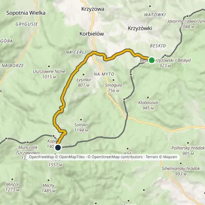 ModerateOne-dayMarkedPass under Beskid Krzyżowski Five Mounds MountainElevation profile602–1 534 m10.5 kmascent 932 m≈ 4.5 h walkingunder 1 km from Hala Miziowa
 HardMulti-dayMarkedMain Trail of BeskidyElevation profile309–1 723 m499.9 kmascent 19 519 munder 1 km from Hala Miziowa
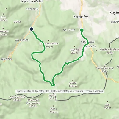 ModerateOne-dayMarkedKorbielów Witasówkavia Hala MiziowaElevation profile602–1 289 m11.7 kmascent 689 m≈ 4.5 h walkingunder 1 km from Hala Miziowa
Nearby attractions
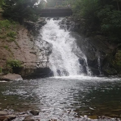 WaterfallSopotnia Wielka Falls5 km from Hala MiziowaSopotnia Wielka Falls (Wodospad w Sopotni Wielkiej) is the largest waterfall in the Polish Beskids. It drops on the Sopotnia stream right in the centre of the village...
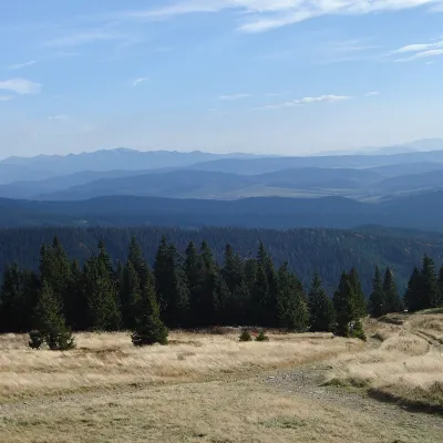 Mountain meadowHala Rysiankaaltitude 1 290 m6.1 km from Hala MiziowaHala Rysianka is a large mountain glade in the Żywiec Beskids, on the eastern and south-eastern slopes of the Rysianka peak.
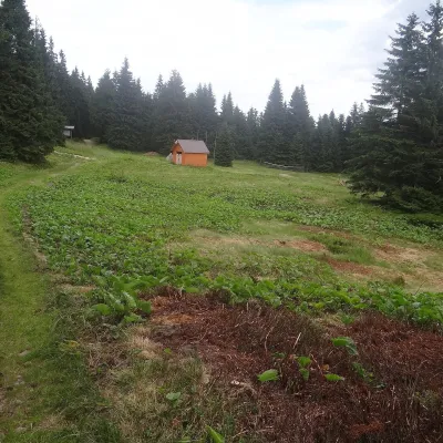 Mountain meadowHala Lipowskaaltitude 1 290 m6.9 km from Hala MiziowaHala Lipowska is a large glade on the south-eastern slope of Lipowski Wierch (1,324 m on most maps) in the Żywiec Beskids, within the Żywiec Landscape Park.
Craft nearby
All craft places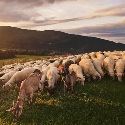 Cheese dairies & pasturesBacówka na Bukowinie, Żabnica: sheep's cheese and alpacas15 km from Hala MiziowaBacówka na Bukowinie stands on a slope above the village of Żabnica, next to Węgierska Górka, where the Żywiec Beskids meet the Silesian Beskids.
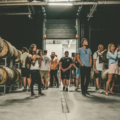 Craft beer & breweriesPINTA Brewery, Wieprz near Żywiec: tours and taproom16 km from Hala MiziowaPINTA is the brewery that Poles associate with the start of the “beer revolution”; it calls itself the country's first craft brewery.
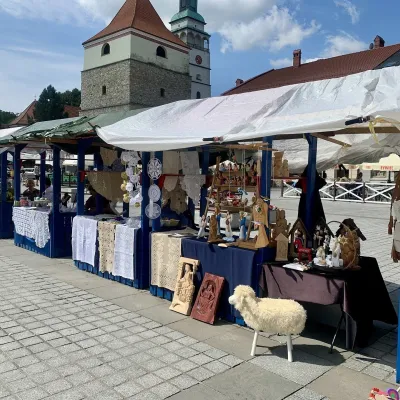 Markets & fairsFolk Art Fair in Żywiec during the Beskidy Week of Culture18 km from Hala MiziowaThe Beskidy Highlanders' Week of Culture (Tydzień Kultury Beskidzkiej, TKB) is Poland's largest folklore festival: it was first held in Wisła in 1964, and today, at...
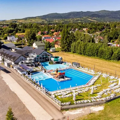 Water parks & thermal poolsAquapark Leśna (Żywiec)19 km from Hala MiziowaAquapark Leśna (also called Aquapark Żywiec) is a swimming-pool complex in the village of Leśna, a few kilometres from Żywiec, in the Żywiec Basin, surrounded by the...
 Craft beer & breweriesBrowar Zarzecze in the Żywiec Basin: craft brewery shop22 km from Hala MiziowaBrowar Zarzecze works in the village of Zarzecze near Pietrzykowice in the Żywiec Basin — a region where beer has been brewed since at least the 19th century and home...
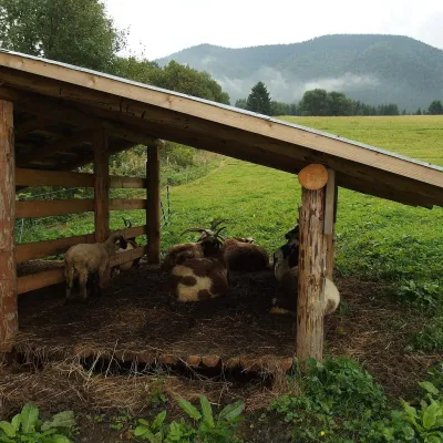 Cheese dairies & pasturesSalaš Syrex in Zázrivá — Home of the Zázrivá Korbáčik Cheese34 km from Hala MiziowaZázrivá is a scattered mountain village on the border of Orava and the Malá Fatra, famous throughout Slovakia for its korbáčiky: thin strings of steamed cheese braided...
