Criștioru de Sus
Bihor County · Romania
Criștioru de Sus is a village in Romania.
Elevation: about 608 m above sea level. Population: 49 (2021). Mountains nearby: Bihor-Vlădeasa Mountains.
Here and nearby on the site: 1 trail.
Facts: Wikidata, OpenStreetMap. More on Wikipedia
What's nearby
Trails nearby
All trails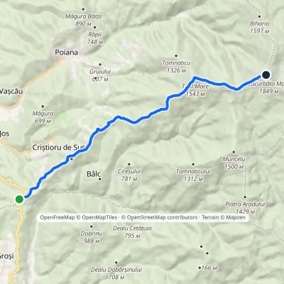 ModerateTwo-dayMarkedCriștior Pass Cucurbăta MareElevation profile593–1 836 m13.4 kmascent 1 384 m≈ 6 h walkingunder 1 km from the centre
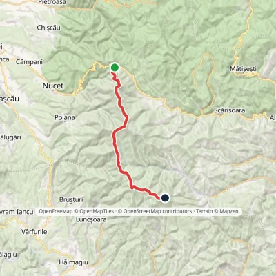 HardTwo-dayMarkedVârtop Saddle Mount GăinaElevation profile1 159–1 838 m26.7 kmascent 1 190 m≈ 9 h walking7.2 km from the centre
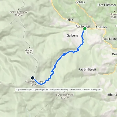 ModerateOne-dayMarkedArieșul Mare Valley Cucurbăta MareElevation profile863–1 849 m8.2 kmascent 983 m≈ 4 h walking9.1 km from the centre
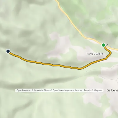 EasyOne-dayMarkedVanvucești Vârciorog WaterfallElevation profile899–1 135 m3.3 kmascent 236 m≈ 1.5 h walking12 km from the centre
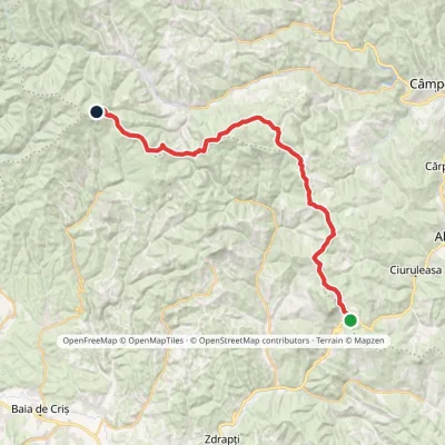 HardMulti-dayMarkedBuceș-Vulcan Pass Mount GăinaElevation profile746–1 467 m33.1 kmascent 1 428 m≈ 11 h walking16 km from the centre
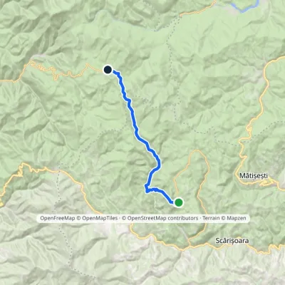 ModerateTwo-dayMarkedGhețar PadișElevation profile821–1 354 m18.3 kmascent 690 m≈ 6 h walking18 km from the centre
Peaks nearby
All peaks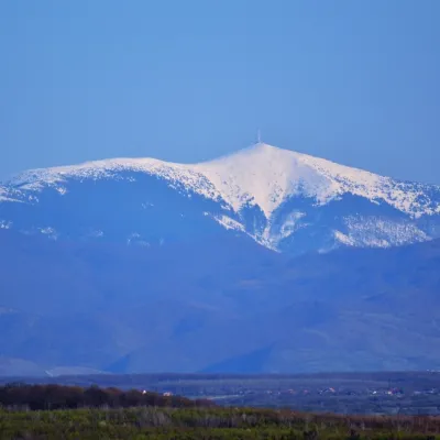 PeakCucurbăta MareBâlcaltitude 1 849 m9.2 km from the centre3 trails to the topCucurbăta Mare (Romanian: Vârful Cucurbăta Mare or Curcubăta Mare; also Bihor Peak, Romanian: Vârful Bihor; Hungarian: Nagy-Bihar) is the highest summit of the Bihor...
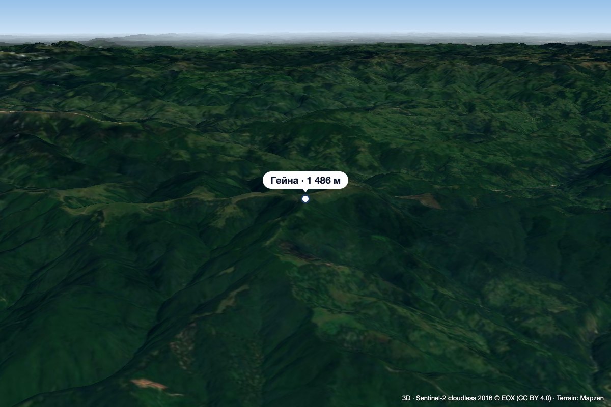 PeakGăinaGiurgeștialtitude 1 486 m15 km from the centreGăina (Romanian Vârful Găina, Muntele Găina) is a 1,486 m summit, the highest point of the massif of the same name in the central Apuseni Mountains (Western Romanian...
What to visit
All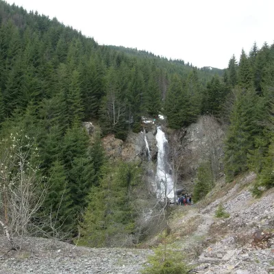 WaterfallVârciorog Waterfall (Cascada Vârciorog)Izlaz12 km from the centreVârciorog Waterfall (Cascada Vârciorog) is a nature reserve of geological and landscape type in the south-east of the Bihor Mountains, in Arieșeni commune in the far...
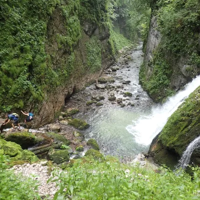 WaterfallEvantai Waterfall (Cascada Evantai)Boga18 km from the centreEvantai Waterfall (Cascada Evantai, «the Fan») lies in the Galbena Gorge (Cheile Galbenei) in the Bihor Mountains, inside Apuseni Natural Park in Bihor County.
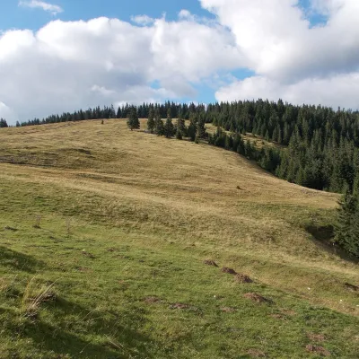 Mountain meadowPadiș PlateauPadișaltitude 1 235 m23 km from the centrePadiș (Hungarian: Pádis) is a karst plateau in the Bihor Mountains, part of Romania's Apuseni (Western Romanian Carpathians), in the south-east of Bihor County.
Huts, shelters and springs nearby
589 mSpringSpring below Dealu Mare (north-east slope), 589 mBihor-Vlădeasa Mountains · RomaniaNot verifiedMarked as drinkable
705 mSpringSpring below Măgura Băiţa (east slope), 705 mBihor-Vlădeasa Mountains · RomaniaNot verifiedMarked as drinkable
793 mSpringSpring below Măgura Băiţa (east slope), 793 mBihor-Vlădeasa Mountains · RomaniaNot verifiedMarked as drinkable
Getting there from Ukraine
Border crossings
- Porubne – Siret — road and pedestrian, 24/7
- Diakivtsi – Racovăț — road and pedestrian, 24/7 No freight traffic.
- Krasnoilsk – Vicovu de Sus — road and pedestrian, 08:00–20:00 Cars up to 3.5 t and pedestrians only; not 24/7.
- Solotvyno – Sighetu Marmației — road and pedestrian, 24/7 Passenger traffic only: vehicles up to 3.5 t with up to 9 seats, pedestrians.
- Diakove – Halmeu — road, 24/7 No pedestrian crossing.
By car
Rakhiv – Cluj-Napoca ≈219 km, ≈3 h 44 min (via Solotvyno – Sighetu Marmației); Ivano-Frankivsk – Cluj-Napoca ≈353 km, ≈6 h 04 min (via Solotvyno – Sighetu Marmației); Chernivtsi – Cluj-Napoca ≈343 km, ≈6 h 28 min (via Krasnoilsk – Vicovu de Sus). Times without border queues, our road routing (GraphHopper, OSM).
Checked 03.11.2026; border crossing hours and timetables change — check before you travel.
