Condition
Not verifiedNo recent reports. Carry water and, if you pass by, tell us what you saw.
- 977 m
About
Gorgany range, about 980 m above sea level. Mount Yayko-Pereginske (1 595 m) is about 1.4 km away. The nearest settlement is Kuzmynets, about 11 km in a straight line. The trail “Myslivka village, via Mount Moloda, Mount Popadia, Svoboda village, Lake Synevyr and Mount Ozerna to Mizhhiria” passes nearby.
On the map
Coordinates: 48.68027, 23.89677
How to get there
Trails nearby
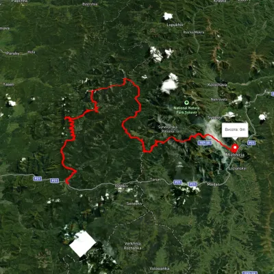
Nearest settlement: Kuzmynets, about 11 km in a straight line.
Report the condition
Been here recently? Tell us what you saw and add photos — your report appears on the page right away with today’s date.
No photos yet — send yours together with a condition report.
