Condition
Not verifiedNo recent reports. Carry water and, if you pass by, tell us what you saw.
- 929 m
- Dries out in summer or drought
About
Gorgany range, about 930 m above sea level. Mount White Stone Rock (538 m) is about 1.6 km away. The nearest settlement is Yaremche, about 3.3 km in a straight line. 6 of the site’s trails pass nearby, including “Dora village, via Mount Syniachka and Pereslip Pass to Yaremche”.
This spring dries out in summer or in dry years, so do not rely on it as your only water.
On the map
Coordinates: 48.49712, 24.54353
How to get there
Trails nearby
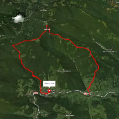 HardMulti-dayUnmarkedDora village to Yaremchevia Mount Syniachka, Pereslip PassElevation profile432–1 402 m24.6 kmascent 1 333 m≈ 9 h walking
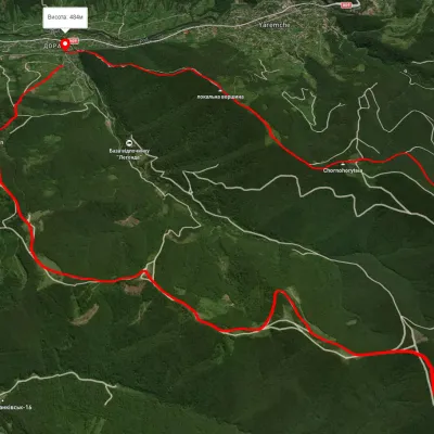 HardTwo-dayUnmarkedDora village loopvia Mount Bilyi Kamin, Mount SyniachkaElevation profile514–1 404 m23 kmascent 996 m≈ 7.5 h walking
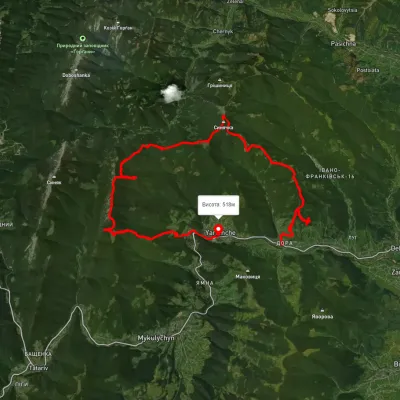 HardMulti-dayUnmarkedDora village to Yaremchevia Mount Syniachka, Pereslip Pass +2Elevation profile476–1 455 m50.1 kmascent 2 345 m
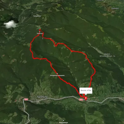 HardTwo-dayMarkedDora hamlet loopvia Bilyi Kamin rock, Mount Syniachka +1Elevation profile476–1 386 m23 kmascent 1 558 m≈ 9 h walking
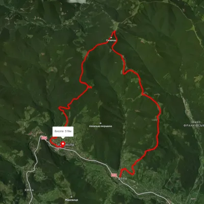 HardMulti-dayUnmarkedDora village to Yaremchevia Mount Syniachka, Chornohorytsia polonynaElevation profile486–1 398 m26.1 kmascent 1 090 m≈ 8.5 h walking
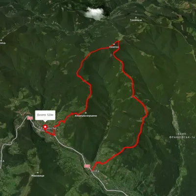 HardTwo-dayUnmarkedDora village to Yaremchevia Mount Syniachka, the Chornohorytsia ridgeElevation profile368–1 396 m22.5 kmascent 1 325 m≈ 8.5 h walking
Nearest settlement: Yaremche, about 3.3 km in a straight line.
Report the condition
Been here recently? Tell us what you saw and add photos — your report appears on the page right away with today’s date.
No photos yet — send yours together with a condition report.
