Ascuțit
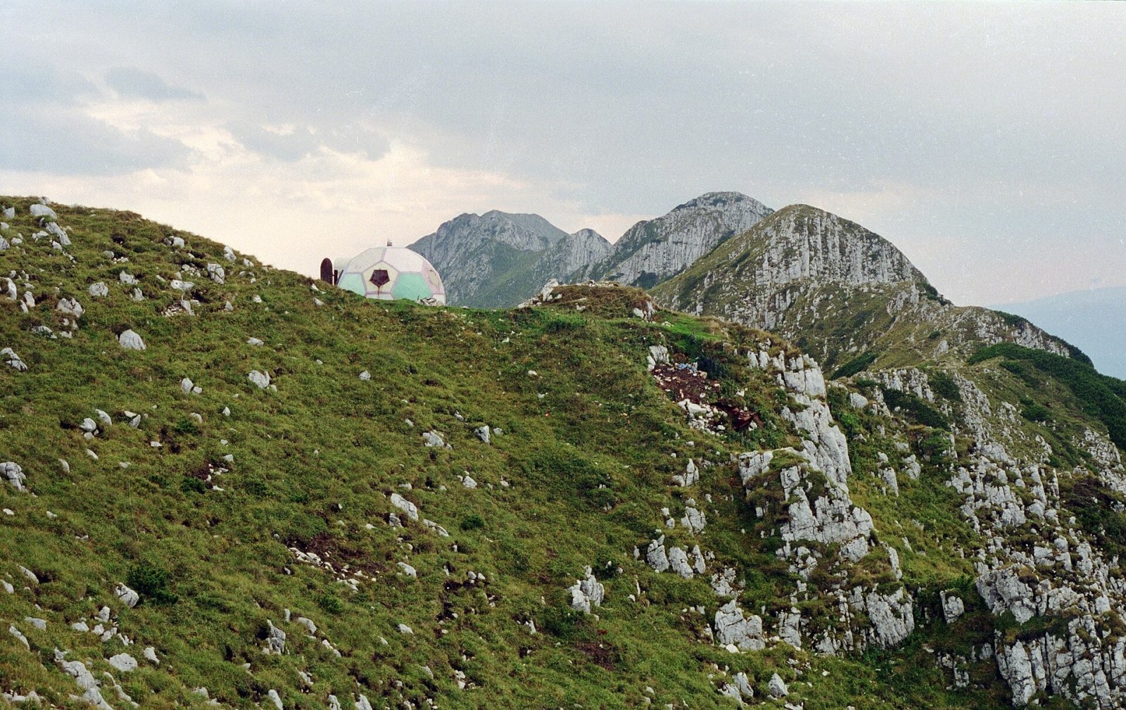
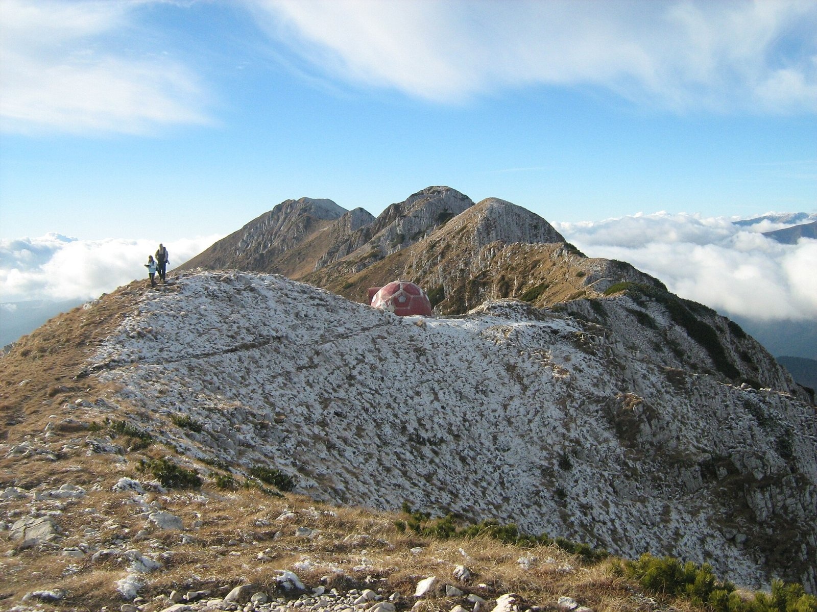
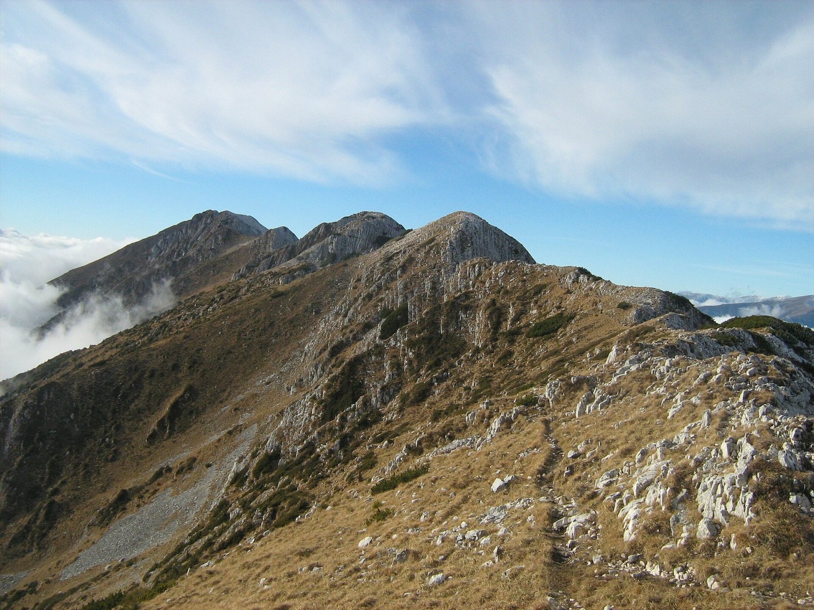
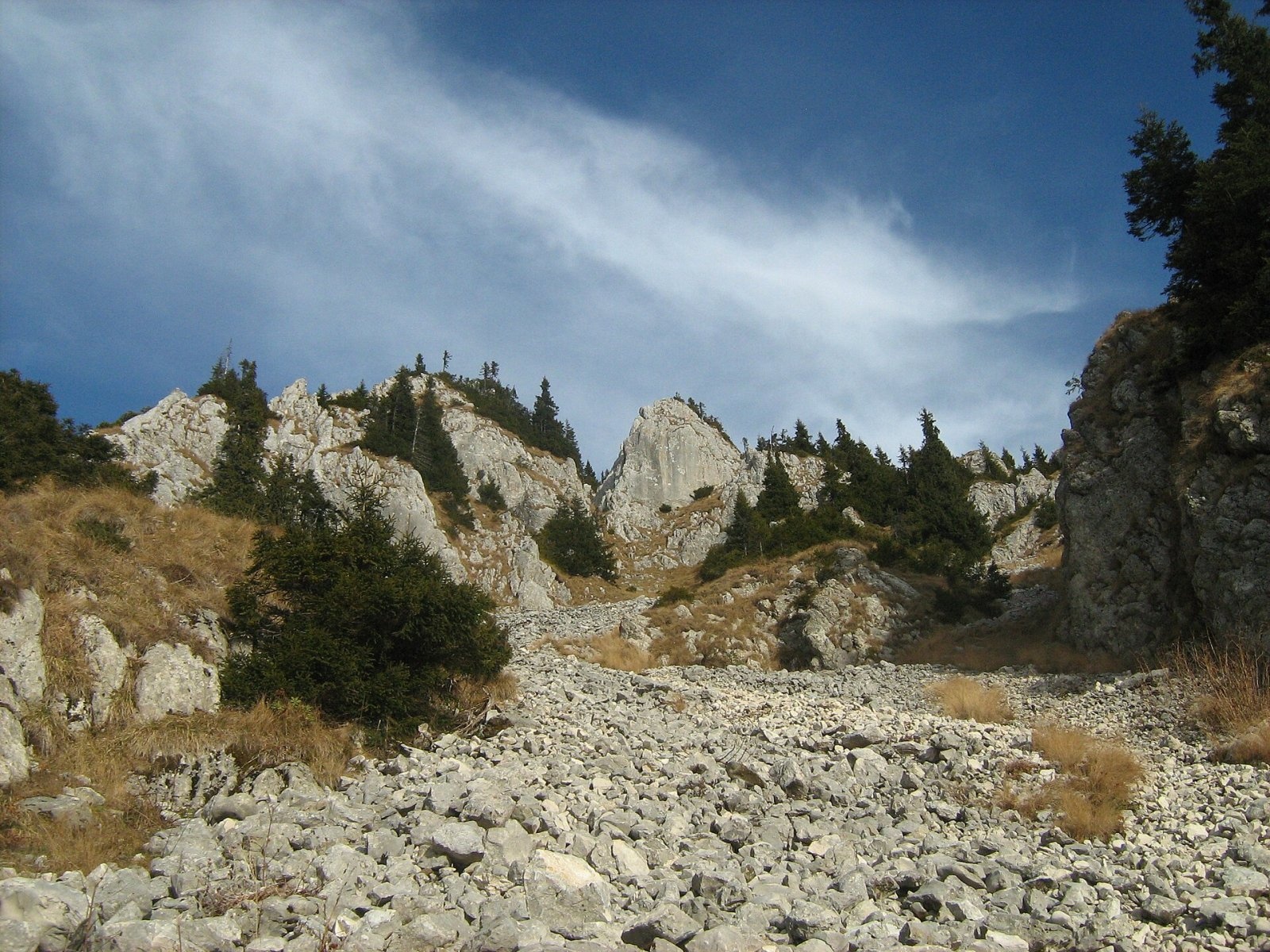
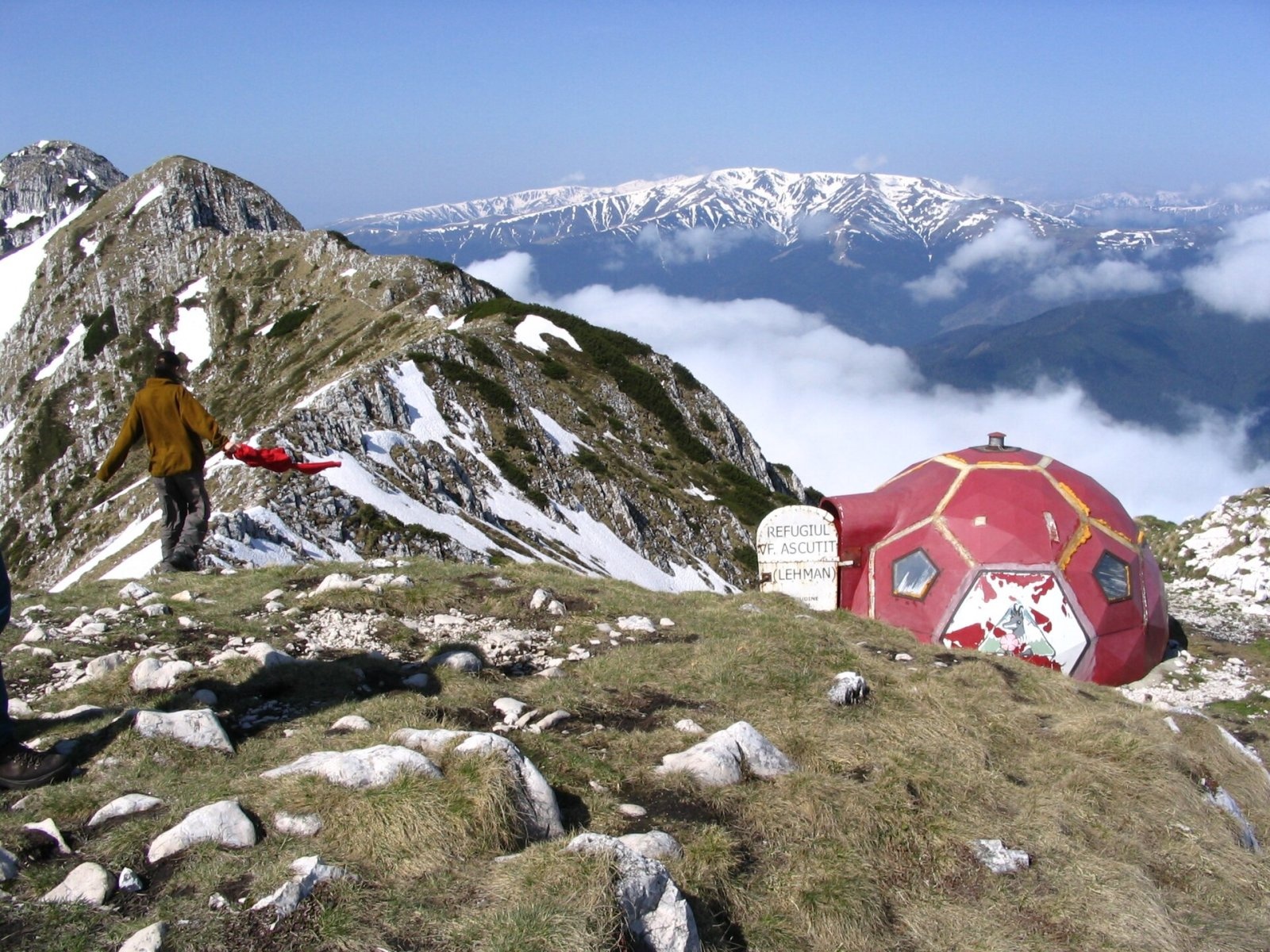
Ascuțit (Rom. Vârful Ascuțit, "Sharp") is a 2,133 m peak in the northern part of the limestone ridge of Piatra Craiului, in Piatra Craiului National Park. Its name perfectly reflects the character of this section: the ridge here is narrow and rocky, covered with dwarf pine, and the route to the massif's highest summit, La Om, is one of the most technical in the mountains. From Ascuțit to La Om summit is about 2.7 km in a straight line to the southwest.
The nearest settlements are the village of Măgura (about 5.6 km as the crow flies), the village of Peștera (about 6.1 km), and the town of Zărnești (about 6.8 km), which are the usual starting points for hikes on the northern ridge. Right next to the summit stands the mountain shelter Vârful Ascuțit Hut—a useful refuge from bad weather on the exposed ridge.
Getting there / routes
The classic ascent starts from Curmătura hut hut (1,470 m). According to muntii-nostri.ro, it takes about 2 hours to reach Ascuțit following the blue triangle trail. The same source describes a challenging loop (14.7 km, about 11 hours, 970 m ascent): from Ascuțit, follow the red dot along the most technical part of the ridge to La Om summit (about 3 hours), then descend via the red stripe to Grind hut (Rom. Refugiul Grind) and return to Curmătura via the La Table area.
Another loop, the "Northern Ridge" (6.2 km, about 6 hours, 670 m ascent, moderate to difficult), according to muntii-nostri.ro, climbs from Curmătura via the famously technical Șaua Crăpăturii saddle, reaches the northern ridge at Turnu peak (1,911 m), and then follows the sharp ridge, alternating between dwarf pine and rocky walls where you have to scramble up and down, to Ascuțit. The descent is steep from the ridge via the blue triangle back to Curmătura.
From Ascuțit, you can also descend via the Padinile Frumoase valley to Curmătura and the parking area near the Fântâna lui Botorog spring: according to the same site, this is 10.3 km and about 2 h 45 min downhill, with a 1,250 m elevation loss. A marked red triangle trail from the Padina lui Călineț valley passes the Sperantelor Hut hut (about 770 m from the summit). From the south, starting at Plaiul Foii, Ascuțit is included in a long loop via Spirlea hut (Refugiul Spirlea), La Om summit, and the Timbale peaks—14.7 km, about 6 h 30 min, 1,360 m ascent.
The view from the top
Authors describing the loop from Plaiul Foii recommend stopping at the neighboring peak Timbalul Mic (2,231 m) to admire the many towers and ribs above the upper Valea Podurilor valley—this is where the massif's classic climbing routes end.
Safety, season and rules
Ascuțit lies within Piatra Craiului National Park: a ticket is required—10 lei per person for seven days (for visitors over 14); it can be purchased online, from vending machines in Zărnești and at Plaiul Foii, or by SMS (as of the date checked, see pcrai.ro). The ridge between Ascuțit and La Om is a technical, rocky section: go only in dry weather, with experience and enough time; in winter, it is accessible only to trained climbers. On the descent via Padinile Frumoase valley, muntii-nostri.ro users in summer 2026 warned about an aggressive sheepdog near a sheepfold. Bears are common in the Romanian Carpathians: stay on marked trails, make noise, avoid dusk, and do not keep food in your tent; near sheepfolds, sheepdogs may attack—do not run, stop and shield yourself with your backpack (advice from Salvamont România).
In case of emergency, call the national mountain rescue dispatcher 0SALVAMONT — 0725 826 668 or 112.
Photos: Petr Vodička, CC BY-SA 4.0; Cioboata Andrei, CC BY 3.0; Cioboata Andrei, CC BY 3.0; Cioboata Andrei, CC BY 3.0; Amorphisman, CC BY-SA 3.0 — Wikimedia Commons.
Getting there from Ukraine
Border crossings
- Porubne – Siret — road and pedestrian, 24/7
- Diakivtsi – Racovăț — road and pedestrian, 24/7 No freight traffic.
- Krasnoilsk – Vicovu de Sus — road and pedestrian, 08:00–20:00 Cars up to 3.5 t and pedestrians only; not 24/7.
- Solotvyno – Sighetu Marmației — road and pedestrian, 24/7 Passenger traffic only: vehicles up to 3.5 t with up to 9 seats, pedestrians.
- Diakove – Halmeu — road, 24/7 No pedestrian crossing.
By car
Chernivtsi – Bușteni ≈426 km, ≈7 h 32 min (via Diakivtsi – Racovăț); Rakhiv – Bușteni ≈454 km, ≈8 h 01 min (via Solotvyno – Sighetu Marmației); Uzhhorod – Bușteni ≈557 km, ≈9 h 15 min (via Diakove – Halmeu). Times without border queues, our road routing (GraphHopper, OSM).
Checked 03.11.2026; border crossing hours and timetables change — check before you travel.
Comments
Travellers’ experience: reports, tips, questions.
No one has reported on this trail yet. Been here lately? Tell others what it is like now.
Location on the map
Water and shelter nearby
- Vârful Ascuțit Hut20 m · Not verified · 2 130 m
- Sperantelor Hut770 m · Not verified · 1 641 m
- La Găvan Spring1.1 km · Not verified · 1 864 m
- Căpitanului Orlovski Spring1.2 km · Not verified · 1 325 m
- Diana Hut1.5 km · Not verified · 1 510 m
- Spring below Turnu (south slope)1.9 km · Not verified · 1 441 m
- Curmătura hut1.9 km · Standing · 1 470 m
- Spring below Piatra Mică (west slope), 1 443 m2 km · Not verified · 1 443 m
- Spring below Colțul Scris2 km · Not verified · 1 278 m
- Spring below Turnu (south-east slope)2.3 km · Not verified · 1 530 m
- Șipotul Crăpăturii Spring2.4 km · Not verified · 1 469 m
- Crăiței Hut2.4 km · Not verified · 1 615 m
- Spring below Dealul Sasul (Popii)2.6 km · Not verified · 1 338 m
- Spring (Zărnești), 836 m2.8 km · Not verified · 836 m
- Spring below Colții Calului2.9 km · Not verified · 1 033 m
- Spring below La Om3 km · Not verified · 1 315 m
Trails nearby
All trails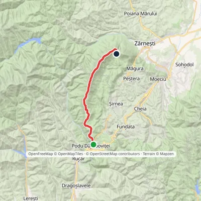 HardOne-dayMarkedPodu Dâmboviței Curmătura Hutvia La OmElevation profile759–2 238 m22.4 kmascent 1 772 m≈ 8.5 h walkingunder 1 km from Ascuțit
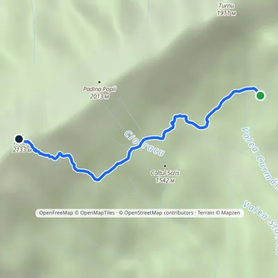 HardOne-dayMarkedCurmătura Hut Ascuțit RefugeElevation profile1 433–2 133 m2.7 kmascent 700 m≈ 2 h walkingunder 1 km from Ascuțit
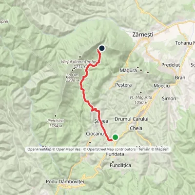 ModerateOne-dayMarkedDN73 road Curmătura Hutvia ȘirneaElevation profile1 101–1 455 m16.8 kmascent 651 m≈ 5.5 h walking1.5 km from Ascuțit
Nearby attractions
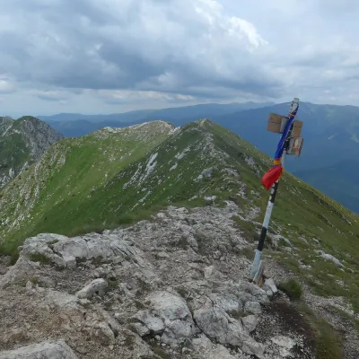 PeakLa OmPeșteraaltitude 2 238 m2.7 km from Ascuțit1 trail to the topLa Om (Romanian Vârful La Om, also Piscul Baciului – “the shepherd's peak”) is the highest summit of the Piatra Craiului massif in the Southern Carpathians of Romania,...
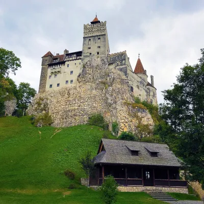 CastleBran Castle — "Dracula's Castle": pass fortress and Queen Marie's homeBran11 km from AscuțitBran Castle (Castelul Bran) stands on a rock above the village of Bran in Brașov County, between the Bucegi and Piatra Craiului massifs.
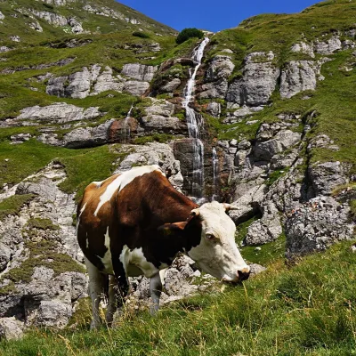 WaterfallObârșia Ialomiței Waterfall (Cascada Obârșia Ialomiței)Bușteni · Bucegi Mountains21 km from Ascuțitover 100 m high2 035 m above sea levelObârșia Ialomiței Waterfall (Cascada Obârșia Ialomiței; on maps also Cascada Obârșiei) lies in the Bucegi Mountains, at the head of the Obârșia valley, at about 2,000 m.
Craft nearby
All craft places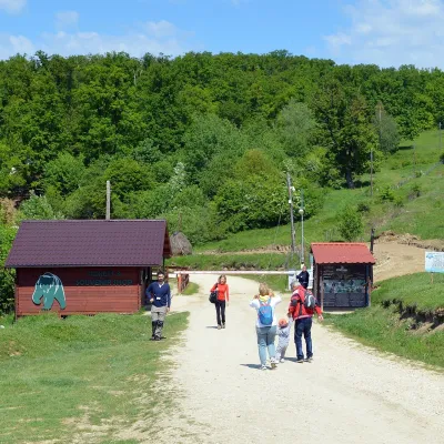 Wildlife parks & animal farmsLibearty Bear Sanctuary in Zărnești: a forest for rescued bearsVulcan13 km from AscuțitThe AMP Libearty Bear Sanctuary lies near the town of Zărnești in Brașov County, at the edge of a forest below the Piatra Craiului massif.
 Craft producersDieter’s Bread in Câmpulung: wood-fired artisan breadCâmpulung32 km from AscuțitCâmpulung (also called Câmpulung Muscel) is an old town in Argeș County at the foot of the Iezer-Păpușa Mountains, on the road to the Rucăr–Bran pass.
