Condition
Weak flowWeak flow — slow to fill, may disappear in hot weather.
- 1 407 m
- Dries out in summer or drought
About
Gorgany range, about 1 410 m above sea level. Mount Parenki Mountain (1 735 m) is about 930 m away. The nearest settlement is Osmoloda, about 8.5 km in a straight line. 8 of the site’s trails pass nearby, including “Parenky traverse (yellow route)”.
This spring dries out in summer or in dry years, so do not rely on it as your only water. The flow is weak: filling a bottle takes time.
On the map
Coordinates: 48.60562, 23.91732
How to get there
Trails nearby
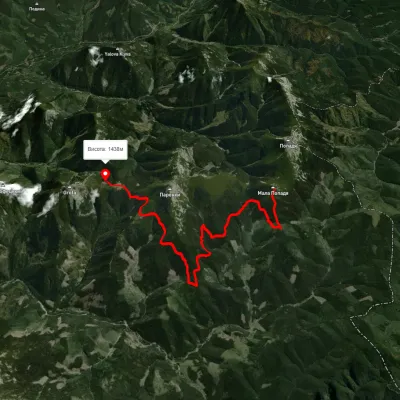 ModerateOne-dayMarkedParenky traverse (yellow route)Elevation profile1 221–1 546 m13 kmascent 1 356 m≈ 6 h walking
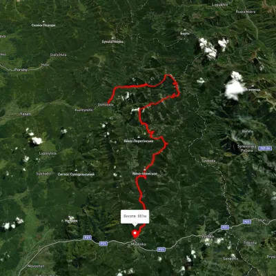 HardMulti-dayUnmarkedOsmoloda village to Myslivka villagevia Mount Popadia, Mount Koretvyna +3Elevation profile660–1 731 m74.8 kmascent 3 739 m
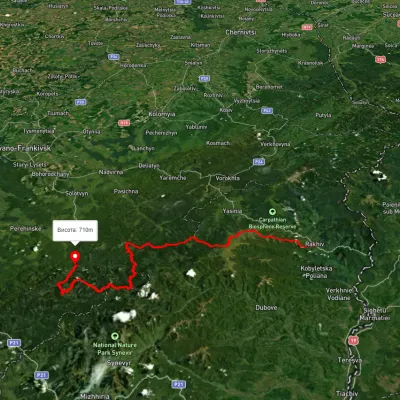 HardMulti-dayUnmarkedRakhiv to Osmoloda villagevia Mount Blyznytsia, Mount Troiaska +1Elevation profile437–1 858 m134.1 kmascent 7 086 m
 HardMulti-dayUnmarkedOsmoloda village loopvia Mount Koretvyna, Mount Mala Popadia +1Elevation profile633–1 729 m44.3 kmascent 1 814 m
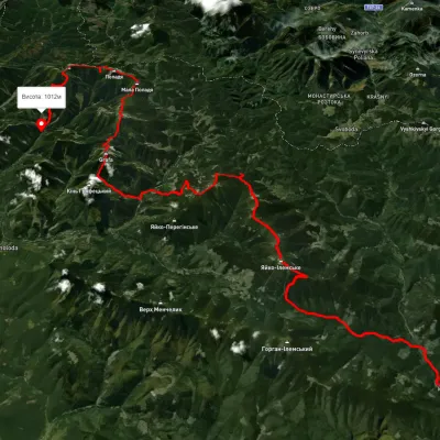 HardMulti-dayUnmarkedMyslivka village to Osmoloda villagevia Mount Yayko-Ilemske, Mount Moloda +2Elevation profile629–1 740 m61.3 kmascent 3 821 m
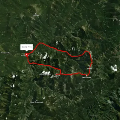 HardMulti-dayUnmarkedOsmoloda village loopvia Mount Grofa, Mount Parenky +2Elevation profile722–1 744 m42.5 kmascent 1 982 m
Nearest settlement: Osmoloda, about 8.5 km in a straight line.
Report the condition
Been here recently? Tell us what you saw and add photos — your report appears on the page right away with today’s date.
No photos yet — send yours together with a condition report.
