Condition
Not verifiedNo recent reports. Carry water and, if you pass by, tell us what you saw.
- 1 157 m
About
Borzhava range, about 1 160 m above sea level. Mount Gemba (1 491 m) is about 1.3 km away. The nearest settlement is Podobovets, about 3.7 km in a straight line. 8 of the site’s trails pass nearby, including “Pylypets village, via Shypit Waterfall, Mount Hemba and Mount Velykyi Verkh to Volovets village”.
On the map
Coordinates: 48.64390, 23.27324
How to get there
Trails nearby
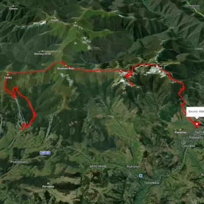 HardMulti-dayUnmarkedPylypets village to Volovets villagevia Shypit Waterfall, Mount Hemba +1Elevation profile485–1 592 m30.9 kmascent 2 558 m≈ 13 h walking
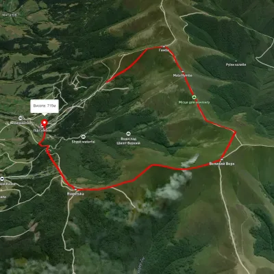 ModerateOne-dayUnmarkedPylypets village loopvia Mount Hemba, Mount Velykyi VerkhElevation profile746–1 635 m10.6 kmascent 737 m≈ 4 h walking
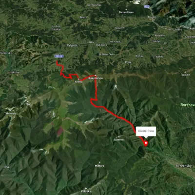 HardTwo-dayUnmarkedPodobovets village to Berezniaky villagevia Shypit Waterfall, Mount Hemba +1Elevation profile354–1 495 m23.7 kmascent 1 198 m≈ 8.5 h walking
 HardMulti-dayUnmarkedRychka village to Volovetsvia Mount Zhyd-Mahura, Mount Hemba +2Elevation profile450–1 566 m40.3 kmascent 2 510 m
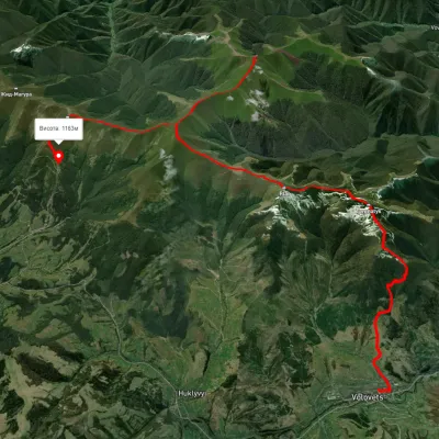 HardMulti-dayUnmarkedVolovets to Shypit Waterfallvia Mount Plai, Mount Velykyi Verkh +2Elevation profile488–1 659 m25.1 kmascent 1 886 m≈ 10 h walking
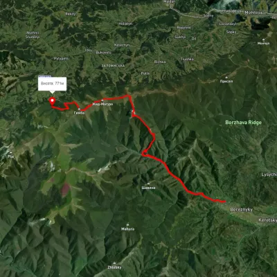 HardMulti-dayUnmarkedBerezniky village to Shypit Waterfallvia Mount Hrab, Mount Zhyd-Mahura +1Elevation profile309–1 509 m25.8 kmascent 1 350 m≈ 9 h walking
Nearest settlement: Podobovets, about 3.7 km in a straight line.
Report the condition
Been here recently? Tell us what you saw and add photos — your report appears on the page right away with today’s date.
No photos yet — send yours together with a condition report.
