Condition
Not verifiedNo recent reports. Carry water and, if you pass by, tell us what you saw.
Last edited on the OSM map 01.06.2024
- 1 132 m
- Dries out in summer or drought
About
Gorgany range, about 1 130 m above sea level. The nearest settlement is Bystrytsia, about 11 km in a straight line. 7 of the site’s trails pass nearby, including “Kvasy village, via Mount Blyznytsia, Mount Tataruka and Mount Bratkivska to Bystrytsia village”.
This spring dries out in summer or in dry years, so do not rely on it as your only water. There is no confirmation that the water is drinkable — boil or filter it first.
In an emergency in the mountains call the rescuers: 101 or 112.
Comments
Travellers’ experience: reports, tips, questions.
No one has written here yet. Be the first — your experience helps others.
On the map
Coordinates: 48.43127, 24.14652
How to get there
Trails nearby
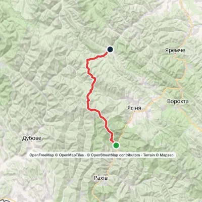 HardTwo-dayKvasy village to Bystrytsia villagevia Mount Blyznytsia, Mount Tataruka +1Elevation profile539–1 883 m49.8 kmascent 2 901 m
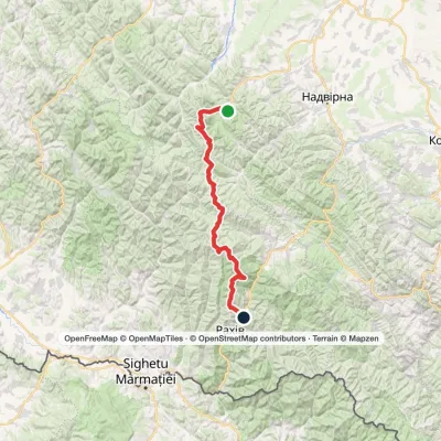 HardMulti-dayStara Huta village to Bilyn villagevia Mount Vysoka, Mount Syvulia +4Elevation profile484–1 883 m95.9 kmascent 5 352 m
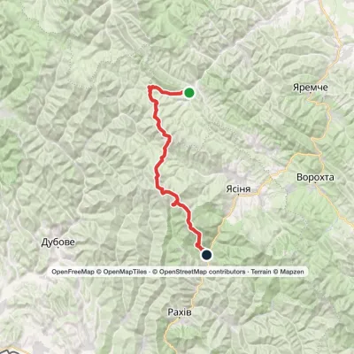 HardMulti-dayBystrytsia village to Kvasy villagevia Mount Durnia, Mount Bratkivska +2Elevation profile540–1 883 m64.5 kmascent 2 984 m
 HardMulti-dayStara Huta village to Polianytsia villagevia Mount Syvulia, Legioniv Pass +4Elevation profile706–1 836 m67.5 kmascent 3 807 m
 HardMulti-dayTatariv village to Myslivka villagevia Mount Syniak, Mount Dovbushanka +6Elevation profile656–1 836 m171.1 kmascent 10 799 m
 HardMulti-dayRakhiv to Osmoloda villagevia Mount Blyznytsia, Mount Troiaska +1Elevation profile431–1 883 m134.1 kmascent 7 367 m
Nearest settlement: Bystrytsia, about 11 km in a straight line.
Report the condition
Been here recently? Tell us what you saw and add photos — your report appears on the page right away with today’s date.
No photos yet — send yours together with a condition report.
