Baia Sprie
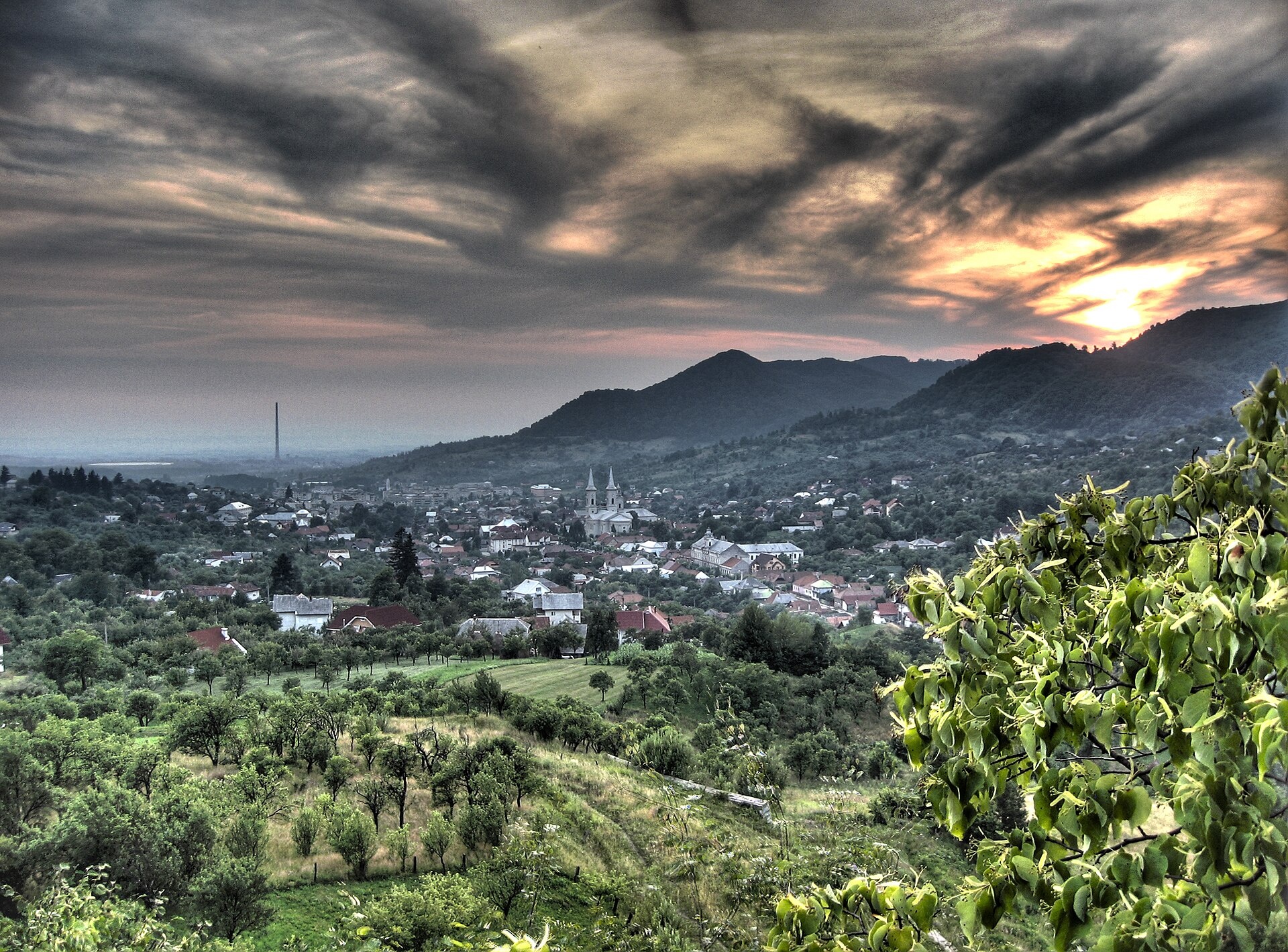
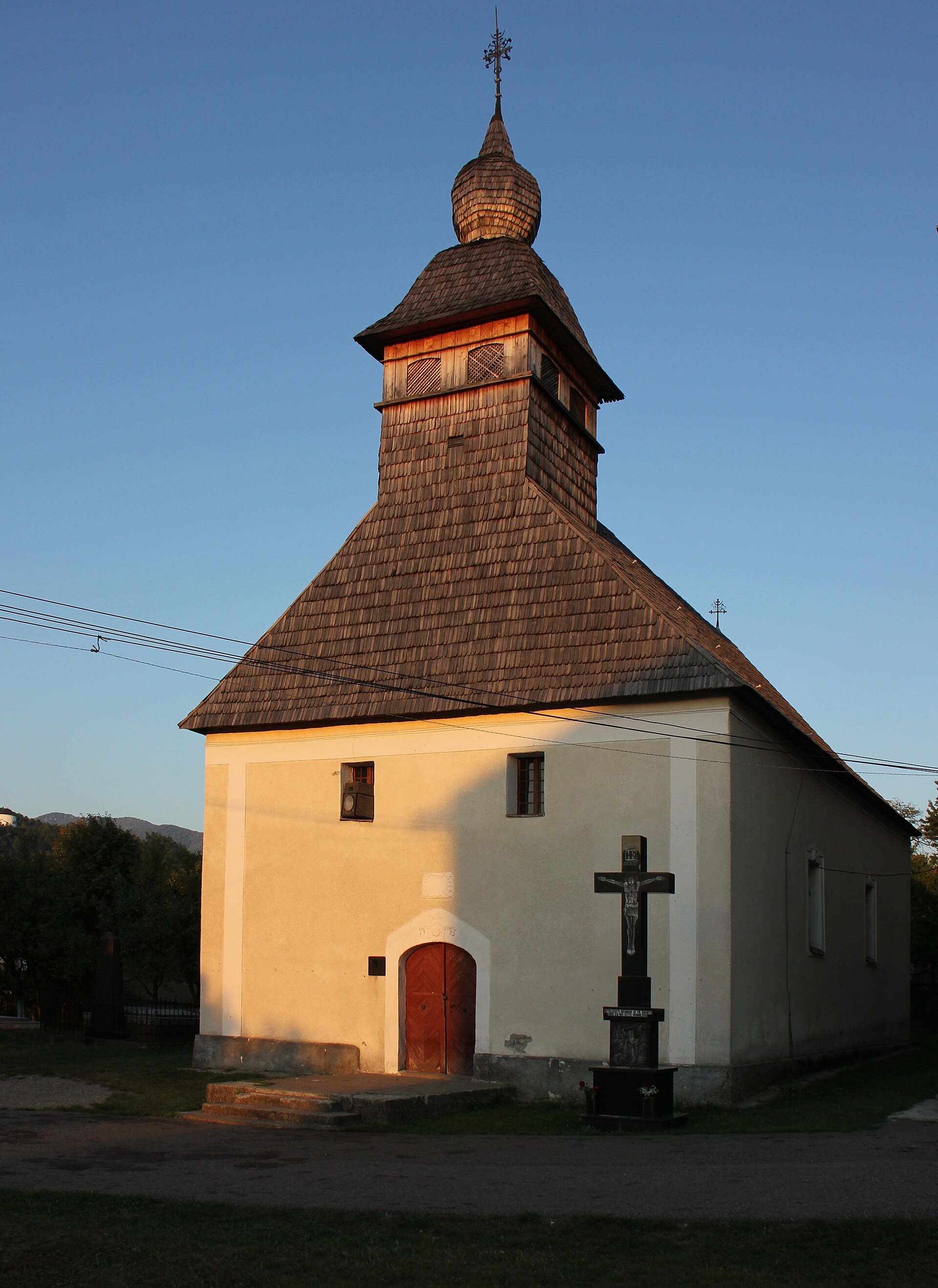
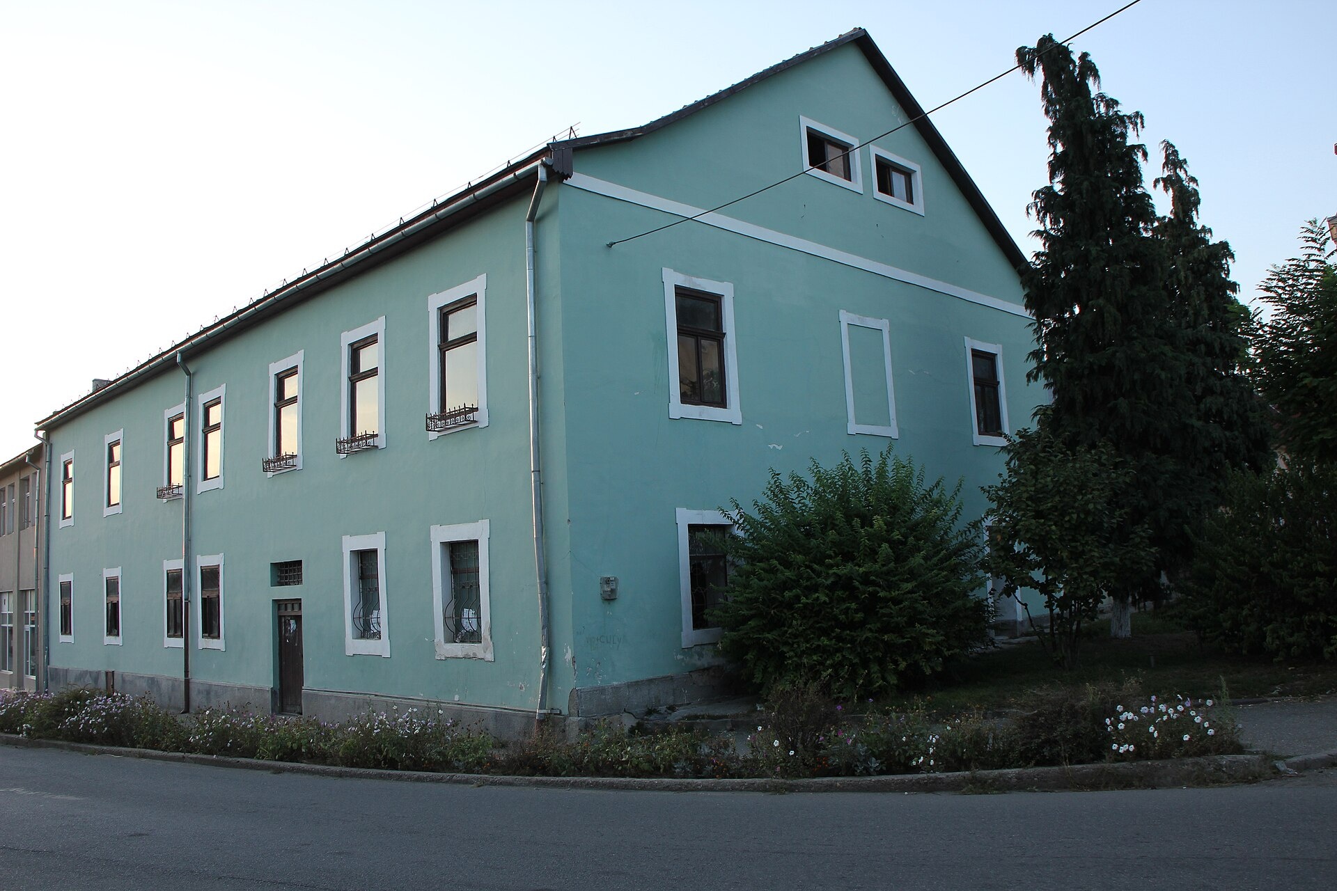
Photos: Cristi, CC BY 2.0 (Wikimedia Commons); Baia Sprie: Church of the Dormition — Alexandru Szasz, CC BY-SA 3.0 ro (Wikimedia Commons); Baia Sprie: the Mining Office building on Libertății Square — Alexandru Szasz, CC BY-SA 3.0 ro (Wikimedia Commons)
Baia Sprie (Hungarian Felsőbánya, “upper mine”; German Mittelstadt) is a town in Maramureș County, 9 km from Baia Mare, at about 500 m below the Gutâi Mountains. The 2021 census counted 14,329 inhabitants.
It is one of the most important former mining centres of the region: ore was worked here as early as the Bronze Age, gold and silver mining is mentioned around 1141, when the Saxons settled the area, and in 1329 the settlement is recorded as Mons Medius. Chiuzbaia and Tăuții de Sus also belong to the town.
On the site the trail “Baia Sprie – Poiana Boului” into the Gutâi Mountains starts in the town.
Getting there from Ukraine
The nearest place we have road figures for is Sighetu Marmației (≈33 km from here in a straight line): Rakhiv – Sighetu Marmației ≈45 km, ≈56 min (via Solotvyno – Sighetu Marmației); Uzhhorod – Sighetu Marmației ≈162 km, ≈2 h 53 min (via Solotvyno – Sighetu Marmației). Times are without border queues, by our road routing. Romanian national roads require an electronic vignette (rovinieta).
Sources: Wikipedia, Wikidata, OpenStreetMap, Karpaty.rocks data. More on Wikipedia
Comments
Travellers’ experience: reports, tips, questions.
No one has written here yet. Be the first — your experience helps others.
What's nearby
Trails nearby
All trails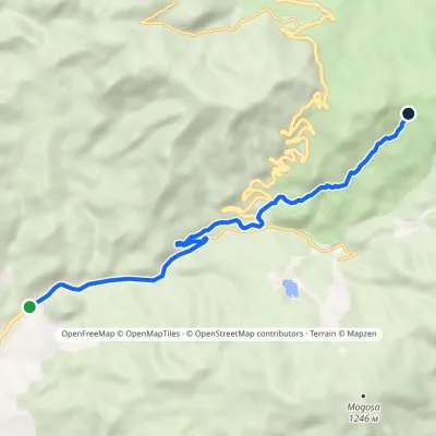 ModerateOne-dayMarkedBaia Sprie Poiana BouluiElevation profile410–996 m8.6 kmascent 585 m≈ 3 h walking2.2 km from the centre
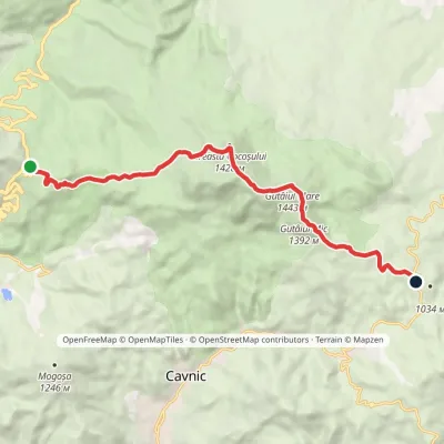 ModerateOne-dayMarkedGutâi Pass Neteda PassElevation profile983–1 443 m12.6 kmascent 559 m≈ 4 h walking7.8 km from the centre
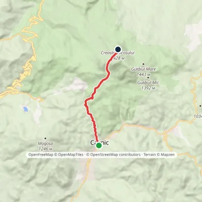 ModerateOne-dayMarkedCavnic Creasta CocoșuluiElevation profile611–1 379 m7.1 kmascent 766 m≈ 3 h walking9.5 km from the centre
Peaks nearby
All peaks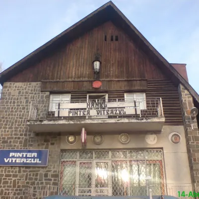
What to visit
All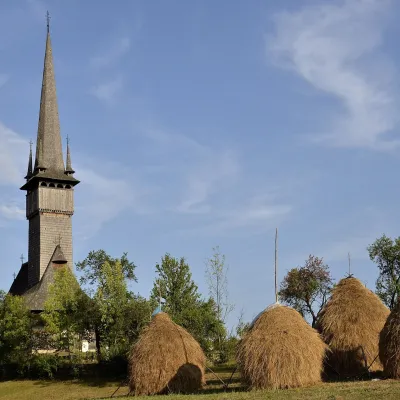 ChurchHoly Archangels Church, Șurdești: UNESCO wooden churchȘurdești9 km from the centreIts main landmark is the wooden church of the Holy Archangels Michael and Gabriel, one of the eight churches inscribed on the UNESCO World Heritage List in 1999 as the...
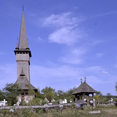 ChurchHoly Archangels Church, Plopiș: UNESCO wooden churchPlopiș9.8 km from the centreThe villagers were known as skilled carpenters, and at the end of the 18th century they set about building a new church to replace the old one.
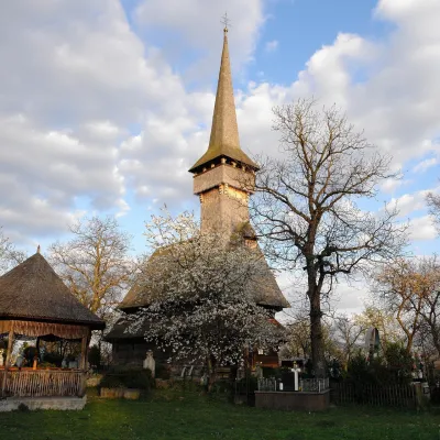 ChurchSt Paraskeva's Church, Desești: UNESCO wooden churchDesești17 km from the centreIts wooden church of St Paraskeva is one of the eight inscribed on the UNESCO World Heritage List in 1999 as the "Wooden Churches of Maramureș".
Huts, shelters and springs nearby
Getting there from Ukraine
Border crossings
- Porubne – Siret — road and pedestrian, 24/7
- Diakivtsi – Racovăț — road and pedestrian, 24/7 No freight traffic.
- Krasnoilsk – Vicovu de Sus — road and pedestrian, 08:00–20:00 Cars up to 3.5 t and pedestrians only; not 24/7.
- Solotvyno – Sighetu Marmației — road and pedestrian, 24/7 Passenger traffic only: vehicles up to 3.5 t with up to 9 seats, pedestrians.
- Diakove – Halmeu — road, 24/7 No pedestrian crossing.
By car
Rakhiv – Sighetu Marmației ≈45 km, ≈56 min (via Solotvyno – Sighetu Marmației); Uzhhorod – Sighetu Marmației ≈162 km, ≈2 h 53 min (via Solotvyno – Sighetu Marmației); Ivano-Frankivsk – Sighetu Marmației ≈179 km, ≈3 h 16 min (via Solotvyno – Sighetu Marmației). Times without border queues, our road routing (GraphHopper, OSM).
Checked 03.11.2026; border crossing hours and timetables change — check before you travel.
