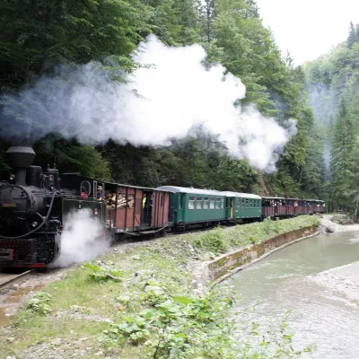
Gutâiul Mare
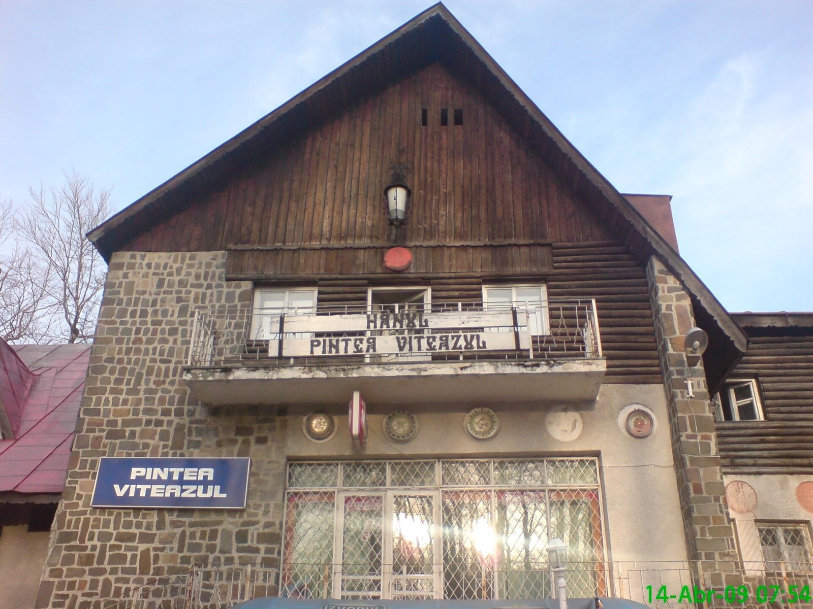
Gutâiul Mare (Romanian: Vârful Gutâiul Mare, also simply Gutâi) is the highest summit of the volcanic Gutâi Mountains in Maramureș County, 1,443 m above sea level. According to Romanian Wikipedia, the Gutâi Mountains are the first segment of the Neogene volcanic chain Vihorlat – Gutâi – Harghita, which lies almost entirely in Romania. They lie between the Maramureș Depression to the north, the Țibleș Mountains and the Lăpuș Depression to the south-east, the Copalnic Depression to the south and the Baia Mare Depression to the west; the city of Baia Mare lies at their foot. The nearest settlements to the summit are the mining town of Cavnic (about 5 km) and the villages of Breb and Mara (7 km).
Other notable peaks of the massif are Creasta Cocoșului (1,428 m), Gutâiul Doamnei (1,424 m), Gutâiul Mic (1,398 m), Secătura (1,392 m) and Mogoșa (1,246 m). The massif also includes the Igniș Mountains to the north-west, separated by the Gutâi pass.
How to get there / routes
The red stripe of the European path E8 runs along the ridge of the massif from the Gutâi pass (987 m) via Creasta Cocoșului to the Neteda pass (1,058 m); it passes almost over the summit of Gutâiul Mare. Both passes are crossed by roads: the Sighetu Marmației – Baia Mare road over the Gutâi pass and the Sighet – Ocna Șugatag – Cavnic road over Neteda. From the Maramureș side, from the village of Breb, a blue triangle route leads to the summit.
What you can see from the summit
From the Gutâi ridge you see the Maramureș Depression with the Mara and Cosău valleys to the north, the Țibleș Mountains to the east and the Baia Mare Depression to the west; close by to the north-west rise the jagged rocks of Creasta Cocoșului.
Nature and history
The massif is built of andesites, pyroclastic rocks, basaltic andesites, volcanic agglomerates and lava flows. The slopes are covered with deciduous and coniferous forests and higher up with pastures; grazing has long been practised here, and the subsoil holds non-ferrous and polymetallic ores.
The most famous spot of the massif is the Creasta Cocoșului («Rooster's Crest») rocks, also called locally Tifăria Gutâiului, Pana Cocoșului or Piatra Mare. According to Romanian Wikipedia, it is a group of sharp, crenellated rocks about 200 m long, named for its resemblance to a rooster's comb. Since 2000 a 50 ha nature reserve (IUCN category IV) protects it, in the commune of Desești. It is home to the golden eagle, lesser spotted eagle, raven and sparrowhawk, and in the forests red deer, wolf and lynx; rare plants include the martagon lily, mountain everlasting and moonwort. At the foot of the rocks lies the Poiana Boului plateau.
Safety, season and rules
The Gutâi Mountains are not high, but the open ridges and the Creasta Cocoșului rocks are slippery in rain and fog and dangerous in thunderstorms; do not climb the rocks without equipment. Remember that Creasta Cocoșului is a nature reserve: stay on the path and do not disturb the birds.
Bears are common in the Romanian Carpathians. Salvamont rescuers advise not to hike alone, to talk loudly so that an animal hears you in advance, to keep your distance and never feed wildlife, and to store food in sealed containers away from your tent; if you meet a bear, do not run and back away slowly without turning your back.
Mountain rescue: Salvamont national dispatch 0SALVAMONT = 0725 826 668 and the emergency number 112.
Interesting facts
- The Gutâi Mountains open the volcanic chain that runs across Romania to the Harghita.
- The Creasta Cocoșului rocks have at least four local names.
Getting there from Ukraine
Border crossings
- Porubne – Siret — road and pedestrian, 24/7
- Diakivtsi – Racovăț — road and pedestrian, 24/7 No freight traffic.
- Krasnoilsk – Vicovu de Sus — road and pedestrian, 08:00–20:00 Cars up to 3.5 t and pedestrians only; not 24/7.
- Solotvyno – Sighetu Marmației — road and pedestrian, 24/7 Passenger traffic only: vehicles up to 3.5 t with up to 9 seats, pedestrians.
- Diakove – Halmeu — road, 24/7 No pedestrian crossing.
By car
Rakhiv – Sighetu Marmației ≈45 km, ≈56 min (via Solotvyno – Sighetu Marmației); Uzhhorod – Sighetu Marmației ≈162 km, ≈2 h 53 min (via Solotvyno – Sighetu Marmației); Ivano-Frankivsk – Sighetu Marmației ≈179 km, ≈3 h 16 min (via Solotvyno – Sighetu Marmației). Times without border queues, our road routing (GraphHopper, OSM).
Checked 03.11.2026; border crossing hours and timetables change — check before you travel.
Comments
Travellers’ experience: reports, tips, questions.
No one has reported on this trail yet. Been here lately? Tell others what it is like now.
Location on the map
Water and shelter nearby
- Creasta Cocoșului Spring1.8 km · Not verified · 1 315 m
- Creasta Cocoșului Hut2.3 km · Not verified · 1 152 m
- Spring below Secătura (north slope)2.4 km · Not verified · 1 147 m
Trails nearby
All trails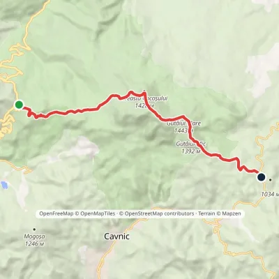 ModerateOne-dayMarkedGutâi Pass Neteda PassElevation profile983–1 443 m12.6 kmascent 559 m≈ 4 h walkingunder 1 km from Gutâiul Mare
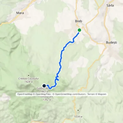 ModerateOne-dayMarkedBreb Gutâiul MareElevation profile515–1 443 m8.7 kmascent 928 m≈ 3.5 h walkingunder 1 km from Gutâiul Mare
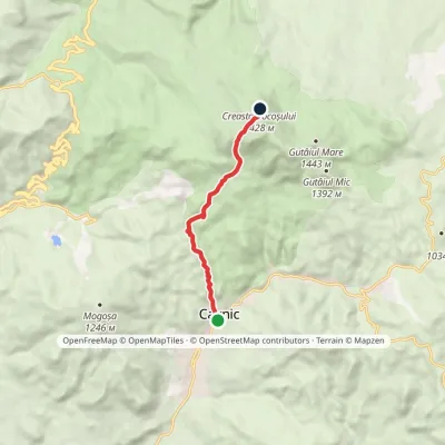 ModerateOne-dayMarkedCavnic Creasta CocoșuluiElevation profile611–1 379 m7.1 kmascent 766 m≈ 3 h walking1.6 km from Gutâiul Mare
Nearby attractions
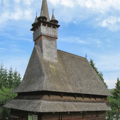 ChurchSt Nicholas' Church, Budești-Josani: UNESCO wooden churchBudești7.1 km from Gutâiul MareThe largest church of historic Maramureș The village of Budești lies in the valley of the Cosău river at the foot of the Gutâi Mountains, about 30 km south of Sighetu...
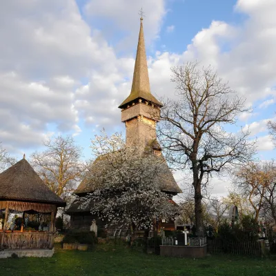 ChurchSt Paraskeva's Church, Desești: UNESCO wooden churchDesești8.7 km from Gutâiul MareIts wooden church of St Paraskeva is one of the eight inscribed on the UNESCO World Heritage List in 1999 as the "Wooden Churches of Maramureș".
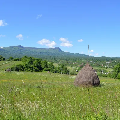 Ethno tours & guidesEco Maramureș: craft tours to Breb, Sârbi and CălineștiOcna Șugatag11 km from Gutâiul MareEco Maramureș is an officially recognised ecotourism destination in the Mara and Cosău valleys and the Gutâi Mountains, between Sighetu Marmației and Baia Mare.