Telciu
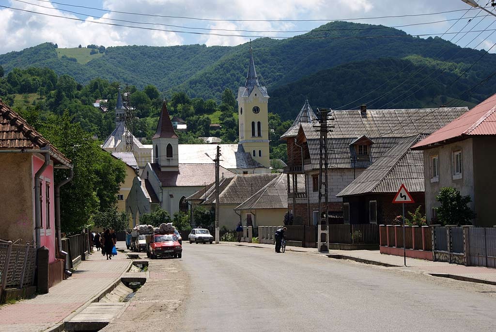
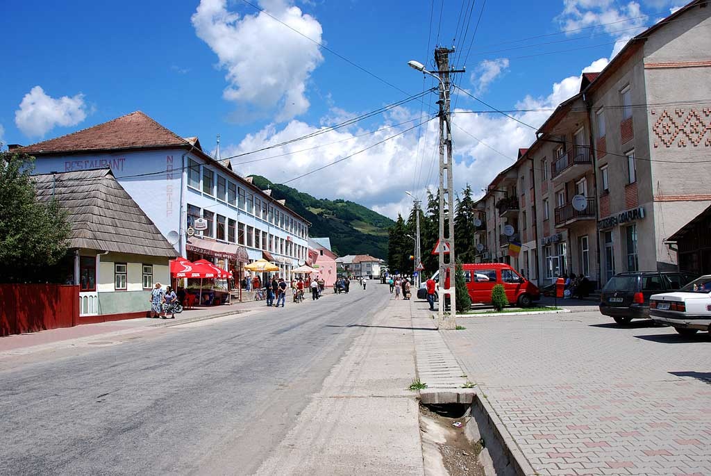
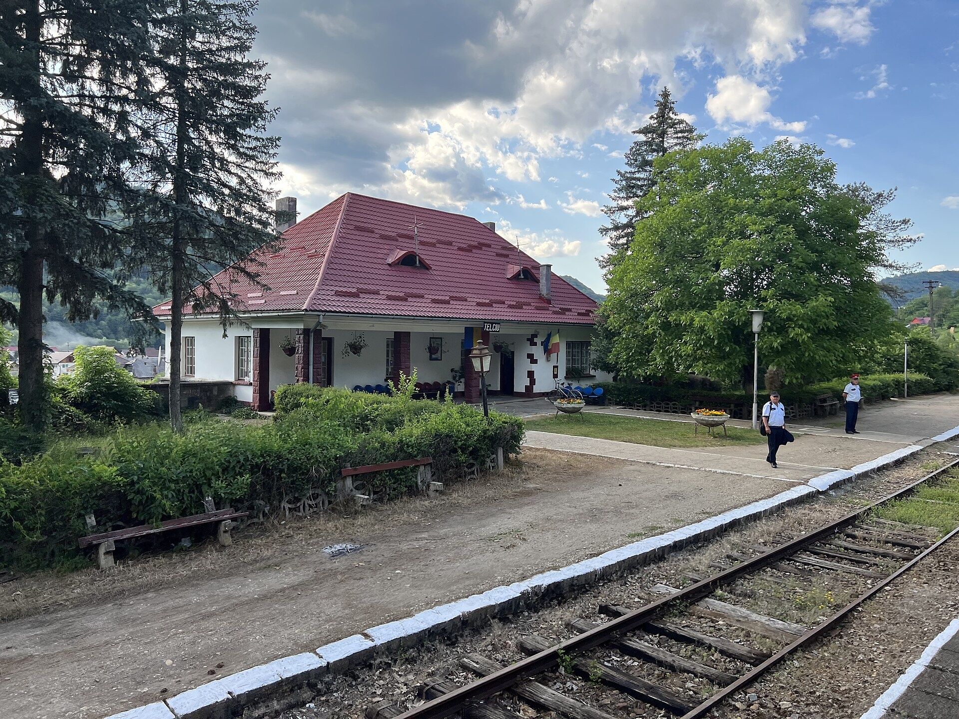
Photos: Telciu: the DN17C road in the village — Hans-Peter.Fuchs, CC BY-SA 3.0 (Wikimedia Commons); Telciu: the village centre — Hans-Peter.Fuchs, CC BY-SA 3.0 (Wikimedia Commons); Telciu: the railway station — Florian Stoeger, CC BY 3.0 (Wikimedia Commons)
Telciu is a village in Romania.
Elevation: about 427 m above sea level. Population: 3,630 (2021). Mountains nearby: Rodna Mountains.
Here and nearby on the site: 1 trail.
Facts: Wikidata, OpenStreetMap. More on Wikipedia
What's nearby
Trails nearby
All trails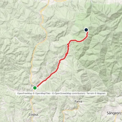 HardOne-dayMarkedTelciu Bătrânei SaddleElevation profile391–1 707 m25.6 kmascent 1 489 m≈ 9 h walkingunder 1 km from the centre
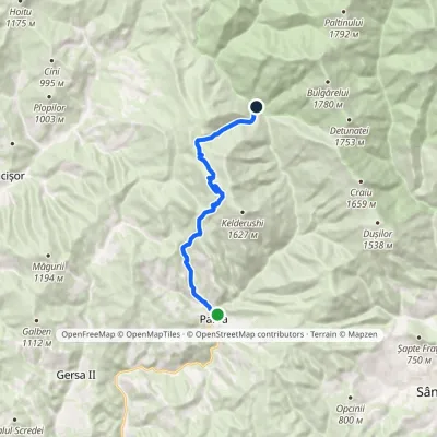 ModerateOne-dayMarkedParva Izvoru Negru forest lodgeElevation profile515–1 514 m13.7 kmascent 998 m≈ 5 h walking9.7 km from the centre
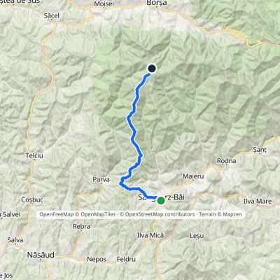 Hard1–2 daysMarkedSângeorz-Băi Obârșia Rebrii SaddleElevation profile437–2 024 m33.5 kmascent 2 738 m≈ 13 h walking15 km from the centre
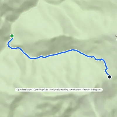 EasyOne-dayMarkedÎntre Rebre Zânelor SaddleElevation profile882–1 514 m4.4 kmascent 630 m≈ 2 h walking15 km from the centre
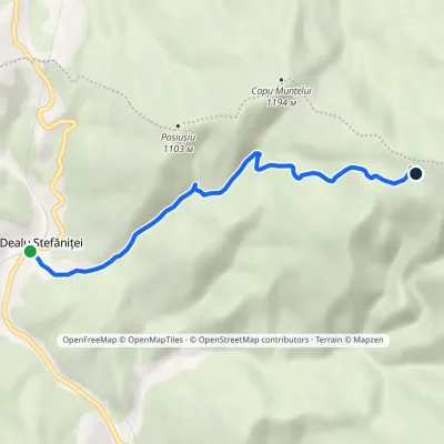 EasyOne-dayMarkedDealu Ștefăniței La VălaieElevation profile689–1 388 m5.5 kmascent 699 m≈ 2.5 h walking16 km from the centre
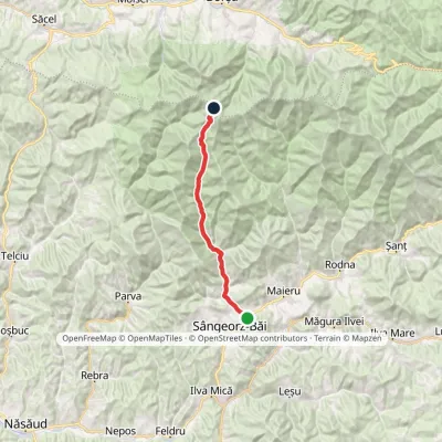 HardOne-dayMarkedCormaia Obârșia Rebrii SaddleElevation profile453–2 006 m24.7 kmascent 1 569 m≈ 9 h walking18 km from the centre
Peaks nearby
All peaks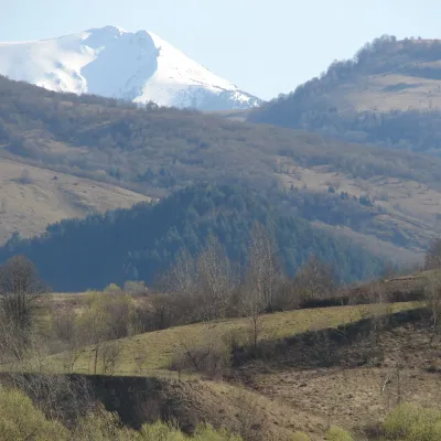
Getting there from Ukraine
Border crossings
- Porubne – Siret — road and pedestrian, 24/7
- Diakivtsi – Racovăț — road and pedestrian, 24/7 No freight traffic.
- Krasnoilsk – Vicovu de Sus — road and pedestrian, 08:00–20:00 Cars up to 3.5 t and pedestrians only; not 24/7.
- Solotvyno – Sighetu Marmației — road and pedestrian, 24/7 Passenger traffic only: vehicles up to 3.5 t with up to 9 seats, pedestrians.
- Diakove – Halmeu — road, 24/7 No pedestrian crossing.
By car
Rakhiv – Borșa ≈116 km, ≈2 h 24 min (via Solotvyno – Sighetu Marmației); Chernivtsi – Borșa ≈179 km, ≈3 h 50 min (via Krasnoilsk – Vicovu de Sus); Uzhhorod – Borșa ≈241 km, ≈4 h 27 min (via Solotvyno – Sighetu Marmației). Times without border queues, our road routing (GraphHopper, OSM).
Checked 03.11.2026; border crossing hours and timetables change — check before you travel.
