Vršatské Podhradie
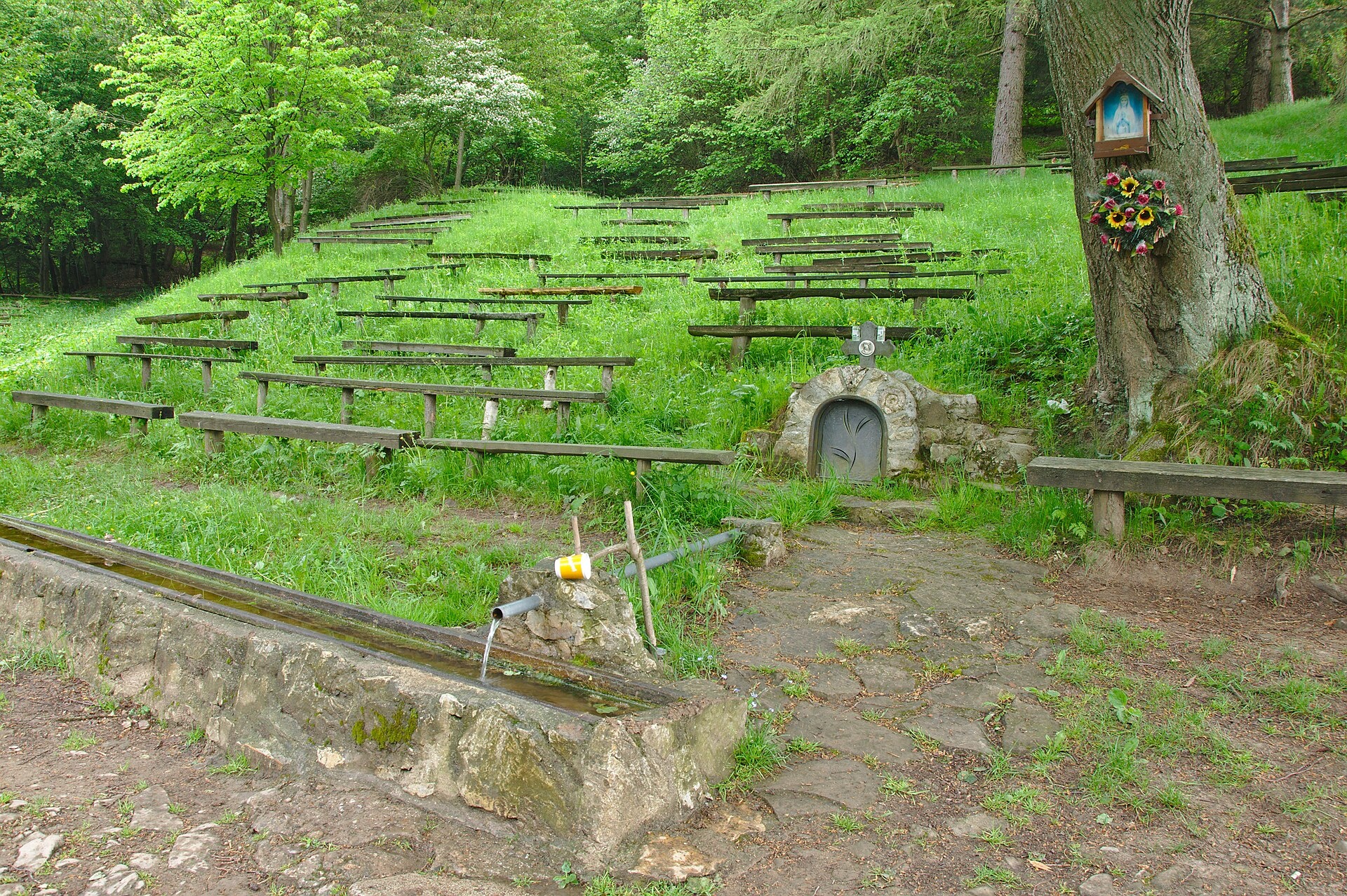
Photos: No machine-readable author provided. Fefeha~commonswiki assumed (based on copyright claims)., Public domain (Wikimedia Commons); Michal Jakubský, CC BY 3.0 (Wikimedia Commons); Marián Hubinský, CC BY-SA 3.0 (Wikimedia Commons); Michal Jakubský, CC BY 3.0 (Wikimedia Commons); Jiří Komárek, CC BY-SA 4.0 (Wikimedia Commons); Taz666, CC BY-SA 3.0 (Wikimedia Commons)
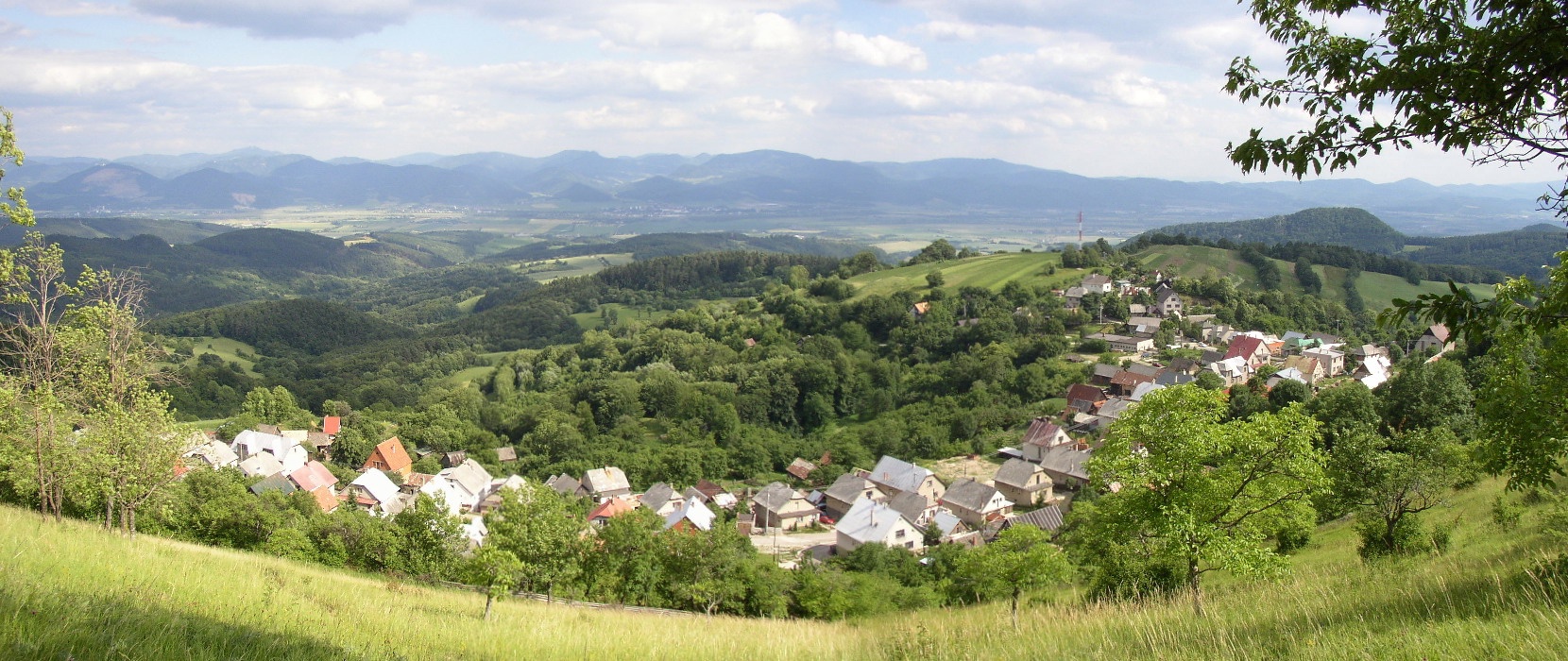
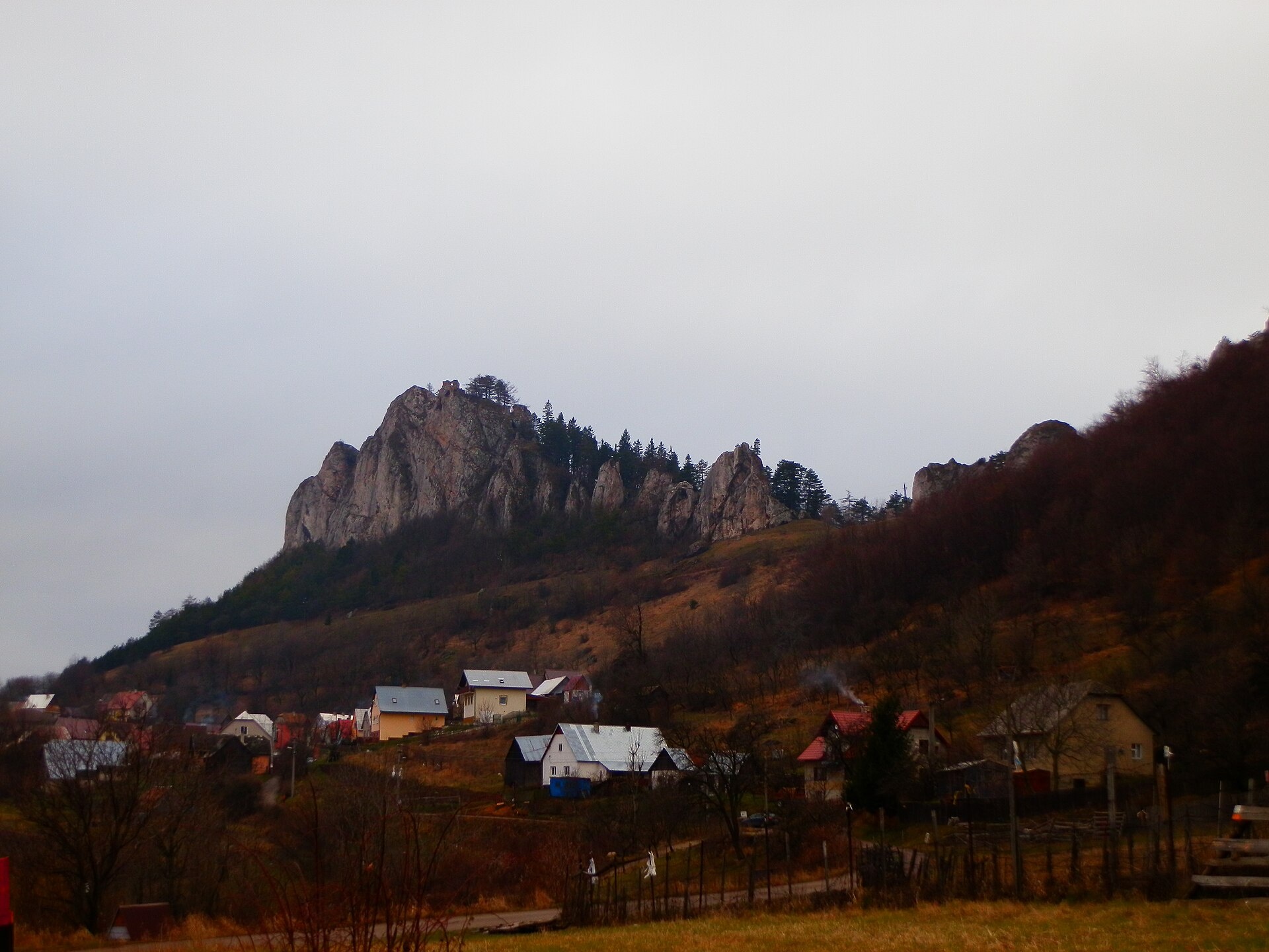
Vršatské Podhradie is a village in the Ilava District of the Trenčín Region, Slovakia, situated at an elevation of about 650 metres in the scenic White Carpathians. As of 2025, the population is 213. The area is surrounded by mountain landscapes, offering a tranquil setting for nature lovers and hikers.
The first historical mention of Vršatské Podhradie dates back to 1439. Over the centuries, the village has preserved its traditional character and forms part of the region's cultural heritage.
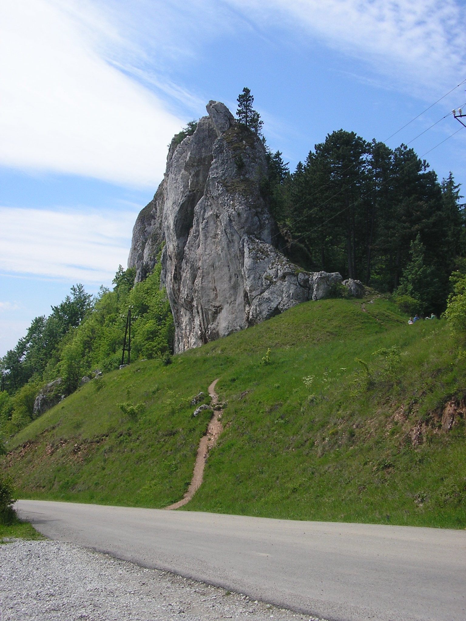
The village is known for its natural attractions, including the protected area of Biely Vrch. Vršatské Podhradie draws visitors with the picturesque views of the White Carpathians and its convenient location for exploring local mountain trails. The Vrsatec hotel, located near the Vrsatec cliffs, is an important part of the local infrastructure.
For active travellers, there are more than ten hiking trails in and around Vršatské Podhradie. Notable routes include "Dubnica nad Váhom – Trenčianske Teplice", "Bolešov – Vršatec Hut", "Vršatec – Červený Kameň", "Púchov – Brezová", "Ladce – Košecké Rovné", and "Prejta – Hut under Ostrý vrch". These trails allow visitors to explore the beauty of the White Carpathians and experience the atmosphere of a Slovak village.
Getting there from Ukraine
From Uzhhorod to Žilina is about 330 km, around 4 h 20 min without queues: Uzhhorod – Vyšné Nemecké → I/19 to Košice → D1 via Prešov, Poprad, Liptovský Mikuláš and Ružomberok (about 17 km on I/18 between D1 sections) → Žilina. To Terchová about 314 km, around 4 h 15 min: from the D1 onto I/70 and II/583. From Lviv through Poland: M-10 → Krakovets – Korczowa → A4 to Kraków → S7/DK7 to Chyżne – Trstená → R3, I/59 to Dolný Kubín → II/583 via Terchová to Žilina: to Terchová about 493 km (about 6 h 30 min), to Žilina about 518 km (about 7 h). Via the tolled A4 Kraków – Katowice, S1 and D3: about 533 km, about 6 h 35 min. The D1 requires an e-vignette (eznamka.sk).
Sources: Wikipedia, Wikidata, OpenStreetMap, Karpaty.rocks data. More on Wikipedia
Trails nearby
All trails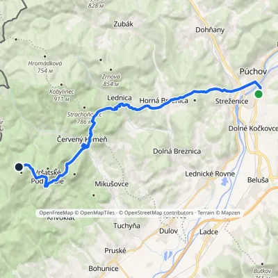 HardTwo-dayMarkedPúchov BrezováElevation profile259–750 m21.7 kmascent 1 054 m≈ 7.5 h walkingunder 1 km from the centre
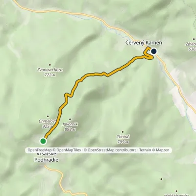 EasyOne-dayMarkedVršatec Červený KameňElevation profile358–831 m4 kmascent 104 m≈ 1 h walkingunder 1 km from the centre
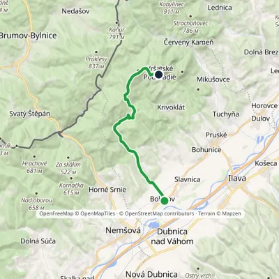 ModerateOne-dayMarkedBolešov Chata VršatecElevation profile232–785 m15.2 kmascent 577 m≈ 5 h walkingunder 1 km from the centre
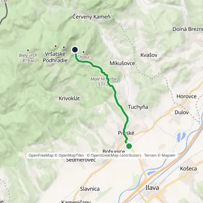 EasyOne-dayMarkedPruské Sedlo ChotučElevation profile243–623 m7.6 kmascent 423 m≈ 2.5 h walking1.3 km from the centre
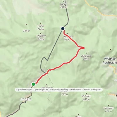 EasyOne-dayMarkedSidonie Pod OkršliskomElevation profile360–753 m6.6 kmascent 421 m≈ 2.5 h walking2 km from the centre
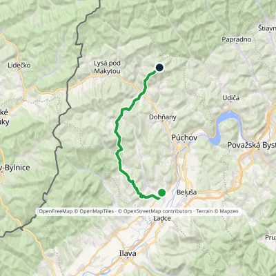 HardTwo-dayMarkedLednické Rovne Sedlo KýčeraElevation profile261–767 m24.7 kmascent 1 335 m≈ 9 h walking5.7 km from the centre
Peaks nearby
All peaks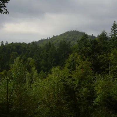
What to visit
All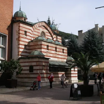 Water parks & thermal poolsTrenčianske Teplice: the Hammam and sulphur thermal bathsTrenčianske Teplice17 km from the centreTrenčianske Teplice is one of Slovakia's oldest spas, squeezed into a narrow wooded valley of the Strážov Mountains not far from Trenčín.
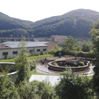 Water parks & thermal poolsNimnica: a mineral-water spa above the Nosice reservoirNimnica17 km from the centreNimnica is one of Slovakia's youngest spas, in the Váh valley between Púchov and Považská Bystrica. Its spa houses stand at about 300 m on a wooded spur of the...
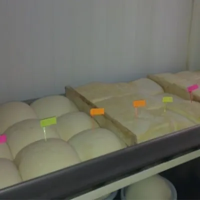 Cheese dairies & pasturesSalaš Orlové near Považská Bystrica: cheese, bryndza, žinčicaPovažská Bystrica22 km from the centreOrlové is a part of the town of Považská Bystrica on the left bank of the Váh, at the foot of hills that rise into the Strážov Hills.
Spas and thermal pools nearby
Water parks & thermal poolsTrenčianske Teplice: the Hammam and sulphur thermal bathsTrenčianske Teplice17 km from the centreTrenčianske Teplice is one of Slovakia's oldest spas, squeezed into a narrow wooded valley of the Strážov Mountains not far from Trenčín.Water parks & thermal poolsNimnica: a mineral-water spa above the Nosice reservoirNimnica17 km from the centreNimnica is one of Slovakia's youngest spas, in the Váh valley between Púchov and Považská Bystrica. Its spa houses stand at about 300 m on a wooded spur of the...Huts, shelters and springs nearby
Getting there from Ukraine
Border crossings
- Uzhhorod – Vyšné Nemecké — road, 24/7
- Malyi Bereznyi – Ubľa — road, 24/7 For cars and buses; pedestrians not confirmed by the Ukrainian border service, lorries up to 3.5 t.
- Mali Selmentsi – Veľké Slemence (pedestrian) — pedestrian, 09:00–21:00 Kyiv time Pedestrians and cyclists only; inconvenient for the Tatras without onward transport.
- Chop – Čierna nad Tisou (rail) — rail, 24/7
By car
From Uzhhorod to Žilina ≈330 km, ≈4 h 20 min without queues: Uzhhorod – Vyšné Nemecké → I/19 to Košice → D1 via Prešov, Poprad, Liptovský Mikuláš and Ružomberok (≈17 km on I/18 between D1 sections) → Žilina. To Terchová ≈314 km, ≈4 h 15 min: from the D1 onto I/70 and II/583. From Lviv through Poland: M-10 → Krakovets – Korczowa → A4 to Kraków → S7/DK7 to Chyżne – Trstená → R3, I/59 to Dolný Kubín → II/583 via Terchová to Žilina: to Terchová ≈493 km (≈6 h 30 min), to Žilina ≈518 km (≈7 h). Via the tolled A4 Kraków – Katowice, S1 and D3: ≈533 km, ≈6 h 35 min. The D1 requires an e-vignette (eznamka.sk).
Checked 23.10.2026; border crossing hours and timetables change — check before you travel.
