Trnava District
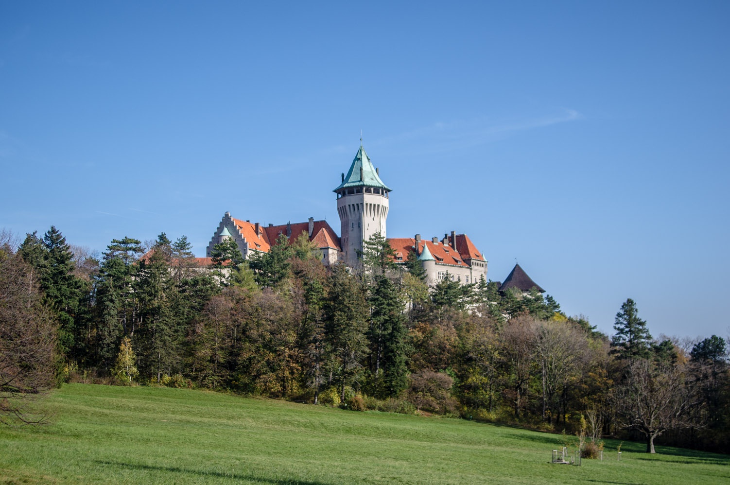
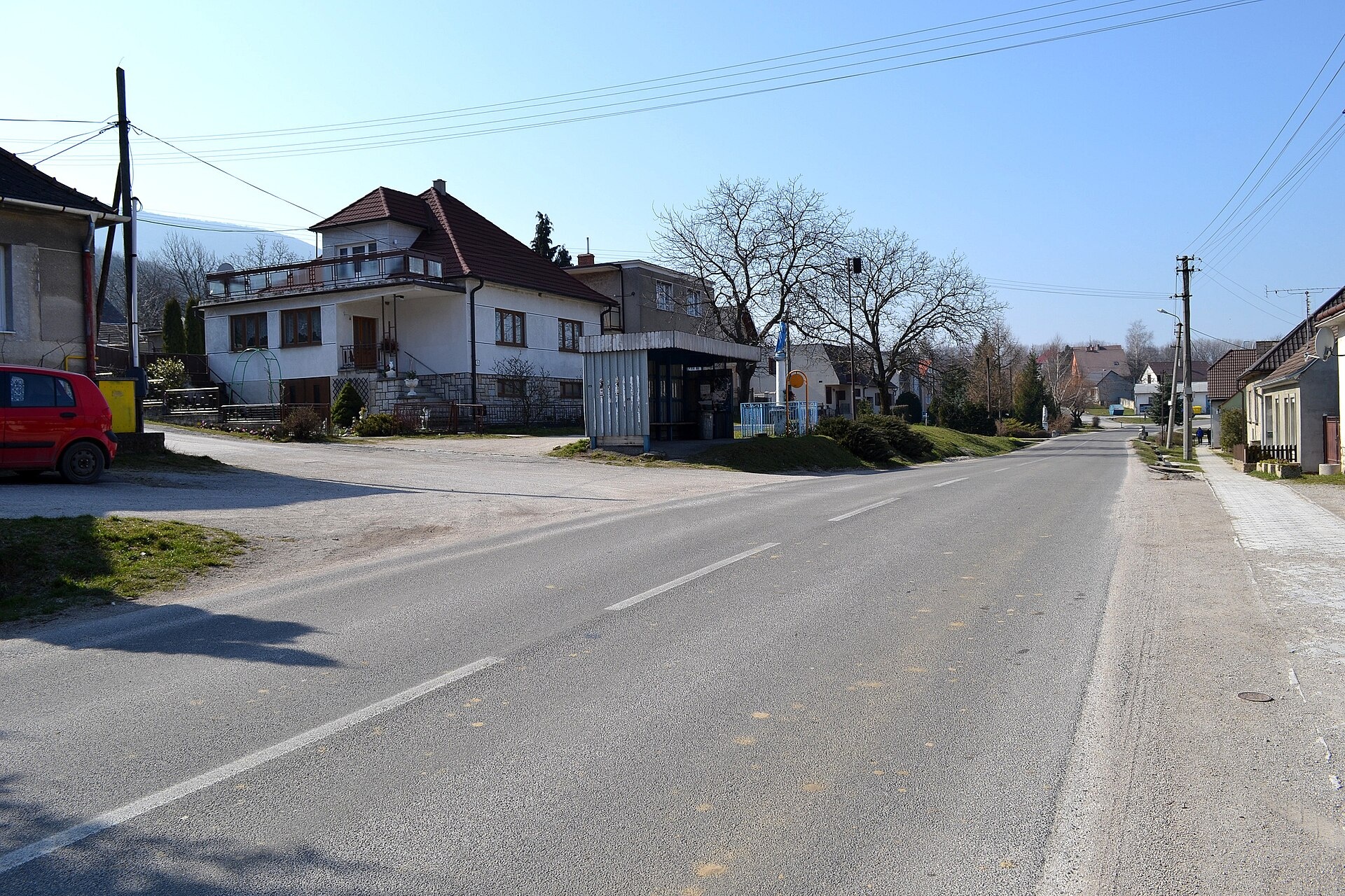
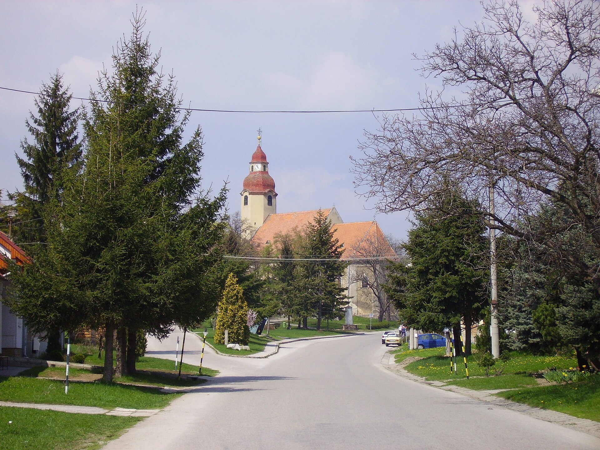
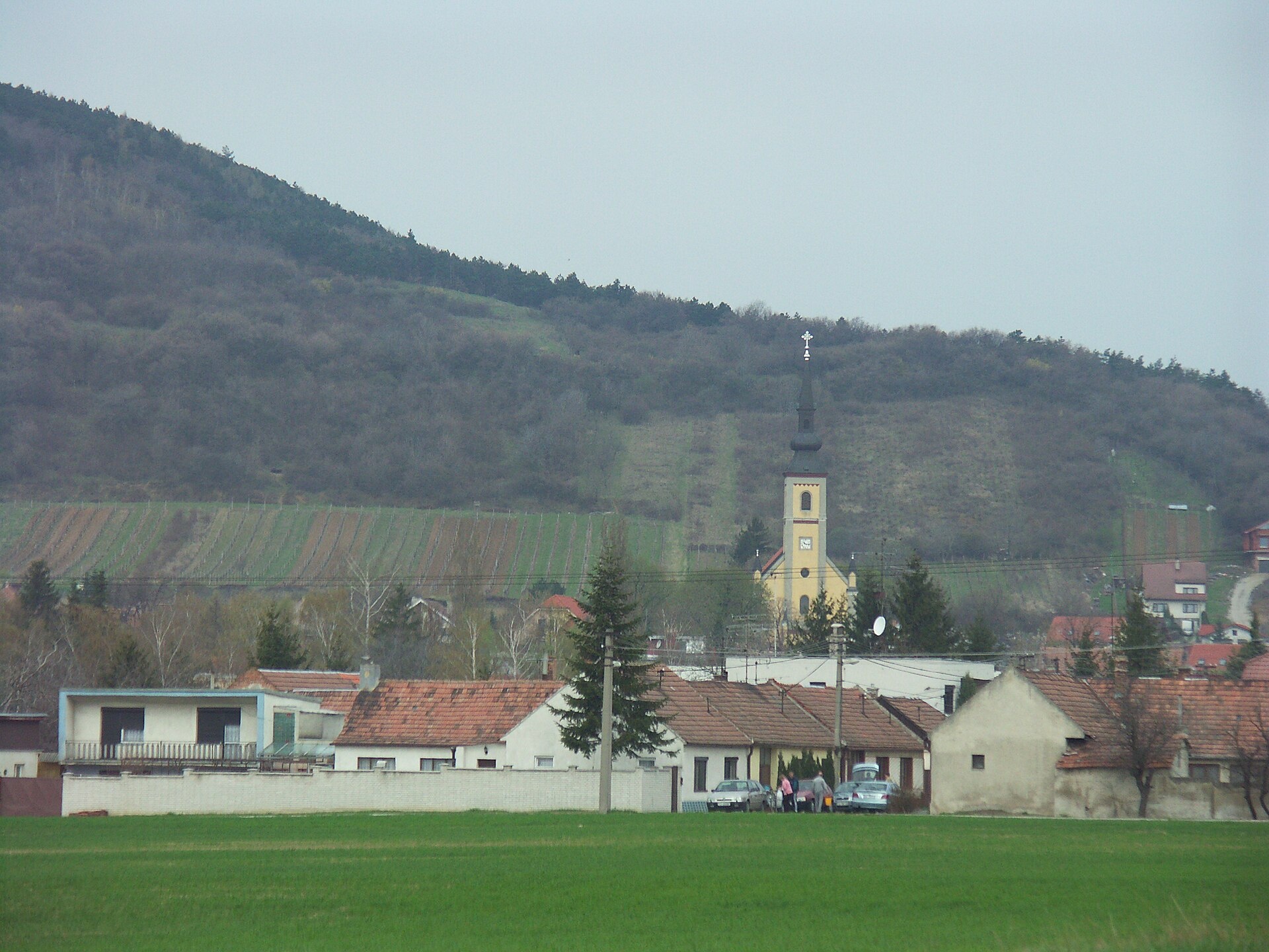
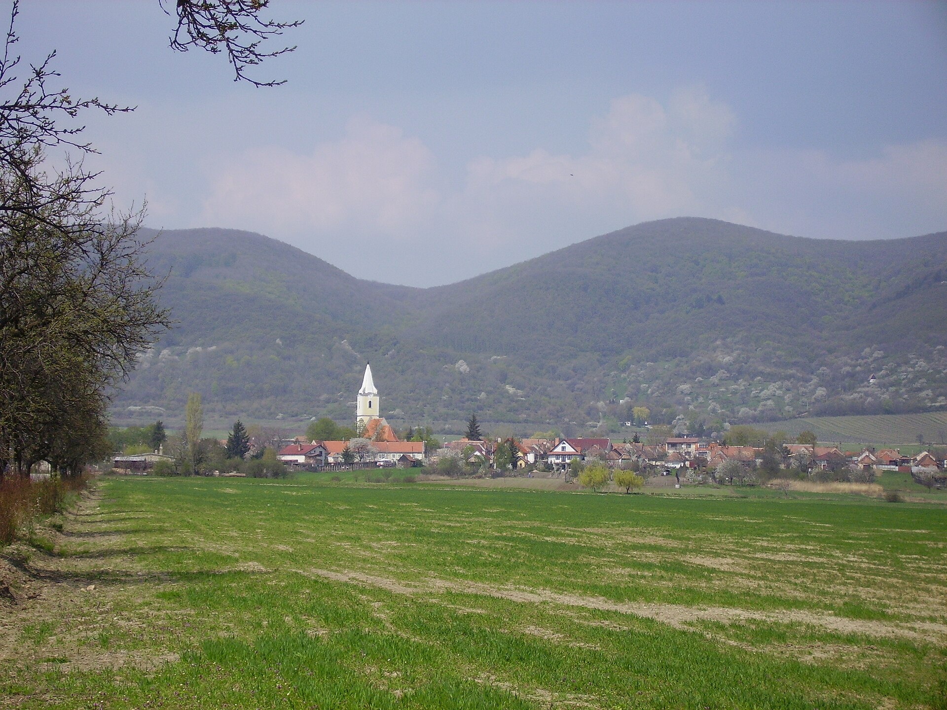
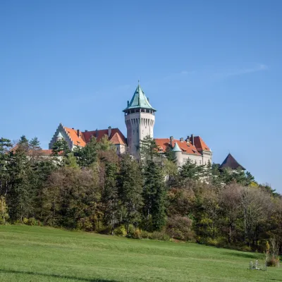
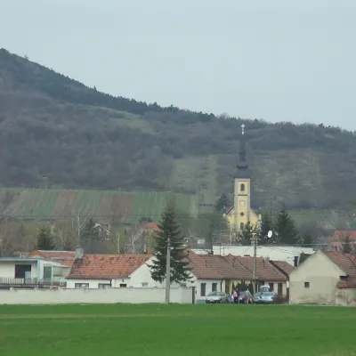
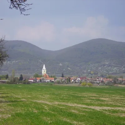
Photos: Smolenice (Wikimedia Commons, Public domain); Buková (Lure, CC BY-SA 3.0); Suchá nad Parnou (No machine-readable author provided. Rado Bahna~commonswiki assumed (based on copyright claims)., Public domain); Horné Orešany (No machine-readable author provided. Rado Bahna~commonswiki assumed (based on copyright claims)., Public domain); Dolné Orešany (No machine-readable author provided. Rado Bahna~commonswiki assumed (based on copyright claims)., Public domain)
Trnava District is an administrative district in the Trnava Region of southwestern Slovakia. Its centre is the city of Trnava. Before 1918, the area belonged mainly to the Hungarian Kingdom's Pozsony (Bratislava) county, with the eastern part around Bučany in Nitra county. The district has existed in its current form since the 1996 administrative reform of Slovakia.
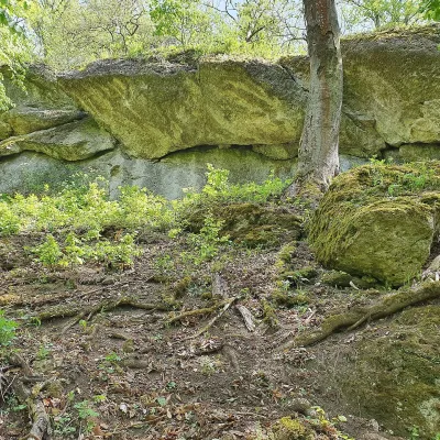
The district lies in the centre of the Trnava Region, with the Dudváh and Trnávka rivers flowing through it and the Trnava Hills located here. It borders several districts of the Trnava, Bratislava, and Trenčín regions. The landscape features hills, rivers, and picturesque villages.
On karpaty.rocks, the district is represented by towns and villages such as Smolenice, Buková, Horné Orešany, Dolné Orešany, Suchá nad Parnou, and Trstín. There are 11 hiking trails, including "Smolenice – Driny Cave" and "Horné Orešany – Zabité", as well as the Zaruby peak. Local crafts include the "Včelovina" meadery in Smolenice and Magula winery in Suchá nad Parnou.
Getting there from Ukraine
From Uzhhorod to Žilina ≈330 km, ≈4 h 20 min without queues: Uzhhorod – Vyšné Nemecké → I/19 to Košice → D1 via Prešov, Poprad, Liptovský Mikuláš and Ružomberok (≈17 km on I/18 between D1 sections) → Žilina. To Terchová ≈314 km, ≈4 h 15 min: from the D1 onto I/70 and II/583. From Lviv through Poland: M-10 → Krakovets – Korczowa → A4 to Kraków → S7/DK7 to Chyżne – Trstená → R3, I/59 to Dolný Kubín → II/583 via Terchová to Žilina: to Terchová ≈493 km (≈6 h 30 min), to Žilina ≈518 km (≈7 h). Via the tolled A4 Kraków – Katowice, S1 and D3: ≈533 km, ≈6 h 35 min. The D1 requires an e-vignette (eznamka.sk).
Sources: Wikipedia, Wikidata, OpenStreetMap, Karpaty.rocks data.
What's nearby
Towns and villages
Getting there from Ukraine
Border crossings
- Uzhhorod – Vyšné Nemecké — road, 24/7
- Malyi Bereznyi – Ubľa — road, 24/7 For cars and buses; pedestrians not confirmed by the Ukrainian border service, lorries up to 3.5 t.
- Mali Selmentsi – Veľké Slemence (pedestrian) — pedestrian, 09:00–21:00 Kyiv time Pedestrians and cyclists only; inconvenient for the Tatras without onward transport.
- Chop – Čierna nad Tisou (rail) — rail, 24/7
By car
From Uzhhorod to Žilina ≈330 km, ≈4 h 20 min without queues: Uzhhorod – Vyšné Nemecké → I/19 to Košice → D1 via Prešov, Poprad, Liptovský Mikuláš and Ružomberok (≈17 km on I/18 between D1 sections) → Žilina. To Terchová ≈314 km, ≈4 h 15 min: from the D1 onto I/70 and II/583. From Lviv through Poland: M-10 → Krakovets – Korczowa → A4 to Kraków → S7/DK7 to Chyżne – Trstená → R3, I/59 to Dolný Kubín → II/583 via Terchová to Žilina: to Terchová ≈493 km (≈6 h 30 min), to Žilina ≈518 km (≈7 h). Via the tolled A4 Kraków – Katowice, S1 and D3: ≈533 km, ≈6 h 35 min. The D1 requires an e-vignette (eznamka.sk).
Checked 23.10.2026; border crossing hours and timetables change — check before you travel.
